Blackhill Plantation
Wood, Forest in Lincolnshire East Lindsey
England
Blackhill Plantation
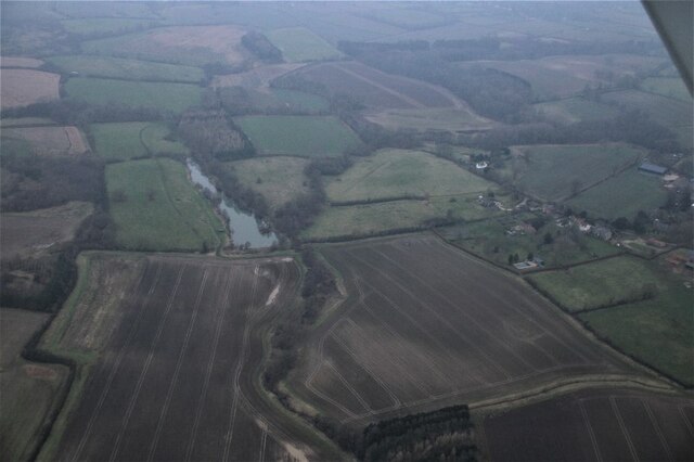
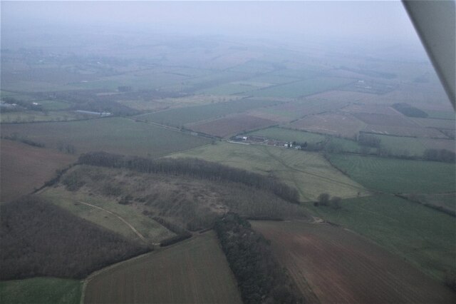
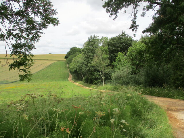
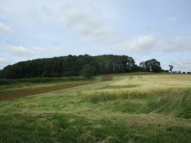
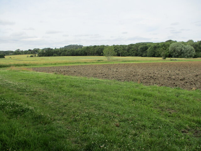
Blackhill Plantation is a picturesque woodland located in Lincolnshire, England. Spread across a sprawling area, this enchanting forest is a popular destination for nature enthusiasts and outdoor enthusiasts alike.
The plantation is characterized by its dense and diverse collection of trees, including oak, beech, and pine, which create a rich and vibrant canopy. The forest floor is adorned with a carpet of ferns, bluebells, and other wildflowers, adding to the scenic beauty of the area. This lush vegetation provides a habitat for a wide variety of wildlife, including deer, squirrels, and numerous bird species.
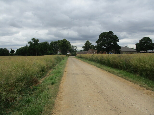
The plantation offers visitors a range of activities to engage with nature. There are well-maintained walking trails that wind through the woodland, allowing visitors to explore the area at their own pace. These trails vary in difficulty, catering to both casual strollers and more avid hikers. Along the paths, there are informative signposts highlighting interesting features of the flora and fauna found in the plantation.
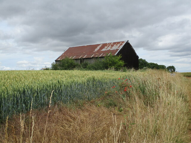
Blackhill Plantation also boasts picnic areas and designated spots for camping, making it an ideal destination for families and those seeking a tranquil escape. There are well-equipped facilities, including parking areas and toilets, ensuring visitors have a comfortable and enjoyable experience.
In addition to its natural beauty, Blackhill Plantation has historical significance. The woodland was once part of an ancient hunting ground, and remnants of an old hunting lodge can still be seen in the area, adding a touch of nostalgia and intrigue to the site.
Overall, Blackhill Plantation is a captivating woodland that offers a harmonious blend of natural beauty, recreational opportunities, and historical charm. It is a must-visit destination for anyone looking to immerse themselves in the tranquility of Lincolnshire's natural landscape.
If you have any feedback on the listing, please let us know in the comments section below.
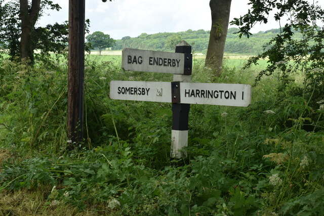
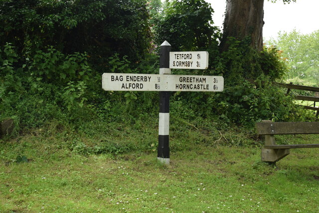
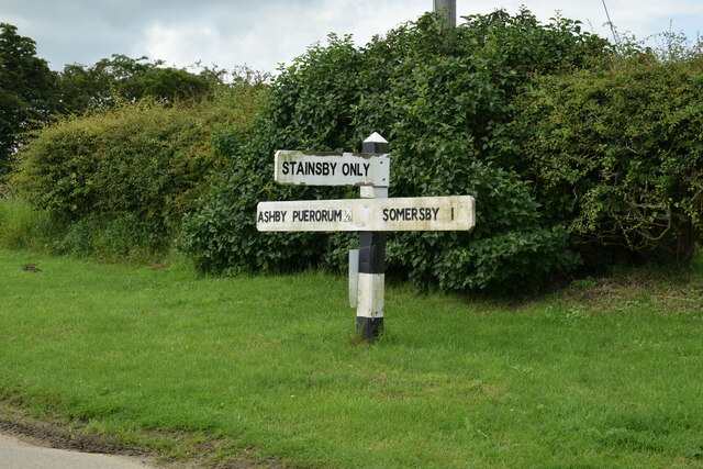
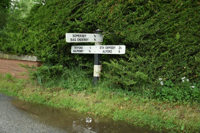
Blackhill Plantation Images
Images are sourced within 2km of 53.243638/0.002554208 or Grid Reference TF3373. Thanks to Geograph Open Source API. All images are credited.


Blackhill Plantation is located at Grid Ref: TF3373 (Lat: 53.243638, Lng: 0.002554208)
Administrative County: Lincolnshire
District: East Lindsey
Police Authority: Lincolnshire
What 3 Words
///crowd.prepared.soggy. Near Burwell, Lincolnshire
Nearby Locations
Related Wikis
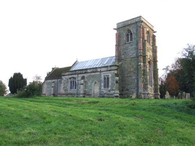
Tetford
Tetford is a village and civil parish in the East Lindsey district of Lincolnshire, England. == History == Tetford is listed as "Tesforde" in the Domesday...

Salmonby
Salmonby is a village in the civil parish of Tetford, in the East Lindsey district of Lincolnshire, England. It is situated 5.5 miles (8.9 km) north-east...

Somersby, Lincolnshire
Somersby is a village in the civil parish of Greetham with Somersby, in the East Lindsey district of Lincolnshire, England. It is situated 6 miles (9.7...
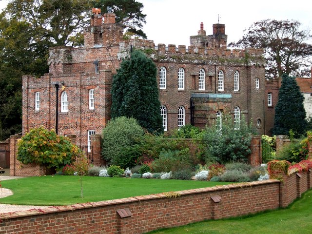
Somersby Grange
Somersby Grange is a Grade I listed Georgian country house in Somersby, Lincolnshire.The house was built in 1722 for Robert Burton, the local lord of the...

Greetham with Somersby
Greetham with Somersby is a civil parish in the East Lindsey district of Lincolnshire, England. It is situated approximately 3 miles (5 km) north-east...

Ashby Puerorum
Ashby Puerorum is a small village and former civil parish, now in the parish of Greetham with Somersby, in the East Lindsey district of Lincolnshire, England...
Bag Enderby
Bag Enderby is a village and former civil parish, now in the parish of Greetham with Somersby, in the East Lindsey district of Lincolnshire, England. It...

Bluestone Heath Road
The Bluestone Heath Road is an ancient route and ridgeway across the Lincolnshire Wolds in Lincolnshire, England. The surviving parts are somewhat fragmented...
Nearby Amenities
Located within 500m of 53.243638,0.002554208Have you been to Blackhill Plantation?
Leave your review of Blackhill Plantation below (or comments, questions and feedback).