Cinderhill Wood

Wood, Forest in Surrey Tandridge

England

Cinderhill Wood

Fox and Hounds at South Godstone This building has served ale since the 17th century. On the Tilburstow Hill Road and well worth the diversion !
Fox and Hounds at South Godstone Credit: Nigel Freeman

Cinderhill Wood is a picturesque woodland located in Surrey, England. Spread across an area of approximately 150 acres, it is a popular destination for nature enthusiasts and outdoor lovers alike. The woodland is situated near the village of Windlesham, offering a peaceful retreat from the nearby bustling towns.

The wood is predominantly composed of broadleaf trees, including oak, birch, and beech. These towering trees provide ample shade during the summer months and create a vibrant tapestry of colors in the autumn. The forest floor is adorned with a variety of wildflowers and ferns, adding to the natural beauty of the area.

Cinderhill Wood is home to a rich array of wildlife. Birdwatchers can spot various species, including woodpeckers, owls, and songbirds. Squirrels scurrying amongst the branches and rabbits darting through the undergrowth are a common sight. The wood is also known for its diverse insect population, with butterflies and dragonflies fluttering around during warmer months.

Numerous walking trails crisscross the wood, allowing visitors to explore its hidden treasures. These paths wind through the trees, leading to scenic viewpoints and tranquil spots. Along the way, benches and picnic areas are scattered, providing opportunities to rest and soak in the natural surroundings.

Cinderhill Wood holds great historical significance as well. It is believed to have been part of the Windsor Forest in medieval times and was later owned by the Crown. Today, it is managed by the local council, ensuring its preservation for future generations to enjoy.

Overall, Cinderhill Wood offers a serene and idyllic setting for those seeking solace in nature. With its diverse flora and fauna, scenic trails, and rich history, it is a true gem in the Surrey countryside.

If you have any feedback on the listing, please let us know in the comments section below.

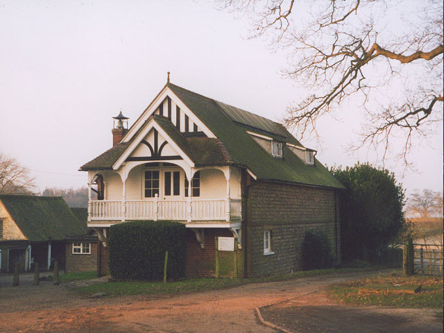
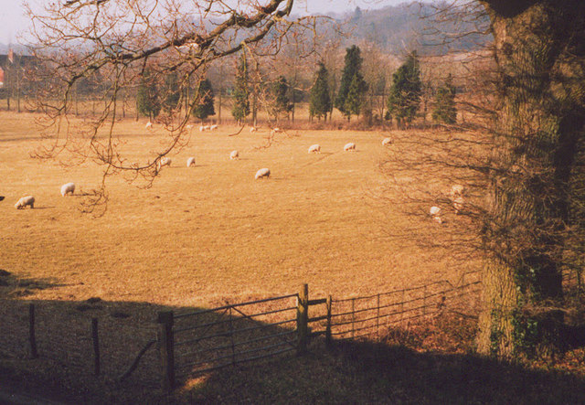
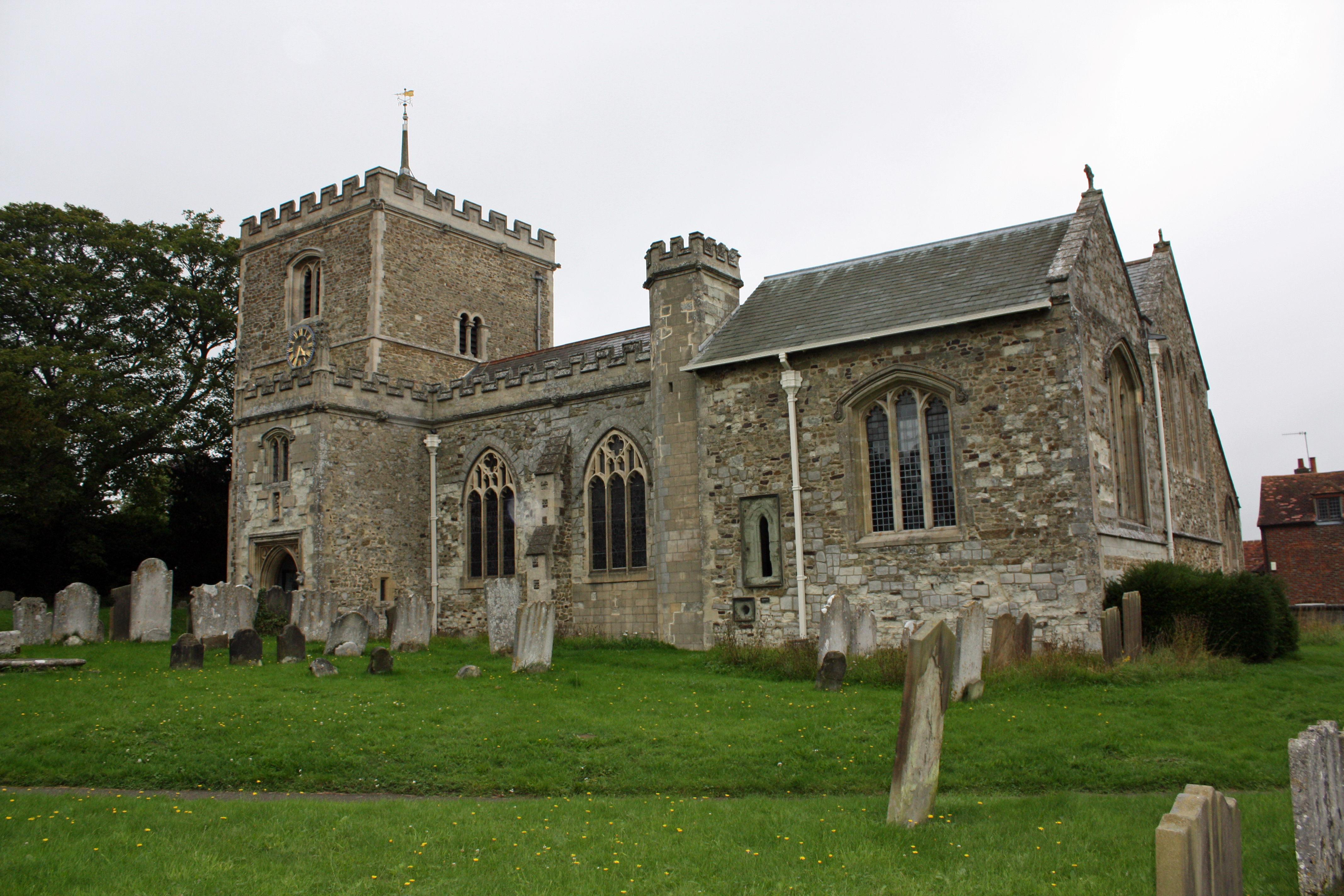
Cinderhill Wood Images

Images are sourced within 2km of 51.219879/-0.086385726 or Grid Reference TQ3348. Thanks to Geograph Open Source API. All images are credited.

Fox and Hounds at South Godstone This building has served ale since the 17th century. On the Tilburstow Hill Road and well worth the diversion !
Fox and Hounds at South Godstone
This building has served ale since the 17th century. On the Tilburstow Hill Road and well worth the diversion !
Coldharbour Farm now a private house
Coldharbour Farm
now a private house
from bridge in Outwood Lane Unlikely though it may seem this, the Redhill to Tonbridge Line <span class="nowrap"><a title="http://en.wikipedia.org/wiki/Redhill_to_Tonbridge_Line" rel="nofollow ugc noopener" href="http://en.wikipedia.org/wiki/Redhill_to_Tonbridge_Line">Link</a><img style="margin-left:2px;" alt="External link" title="External link - shift click to open in new window" src="https://s1.geograph.org.uk/img/external.png" width="10" height="10"/></span> , was part of the first rail route from London to Dover. The planners were not interested in serving the settlements en route so it takes a remarkably straight route. The Bletchingley Tunnel can be seen in the background - see <a href="https://www.geograph.org.uk/photo/206453">TQ3348 : Air shaft of Bletchingley Tunnel</a>.
from bridge in Outwood Lane
Unlikely though it may seem this, the Redhill to Tonbridge Line LinkExternal link , was part of the first rail route from London to Dover. The planners were not interested in serving the settlements en route so it takes a remarkably straight route. The Bletchingley Tunnel can be seen in the background - see TQ3348 : Air shaft of Bletchingley Tunnel.
St Mark's Foundation A private chapel at South Park Farm, listed grade II and occasionally used for public services.
St Mark's Foundation
A private chapel at South Park Farm, listed grade II and occasionally used for public services.
Wychcroft Retreat House Anglican Diocese of Southwark Retreat House used for residential training and quiet days
Wychcroft Retreat House
Anglican Diocese of Southwark Retreat House used for residential training and quiet days
Lower South Park A substantial old property near Godstone, connected via a bridleway to South Park itself
Lower South Park
A substantial old property near Godstone, connected via a bridleway to South Park itself
Beside Outwood Lane A lone and rather sick tree in the park land south of Bletchingley
Beside Outwood Lane
A lone and rather sick tree in the park land south of Bletchingley
Air shaft of Bletchingley Tunnel When the Bletchingley railway tunnel <span class="nowrap"><a title="http://en.wikipedia.org/wiki/Redhill_to_Tonbridge_Line" rel="nofollow ugc noopener" href="http://en.wikipedia.org/wiki/Redhill_to_Tonbridge_Line">Link</a><img style="margin-left:2px;" alt="External link" title="External link - shift click to open in new window" src="https://s1.geograph.org.uk/img/external.png" width="10" height="10"/></span> was made in the 1830s trains were steam powered and slow by today's standards. Although the tunnel is just over a kilometre long, eleven air shafts were provided to vent the smoke. This is Shaft No. 2. The tunnel can be seen in <a href="https://www.geograph.org.uk/photo/174476">TQ3248 : from bridge in Outwood Lane</a>.
Air shaft of Bletchingley Tunnel
When the Bletchingley railway tunnel LinkExternal link was made in the 1830s trains were steam powered and slow by today's standards. Although the tunnel is just over a kilometre long, eleven air shafts were provided to vent the smoke. This is Shaft No. 2. The tunnel can be seen in TQ3248 : from bridge in Outwood Lane.
Outwood Lane, Surrey Outwood Lane is not a classified road, but it sees plenty of use as it connects the picture-book village of Outwood with the A25.  It is seen here  looking north in a quiet moment.
Outwood Lane, Surrey
Outwood Lane is not a classified road, but it sees plenty of use as it connects the picture-book village of Outwood with the A25. It is seen here looking north in a quiet moment.
Bridleway alongside an oak wood, Surrey This lane is the western limb of a tangle of bridleways that straggle across country for many miles north and east of the village of Outwood.  This western section probably sees less use by riders than the main network, as it debouches onto the rather busy Outwood Lane, a motor road where, sadly, not all drivers show proper courtesy to equestrians.
Bridleway alongside an oak wood, Surrey
This lane is the western limb of a tangle of bridleways that straggle across country for many miles north and east of the village of Outwood. This western section probably sees less use by riders than the main network, as it debouches onto the rather busy Outwood Lane, a motor road where, sadly, not all drivers show proper courtesy to equestrians.
Grounds of Harewood House, Surrey The usually lush green parkland is brown and parched after record July temperatures and very little rain.
Grounds of Harewood House, Surrey
The usually lush green parkland is brown and parched after record July temperatures and very little rain.
North Lodge, Harewood House, Surrey Many country-house lodges were built in very elaborate and decorative styles, but this one is much more utilitarian.  It lies on the east side of the road connecting Outwood village with the A25.
North Lodge, Harewood House, Surrey
Many country-house lodges were built in very elaborate and decorative styles, but this one is much more utilitarian. It lies on the east side of the road connecting Outwood village with the A25.
Lane past Tanglewood Stables, Surrey Go for a ramble or cycle ride in this part of Surrey and you will very likely see more horses than cows, sheep or even motor cars.  And most of the animals will be in first-class condition as befits this important horse-breeding and rearing area.
Lane past Tanglewood Stables, Surrey
Go for a ramble or cycle ride in this part of Surrey and you will very likely see more horses than cows, sheep or even motor cars. And most of the animals will be in first-class condition as befits this important horse-breeding and rearing area.
Houses in Terra Cotta Road, Surrey Terra Cotta Road leads westwards off Tilburstow Hill Road.  It continues past these houses to end in a small business park.  These houses are probably the nearest you will get to 'affordable' houses in the Godstone area - but you will get a shock if you enquire the price.
Houses in Terra Cotta Road, Surrey
Terra Cotta Road leads westwards off Tilburstow Hill Road. It continues past these houses to end in a small business park. These houses are probably the nearest you will get to 'affordable' houses in the Godstone area - but you will get a shock if you enquire the price.
Paddocks, Tanglewood Stables
Grounds of Tanglewood Stables
The chapel at Wychcroft An unusual private chapel, dedicated to the People of God, part of the Southwark diocesan retreat house and training centre.
The chapel at Wychcroft
An unusual private chapel, dedicated to the People of God, part of the Southwark diocesan retreat house and training centre.
Sheep grazing at Wychcroft A pastoral scene near Bletchingley.
Sheep grazing at Wychcroft
A pastoral scene near Bletchingley.
Show me another place!

Cinderhill Wood is located at Grid Ref: TQ3348 (Lat: 51.219879, Lng: -0.086385726)

Administrative County: Surrey

District: Tandridge

Police Authority: Surrey

What 3 Words

///windy.spark.exile. Near Bletchingley, Surrey

Related Wikis

Graeme Hendrey Wood

Graeme Hendrey Wood is a 10-hectare (25-acre) nature reserve east of Bletchingley in Surrey. It is managed by the Surrey Wildlife Trust.This former sand...

Tilburstow Hill

Tilburstow Hill is a 9-hectare (22-acre) nature reserve south-east of Godstone in Surrey. It is managed by the Surrey Wildlife Trust.This is a semi-natural...

Bletchingley

Bletchingley (historically "Blechingley") is a village in Surrey, England. It is on the A25 road to the east of Redhill and to the west of Godstone, has...

Bletchingley Castle

Bletchingley Castle is a ruined castle and set of earthworks partly occupied by three buildings. The Scheduled Ancient Monument is directly beside the...

Godstone railway station

Godstone railway station is on the Redhill to Tonbridge Line and serves Godstone in Surrey, England. It is 28 miles 13 chains (28.16 miles, 45.32 km) measured...

Brewing Industry Research Foundation

The Brewing Industry Research Foundation is now part of Campden BRI, a research association serving all sectors of the food and drink industry. The Brewing...

Church of St John the Baptist, Outwood

The Church of St John the Baptist, Outwood, is the parish church of Outwood, Surrey, England. == Clergy and style of worship == Part of the Diocese of...

Outwood Windmill

Outwood Windmill is a Grade I listed post mill in Outwood, Surrey. Built in 1665 by Thomas Budgen, a miller from Nutfield in Surrey, it is Britain's oldest...

Nearby Amenities

Located within 500m of 51.219879,-0.086385726
South Park Farm
Place: farm
Source: npe
Lat/Long: 51.2222956/-0.0808924
Cuckseys Farm
Place: farm
Lat/Long: 51.2229977/-0.0892412
Cinder Hill
Place: locality
Lat/Long: 51.2207053/-0.0900736
Material: wood
Power: pole
Source: gps
Lat/Long: 51.2238039/-0.0888589
Material: wood
Power: pole
Source: gps
Lat/Long: 51.223431/-0.0887463
Material: wood
Power: pole
Source: gps;Bing
Lat/Long: 51.2221173/-0.08917
Material: wood
Power: pole
Source: gps;Bing
Lat/Long: 51.221715/-0.0894155
Material: wood
Power: pole
Source: gps;Bing
Lat/Long: 51.2205349/-0.0897628
Bench
Backrest: yes
Material: wood
Seats: 2
Lat/Long: 51.220594/-0.089874
The data included in this document is from www.openstreetmap.org. The data is made available under ODbL.

Have you been to Cinderhill Wood?

Leave your review of Cinderhill Wood below (or comments, questions and feedback).