Black Hill

Hill, Mountain in Lincolnshire East Lindsey

England

Black Hill

Direction Sign – Signpost on Bridge Road, Somersby Located on the south side of the T junction on Bridge Road in Somersby, Greetham with Somersby parish. 3 arms and no finial. See also <a title="https://www.geograph.org.uk/photo/6680557" href="https://www.geograph.org.uk/photo/6680557">Link</a>.

Milestone Society National ID: LI_TF3472
Direction Sign – Signpost on Bridge Road, Somersby Credit: A Riley

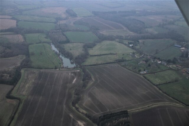
Black Hill, located in Lincolnshire, England, is a prominent hill that stands at an elevation of approximately 168 meters (551 feet) above sea level. It is situated near the village of Ingham, about 13 kilometers (8 miles) north of the city of Lincoln. The hill is part of the Lincolnshire Wolds, an Area of Outstanding Natural Beauty.

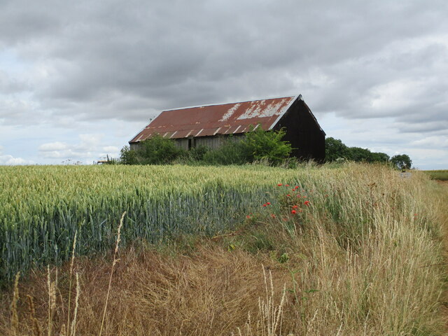
Black Hill is characterized by its distinctive dark appearance, which is due to the presence of ironstone in the soil. The hill is covered in heather and grass, creating a picturesque landscape that attracts hikers and nature enthusiasts. From the summit of Black Hill, visitors are rewarded with panoramic views of the surrounding countryside, including the nearby villages, farmland, and rolling hills.

The area around Black Hill is rich in history, with evidence of human habitation dating back thousands of years. Archaeological finds, such as Iron Age burial mounds and Roman pottery, have been discovered in the vicinity of the hill. The hill also played a role during World War II, when it was used as a bombing range by the Royal Air Force.

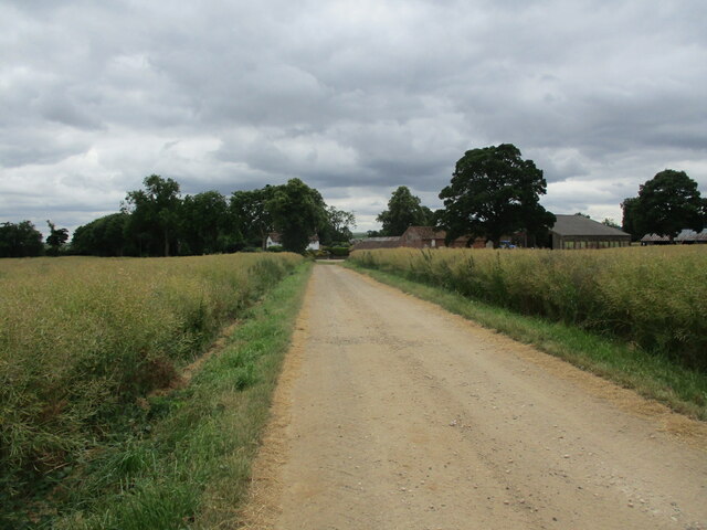
Today, Black Hill offers a tranquil escape from the bustling city life, with various walking trails and paths that allow visitors to explore the natural beauty of the area. It is a popular destination for outdoor activities, including hiking, birdwatching, and photography. The nearby villages provide amenities such as parking, picnic areas, and information boards to enhance the visitor experience.

If you have any feedback on the listing, please let us know in the comments section below.
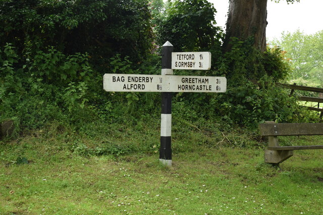
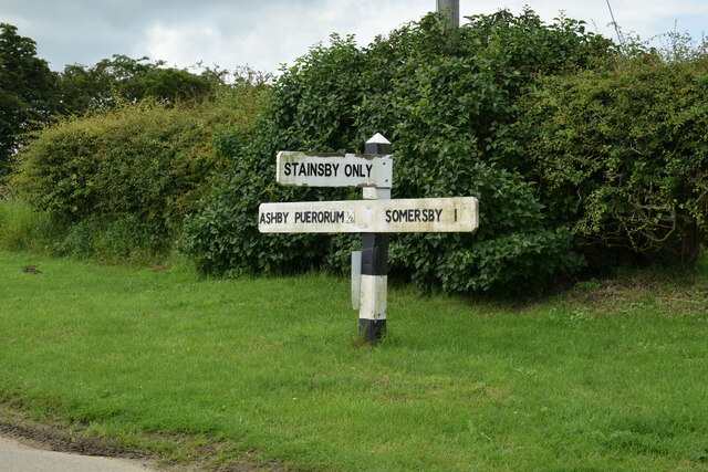
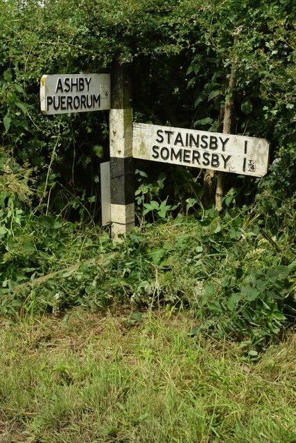
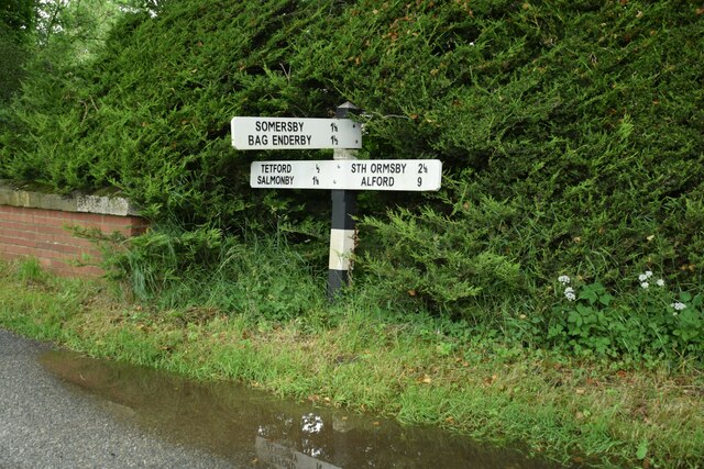
Black Hill Images

Images are sourced within 2km of 53.24286/-0.00734369 or Grid Reference TF3373. Thanks to Geograph Open Source API. All images are credited.

Direction Sign – Signpost on Bridge Road, Somersby Located on the south side of the T junction on Bridge Road in Somersby, Greetham with Somersby parish. 3 arms and no finial. See also <a title="https://www.geograph.org.uk/photo/6680557" href="https://www.geograph.org.uk/photo/6680557">Link</a>.

Milestone Society National ID: LI_TF3472
Direction Sign – Signpost on Bridge Road, Somersby
Located on the south side of the T junction on Bridge Road in Somersby, Greetham with Somersby parish. 3 arms and no finial. See also Link. Milestone Society National ID: LI_TF3472
Direction Sign – Signpost near Stainsby House in Greetham with Somersby parish Located on the northwest side of T junction northwest of Stainsby House in Greetham with Somersby parish. 3 arms and no finial. See also <a title="https://www.geograph.org.uk/photo/6038852" href="https://www.geograph.org.uk/photo/6038852">Link</a>.

Milestone Society National ID: LI_TF3371
Direction Sign – Signpost near Stainsby House in Greetham with Somersby parish
Located on the northwest side of T junction northwest of Stainsby House in Greetham with Somersby parish. 3 arms and no finial. See also Link. Milestone Society National ID: LI_TF3371
Direction Sign – Signpost near Ashby Puerorum in Greetham with Somersby parish Located on the north side of a T junction north of Ashby Puerorum, Greetham with Somersby parish. 2 arms and no finial.

Milestone Society National ID: LI_TF3271
Direction Sign – Signpost near Ashby Puerorum in Greetham with Somersby parish
Located on the north side of a T junction north of Ashby Puerorum, Greetham with Somersby parish. 2 arms and no finial. Milestone Society National ID: LI_TF3271
Direction Sign – Signpost at the junction of West Road and North Road in Tetford Located on the southeast side of the junction of West Road and North Road, in Tetford parish. 3 arms and no finial.

Milestone Society National ID: LI_TF3374
Direction Sign – Signpost at the junction of West Road and North Road in Tetford
Located on the southeast side of the junction of West Road and North Road, in Tetford parish. 3 arms and no finial. Milestone Society National ID: LI_TF3374
Direction Sign – Signpost on South Road in Tetford Located on the north side of the T junction of South Road and Harden's Lane in Tetford parish. 3 arms and no finial.

Milestone Society National ID: LI_TF3374A
Direction Sign – Signpost on South Road in Tetford
Located on the north side of the T junction of South Road and Harden's Lane in Tetford parish. 3 arms and no finial. Milestone Society National ID: LI_TF3374A
Somersby: aerial 2022
Bridleway approaching Somersby Looking towards Somersby House Farm.
Bridleway approaching Somersby
Looking towards Somersby House Farm.
Shed at Wardenhill Farm
Somersby House Farm
Somersby House Farm
Tree on a bend by Somersby House Farm
Farm track and bridleway near Somersby
Hay bale by a plantation near Somersby
Hay bales and The Broom The Broom is a small wooded area.
Hay bales and The Broom
The Broom is a small wooded area.
Bridleway to Somersby
Bend in a bridleway near Warden Hill
Wneat field and The Broom
Track to Wardenhill Farm
Wardenhill Farm
Wardenhill Farm
Show me another place!

Black Hill is located at Grid Ref: TF3373 (Lat: 53.24286, Lng: -0.00734369)

Administrative County: Lincolnshire

District: East Lindsey

Police Authority: Lincolnshire

What 3 Words

///kept.alongside.spurring. Near Burwell, Lincolnshire

Related Wikis

Salmonby

Salmonby is a village in the civil parish of Tetford, in the East Lindsey district of Lincolnshire, England. It is situated 5.5 miles (8.9 km) north-east...

Tetford

Tetford is a village and civil parish in the East Lindsey district of Lincolnshire, England. == History == Tetford is listed as "Tesforde" in the Domesday...

Somersby, Lincolnshire

Somersby is a village in the civil parish of Greetham with Somersby, in the East Lindsey district of Lincolnshire, England. It is situated 6 miles (9.7...

Somersby Grange

Somersby Grange is a Grade I listed Georgian country house in Somersby, Lincolnshire.The house was built in 1722 for Robert Burton, the local lord of the...

Greetham with Somersby

Greetham with Somersby is a civil parish in the East Lindsey district of Lincolnshire, England. It is situated approximately 3 miles (5 km) north-east...

Ashby Puerorum

Ashby Puerorum is a small village and former civil parish, now in the parish of Greetham with Somersby, in the East Lindsey district of Lincolnshire, England...

Bag Enderby

Bag Enderby is a village and former civil parish, now in the parish of Greetham with Somersby, in the East Lindsey district of Lincolnshire, England. It...

East Lindsey

East Lindsey is a local government district in Lincolnshire, England. Its council is based in Horncastle and the largest town is Skegness. Other towns...

Related Videos

46. Tetford & Somersby, Lincolnshire, March 2022

A relatively gently 6 mile walk in the Lincolnshire Wolds. We start from the village of Tetford (parking by the primary school and ...

I feel thin… sort of stretched, like butter scraped over too much bread.

Bilbo Baggins... I feel thin… sort of stretched, like butter scraped over too much bread. Now, lets say, hypothetically, that ...

Lincolnshire : The Everesting Challenge

Early, very early Saturday 27th March I arrived at Tetford Hill, Lincolnshire for my first attempt at the Everesting Challenge.

Tetford Hill - Simon Warren Cycling Climbs of the Midlands

Probably the hardest climb in Lincolnshire... - more information here: https://wheelygood.info/ Strava Segment: ...

Nearby Amenities

Located within 500m of 53.24286,-0.00734369
Black Hill
Place: locality
Source: Bing
Lat/Long: 53.2436497/-0.0028594
Place: farm
Source: Bing
Lat/Long: 53.2431092/-0.0123033
Archaeological Site: tumulus
Description: Bronze Age Long Barrow
Historic: archaeological_site
Lat/Long: 53.2391396/-0.0056025
Generator Method: photovoltaic
Generator Output Electricity: yes
Generator Source: solar
Generator Type: solar_photovoltaic_panel
Location: ground
Power: generator
Lat/Long: 53.2472917/-0.0085435
Generator Method: photovoltaic
Generator Output Electricity: yes
Generator Source: solar
Generator Type: solar_photovoltaic_panel
Location: roof
Power: generator
Lat/Long: 53.2464759/-0.0114982
The data included in this document is from www.openstreetmap.org. The data is made available under ODbL.

Have you been to Black Hill?

Leave your review of Black Hill below (or comments, questions and feedback).