Essington

Settlement in Staffordshire South Staffordshire

England

Essington

The Why Not at Springhill
The Why Not at Springhill Credit: John Firth

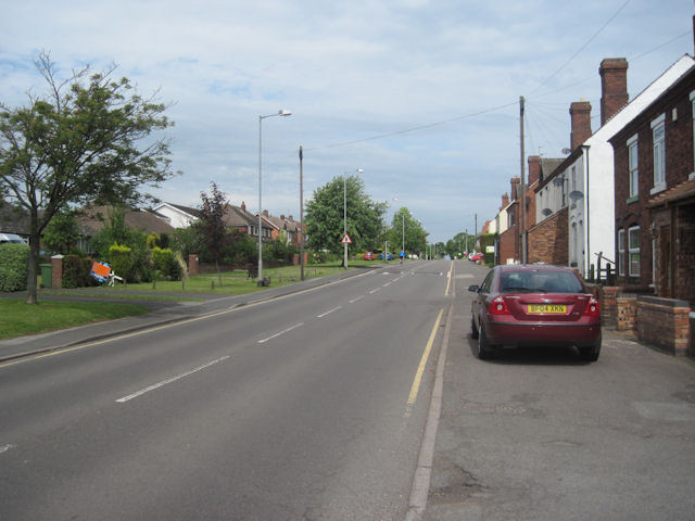
Essington is a small village located in the county of Staffordshire, England. Situated approximately 9 miles north-west of Wolverhampton, it falls within the district of South Staffordshire. With a population of around 4,500 residents, Essington has a close-knit community feel.

The village is known for its rich history and heritage, dating back to Roman times when it was a settlement on the ancient Watling Street road. Today, remnants of this history can still be seen in the form of Roman coins and pottery that have been discovered in the area.

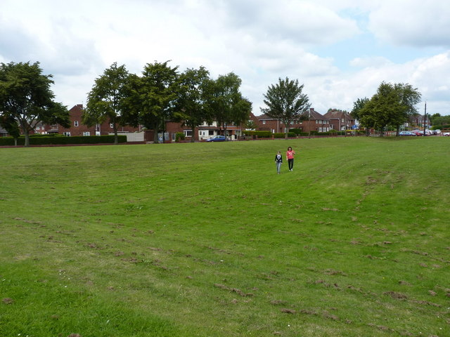
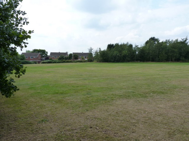
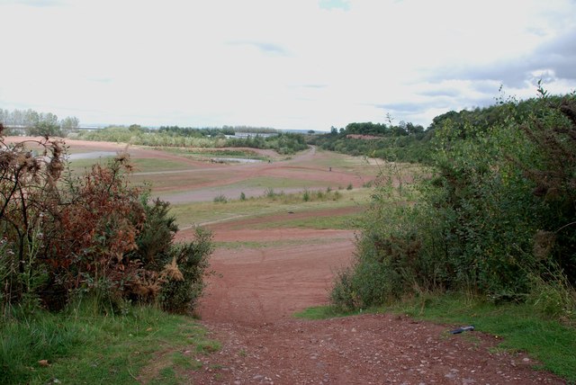
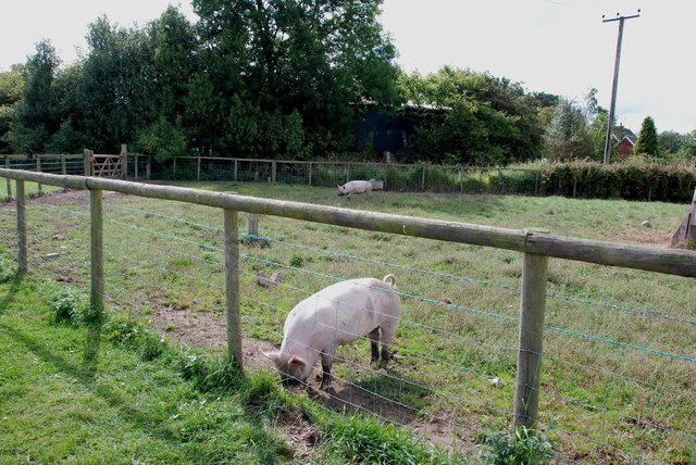
Essington is surrounded by beautiful countryside, offering residents and visitors plenty of opportunities for outdoor activities. The nearby Cannock Chase, an Area of Outstanding Natural Beauty, provides stunning landscapes and woodland trails for walking, cycling, and horse riding.

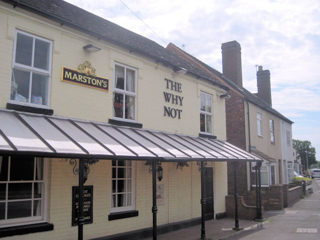
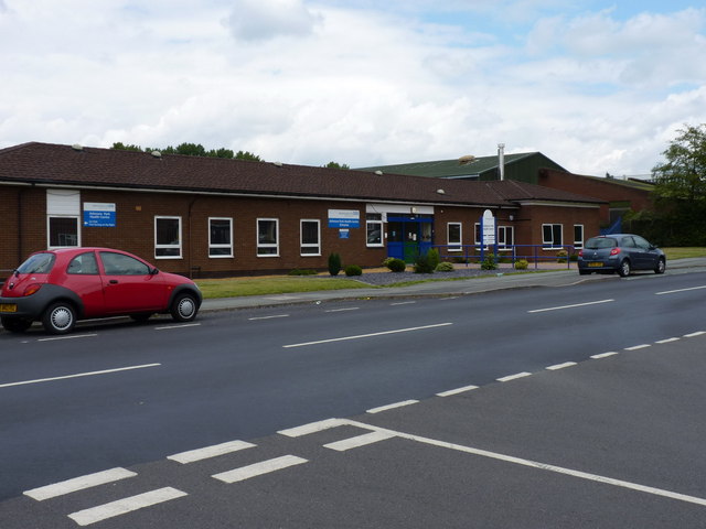
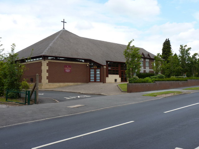
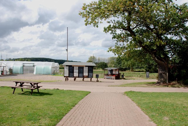
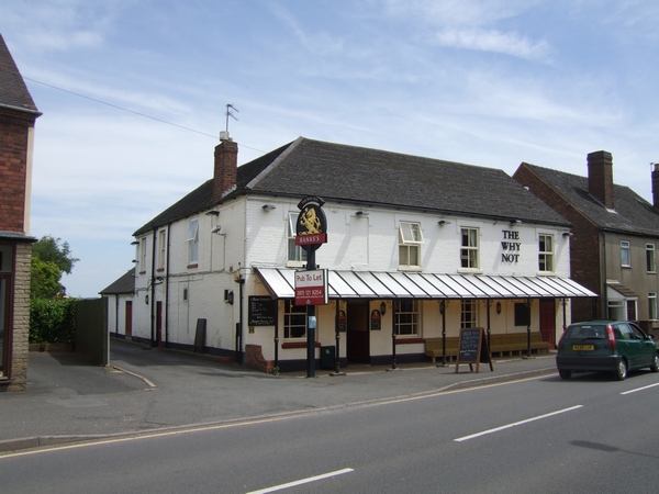
The village boasts a range of amenities, including a primary school, a community center, a local pub, and a few shops for everyday needs. For more extensive shopping and entertainment options, residents can easily access nearby towns and cities such as Wolverhampton and Cannock.

Transport links in Essington are convenient, with the M6 motorway just a short drive away, providing easy access to major cities like Birmingham and Manchester. The village also benefits from regular bus services connecting it to neighboring areas.

Overall, Essington offers a peaceful and picturesque place to live, with its historical significance, natural beauty, and friendly community making it an attractive location for both residents and visitors.

If you have any feedback on the listing, please let us know in the comments section below.
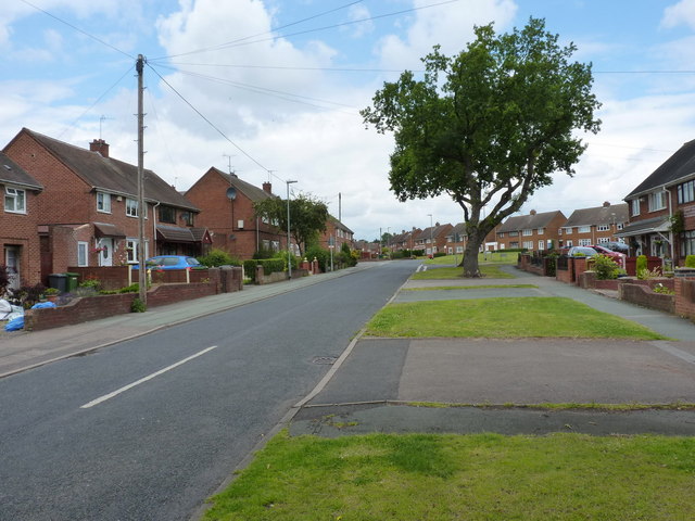
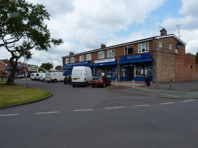
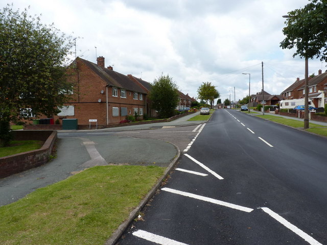
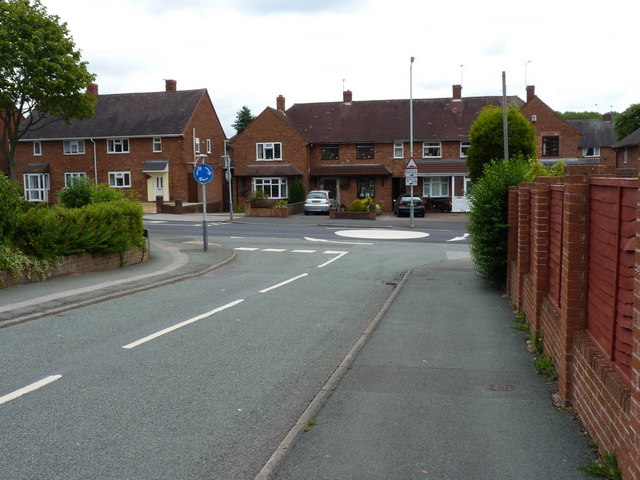
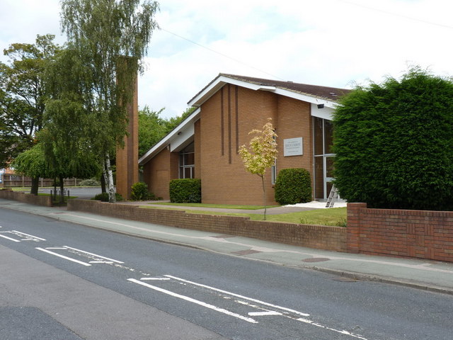
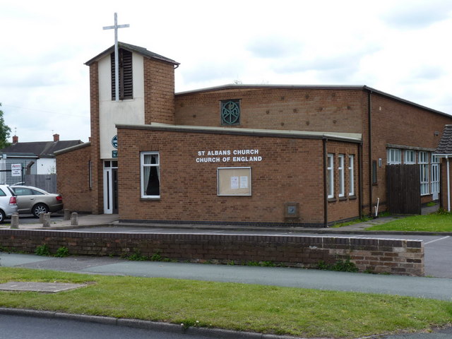
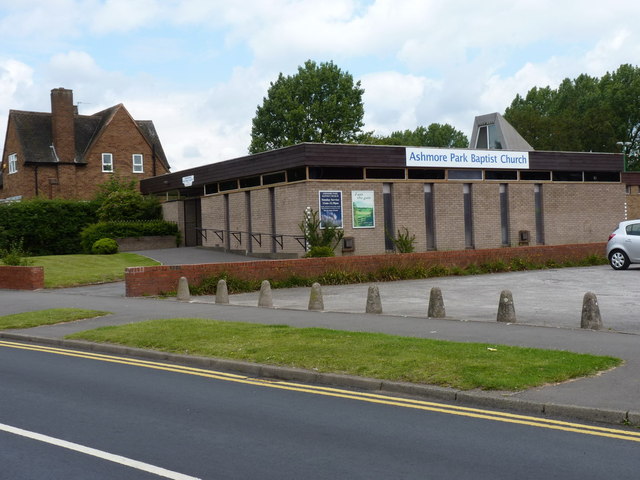
Essington Images

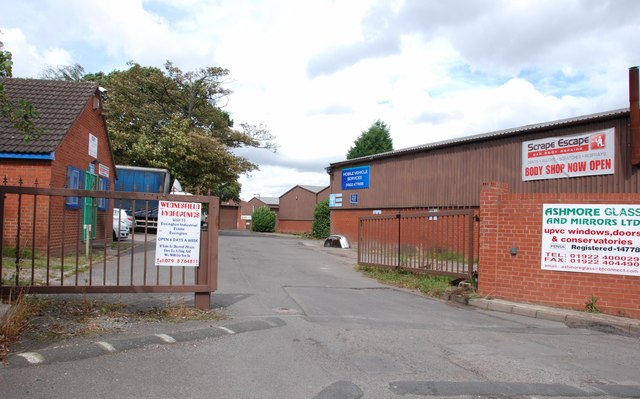
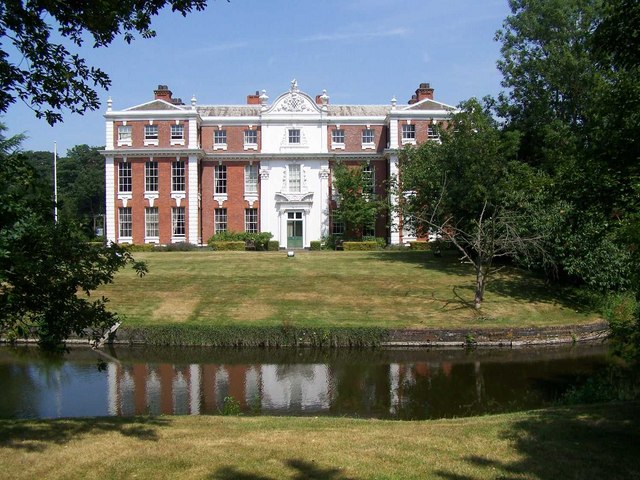
Images are sourced within 2km of 52.627489/-2.0591398 or Grid Reference SJ9603. Thanks to Geograph Open Source API. All images are credited.

The Why Not at Springhill
B4210 looking NW from The Why Not at Springhill
Ashmore Park Health Centre
The Corpus Christi Catholic Church, Ashmore Park Located at the southern end of Ashmore Avenue, at the junction with Griffiths Drive
The Corpus Christi Catholic Church, Ashmore Park
Located at the southern end of Ashmore Avenue, at the junction with Griffiths Drive
Ashmore Avenue One of the major roads through the Ashmore Park estate
Ashmore Avenue
One of the major roads through the Ashmore Park estate
Parade of shops - Higgs Road A small shopping development within the Ashmore Park estate.
Parade of shops - Higgs Road
A small shopping development within the Ashmore Park estate.
Griffiths Drive and Acorn Road, Ashmore Park area
Thornley Road joins Griffiths Drive, Ashmore Park
The church of Jesus Christ of the Latter Day Saints, Linthouse Lane
St Alban's C of E Church, Griffiths Drive, Ashmore Park
Baptist Church, Griffiths Drive, Ashmore Park
Junction of Griffiths Drive and Barnard Road, Ashmore Park
The moat of Ashmore Park Farm There's very little left of the moat, apart from this slightly depressed area of grass (where the two girls are walking) but it represents the remains of a moated medieval farm settlement, which also had a fishpond just outside the moat. A later (19th Century) farm building just to the south was demolished in the 1950s, at roughly the time that the Ashmore Park estate was being built.
The moat of Ashmore Park Farm
There's very little left of the moat, apart from this slightly depressed area of grass (where the two girls are walking) but it represents the remains of a moated medieval farm settlement, which also had a fishpond just outside the moat. A later (19th Century) farm building just to the south was demolished in the 1950s, at roughly the time that the Ashmore Park estate was being built.
Playing fields off Sneyd Lane A small open space off Sneyd Lane, surrounded by housing on its western, southern and eastern boundaries.
Playing fields off Sneyd Lane
A small open space off Sneyd Lane, surrounded by housing on its western, southern and eastern boundaries.
Old Gravel Pit off Moseley Road This old gravel pit is now used by locals to ride their scrambler bikes.
Old Gravel Pit off Moseley Road
This old gravel pit is now used by locals to ride their scrambler bikes.
Pigs at Essington Pick your Own and Farm Shop How long before these pigs are on the counter for sale.
Pigs at Essington Pick your Own and Farm Shop
How long before these pigs are on the counter for sale.
Price Board for Pick your Own, Essington Pick your Own and Farm Shop This farm shop is a very well run establishment, with butchery dept. fruit and veg. restaurant,  as well as pick your own fruit and veg, there is also a maize maze at this time of year.
Price Board for Pick your Own, Essington Pick your Own and Farm Shop
This farm shop is a very well run establishment, with butchery dept. fruit and veg. restaurant, as well as pick your own fruit and veg, there is also a maize maze at this time of year.
Entrance to Essington Industrial Estate off the B4156
Show me another place!

Essington is located at Grid Ref: SJ9603 (Lat: 52.627489, Lng: -2.0591398)

Administrative County: Staffordshire

District: South Staffordshire

Police Authority: Staffordshire

What 3 Words

///inserting.staples.swimsuits. Near Essington, Staffordshire

Nearby Locations

Essington Essington

Related Wikis

Essington

Essington is a village and civil parish in South Staffordshire, England, located near the city of Wolverhampton and towns of Walsall, Bloxwich, Cannock...

Essington Hall Farmhouse

Essington Hall Farmhouse is a grade II listed building in Essington, Staffordshire. == See also == Listed buildings in Essington == References ==

Wednesfield North (ward)

Wednesfield North is a ward of Wolverhampton City Council, West Midlands. As the name suggests, it covers the northern parts of the town of Wednesfield...

Hilton Park services

Hilton Park services is a motorway service station, between junctions 10a and 11 of the M6 motorway in Staffordshire, England. The nearest city is Wolverhampton...

Coppice Performing Arts School

Coppice Performing Arts School is an 11–18 mixed secondary school and sixth form with academy status in Wednesfield, Wolverhampton, West Midlands, England...

Springhill, South Staffordshire

Springhill is a hamlet about a mile from Essington village, in the civil parish of Essington, in the South Staffordshire district, in the county of Staffordshire...

Hilton Hall

Hilton Hall is an 18th-century mansion house now in use as an Office and Business Centre at Hilton, near Wolverhampton, in Staffordshire. It is a Grade...

Sneyd Comprehensive School

Sneyd Comprehensive School was a secondary school located in Bloxwich, West Midlands, England. The building of the school started in 1978, to serve the...

Nearby Amenities

Located within 500m of 52.627489,-2.0591398
Mini Roundabout
Direction: clockwise
Lat/Long: 52.6311251/-2.0589789
Bus Stop
Hill Street
Bus: yes
Naptan AtcoCode: 3800C602400
Naptan Bearing: NE
Naptan CommonName: Hill Street
Naptan Indicator: Adj
Naptan Landmark: Hill Street
Naptan Street: Hawthorne Road Link
Naptan Verified: no
Public Transport: platform
Source: naptan_import
Lat/Long: 52.6279533/-2.0589192
Bus Stop
Hill Street
Bus: yes
Naptan AtcoCode: 3800C602401
Naptan Bearing: SW
Naptan CommonName: Hill Street
Naptan Indicator: Opp
Naptan Landmark: Hill Street
Naptan Street: Wolverhampton Road
Naptan Verified: no
Public Transport: platform
Source: naptan_import
Lat/Long: 52.6277107/-2.0586529
Bus Stop
New Street
Bench: no
Bin: no
Bus: yes
Mapillary: 581799899452477
Naptan AtcoCode: 3800C602800
Naptan Bearing: N
Naptan CommonName: New Street
Naptan Indicator: Opp
Naptan Landmark: New Street
Naptan Street: Wolverhampton Road
Naptan Verified: no
Public Transport: platform
Shelter: no
Source: naptan_import
Survey Date: 2020-09-08
Lat/Long: 52.6258487/-2.0609256
Bus Stop
New Street
Bus: yes
Naptan AtcoCode: 3800C602801
Naptan Bearing: SW
Naptan CommonName: New Street
Naptan Indicator: Adj
Naptan Landmark: New Street
Naptan Street: Wolverhampton Road
Naptan Verified: no
Public Transport: platform
Source: naptan_import
Lat/Long: 52.6257098/-2.0608125
Bus Stop
St John's Church
Bus: yes
Naptan AtcoCode: 3800C618901
Naptan Bearing: NE
Naptan CommonName: St John's Church
Naptan Indicator: Adj
Naptan Landmark: St John's Church
Naptan Street: Wolverhampton Rd
Naptan Verified: no
Public Transport: platform
Source: naptan_import
Lat/Long: 52.6274757/-2.0592824
Bus Stop
The Gables
Bus: yes
Naptan AtcoCode: 3800C620401
Naptan NaptanCode: stagagda
Naptan Verified: no
Public Transport: platform
Source: naptan
Lat/Long: 52.6300756/-2.0580503
Bus Stop
The Gables
Bus: yes
Naptan AtcoCode: 3800C620402
Naptan Bearing: N
Naptan CommonName: Motor Garage
Naptan Indicator: Opp
Naptan Landmark: Motor Garage
Naptan Street: Brownshore Lane
Naptan Verified: no
Public Transport: platform
Source: naptan_import
Lat/Long: 52.6302281/-2.0583313
Bus Stop
Essington Working Men's Club
Bus: yes
Naptan AtcoCode: 3800C621901
Naptan Bearing: SE
Naptan CommonName: Essington Working Men's Club
Naptan Indicator: Adj
Naptan Street: High Hill
Naptan Verified: no
Public Transport: platform
Shelter: no
Source: naptan_import
Lat/Long: 52.6245547/-2.0597862
Bus Stop
Buttermere Drive
Bus: yes
Naptan AtcoCode: 3800C622001
Naptan Bearing: NW
Naptan CommonName: Buttermere Drive
Naptan Indicator: Opp
Naptan Street: High Hill
Naptan Verified: no
Public Transport: platform
Source: naptan_import
Lat/Long: 52.6239284/-2.0575055
Bus Stop
Buttermere Drive
Bus: yes
Naptan AtcoCode: 3800C622002
Naptan Bearing: SE
Naptan CommonName: Buttermere Drive
Naptan Indicator: Adj
Naptan Street: High Hill
Naptan Verified: no
Public Transport: platform
Source: naptan_import
Lat/Long: 52.6238818/-2.0570671
Bus Stop
St Johns Primary School
Bus: yes
Naptan AtcoCode: 3800C691001
Naptan Bearing: NE
Naptan CommonName: St Johns Primary School
Naptan Indicator: Adj
Naptan Landmark: St Johns Primary School
Naptan Street: Hobnock Rd
Naptan Verified: no
Public Transport: platform
Source: naptan_import
Lat/Long: 52.631658/-2.0573875
Bus Stop
St Johns Primary School
Bus: yes
Naptan AtcoCode: 3800C691002
Naptan Bearing: SW
Naptan CommonName: St Johns Primary School
Naptan Indicator: Opp
Naptan Landmark: St Johns Primary Sch
Naptan Street: Hobnock Rd
Naptan Verified: no
Public Transport: platform
Source: naptan_import
Lat/Long: 52.6315951/-2.0572988
Essington
Place: village
Source: OS 1:25k
Wikidata: Q2266985
Lat/Long: 52.6304136/-2.0601149
Crossing
Crossing: uncontrolled
Lat/Long: 52.631459/-2.0579498
Telephone
Bus stop Phone Box
Booth: KX100
Covered: booth
Lat/Long: 52.6280692/-2.0587123
Post Box
Location: In small walk-way
Lat/Long: 52.6269778/-2.0528549
Post Box
Note: in hedgerow
Lat/Long: 52.625063/-2.0612422
Pharmacy
Village Phamacy
Healthcare: pharmacy
Lat/Long: 52.6263402/-2.060209
Spar
Brand: Spar
Brand Wikidata: Q610492
Brand Wikipedia: en:SPAR (retailer)
Shop: convenience
Lat/Long: 52.6295344/-2.0576233
Parking
Lat/Long: 52.6312096/-2.0577387
Pub
Essington Working Mens Club
Addr City: Sutton Coldfield
Addr Housenumber: 138
Addr Postcode: WV11 2DW
Addr Street: High Hill
Fhrs Id: 1257973
Source Addr: FHRS Open Data
Lat/Long: 52.6246789/-2.0594898
Chi Rooms Facials Nails etc
Shop: convenience
Lat/Long: 52.6251853/-2.0610482
Pub
The Minerva
Addr City: Sutton Coldfield
Addr Postcode: WV11 2BX
Addr Street: Wolverhampton Road
Fhrs Id: 1257988
Source Addr: FHRS Open Data
Lat/Long: 52.6261036/-2.0602757
Parking
Lat/Long: 52.6259603/-2.0601899
Shop: hairdresser
Lat/Long: 52.6280044/-2.0613834
Hill Street Grocers & Off Licence
Addr City: Sutton Coldfield
Addr Housenumber: 65-67
Addr Postcode: WV11 2BS
Addr Street: Hill Street
Fhrs Id: 1257977
Shop: convenience
Source Addr: FHRS Open Data
Lat/Long: 52.6278709/-2.0615175
Post Box
Lat/Long: 52.6279157/-2.0619682
Parking
Lat/Long: 52.6238438/-2.0593186
Parking
Lat/Long: 52.623707/-2.0593616
Parking
Lat/Long: 52.6274123/-2.0598506
Parking
Lat/Long: 52.6279308/-2.0597557
Doctors
Healthcare: doctor
Lat/Long: 52.6310126/-2.057214
Pharmacy
Healthcare: pharmacy
Lat/Long: 52.6310842/-2.0572461
Parking
Lat/Long: 52.6273118/-2.0596715
Hairdresser
Shop: convenience
Lat/Long: 52.6296516/-2.057641
Essington Mobility Shop
Shop: convenience
Lat/Long: 52.6297102/-2.0576892
Parking
Lat/Long: 52.6296711/-2.0577107
Post Box
Lat/Long: 52.6312113/-2.058708
Mini Roundabout
Direction: clockwise
Lat/Long: 52.628233/-2.0561174
Post Office
Essington Post Office
Addr City: Sutton Coldfield
Addr Housename: Village News
Addr Housenumber: 69
Addr Postcode: WV11 2BS
Addr Street: Hill Street
Addr Village: Essington
Fixme: verify by survey
Opening Hours: Mo-Fr 06:30-17:30; Sa 06:30-14:00
Ref Pol Id: 69590
Source: pol_branch_list_2018-02
Lat/Long: 52.6279529/-2.0614316
Essington Harriers Running Club
Addr Housename: EHRC Club
Club: sport
Email: runners@essingtonharriers.co.uk
Opening Hours: Mo 18:30, We 18:30, Su 08:00
Operator: Essington Harriers Running Club (UKA Affiliated)
Sport: running
Website: https://essingtonharriers.co.uk
Lat/Long: 52.6250782/-2.0592158
Barrier: cycle_barrier
Lat/Long: 52.6255243/-2.0591673
Generator Method: photovoltaic
Generator Output Electricity: yes
Generator Source: solar
Generator Type: solar_photovoltaic_panel
Location: roof
Power: generator
Lat/Long: 52.6286218/-2.0595235
Generator Method: photovoltaic
Generator Output Electricity: yes
Generator Source: solar
Generator Type: solar_photovoltaic_panel
Location: roof
Power: generator
Lat/Long: 52.6240223/-2.0600009
Generator Method: photovoltaic
Generator Output Electricity: yes
Generator Source: solar
Generator Type: solar_photovoltaic_panel
Location: roof
Power: generator
Lat/Long: 52.6292413/-2.0598869
Generator Method: photovoltaic
Generator Output Electricity: yes
Generator Source: solar
Generator Type: solar_photovoltaic_panel
Location: roof
Power: generator
Lat/Long: 52.6264223/-2.0530567
Generator Method: photovoltaic
Generator Output Electricity: yes
Generator Source: solar
Generator Type: solar_photovoltaic_panel
Location: roof
Power: generator
Lat/Long: 52.6284818/-2.0549476
Generator Method: photovoltaic
Generator Output Electricity: yes
Generator Source: solar
Generator Type: solar_photovoltaic_panel
Location: roof
Power: generator
Lat/Long: 52.6305689/-2.0574313
Generator Method: photovoltaic
Generator Output Electricity: yes
Generator Source: solar
Generator Type: solar_photovoltaic_panel
Location: roof
Power: generator
Lat/Long: 52.6305819/-2.0573428
Generator Method: photovoltaic
Generator Output Electricity: yes
Generator Source: solar
Generator Type: solar_photovoltaic_panel
Location: roof
Power: generator
Lat/Long: 52.6298005/-2.0617148
Generator Method: photovoltaic
Generator Output Electricity: yes
Generator Source: solar
Generator Type: solar_photovoltaic_panel
Location: roof
Power: generator
Lat/Long: 52.6297875/-2.0619696
Generator Method: photovoltaic
Generator Output Electricity: yes
Generator Source: solar
Generator Type: solar_photovoltaic_panel
Location: roof
Power: generator
Lat/Long: 52.6272681/-2.057375
Generator Method: photovoltaic
Generator Output Electricity: yes
Generator Source: solar
Generator Type: solar_photovoltaic_panel
Location: roof
Power: generator
Lat/Long: 52.6283906/-2.0579436
Generator Method: photovoltaic
Generator Output Electricity: yes
Generator Source: solar
Generator Type: solar_photovoltaic_panel
Location: roof
Power: generator
Lat/Long: 52.6284558/-2.0577452
Generator Method: photovoltaic
Generator Output Electricity: yes
Generator Source: solar
Generator Type: solar_photovoltaic_panel
Location: roof
Power: generator
Lat/Long: 52.6282783/-2.0567742
Generator Method: photovoltaic
Generator Output Electricity: yes
Generator Source: solar
Generator Type: solar_photovoltaic_panel
Location: roof
Power: generator
Lat/Long: 52.6282474/-2.0566776
Generator Method: photovoltaic
Generator Output Electricity: yes
Generator Source: solar
Generator Type: solar_photovoltaic_panel
Location: roof
Power: generator
Lat/Long: 52.6280211/-2.0567635
Generator Method: photovoltaic
Generator Output Electricity: yes
Generator Source: solar
Generator Type: solar_photovoltaic_panel
Location: roof
Power: generator
Lat/Long: 52.6276629/-2.0573965
Generator Method: photovoltaic
Generator Output Electricity: yes
Generator Source: solar
Generator Type: solar_photovoltaic_panel
Location: roof
Power: generator
Lat/Long: 52.6278469/-2.0578994
Generator Method: photovoltaic
Generator Output Electricity: yes
Generator Source: solar
Generator Type: solar_photovoltaic_panel
Location: roof
Power: generator
Lat/Long: 52.6288978/-2.057662
Generator Method: photovoltaic
Generator Output Electricity: yes
Generator Source: solar
Generator Type: solar_photovoltaic_panel
Location: roof
Power: generator
Lat/Long: 52.6271061/-2.0546901
Generator Method: photovoltaic
Generator Output Electricity: yes
Generator Source: solar
Generator Type: solar_photovoltaic_panel
Location: roof
Power: generator
Lat/Long: 52.6279673/-2.0544112
Generator Method: photovoltaic
Generator Output Electricity: yes
Generator Source: solar
Generator Type: solar_photovoltaic_panel
Location: roof
Power: generator
Lat/Long: 52.6280707/-2.0549852
Generator Method: photovoltaic
Generator Output Electricity: yes
Generator Source: solar
Generator Type: solar_photovoltaic_panel
Location: roof
Power: generator
Lat/Long: 52.6277964/-2.0518228
Generator Method: photovoltaic
Generator Output Electricity: yes
Generator Source: solar
Generator Type: solar_photovoltaic_panel
Location: roof
Power: generator
Lat/Long: 52.6286707/-2.0527804
Generator Method: photovoltaic
Generator Output Electricity: yes
Generator Source: solar
Generator Type: solar_photovoltaic_panel
Location: roof
Power: generator
Lat/Long: 52.6295929/-2.0601243
The data included in this document is from www.openstreetmap.org. The data is made available under ODbL.

Have you been to Essington?

Leave your review of Essington below (or comments, questions and feedback).