Estavarney

Settlement in Monmouthshire

Wales

Estavarney

Trostrey Court and Farm Viewed from over 500m away from Church Lane.
This large farm sits in a gentle side valley of the Usk. Its main businesses are dairy and poultry.
The owner is (2015) President of the Royal Welsh Show; see an article on him here; <span class="nowrap"><a title="http://www.southwalesargus.co.uk/news/features/13611591.First_Person__Usk_farmer_David_Morgan/" rel="nofollow ugc noopener" href="http://www.southwalesargus.co.uk/news/features/13611591.First_Person__Usk_farmer_David_Morgan/">Link</a><img style="margin-left:2px;" alt="External link" title="External link - shift click to open in new window" src="https://s1.geograph.org.uk/img/external.png" width="10" height="10"/></span>
Trostrey Court and Farm Credit: Jonathan Billinger

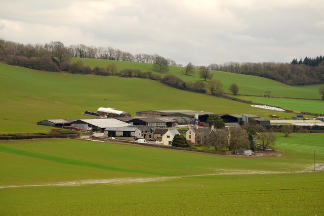
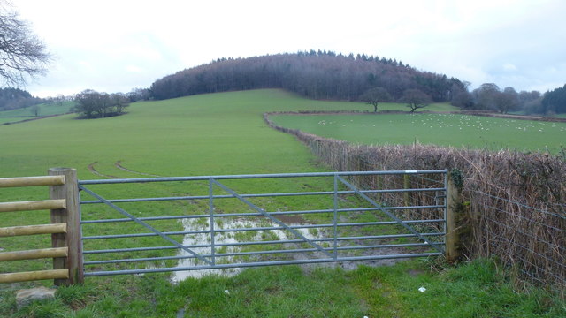
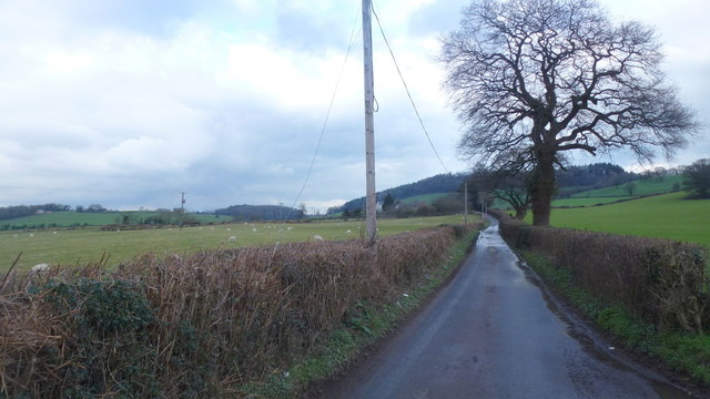
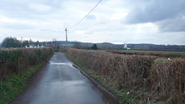
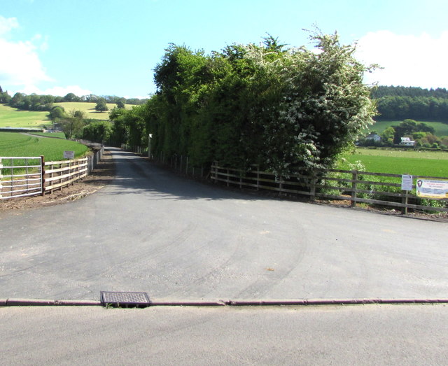
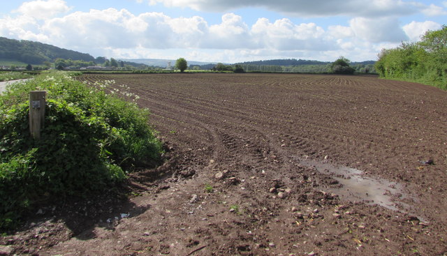
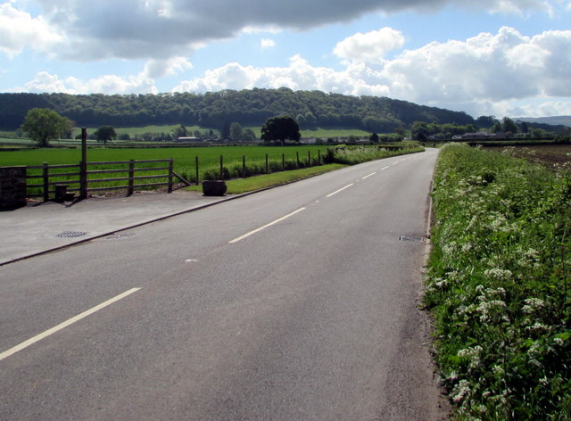
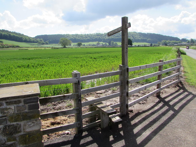
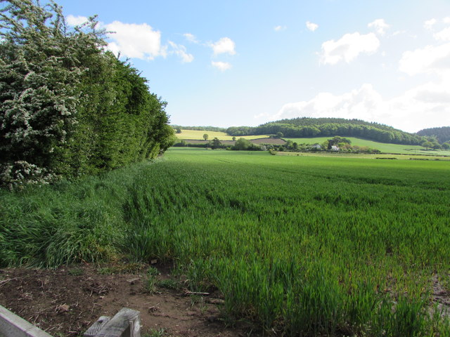
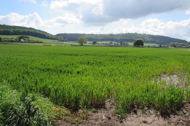
Estavarney is a small village located in Monmouthshire, Wales. Situated in the southeastern part of the county, it is nestled within the picturesque Usk Valley. The village is surrounded by rolling hills, lush green fields, and scenic woodlands, making it a haven for nature enthusiasts and hikers.

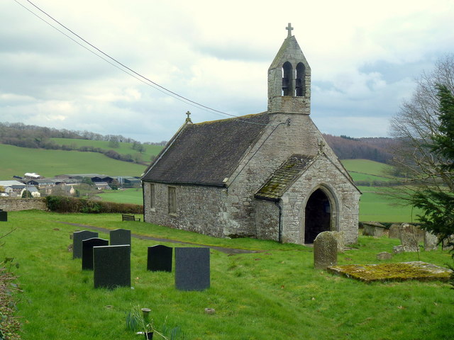
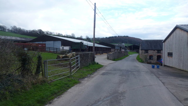
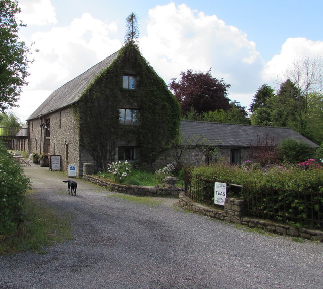
With a population of around 300 residents, Estavarney exudes a peaceful and close-knit community atmosphere. The village is known for its charming stone cottages and historic buildings, which reflect its rich heritage. The local church, St. Mary's, stands as a prominent landmark, dating back to the medieval period and boasting stunning architectural features.

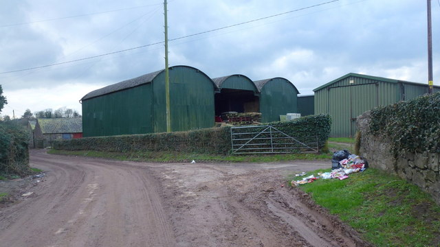
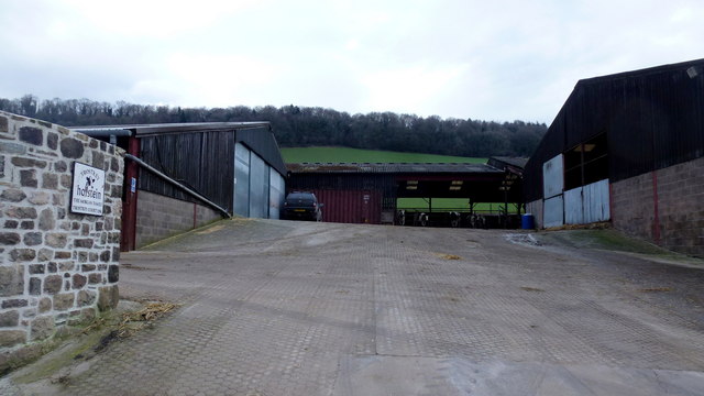
Economically, Estavarney relies primarily on agriculture, with many residents engaged in farming and livestock rearing. The village's fertile land and favorable climate contribute to the thriving agricultural sector. Additionally, there are a few small businesses and shops that cater to the needs of the local population.

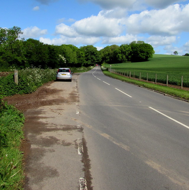
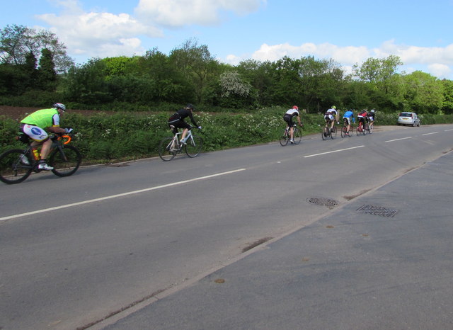
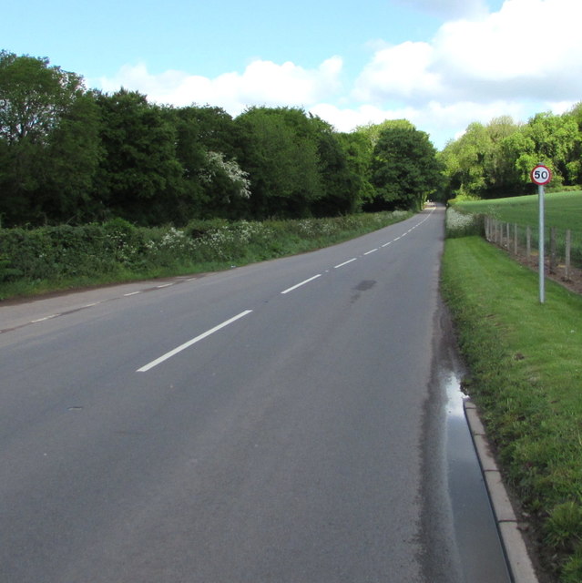
Despite its rural setting, Estavarney enjoys good connectivity to nearby towns and cities. The A40 road runs close to the village, providing convenient access to Monmouth, Newport, and Cardiff. Public transport options include regular bus services, linking Estavarney to the wider region.

The village offers a range of amenities to its residents, including a primary school, a community hall, and a local pub. The surrounding natural beauty also offers opportunities for outdoor activities such as walking, fishing, and bird watching.

Overall, Estavarney presents an idyllic countryside setting with its historic charm, friendly community, and stunning landscapes, making it an attractive place to live or visit.

If you have any feedback on the listing, please let us know in the comments section below.

Estavarney Images

Images are sourced within 2km of 51.724348/-2.939288 or Grid Reference SO3503. Thanks to Geograph Open Source API. All images are credited.

Trostrey Court and Farm Viewed from over 500m away from Church Lane.
This large farm sits in a gentle side valley of the Usk. Its main businesses are dairy and poultry.
The owner is (2015) President of the Royal Welsh Show; see an article on him here; <span class="nowrap"><a title="http://www.southwalesargus.co.uk/news/features/13611591.First_Person__Usk_farmer_David_Morgan/" rel="nofollow ugc noopener" href="http://www.southwalesargus.co.uk/news/features/13611591.First_Person__Usk_farmer_David_Morgan/">Link</a><img style="margin-left:2px;" alt="External link" title="External link - shift click to open in new window" src="https://s1.geograph.org.uk/img/external.png" width="10" height="10"/></span>
Trostrey Court and Farm
Viewed from over 500m away from Church Lane. This large farm sits in a gentle side valley of the Usk. Its main businesses are dairy and poultry. The owner is (2015) President of the Royal Welsh Show; see an article on him here; LinkExternal link
St. David's church, Trostrey A delightful spot on the hillside overlooking Trostrey Court, seen beyond.
Compare with Phil's photo from April 2008; <a href="https://www.geograph.org.uk/photo/764619">SO3504 : St David's church at Trostrey</a>.
St. David's church, Trostrey
A delightful spot on the hillside overlooking Trostrey Court, seen beyond. Compare with Phil's photo from April 2008; SO3504 : St David's church at Trostrey.
Upper Llancayo Farm Large farm with many buildings on both sides of the lane.
Upper Llancayo Farm
Large farm with many buildings on both sides of the lane.
Fields and wooded hill The wood is named Coed Shenkin Morris.
Fields and wooded hill
The wood is named Coed Shenkin Morris.
Road to Pantycolin and Trostrey Court Looking north, away from the Usk valley.
Road to Pantycolin and Trostrey Court
Looking north, away from the Usk valley.
Road to Llancayo Looking south with the Llancayo windmill over to the right.
Road to Llancayo
Looking south with the Llancayo windmill over to the right.
Trostrey Court Farm This large farm sits in a gentle side valley of the Usk. Its main businesses are dairy and poultry.
Trostrey Court Farm
This large farm sits in a gentle side valley of the Usk. Its main businesses are dairy and poultry.
Lane at Trostrey Court Farm This large farm sits in a gentle side valley of the Usk. Its main businesses are dairy and poultry.
Lane at Trostrey Court Farm
This large farm sits in a gentle side valley of the Usk. Its main businesses are dairy and poultry.
Craft Renaissance, Kemeys Commander, Monmouthshire Craft Renaissance (gallery, cafe & workshops) is set back from the west side of the B4598 in rural Monmouthshire.
Craft Renaissance, Kemeys Commander, Monmouthshire
Craft Renaissance (gallery, cafe & workshops) is set back from the west side of the B4598 in rural Monmouthshire.
Trostrey Court entrance drive, Monmouthshire From the east side of the B4598 northwest of Llancayo in rural Monmouthshire.
Trostrey Court entrance drive, Monmouthshire
From the east side of the B4598 northwest of Llancayo in rural Monmouthshire.
Brown field near Llancayo, Monmouthshire Located between the B4598 and the River Usk, viewed in mid May 2017.
Brown field near Llancayo, Monmouthshire
Located between the B4598 and the River Usk, viewed in mid May 2017.
Road towards Llancayo and Usk, Monmouthshire Looking to the southeast along the B4598.
Road towards Llancayo and Usk, Monmouthshire
Looking to the southeast along the B4598.
Stile and footpath signpost alongside the B4598 near Llancayo On the left here. <a title="https://www.geograph.org.uk/photo/5390498" href="https://www.geograph.org.uk/photo/5390498">Link</a>
Stile and footpath signpost alongside the B4598 near Llancayo
On the left here. Link
Track through a field near Llancayo, Monmouthshire Behind the camera, a footpath sign <a title="https://www.geograph.org.uk/photo/5390512" href="https://www.geograph.org.uk/photo/5390512">Link</a> points towards the faint track ahead on the left, past the bushes.
Track through a field near Llancayo, Monmouthshire
Behind the camera, a footpath sign Link points towards the faint track ahead on the left, past the bushes.
Mid May in rural Monmouthshire Viewed from the B4598 near Llancayo on May 14th 2017.
Mid May in rural Monmouthshire
Viewed from the B4598 near Llancayo on May 14th 2017.
B4598 layby in rural Monmouthshire Extending for 60 metres alongside the B4598 north of Llancayo.
B4598 layby in rural Monmouthshire
Extending for 60 metres alongside the B4598 north of Llancayo.
Sunday cyclists on the B4598 in rural Monmouthshire Heading towards Kemeys Commander are a few of many cyclists on the roads 
in this rural area between Usk and Abergavenny on a dry, bright Sunday in May 2017.
Sunday cyclists on the B4598 in rural Monmouthshire
Heading towards Kemeys Commander are a few of many cyclists on the roads in this rural area between Usk and Abergavenny on a dry, bright Sunday in May 2017.
Road from Llancayo towards Kemeys Commander, Monmouthshire Looking to the northwest along the B4598 past a 50mph speed limit sign.
Road from Llancayo towards Kemeys Commander, Monmouthshire
Looking to the northwest along the B4598 past a 50mph speed limit sign.
Show me another place!

Estavarney is located at Grid Ref: SO3503 (Lat: 51.724348, Lng: -2.939288)

Unitary Authority: Monmouthshire

Police Authority: Gwent

What 3 Words

///memory.fattest.incorrect. Near Usk, Monmouthshire

Related Wikis

Monkswood, Monmouthshire

Monkswood (Welsh: Coed y Mynach) is a village in Monmouthshire, south east Wales, United Kingdom. == Location == Monkswood is located two miles west of...

Battle of Pwll Melyn

The Battle of Pwll Melyn (also known as the Battle of Usk), was a battle between the Welsh and English on 5 May 1405, it was part of the Glyndŵr Rising...

Trostrey

Trostrey (Welsh: Trostre) is a small hamlet and parish in Monmouthshire, in southeast Wales located about 2+1⁄2 miles (4.0 km) north/northwest of Usk....

St David's Church, Trostrey

The Church of St David, Trostrey, Monmouthshire, Wales, is a parish church with its origins in the 14th century. Its founder may have been Geoffrey Marshall...

Church Farmhouse, Kemeys Commander

Church Farmhouse, Kemeys Commander, Monmouthshire is a former parsonage dating from the mid-16th century. The farmhouse and the attached barn are Grade...

Church of All Saints, Kemeys Commander

The Church of All Saints, Kemeys Commander, Monmouthshire, Wales, is a parish church with its origins in the 13th century. It is a Grade II* listed building...

Kemeys Commander

Kemeys Commander (Welsh: Cemais Comawndwr) is a village in Monmouthshire, in South East Wales. == Location == Kemeys Commander, 3 miles (4.8 km) north...

ROF Glascoed

ROF Glascoed (today BAE Systems Munitions Glascoed) was built as a UK government-owned, Royal Ordnance Factory (ROF). It was designed as one of 20 munitions...

Nearby Amenities

Located within 500m of 51.724348,-2.939288
Direction: 190
Generator Method: photovoltaic
Generator Output Electricity: yes
Generator Solar Modules: 14
Generator Source: solar
Generator Type: solar_photovoltaic_panel
Location: roof
Power: generator
Lat/Long: 51.7204108/-2.9409101
The data included in this document is from www.openstreetmap.org. The data is made available under ODbL.

Have you been to Estavarney?

Leave your review of Estavarney below (or comments, questions and feedback).