Essington
Civil Parish in Staffordshire South Staffordshire
England
Essington
Essington is a civil parish located in the South Staffordshire district of Staffordshire, England. It is situated approximately 11 miles northwest of the city of Wolverhampton and about 13 miles northeast of the city of Birmingham. The parish covers an area of about 5 square miles and has a population of around 4,000 residents.
The village of Essington has a rich history, with evidence of human habitation dating back to the Bronze Age. It was mentioned in the Domesday Book of 1086 and was predominantly an agricultural community until the Industrial Revolution when coal mining became the primary industry. The village played a significant role in the coal-mining industry of the region and had several collieries operating in the area.
Today, Essington is a quiet residential area with a mix of modern housing developments and older, traditional properties. The village has a range of amenities, including a primary school, a church, a community center, and a small number of shops and businesses. The surrounding countryside offers opportunities for outdoor activities such as walking and cycling.
Essington benefits from good transport links, with the M6 motorway passing to the east of the village, providing easy access to the nearby cities of Wolverhampton, Birmingham, and Stafford. The village also has a railway station, which is part of the West Coast Main Line, connecting it to major cities across the country.
Overall, Essington is a peaceful and picturesque village with a rich history, offering a pleasant rural environment for its residents while still being well-connected to larger urban centers.
If you have any feedback on the listing, please let us know in the comments section below.
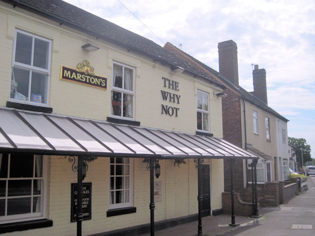
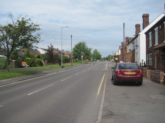
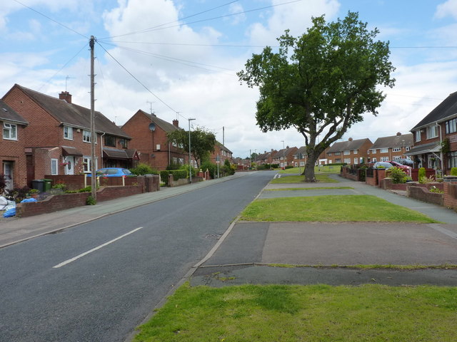
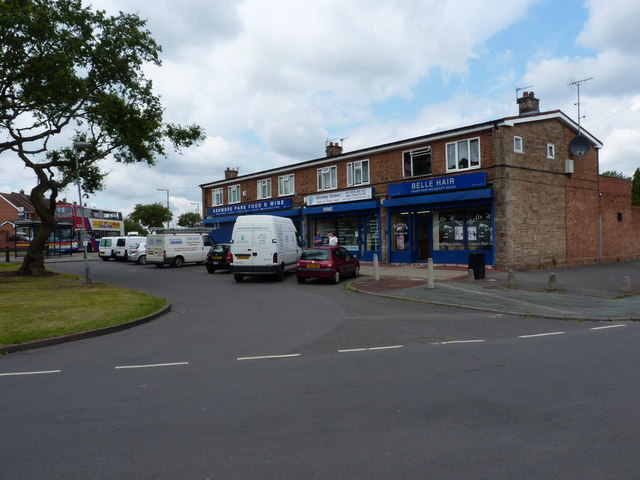
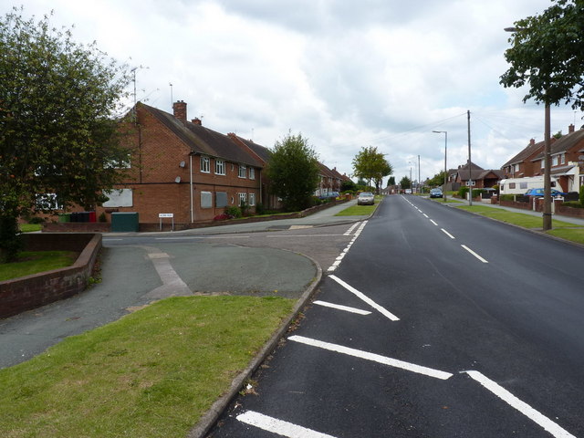
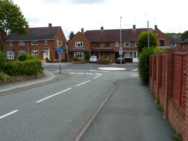
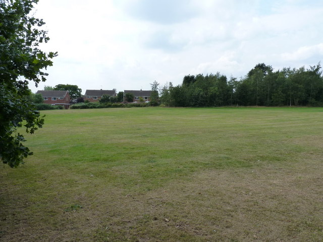
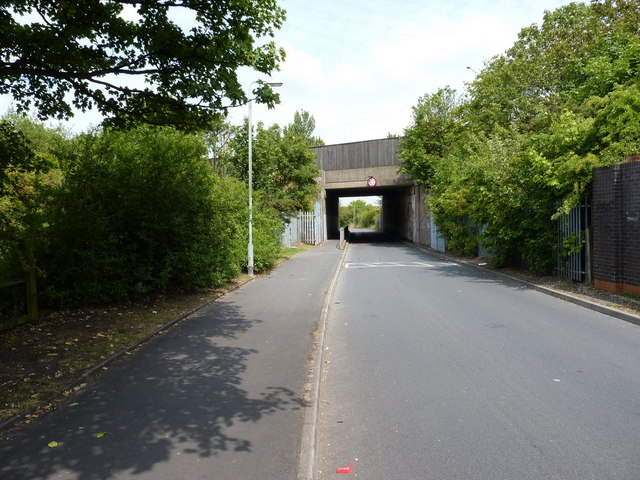
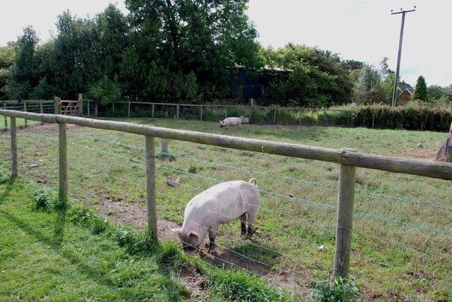
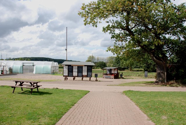
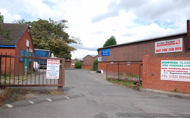
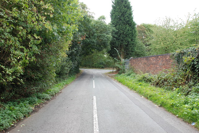
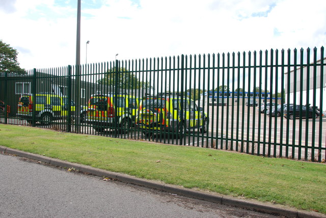
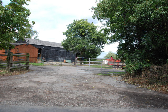
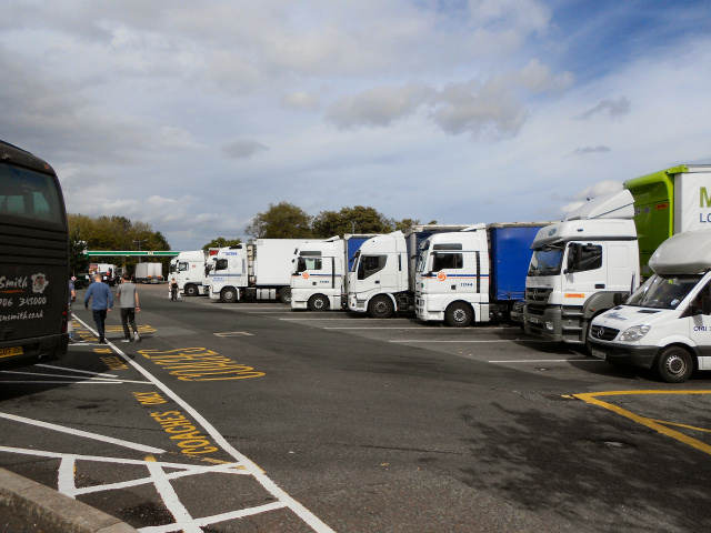
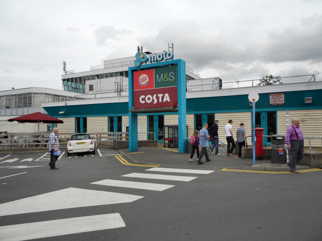
Essington Images
Images are sourced within 2km of 52.631621/-2.047411 or Grid Reference SJ9603. Thanks to Geograph Open Source API. All images are credited.

Essington is located at Grid Ref: SJ9603 (Lat: 52.631621, Lng: -2.047411)
Administrative County: Staffordshire
District: South Staffordshire
Police Authority: Staffordshire
What 3 Words
///dolly.fastening.kind. Near Essington, Staffordshire
Related Wikis

Essington
Essington is a village and civil parish in South Staffordshire, England, located near the city of Wolverhampton and towns of Walsall, Bloxwich, Cannock...
Springhill, South Staffordshire
Springhill is a hamlet about a mile from Essington village, in the civil parish of Essington, in the South Staffordshire district, in the county of Staffordshire...

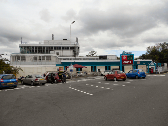
Hilton Park services
Hilton Park services is a motorway service station, between junctions 10a and 11 of the M6 motorway in Staffordshire, England. The nearest city is Wolverhampton...

Sneyd Comprehensive School
Sneyd Comprehensive School was a secondary school located in Bloxwich, West Midlands, England. The building of the school started in 1978, to serve the...
Nearby Amenities
Located within 500m of 52.631621,-2.047411Have you been to Essington?
Leave your review of Essington below (or comments, questions and feedback).