Dysons Osiers

Wood, Forest in Hertfordshire Broxbourne

England

Dysons Osiers

Jones Road This appears to be mapped as a public road up to a point some way behind the camera, when it becomes a public bridleway and private untarred road. However, it is gated at the end of this straight, the gates being open in this view. It is used as part of the 'Chain Walk' - a long distance walking route.
The road was mapped with the odd name of St. Jones's Road up to the 1930s.
Jones Road Credit: Robin Webster

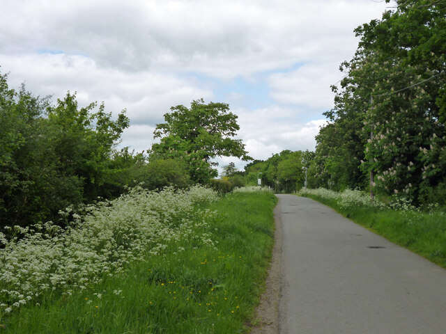
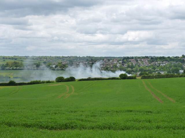
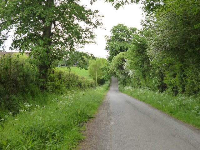
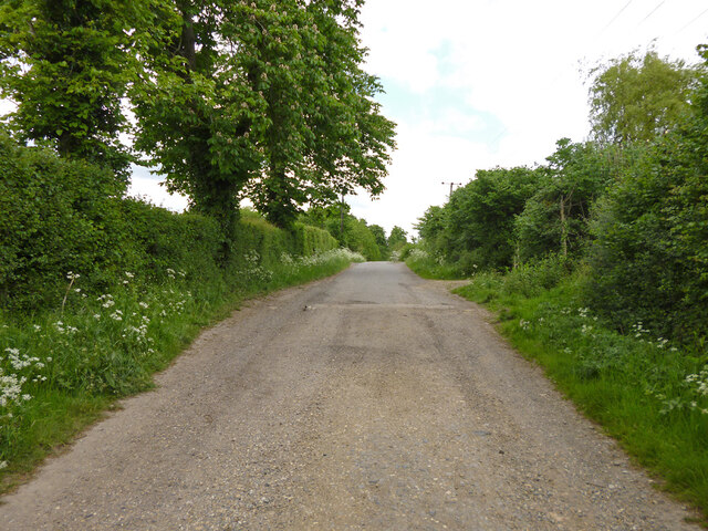
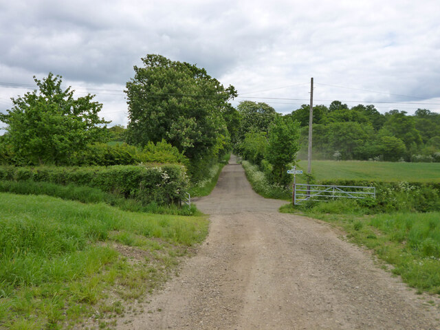
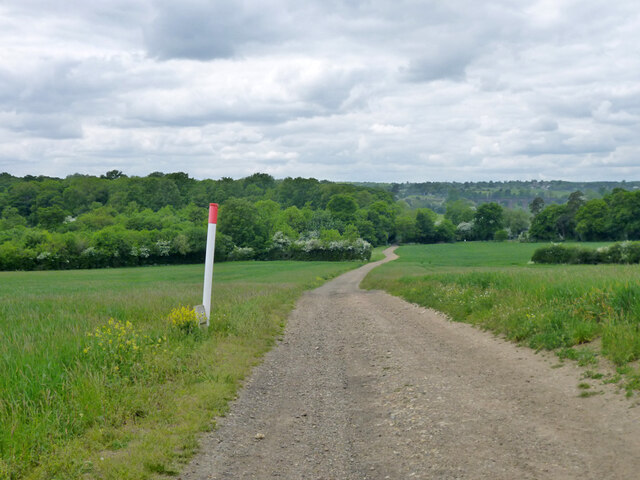
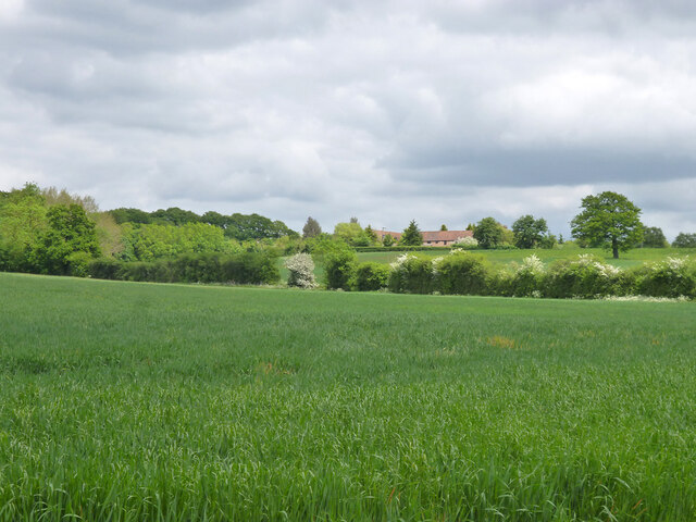
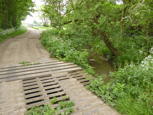
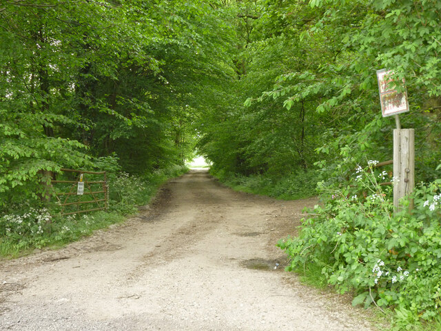
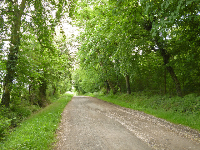
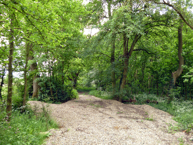
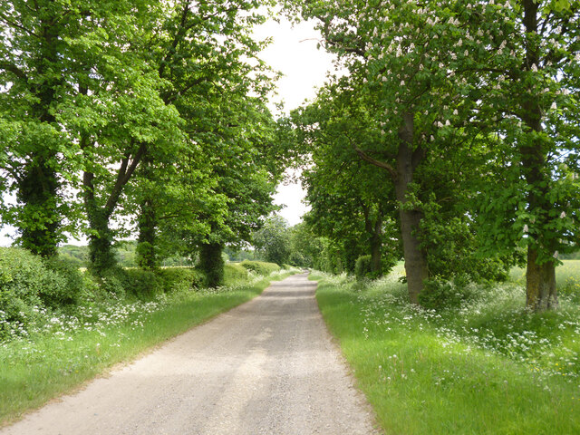
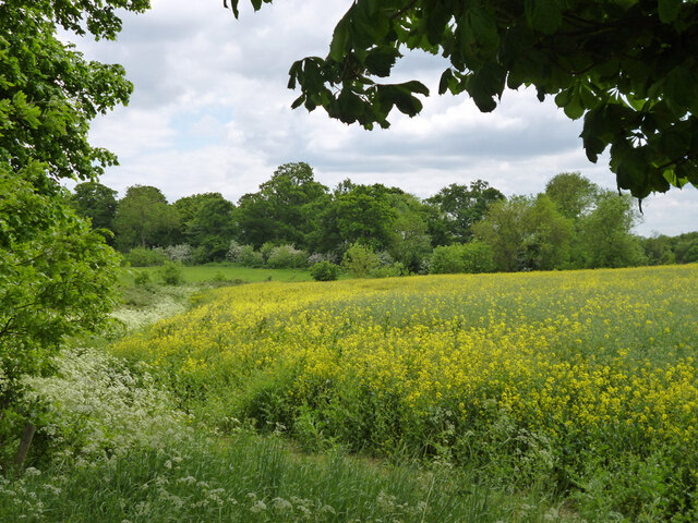
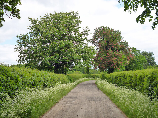
Dysons Osiers is a picturesque wood located in Hertfordshire, England. Nestled within a charming forest area, it offers visitors a tranquil escape from the hustle and bustle of everyday life. With its lush greenery, diverse wildlife, and serene atmosphere, Dysons Osiers is a popular destination for nature lovers and outdoor enthusiasts.

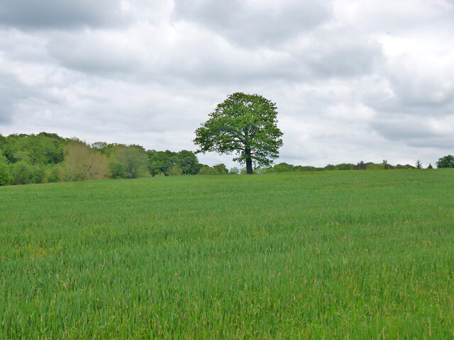
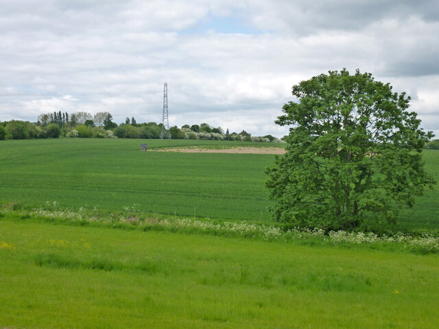
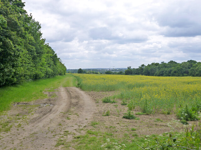
Covering an area of approximately 50 acres, the wood is primarily composed of various species of trees, including oak, ash, beech, and birch. These trees create a beautiful canopy, providing shade and shelter for the woodland floor below. A network of well-maintained trails winds through the wood, allowing visitors to explore its enchanting corners.

Dysons Osiers is home to a wide range of wildlife, making it a paradise for birdwatchers and animal enthusiasts. Visitors may spot various bird species, such as woodpeckers, owls, and songbirds, as well as small mammals like squirrels and rabbits.

The wood also boasts a rich history, with evidence of human activity dating back centuries. Ancient archaeological finds, including pottery and tools, have been discovered in the area, providing a glimpse into the past. Interpretive signs and information boards placed throughout the wood offer insights into its historical significance.

Whether it's a leisurely stroll, a peaceful picnic, or an opportunity to connect with nature, Dysons Osiers in Hertfordshire offers an idyllic setting for individuals and families seeking a retreat in the heart of the British countryside.

If you have any feedback on the listing, please let us know in the comments section below.

Dysons Osiers Images

Images are sourced within 2km of 51.694696/-0.085566711 or Grid Reference TL3201. Thanks to Geograph Open Source API. All images are credited.

Jones Road This appears to be mapped as a public road up to a point some way behind the camera, when it becomes a public bridleway and private untarred road. However, it is gated at the end of this straight, the gates being open in this view. It is used as part of the 'Chain Walk' - a long distance walking route.
The road was mapped with the odd name of St. Jones's Road up to the 1930s.
Jones Road
This appears to be mapped as a public road up to a point some way behind the camera, when it becomes a public bridleway and private untarred road. However, it is gated at the end of this straight, the gates being open in this view. It is used as part of the 'Chain Walk' - a long distance walking route. The road was mapped with the odd name of St. Jones's Road up to the 1930s.
Fire down below But it appears to be agricultural and monitored, so everything is all right, isn't it?
Fire down below
But it appears to be agricultural and monitored, so everything is all right, isn't it?
Burnt Farm Ride A private tarmac road as far as Burnt Farm, thereafter a well surfaced track. Public bridleway Cheshunt 17.
Burnt Farm Ride
A private tarmac road as far as Burnt Farm, thereafter a well surfaced track. Public bridleway Cheshunt 17.
Burnt Farm Ride The surface changes here, tarmac northwards, just 'mac' to the south.  Public bridleway Cheshunt 17.
Burnt Farm Ride
The surface changes here, tarmac northwards, just 'mac' to the south. Public bridleway Cheshunt 17.
Crossways south of Burnt Farm Burnt Farm Ride runs left and right, bridleway Cheshunt 17 to the left, bridleway Cheshunt 70 to the right. Straight on beyond the junction is bridleway Cheshunt 73. Viewed from footpath Cheshunt 59.
Crossways south of Burnt Farm
Burnt Farm Ride runs left and right, bridleway Cheshunt 17 to the left, bridleway Cheshunt 70 to the right. Straight on beyond the junction is bridleway Cheshunt 73. Viewed from footpath Cheshunt 59.
Farm track crosses gas pipeline The track is public footpath Cheshunt 59.
Farm track crosses gas pipeline
The track is public footpath Cheshunt 59.
Tree in field west of Burnt Farm
View over fields towards Burnt Farm
Bridge over Cuffley Brook A curious structure, looking like a cattle grid was incorporated in the bridge, and then there was a partial change of heart. Public footpath Cheshunt 59 crosses.
Bridge over Cuffley Brook
A curious structure, looking like a cattle grid was incorporated in the bridge, and then there was a partial change of heart. Public footpath Cheshunt 59 crosses.
Farmland north of Northaw Brook
Private track through Nursery Plantation
Barns at Burnt Farm
Barns at Burnt Farm
Bridleway Cheshunt 73 heads east A wood called Cattlins is on the right.
Bridleway Cheshunt 73 heads east
A wood called Cattlins is on the right.
Track into a wood called Cattlins At the eastern edge of the wood.
Track into a wood called Cattlins
At the eastern edge of the wood.
Field edge track by Dysons Osiers A wood called Cattlins is over to the right.
Field edge track by Dysons Osiers
A wood called Cattlins is over to the right.
Oldpark Ride Bridleway Cheshunt 73 towards Theobalds Manor.
Oldpark Ride
Bridleway Cheshunt 73 towards Theobalds Manor.
Farmland near Theobalds Manor
Oldpark Ride Bridleway Cheshunt 73 towards Theobalds Manor.
Oldpark Ride
Bridleway Cheshunt 73 towards Theobalds Manor.
Show me another place!

Dysons Osiers is located at Grid Ref: TL3201 (Lat: 51.694696, Lng: -0.085566711)

Administrative County: Hertfordshire

District: Broxbourne

Police Authority: Hertfordshire

What 3 Words

///towns.lungs.builds. Near Cuffley, Hertfordshire

Nearby Locations

Dysons Osiers

Related Wikis

The Paddocks

The Paddocks, in Crews Hill, Enfield, London, is a farmhouse that is grade II* listed with Historic England. It dates from the first half of the seventeenth...

Goffs Oak

Goffs Oak (Goff's Oak on Ordnance Survey maps) is a large village in the borough of Broxbourne in Hertfordshire in the United Kingdom. It lies between...

Crews Hill railway station

Crews Hill railway station serves Crews Hill in the London Borough of Enfield, north London. It is 11 miles 40 chains (11.50 miles, 18.51 km) down the...

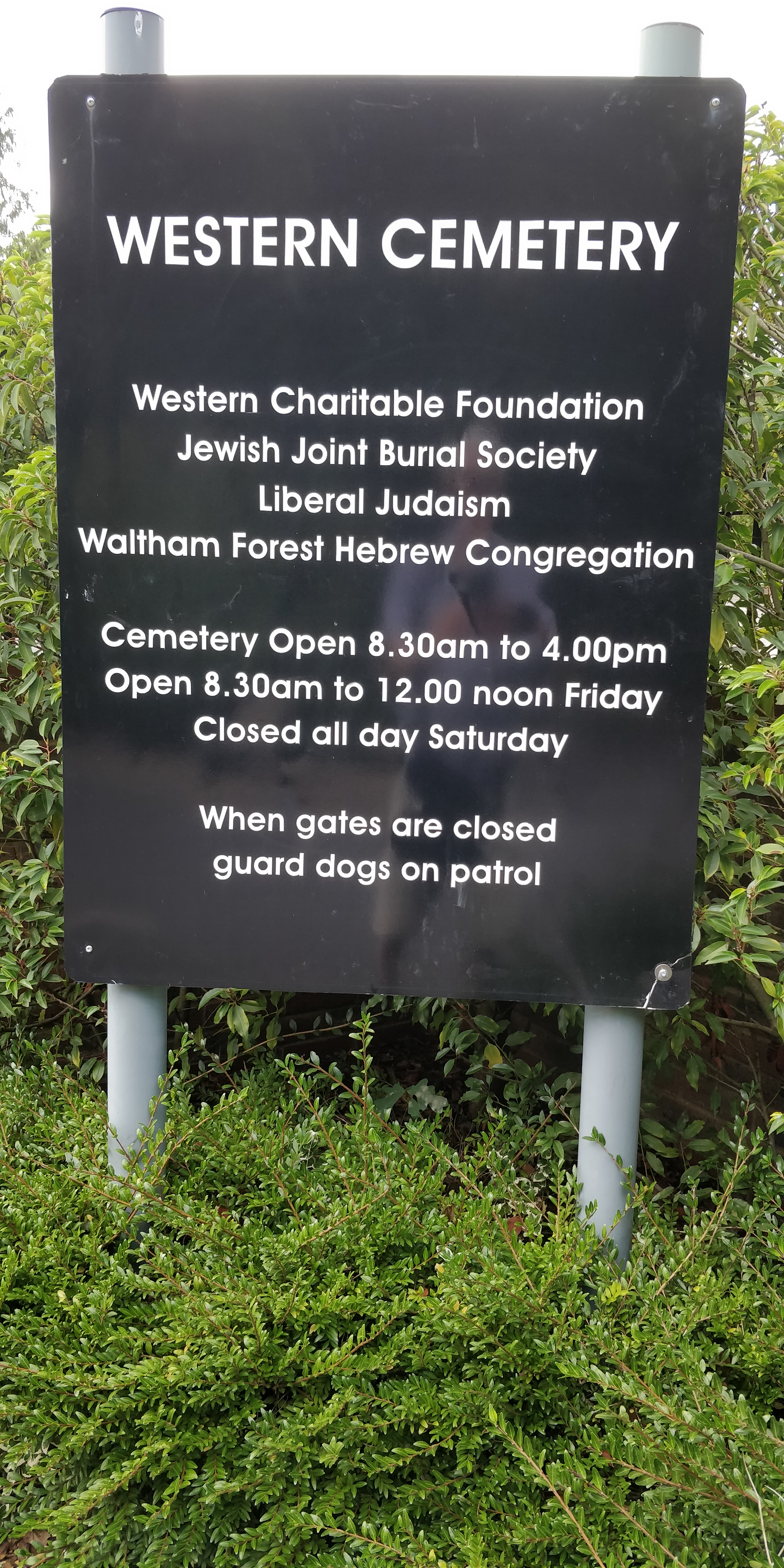
Western Cemetery (Cheshunt)

Western Cemetery is a Jewish cemetery at Bulls Cross Ride in Cheshunt in the Borough of Broxbourne, Hertfordshire EN7 5HT, England. It was established...

Crews Hill

Crews Hill is an elevated and green-buffered former hamlet grown into a small village-size community on the northern outskirts of London centred 12.3 miles...

St Mary's Church of England High School

St Mary's Church of England High School is a mixed secondary school and sixth form located in Cheshunt, Hertfordshire, England. It is a Church of England...

Theobalds Brook

Theobalds Brook is a minor tributary of the River Lea which rises in the hills south of Goffs Oak in Hertfordshire, England.

Theobalds House

Theobalds House (also known as Theobalds Palace) in the parish of Cheshunt in the English county of Hertfordshire, north of London, was a significant stately...

Nearby Amenities

Located within 500m of 51.694696,-0.085566711
Power: pole
Lat/Long: 51.6987252/-0.0856354
Power: pole
Lat/Long: 51.6976521/-0.0805738
Power: pole
Lat/Long: 51.6983694/-0.0839456
Power: pole
Lat/Long: 51.6980045/-0.0822582
Material: wood
Power: pole
Lat/Long: 51.6965748/-0.0862226
Material: wood
Power: pole
Lat/Long: 51.6965083/-0.0847259
Material: wood
Power: pole
Lat/Long: 51.6952647/-0.0815394
Material: wood
Power: pole
Lat/Long: 51.6939479/-0.0790557
Material: wood
Power: pole
Lat/Long: 51.6960694/-0.0829395
Material: wood
Power: pole
Lat/Long: 51.6968308/-0.0909162
Material: wood
Power: pole
Lat/Long: 51.6966446/-0.0876709
Material: wood
Power: pole
Lat/Long: 51.6944966/-0.0801715
Dysons Osiers Airstrip
Addr City: Cuffley
Aeroway: airstrip
Lat/Long: 51.6944314/-0.086948
The data included in this document is from www.openstreetmap.org. The data is made available under ODbL.

Have you been to Dysons Osiers?

Leave your review of Dysons Osiers below (or comments, questions and feedback).