Hawk's Wood

Wood, Forest in Cambridgeshire South Cambridgeshire

England

Hawk's Wood

Wimpole Ruin This folly was erected as a ready-made ruin in 1772 during Lancelot 'Capability' Brown's time on the estate.
Wimpole Ruin Credit: Kokai

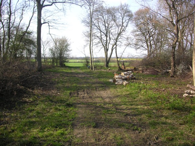
Hawk's Wood is a picturesque woodland located in Cambridgeshire, England. Covering an expansive area of approximately 100 acres, it is nestled within the rural countryside, offering a serene and tranquil escape from the bustling city life.

The wood is characterized by its diverse range of tree species, including oak, birch, beech, and pine, which contribute to its stunning natural beauty. The dense canopy formed by these trees provides a cool and shaded environment, perfect for leisurely walks and exploration.

Hawk's Wood is renowned for its rich wildlife habitat, attracting a variety of bird species such as hawks, owls, and woodpeckers. Visitors may also encounter small mammals like squirrels, rabbits, and foxes, adding to the enchanting atmosphere of the wood.

The woodland is intersected by several well-maintained walking trails, allowing visitors to fully immerse themselves in its natural splendor. Along these paths, one can discover hidden ponds, babbling brooks, and wildflower meadows, providing an opportunity for nature enthusiasts and photographers to capture the beauty of the landscape.

The wood is easily accessible, with ample parking facilities available nearby. It is a popular destination for hikers, dog walkers, and families seeking a peaceful retreat in nature. Additionally, educational programs and guided tours are occasionally organized, providing valuable insights into the local flora and fauna.

Hawk's Wood is a true gem in Cambridgeshire, offering a sanctuary for both nature lovers and those seeking solace in the great outdoors.

If you have any feedback on the listing, please let us know in the comments section below.

Hawk's Wood Images

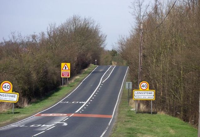
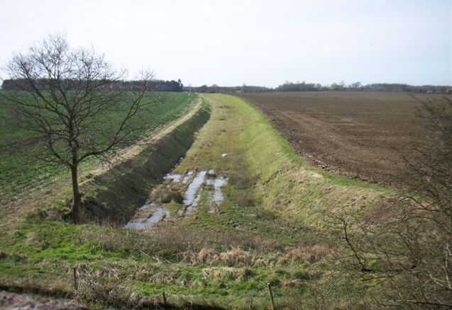
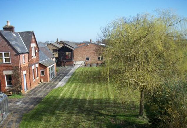
Images are sourced within 2km of 52.162986/-0.065503342 or Grid Reference TL3253. Thanks to Geograph Open Source API. All images are credited.

Wimpole Ruin This folly was erected as a ready-made ruin in 1772 during Lancelot 'Capability' Brown's time on the estate.
Wimpole Ruin
This folly was erected as a ready-made ruin in 1772 during Lancelot 'Capability' Brown's time on the estate.
Bridleway leading north from New Farm
Folly at Wimpole Hall Folly in the grounds of Wimpole Hall, part of the landscaping by Capability Brown. The view back to the hall and beyond is stunning.
Folly at Wimpole Hall
Folly in the grounds of Wimpole Hall, part of the landscaping by Capability Brown. The view back to the hall and beyond is stunning.
Wimpole Estate, north-west corner, looking south. Part of the National Trust's Wimpole Estate.
Wimpole Estate, north-west corner, looking south.
Part of the National Trust's Wimpole Estate.
Old railway bridge on A1198
Old trackbed from bridge on A1198
Disused station from bridge on A1198 The station name was Old North Road. It was on the LNWR line from Bedford to Cambridge. See <span class="nowrap"><a title="http://www.disused-stations.org.uk/o/old_north_road/index.shtml" rel="nofollow ugc noopener" href="http://www.disused-stations.org.uk/o/old_north_road/index.shtml">Link</a><img style="margin-left:2px;" alt="External link" title="External link - shift click to open in new window" src="https://s1.geograph.org.uk/img/external.png" width="10" height="10"/></span> for further information, photos and the history of the associated railway line.
Disused station from bridge on A1198
The station name was Old North Road. It was on the LNWR line from Bedford to Cambridge. See LinkExternal link for further information, photos and the history of the associated railway line.
Harcamlow Way Southwest of Kingston Poplars and waymarking on Harcamlow Way (or Wimpole Way) facing northwest.
Harcamlow Way Southwest of Kingston
Poplars and waymarking on Harcamlow Way (or Wimpole Way) facing northwest.
Eversden Wood Eversden Wood
Eversden Wood
Eversden Wood
Wimpole Hall looking across the ornamental bridge towards the Folly.
Wimpole Hall
looking across the ornamental bridge towards the Folly.
The Folly at Wimpole Hall.
Wimpole estate The western lake in the Wimpole Hall estate.
Wimpole estate
The western lake in the Wimpole Hall estate.
A bend in the A1198 (Old Great North Road, Ermine Street).
Driveway to Kingston Wood Farm
Porter's Way A track, sometimes very muddy, running from near Kingston to Ermine Street
Porter's Way
A track, sometimes very muddy, running from near Kingston to Ermine Street
Bridleway to East Hatley
Field boundary trees near Ermine Street Alongside a bridleway heading towards East Hatley
Field boundary trees near Ermine Street
Alongside a bridleway heading towards East Hatley
Milestone London 46 Royston 8 Caxton 4 Alongside Roman Ermine Street, the Old North Road
Milestone London 46 Royston 8 Caxton 4
Alongside Roman Ermine Street, the Old North Road
Show me another place!

Hawk's Wood is located at Grid Ref: TL3253 (Lat: 52.162986, Lng: -0.065503342)

Administrative County: Cambridgeshire

District: South Cambridgeshire

Police Authority: Cambridgeshire

What 3 Words

///galloping.sake.nurtures. Near Orwell, Cambridgeshire

Related Wikis

Kingston Wood and Outliers

Kingston Wood and Outliers is a 47.4-hectare (117-acre) biological Site of Special Scientific Interest south-west of Kingston in Cambridgeshire. The site...

Old North Road railway station

Old North Road was a railway station on the Varsity Line which served the small village of Longstowe near Bourn in Cambridgeshire. As its name suggests...
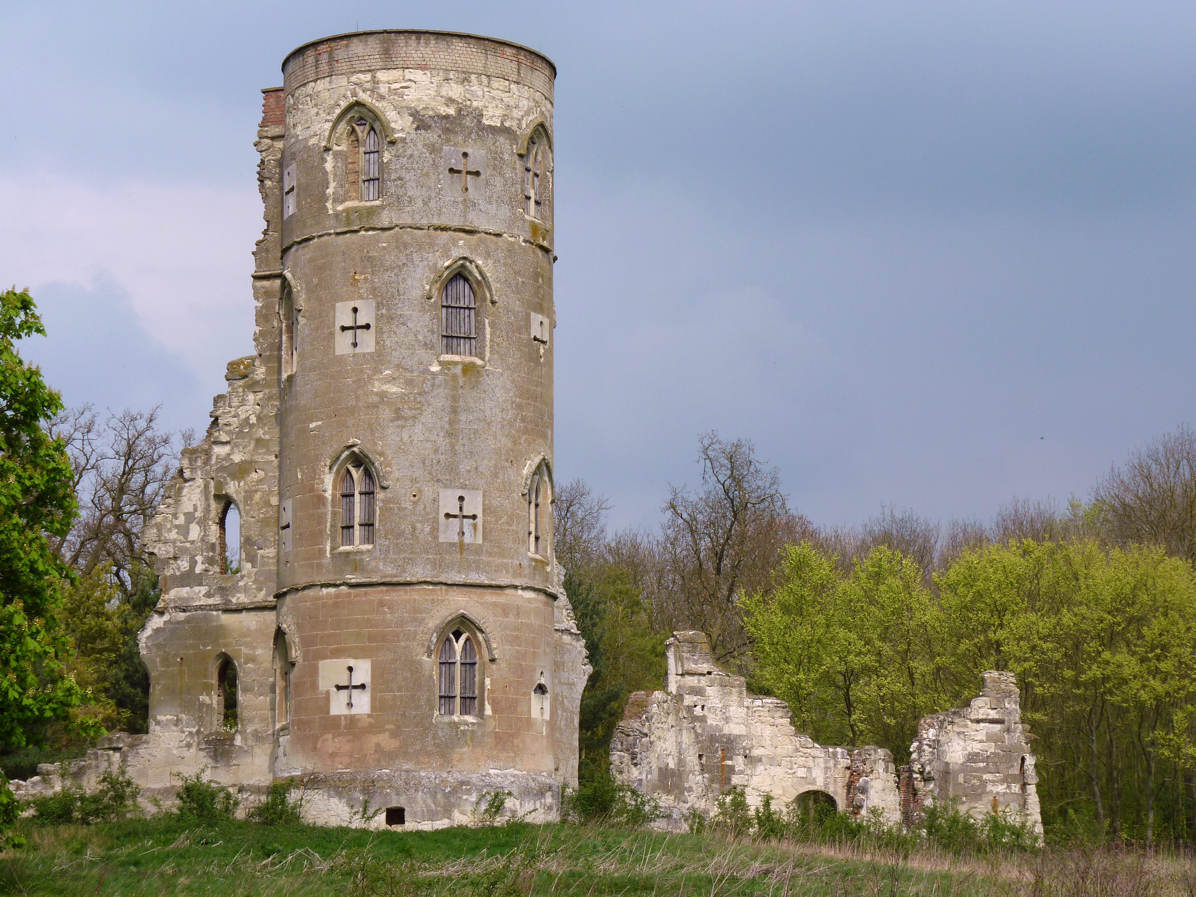
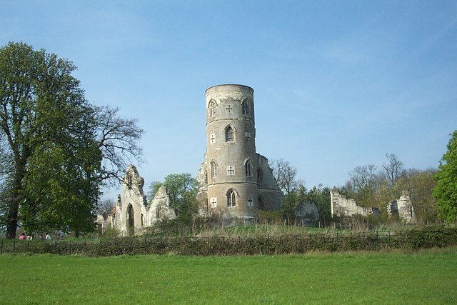
Wimpole's Folly

Wimpole's Folly is a folly ruin located in the grounds of Wimpole Hall, in the parish of Wimpole, in Cambridgeshire, England. The folly is designed to...

Wysing Arts Centre

Wysing Arts Centre is a contemporary arts residency centre and campus for artistic production, experimentation and learning in South Cambridgeshire, England...

Nearby Amenities

Located within 500m of 52.162986,-0.065503342
Power: pole
Lat/Long: 52.1605929/-0.0696116
Power: pole
Lat/Long: 52.1647786/-0.0700567
Power: pole
Lat/Long: 52.1596994/-0.069456
Power: pole
Lat/Long: 52.1623353/-0.0698904
Power: pole
Lat/Long: 52.1614682/-0.0697645
Power: pole
Lat/Long: 52.1641172/-0.0702203
Power: pole
Lat/Long: 52.166223/-0.0697457
Power: pole
Lat/Long: 52.1654926/-0.0699173
Power: pole
Lat/Long: 52.1631629/-0.0700487
Information: route_marker
Tourism: information
Lat/Long: 52.1623332/-0.0582629
Information: guidepost
Tourism: information
Lat/Long: 52.1623706/-0.0582542
The data included in this document is from www.openstreetmap.org. The data is made available under ODbL.

Have you been to Hawk's Wood?

Leave your review of Hawk's Wood below (or comments, questions and feedback).