Arrington Hill Plantation
Wood, Forest in Cambridgeshire South Cambridgeshire
England
Arrington Hill Plantation
Arrington Hill Plantation is a charming woodland located in Cambridgeshire, England. Covering an area of approximately 200 acres, this plantation is known for its rich biodiversity and tranquil atmosphere. It is a popular destination for nature lovers, hikers, and birdwatchers.
The plantation is primarily composed of dense forest, boasting a variety of tree species such as oak, beech, and pine. These towering trees provide a cool shade during the summer months and create a vibrant display of colors during the autumn season. The woodland floor is adorned with a carpet of wildflowers, ferns, and moss, adding to its natural beauty.
Arrington Hill Plantation is also home to a diverse range of wildlife. Visitors may be lucky enough to spot deer, foxes, and rabbits while exploring the trails. Bird enthusiasts will enjoy the opportunity to observe various species, including woodpeckers, owls, and thrushes.
The plantation offers several well-maintained walking trails, allowing visitors to explore the area at their own pace. These trails wind through the forest, offering breathtaking views and the chance to immerse oneself in nature. Along the way, there are numerous benches and picnic areas, perfect for a peaceful break or a family outing.
Arrington Hill Plantation is easily accessible, with ample parking available for visitors. Whether you are seeking a peaceful retreat or an exhilarating outdoor adventure, this picturesque woodland is sure to captivate and rejuvenate all who visit.
If you have any feedback on the listing, please let us know in the comments section below.
Arrington Hill Plantation Images
Images are sourced within 2km of 52.144605/-0.067001647 or Grid Reference TL3251. Thanks to Geograph Open Source API. All images are credited.


Arrington Hill Plantation is located at Grid Ref: TL3251 (Lat: 52.144605, Lng: -0.067001647)
Administrative County: Cambridgeshire
District: South Cambridgeshire
Police Authority: Cambridgeshire
What 3 Words
///hounded.childcare.bricks. Near Orwell, Cambridgeshire
Nearby Locations
Related Wikis
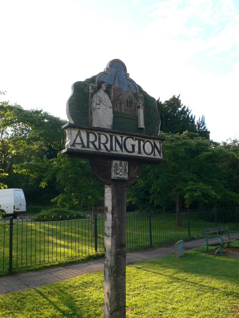
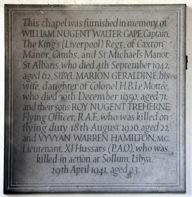
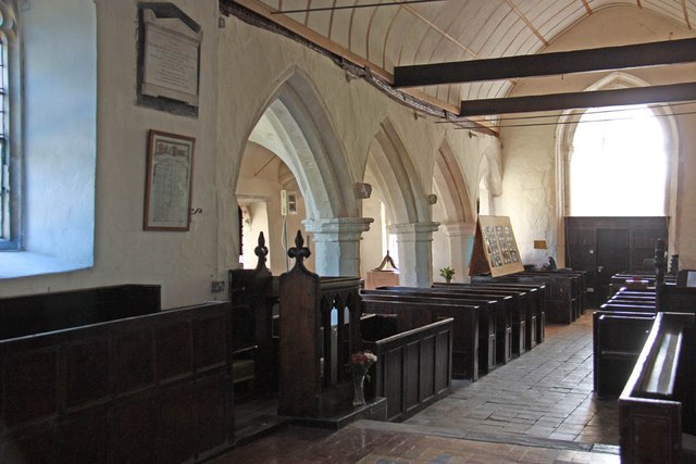
Arrington, Cambridgeshire
Arrington is a small village and civil parish in the South Cambridgeshire district of Cambridgeshire, England, with a population of 415 at the time of...

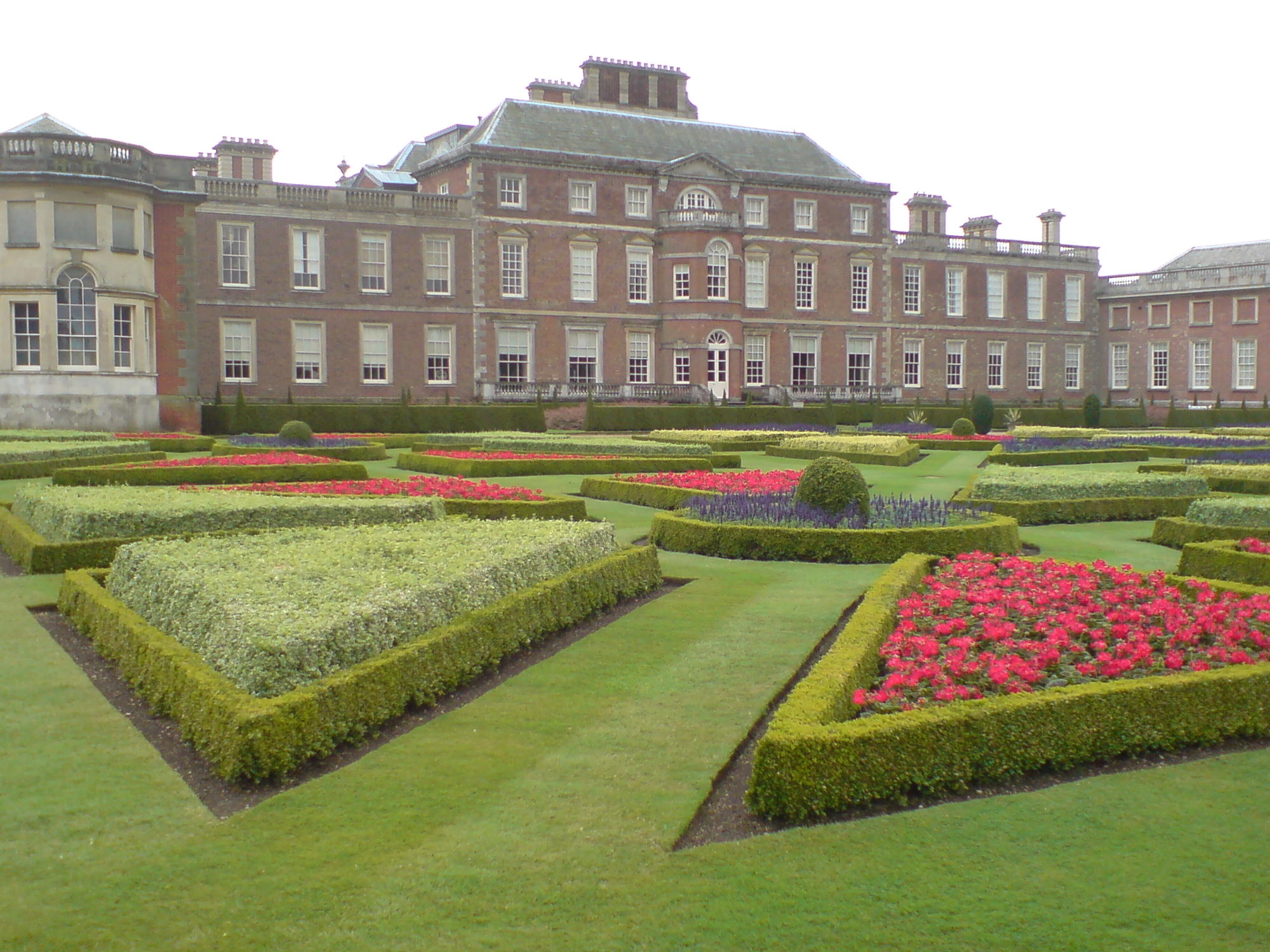
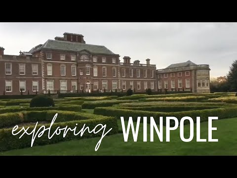
Wimpole Estate
Wimpole Estate is a large estate containing Wimpole Hall, a country house located within the civil parish of Wimpole, Cambridgeshire, England, about 8...
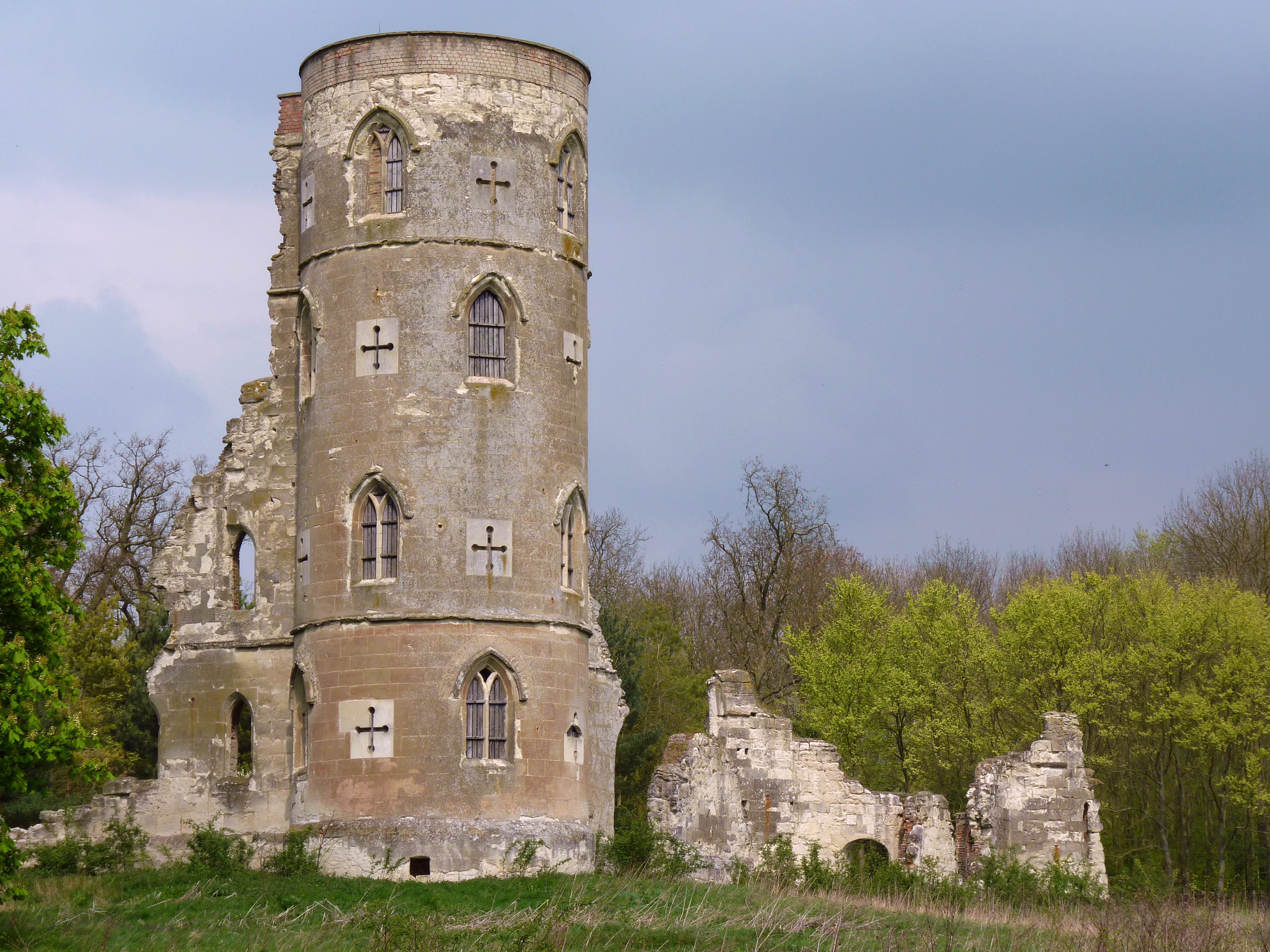
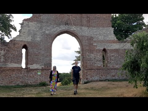
Wimpole's Folly
Wimpole's Folly is a folly ruin located in the grounds of Wimpole Hall, in the parish of Wimpole, in Cambridgeshire, England.The folly is designed to resemble...
Wimpole
Wimpole is a small village and civil parish in South Cambridgeshire, England, about 8+1⁄2 miles (13.7 km) southwest of Cambridge. Until 1999, the main...
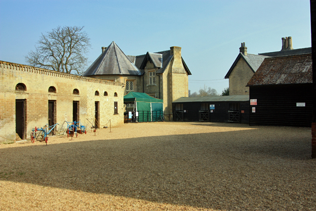
Wimpole Home Farm
Wimpole Home Farm is an 18th-century model farm on the Wimpole Estate, Arrington, Royston, in South Cambridgeshire, England, and operated by the National...

Croydon, Cambridgeshire
Croydon is a small village and civil parish in South Cambridgeshire, England. It is 10 miles (16 km) south-west of Cambridge and immediately west of the...

Kingston Wood and Outliers
Kingston Wood and Outliers is a 47.4-hectare (117-acre) biological Site of Special Scientific Interest south-west of Kingston in Cambridgeshire. The site...
Clopton, Cambridgeshire
Clopton is a deserted medieval village (DMV), about 1 mile (1.6 km) south west of the village of Croydon, Cambridgeshire, that once stood on a prominent...
Related Videos
Spring Walk at Wimpole Hall
Join me with daughter Yasmin and Granddaughter Poppy for a Springtime walk around the beautiful gardens at Wimpole Hall, ...
A trip to Wimpole Estate | Travel Diary
Welcome to Anderson Adventures. Within todays episode of the Travel Diary, we explore the stunning estate at Wimpole.
A Walk to Wimpole Folly ( Cambridgeshire / National Trust )
Wimpole Hall Wimpole Estate Cambridgeshire National Trust Music David French Filmed by David and Dawn French 5th August ...
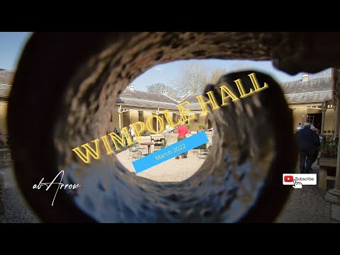
Wimpole Hall
nationaltrust #landscapevideo #traveling Hi, I would like share with you my visit to National Trust Wimpole Hall. This is a great ...
Nearby Amenities
Located within 500m of 52.144605,-0.067001647Have you been to Arrington Hill Plantation?
Leave your review of Arrington Hill Plantation below (or comments, questions and feedback).