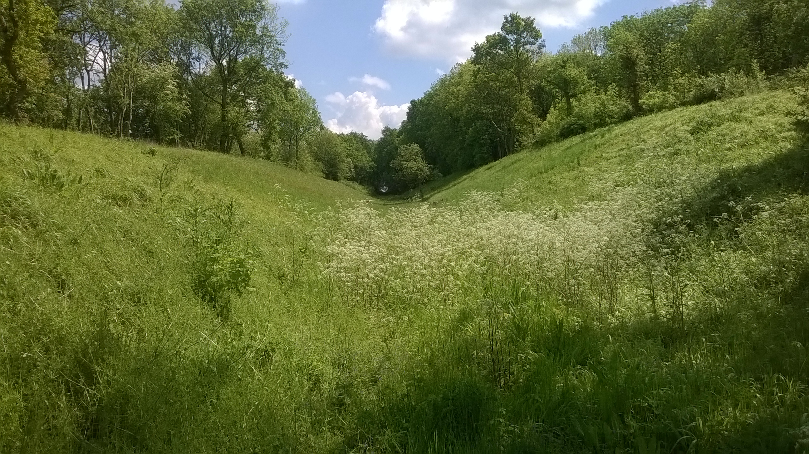
Hill Close Spinney
Wood, Forest in Huntingdonshire Huntingdonshire
England
Hill Close Spinney
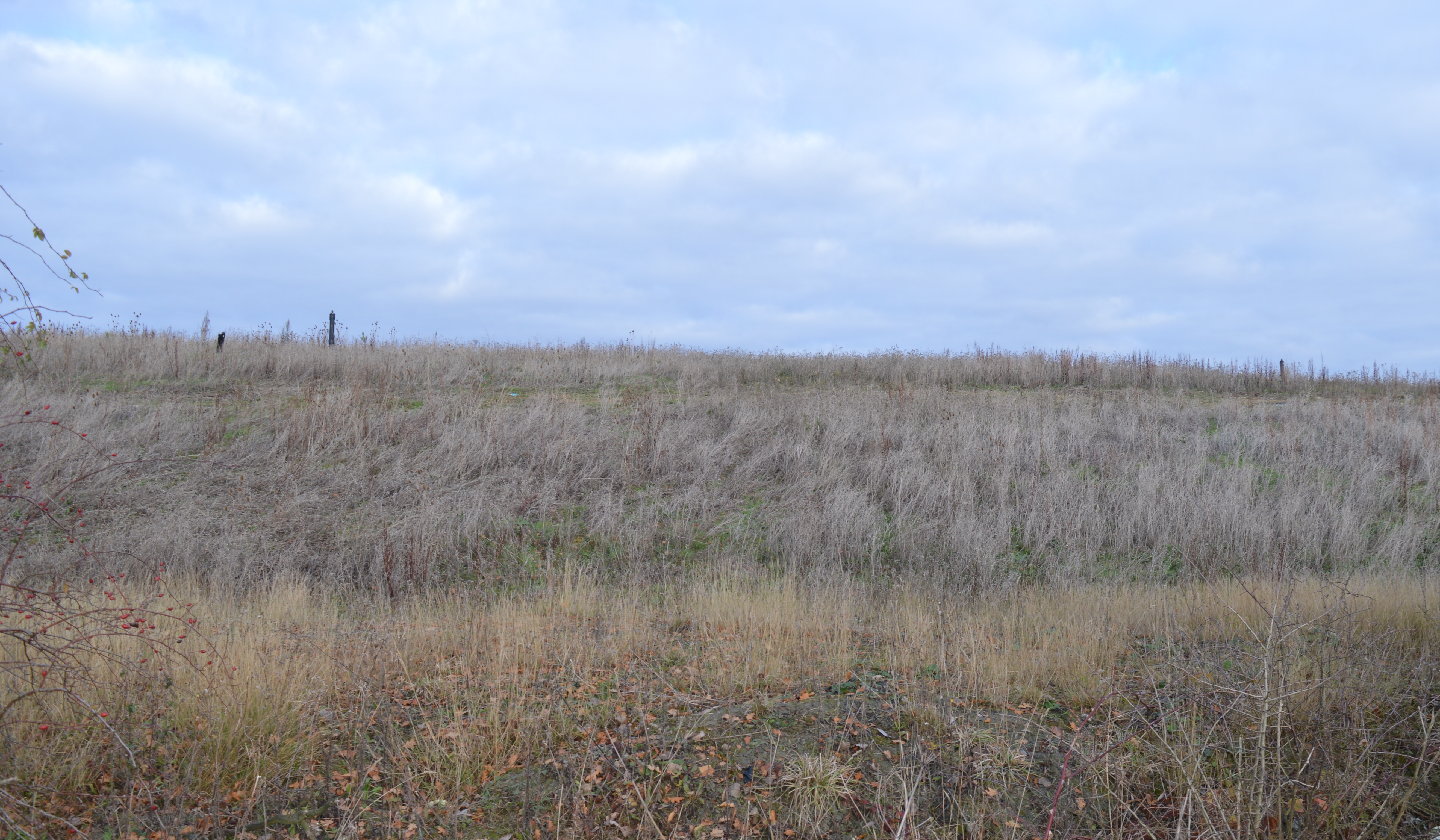
Hill Close Spinney is a picturesque woodland located in Huntingdonshire, England. Spread across a sprawling area, this enchanting forest is a haven for nature enthusiasts and outdoor lovers alike.
The woodland is characterized by its diverse and vibrant ecosystem. Towering oak and ash trees dominate the landscape, providing ample shade and shelter to a wide variety of flora and fauna. The forest floor is adorned with a lush carpet of ferns, wildflowers, and moss, creating a serene and tranquil atmosphere.
Hill Close Spinney is home to an array of wildlife species, making it a popular spot for birdwatching and animal spotting. Visitors can catch a glimpse of native birds such as woodpeckers, owls, and songbirds as they flit through the treetops. Squirrels and rabbits can also be spotted scurrying about, adding to the charm of this woodland.
The forest offers a network of well-maintained trails, perfect for leisurely strolls or more adventurous hikes. These pathways wind through the woods, allowing visitors to explore the nooks and crannies of Hill Close Spinney. Along the way, benches and picnic spots provide opportunities for rest and relaxation amidst the natural beauty.
Hill Close Spinney is a true gem in the Huntingdonshire countryside, offering a peaceful retreat from the hustle and bustle of everyday life. Whether seeking solitude, wildlife encounters, or simply a breath of fresh air, this woodland is a must-visit destination for nature enthusiasts and those seeking a connection with the great outdoors.
If you have any feedback on the listing, please let us know in the comments section below.
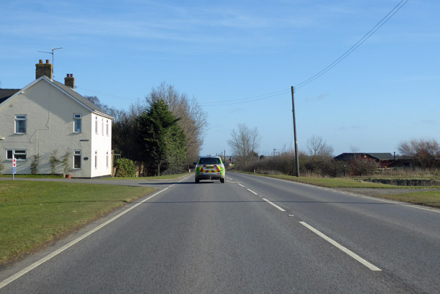
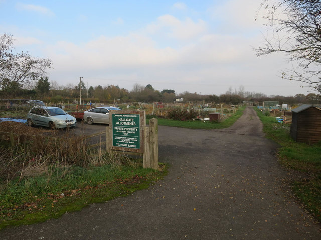
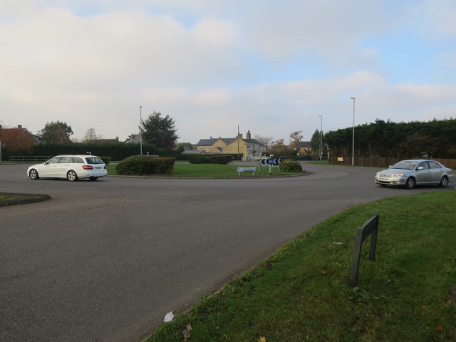
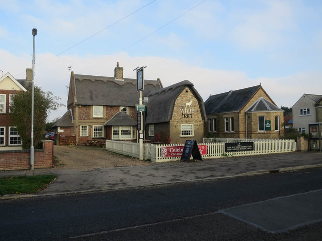
Hill Close Spinney Images
Images are sourced within 2km of 52.393906/-0.056111041 or Grid Reference TL3279. Thanks to Geograph Open Source API. All images are credited.


Hill Close Spinney is located at Grid Ref: TL3279 (Lat: 52.393906, Lng: -0.056111041)
Administrative County: Cambridgeshire
District: Huntingdonshire
Police Authority: Cambridgeshire
What 3 Words
///cold.deprive.forwarded. Near Warboys, Cambridgeshire
Nearby Locations
Related Wikis

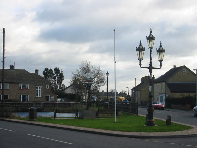
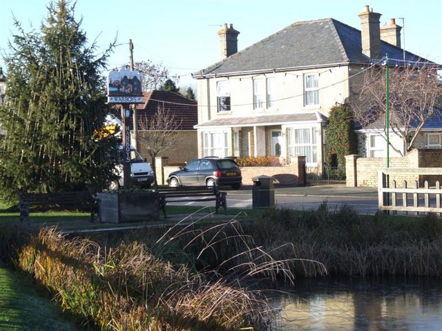
Warboys
Warboys is a large village and civil parish in the Huntingdonshire district of Cambridgeshire, England, 7 miles (11 km) north-east of Huntingdon. ��2...

Pidley
Pidley is a small village in Cambridgeshire, England. Pidley lies approximately 7 miles (11 km) north-east of Huntingdon. Together with the neighbouring...

Warboys Town F.C.
Warboys Town Football Club is a football club based in Warboys, near Ramsey in Cambridgeshire, England. The club are currently members of the Peterborough...
Pingle Cutting
Pingle Cutting is a 1.0-hectare (2.5-acre) nature reserve north of Warboys in Cambridgeshire. It is managed by the Wildlife Trust for Bedfordshire, Cambridgeshire...

Woodhurst
Woodhurst is a village and civil parish in Cambridgeshire, England. Woodhurst lies approximately 5 miles (8 km) north-east of Huntingdon and just north...
Warboys railway station
Warboys railway station was a railway station in Warboys, Cambridgeshire, which opened in 1889 and closed completely in 1964. == References == == External... ==
Warboys Clay Pit
Warboys Clay Pit is a 12.6-hectare (31-acre) geological Site of Special Scientific Interest west of Warboys in Cambridgeshire. It is a Geological Conservation...

Old Hurst
Old Hurst is a village and civil parish in Cambridgeshire, England, approximately 5 miles (8 km) north-east of Huntingdon. It is situated within Huntingdonshire...
Nearby Amenities
Located within 500m of 52.393906,-0.056111041Have you been to Hill Close Spinney?
Leave your review of Hill Close Spinney below (or comments, questions and feedback).