Old Wryde Bank Holt

Wood, Forest in Cambridgeshire

England

Old Wryde Bank Holt

Ripening wheatfield With windmills in the distance
Ripening wheatfield Credit: Eirian Evans

Old Wryde Bank Holt is a small woodland area located in Cambridgeshire, England. It is situated within the district of Holt, known for its picturesque landscapes and natural beauty. The holt is primarily composed of a mix of deciduous and coniferous trees, creating a diverse and vibrant ecosystem.

Covering an area of approximately 20 acres, Old Wryde Bank Holt is a haven for wildlife and nature enthusiasts. The woodland is home to a variety of species, including birds, mammals, and insects. Visitors can often spot squirrels, rabbits, and various bird species such as woodpeckers and owls.

The holt offers a peaceful and tranquil atmosphere, making it an ideal destination for those seeking a retreat from the hustle and bustle of everyday life. As visitors wander along the well-maintained paths, they can enjoy the beauty of the ancient trees, which have stood tall for generations.

Within the woodland, there are several designated picnic areas, allowing visitors to enjoy a meal surrounded by nature. Additionally, there are benches strategically placed throughout the holt, providing resting spots for those who wish to take a moment to appreciate the serene surroundings.

Old Wryde Bank Holt is also a popular spot for nature walks and educational activities. Local schools often organize trips to the holt to introduce children to the wonders of the natural world.

Overall, Old Wryde Bank Holt is a charming woodland area that offers a unique opportunity to immerse oneself in nature. Whether it is for a leisurely stroll, a picnic, or an educational visit, this tranquil holt provides a delightful experience for visitors of all ages.

If you have any feedback on the listing, please let us know in the comments section below.

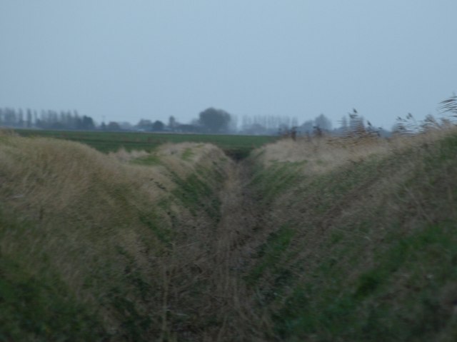
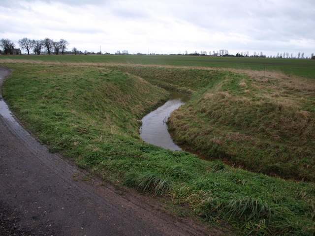
Old Wryde Bank Holt Images

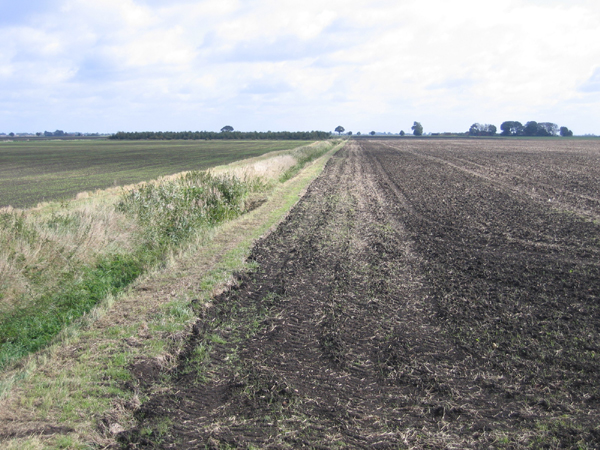
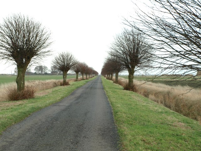
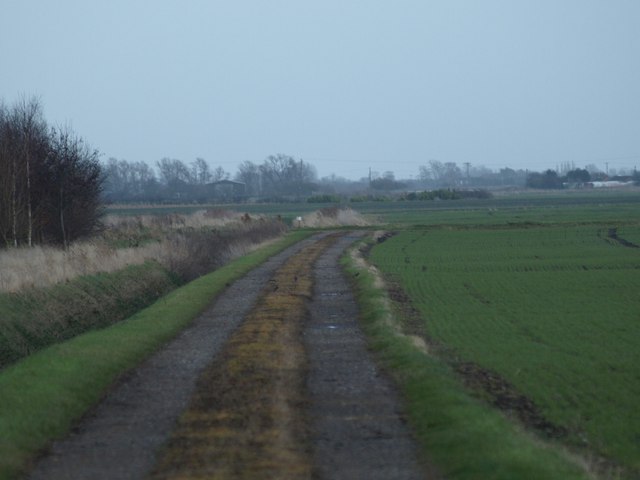
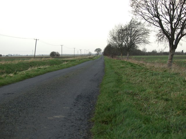
Images are sourced within 2km of 52.626207/-0.045935514 or Grid Reference TF3204. Thanks to Geograph Open Source API. All images are credited.

Ripening wheatfield With windmills in the distance
Ripening wheatfield
With windmills in the distance
View from New Cut, B1167, Thorney, Cambs – E towards Wryde Croft.
View from New Cut, B1167, Thorney, Cambs
– E towards Wryde Croft.
Pigeons' Farm The farm is alongside the old A47, picture taken from Old Knarr Fen Drove
Pigeons' Farm
The farm is alongside the old A47, picture taken from Old Knarr Fen Drove
A Corner A typical 90 degree bend on an otherwise straight fenland road.
A Corner
A typical 90 degree bend on an otherwise straight fenland road.
Fenland Crossroads The crossroads in the fens are as square as you will find anywhere.
Fenland Crossroads
The crossroads in the fens are as square as you will find anywhere.
Tunnel of Trees This long straight avenue has its vanishing point at the far side of this square.
Tunnel of Trees
This long straight avenue has its vanishing point at the far side of this square.
Corner Farm Corner Farm stands on the corner of this narrow fen road and the A47.
Corner Farm
Corner Farm stands on the corner of this narrow fen road and the A47.
Private water You can just see a heron by the far bank, who presumably has a day ticket (see <a href="https://www.geograph.org.uk/photo/623786">TF3404 : Heron, fishing on New Wryde Drain</a>)
Private water
You can just see a heron by the far bank, who presumably has a day ticket (see TF3404 : Heron, fishing on New Wryde Drain)
Welcome to - Peterborough? The Peterborough unitary authority contains large chunks of rural fenland as well as the City of Peterborough itself. Here the A47 enters the parish of Thorney, some 15km from the city centre.
Welcome to - Peterborough?
The Peterborough unitary authority contains large chunks of rural fenland as well as the City of Peterborough itself. Here the A47 enters the parish of Thorney, some 15km from the city centre.
Dalmark Grain Store, Thorney (Trust me on the DALM!) A company trading in many crops, especially peas and beans <span class="nowrap"><a title="http://www.dalmark.co.uk/" rel="nofollow ugc noopener" href="http://www.dalmark.co.uk/">Link</a><img style="margin-left:2px;" alt="External link" title="External link - shift click to open in new window" src="https://s1.geograph.org.uk/img/external.png" width="10" height="10"/></span>
Dalmark Grain Store, Thorney
(Trust me on the DALM!) A company trading in many crops, especially peas and beans LinkExternal link
Heron, fishing on New Wryde Drain Seemingly oblivious to the fact that it is <a href="https://www.geograph.org.uk/photo/623147">TF3404 : Private water</a>
Heron, fishing on New Wryde Drain
Seemingly oblivious to the fact that it is TF3404 : Private water
Thorney Bypass Eastern Roundabout Got pulled by the police whilst taking this one. Well if you are looking at this Mr. nice policeman you can see that it is a hobby and I'm not getting paid for it.
Thorney Bypass Eastern Roundabout
Got pulled by the police whilst taking this one. Well if you are looking at this Mr. nice policeman you can see that it is a hobby and I'm not getting paid for it.
Wallace's Drove
Wallace's Drove
Farm Track Taken at Nutsgrove farm, Wallace's Drove.
Farm Track
Taken at Nutsgrove farm, Wallace's Drove.
Fenland Road It's all in the title.
Fenland Road
It's all in the title.
In A Ditch Dry fenland ditch looking east
In A Ditch
Dry fenland ditch looking east
Track And Drain Farm track and drain
Track And Drain
Farm track and drain
Double Bend An unusual double bend in an otherwise straight drain.
Double Bend
An unusual double bend in an otherwise straight drain.
Show me another place!

Old Wryde Bank Holt is located at Grid Ref: TF3204 (Lat: 52.626207, Lng: -0.045935514)

Division: Isle of Ely

Unitary Authority: Peterborough

Police Authority: Cambridgeshire

What 3 Words

///baseless.hoot.vowed. Near Thorney, Cambridgeshire

Related Wikis

Wryde railway station

Wryde railway station was a station serving Wryde, Cambridgeshire on the Midland and Great Northern Joint Railway between Wisbech and Peterborough. Originally...

Thorney Toll

Thorney Toll is a hamlet in Fenland District, in the Isle of Ely, Cambridgeshire, England. The hamlet sits either side of the A47 between Guyhirn and Peterborough...

Thorney, Cambridgeshire

Thorney is a village in the Peterborough unitary authority in the ceremonial county of Cambridgeshire, England. Located around eight miles (13 km) east...

Thorney Abbey

Thorney Abbey, now the Church of St Mary and St Botolph, was a medieval monastic house established on the island of Thorney in The Fens of Cambridgeshire...

Nearby Amenities

Located within 500m of 52.626207,-0.045935514
Wryde Croft
Place: locality
Lat/Long: 52.6256921/-0.0495839
The data included in this document is from www.openstreetmap.org. The data is made available under ODbL.

Have you been to Old Wryde Bank Holt?

Leave your review of Old Wryde Bank Holt below (or comments, questions and feedback).