Asthall

Settlement in Oxfordshire West Oxfordshire

England

Asthall

A40 south of Worsham
A40 south of Worsham Credit: Colin Pyle

Asthall is a small village located in the county of Oxfordshire, England. Situated on the banks of the River Windrush, it lies approximately 15 miles west of Oxford and 9 miles southeast of Burford. With a population of around 200 residents, Asthall is known for its picturesque setting and charming countryside atmosphere.

The village boasts a rich history, with evidence of human settlement dating back to the Roman era. Asthall is famous for its connection to the Mitford family, a prominent aristocratic English family. The Jacobean manor house, Asthall Manor, was the childhood home of the renowned Mitford sisters, who were influential figures in British society during the early 20th century.

The landscape surrounding Asthall is characterized by rolling hills, meandering streams, and lush green fields. It offers a tranquil escape for visitors seeking a rural retreat. The village is surrounded by beautiful walking trails and footpaths, making it popular among hikers and nature enthusiasts.

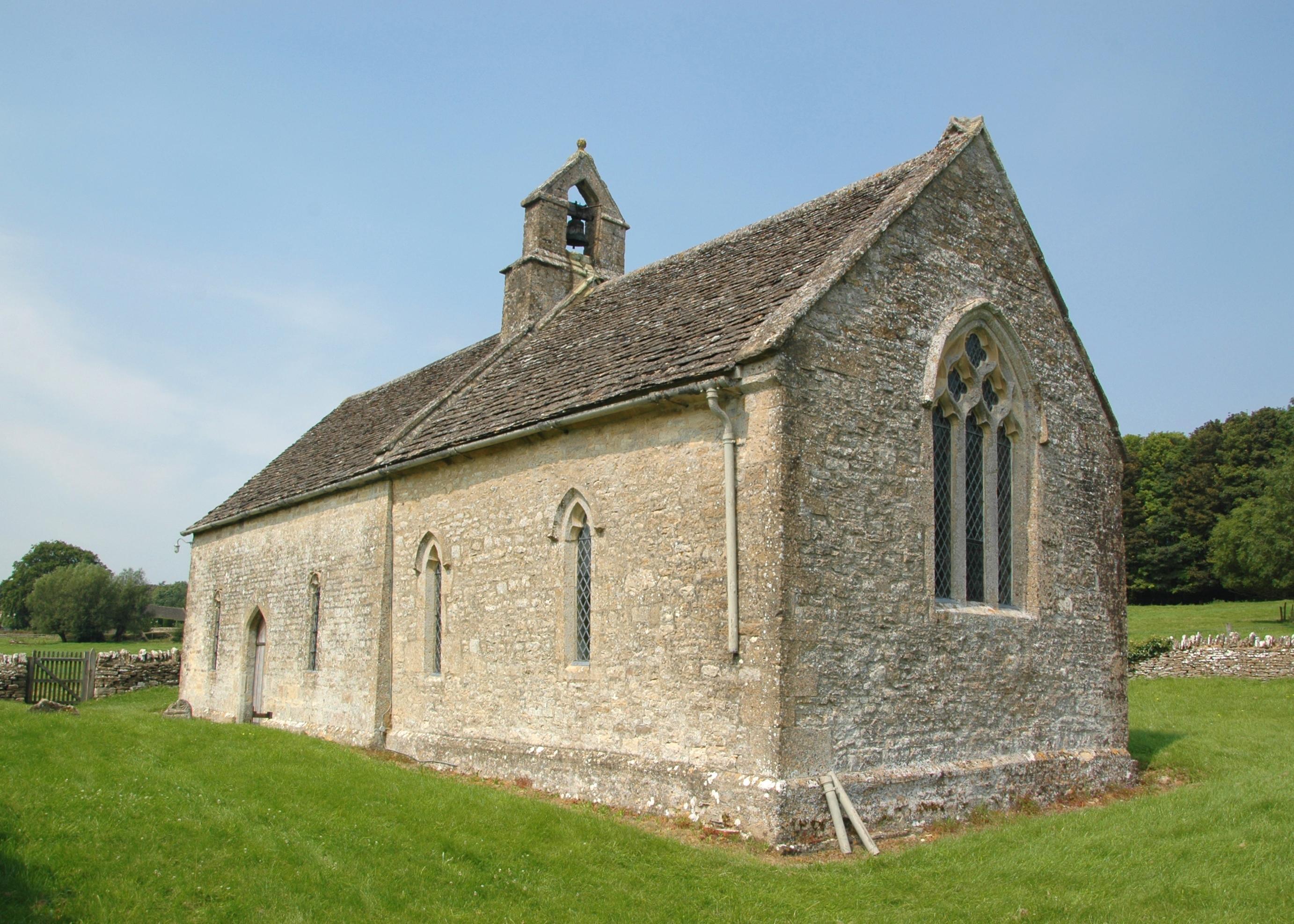
Asthall features a small church, St. Nicholas Church, which dates back to the 12th century and is known for its medieval architecture. The church is a focal point for local religious and community activities.

While Asthall is primarily a residential village, it is conveniently situated near larger towns and cities, allowing residents to access a range of amenities and services. Its close proximity to the Cotswolds, an Area of Outstanding Natural Beauty, also makes Asthall an attractive destination for tourists exploring the region.

If you have any feedback on the listing, please let us know in the comments section below.
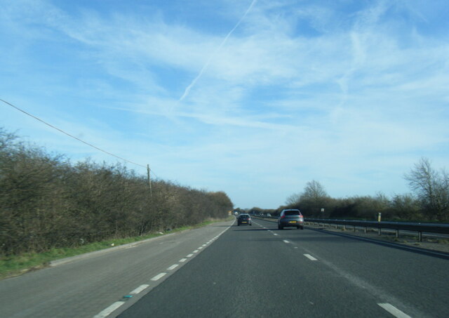
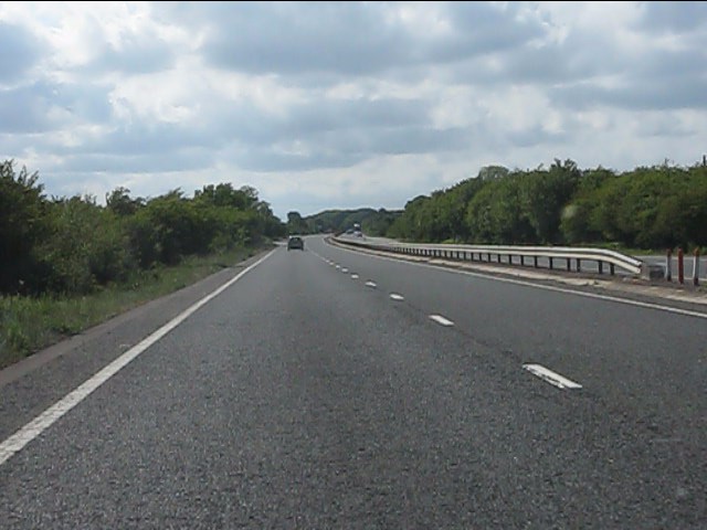
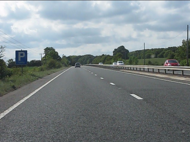
Asthall Images

Images are sourced within 2km of 51.799786/-1.582678 or Grid Reference SP2811. Thanks to Geograph Open Source API. All images are credited.

A40 south of Worsham
Bridlepath across the A40 The gap in the central reservation's barriers indicates the course of the bridlepath.
Bridlepath across the A40
The gap in the central reservation's barriers indicates the course of the bridlepath.
A40 near Asthall Barrow Alas the dual carriageway will end shortly, with a road more suited to the 1940s ensuring a tedious journey hence to Cheltenham.
A40 near Asthall Barrow
Alas the dual carriageway will end shortly, with a road more suited to the 1940s ensuring a tedious journey hence to Cheltenham.
A40 eastbound at Stud Farm
A40 at Barrow Plantation
Windrush Valley near Asthall Farmland in the valley viewed from higher ground to the south.
Windrush Valley near Asthall
Farmland in the valley viewed from higher ground to the south.
Bales and Old Walls, Asthall Straw bales stacked by the ruins of an old building beside the road south of the village.
Bales and Old Walls, Asthall
Straw bales stacked by the ruins of an old building beside the road south of the village.
Well at Asthall Barrow Farm It's amazing that the OS still shows this sort of thing on maps.
Marked as the standard blue "W" on the explorer sheet, there is indeed the remains of some sort of old pipework here sticking up out of the grass.
It just shows the detail these maps have.
Well at Asthall Barrow Farm
It's amazing that the OS still shows this sort of thing on maps. Marked as the standard blue "W" on the explorer sheet, there is indeed the remains of some sort of old pipework here sticking up out of the grass. It just shows the detail these maps have.
Walls and Trees near Asthall A timeless old style farming landscape in the Windrush valley.
Walls and Trees near Asthall
A timeless old style farming landscape in the Windrush valley.
Hillside at Kitesbridge Farm Sloping up out of the Windrush Valley.
Hillside at Kitesbridge Farm
Sloping up out of the Windrush Valley.
A Stile and a Gate The old gate is long disused and falling to bits. The stone stile is in much better shape.
Footpath north of Asthall Bridge.
A Stile and a Gate
The old gate is long disused and falling to bits. The stone stile is in much better shape. Footpath north of Asthall Bridge.
Digger in the Gateway This mechanical arm suddenly appeared as I was about to walk past.
Digger in the Gateway
This mechanical arm suddenly appeared as I was about to walk past.
Red Creeper on the Wall Seasonal colour in Asthall Village.
Red Creeper on the Wall
Seasonal colour in Asthall Village.
Thatched House, Asthall Houses and sheep in Asthall Village.
Thatched House, Asthall
Houses and sheep in Asthall Village.
Width restriction into Asthall At the edge of the village. Smart white fencing to look nice and solid metal posts to stop oversized vehicles.
Width restriction into Asthall
At the edge of the village. Smart white fencing to look nice and solid metal posts to stop oversized vehicles.
Old Lantern by the Churchyard One of the ways to Swinbrook Church is up some steps into the churchyard from the road.
This lamp is at the top of the steps.
Old Lantern by the Churchyard
One of the ways to Swinbrook Church is up some steps into the churchyard from the road. This lamp is at the top of the steps.
Swinbrook Village Hall In the centre of the village over the road from the church.
The old lamp is by a gate into the churchyard.
Swinbrook Village Hall
In the centre of the village over the road from the church. The old lamp is by a gate into the churchyard.
Early Autumn in Swinbrook A mid October day in this pleasant Cotswold village.
Early Autumn in Swinbrook
A mid October day in this pleasant Cotswold village.
Show me another place!

Asthall is located at Grid Ref: SP2811 (Lat: 51.799786, Lng: -1.582678)

Administrative County: Oxfordshire

District: West Oxfordshire

Police Authority: Thames Valley

What 3 Words

///finishers.trim.senders. Near Minster Lovell, Oxfordshire

Related Wikis

Asthall

Asthall or Asthal is a village and civil parish on the River Windrush in Oxfordshire, about 6 miles (10 km) west of Witney. It includes the hamlets of...
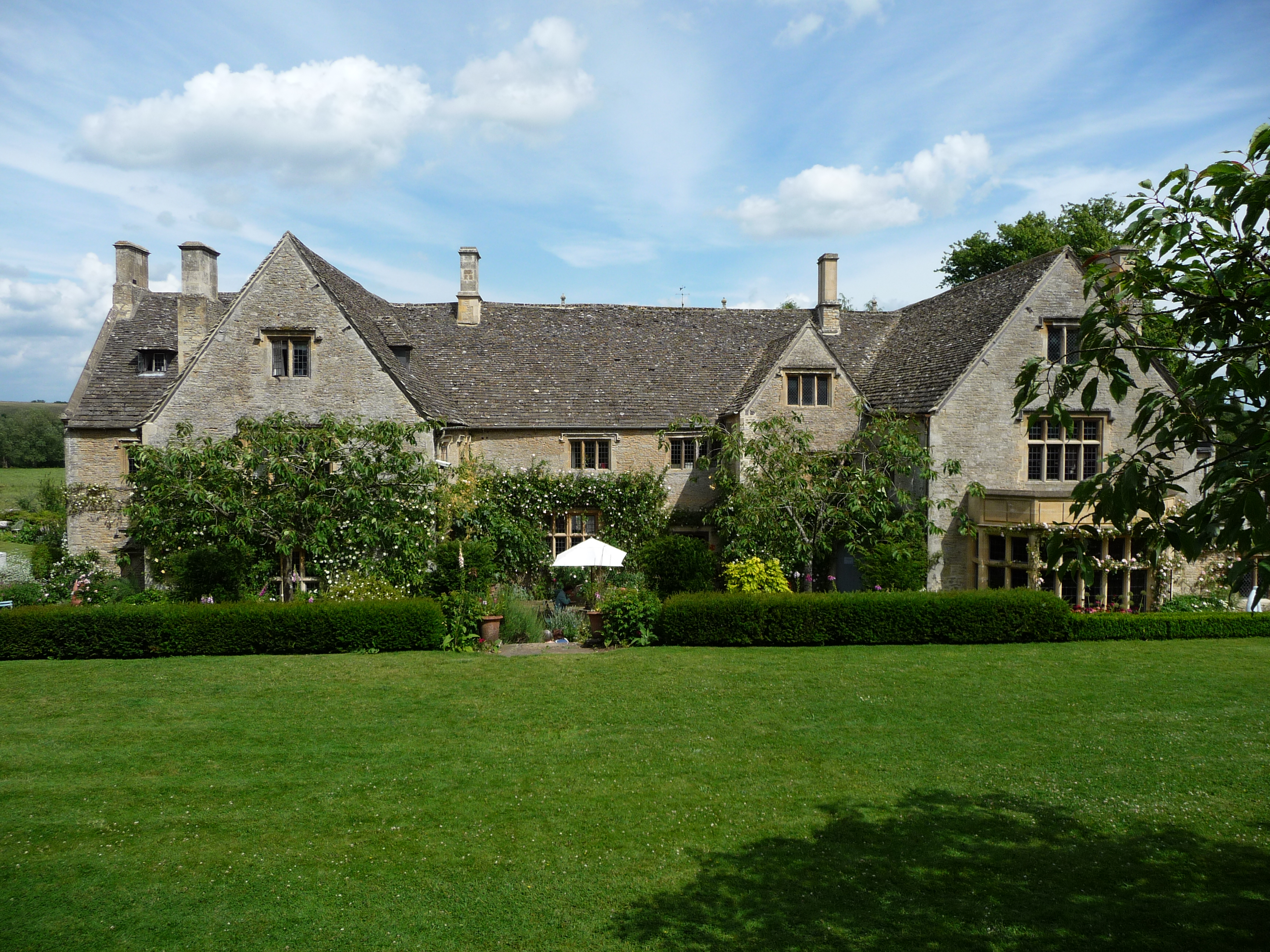
Asthall Manor

Asthall Manor is a gabled Jacobean Cotswold manor house in Asthall, Oxfordshire. It was built in about 1620 and altered and enlarged in about 1916. The...

Swinbrook

Swinbrook is a village and former civil parish, now in the parish of Swinbrook and Widford, in the West Oxfordshire district, in the county of Oxfordshire...

Worsham, Oxfordshire

Worsham is a hamlet on the River Windrush about 3.5 miles (5.6 km) west of Witney. 0.25 miles (400 m) east of Worsham on the north side of the Windrush...

Asthall barrow

Asthall barrow is a high-status Anglo-Saxon burial mound from the seventh century AD. It is located in Asthall, Oxfordshire, and was excavated in 1923...

Swinbrook and Widford

Swinbrook and Widford is a civil parish in West Oxfordshire district, in the county of Oxfordshire, England. It comprises the village of Swinbrook and...

Widford, Oxfordshire

Widford is a deserted medieval village on the River Windrush about 1.5 miles (2.4 km) east of Burford in West Oxfordshire. The village was an exclave of...

Crocodiles of the World

Crocodiles of the World is a zoo in Brize Norton, Oxfordshire in the United Kingdom specialising in crocodilia. == History == Crocodiles of the world was...

Nearby Amenities

Located within 500m of 51.799786,-1.582678
Pub
Maytime Inn
Wikidata: Q111368664
Lat/Long: 51.8000224/-1.5829258
Asthall
Alt Name: Asthal
Place: village
Wikidata: Q2102574
Wikipedia: en:Asthall
Lat/Long: 51.7997897/-1.5826944
The Maytime PH
Naptan AtcoCode: 340000057V
Naptan Bearing: E
Naptan BusStopType: CUS
Naptan CommonName: The Maytime PH
Naptan Indicator: Outside
Naptan NaptanCode: oxfamgjp
Naptan Street: Unclassified
Naptan Verified: no
Source: naptan_import
Lat/Long: 51.8000116/-1.5832704
The Maytime PH
Naptan AtcoCode: 340000057VE
Naptan Bearing: W
Naptan BusStopType: CUS
Naptan CommonName: The Maytime PH
Naptan Indicator: Opposite
Naptan NaptanCode: oxfgajga
Naptan Street: Unclassified
Naptan Verified: no
Source: naptan_import
Lat/Long: 51.7999214/-1.5831987
Barrier: stile
Lat/Long: 51.8015324/-1.581202
Barrier: stile
Lat/Long: 51.8024097/-1.5841629
Power: pole
Source: Bing
Lat/Long: 51.7963161/-1.5784612
Power: pole
Source: Bing
Lat/Long: 51.7969961/-1.5786006
Power: pole
Source: Bing
Lat/Long: 51.7980329/-1.5762725
Telephone
Booth: K6
Covered: booth
Listed Status: Grade II
Operator: BT
Phone: +44 1993 823229
Lat/Long: 51.7999431/-1.5833389
Power: pole
Source: Bing
Lat/Long: 51.7978797/-1.5778925
Power: pole
Lat/Long: 51.7977944/-1.5786251
Power: pole
Source: Bing
Lat/Long: 51.7989659/-1.5818397
Power: pole
Lat/Long: 51.7997721/-1.5846243
The data included in this document is from www.openstreetmap.org. The data is made available under ODbL.

Have you been to Asthall?

Leave your review of Asthall below (or comments, questions and feedback).