Chalk Hill Cover
Wood, Forest in Oxfordshire West Oxfordshire
England
Chalk Hill Cover
Chalk Hill Wood, located in Oxfordshire, England, is a picturesque forest covering an area of approximately 100 acres. This woodland is a part of the Chiltern Hills, a designated Area of Outstanding Natural Beauty. The forest is situated near the village of Aston Rowant and is managed by the Forestry Commission.
Chalk Hill Wood is known for its diverse ecosystem and abundant wildlife. The forest is predominantly composed of beech trees, which provide a dense canopy and create a cool, shaded environment. Other tree species, such as oak, ash, and birch, are also found in the wood, contributing to its rich biodiversity.
The forest floor is covered with a variety of plants, including bluebells, wild garlic, and wood anemones, which create a vibrant display of colors during the spring season. This makes Chalk Hill Wood a popular destination for nature enthusiasts and photographers.
The woodland is home to a wide range of wildlife, including deer, foxes, badgers, and squirrels. Birdwatchers can also find numerous species, such as woodpeckers, owls, and various songbirds, within the forest's boundaries.
Chalk Hill Wood offers several walking trails and footpaths that allow visitors to explore the area. These paths guide visitors through the tranquil forest, providing opportunities to experience the beauty of nature up close and enjoy the peaceful ambiance.
Overall, Chalk Hill Wood in Oxfordshire is a stunning woodland that offers a haven for both flora and fauna. Its natural beauty and diverse ecosystem make it a cherished destination for nature lovers and a valuable asset to the local community.
If you have any feedback on the listing, please let us know in the comments section below.
Chalk Hill Cover Images
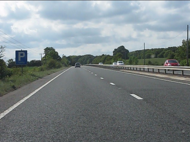
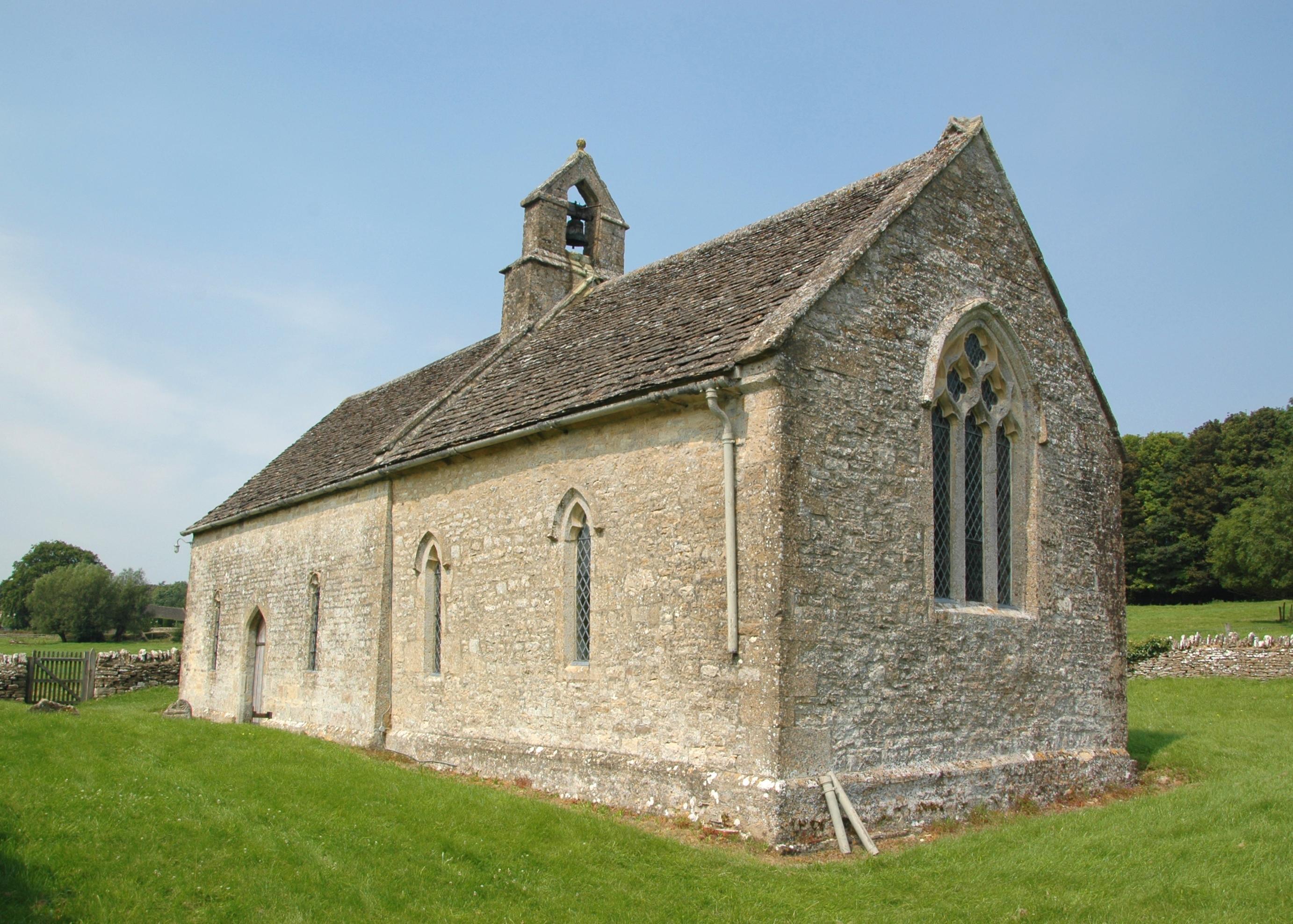
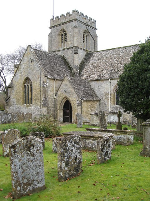
Images are sourced within 2km of 51.804345/-1.5856171 or Grid Reference SP2811. Thanks to Geograph Open Source API. All images are credited.


Chalk Hill Cover is located at Grid Ref: SP2811 (Lat: 51.804345, Lng: -1.5856171)
Administrative County: Oxfordshire
District: West Oxfordshire
Police Authority: Thames Valley
What 3 Words
///organisms.cabin.hooks. Near Minster Lovell, Oxfordshire
Nearby Locations
Related Wikis
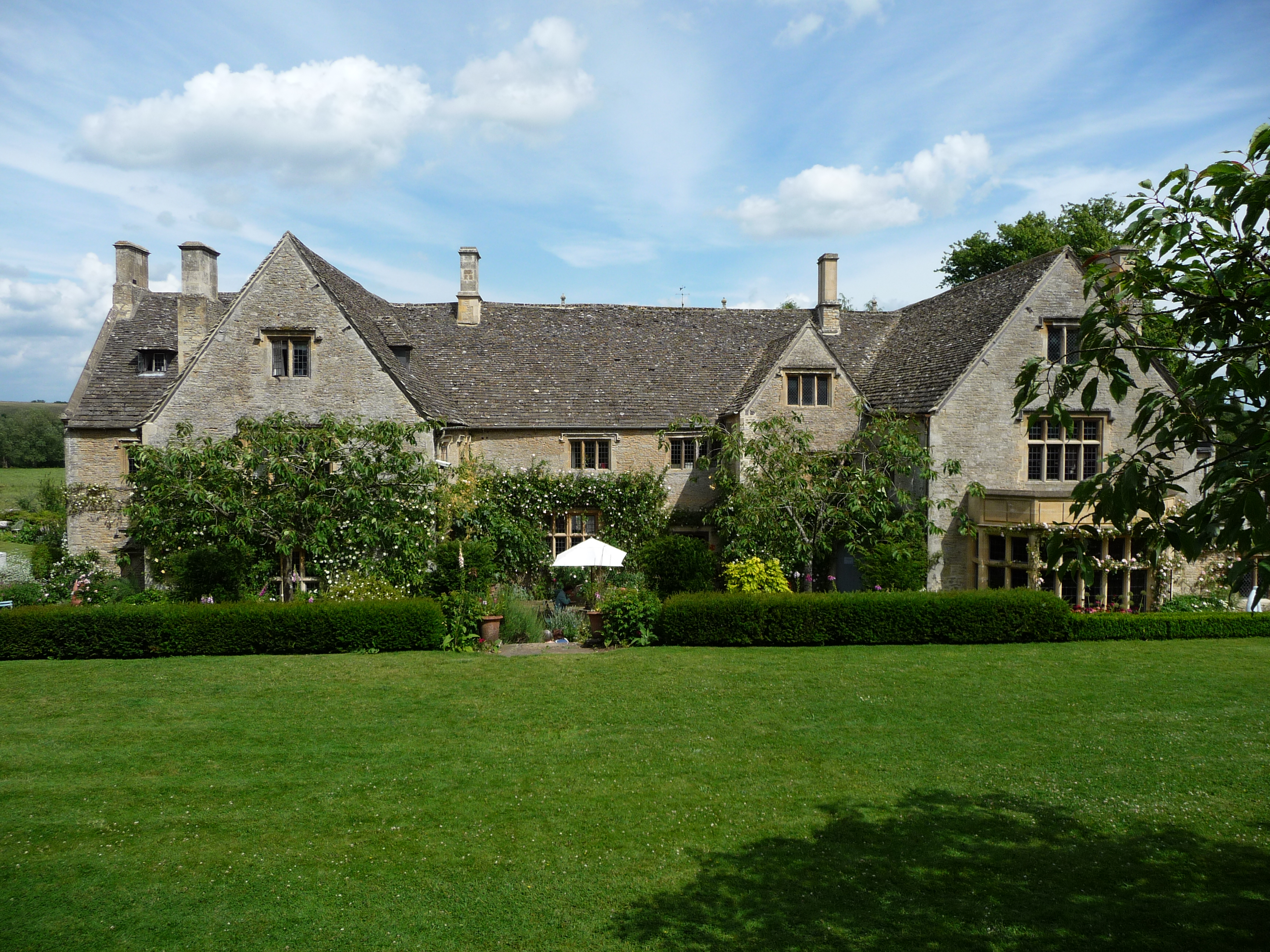
Asthall Manor
Asthall Manor is a gabled Jacobean Cotswold manor house in Asthall, Oxfordshire. It was built in about 1620 and altered and enlarged in about 1916. The...

Asthall
Asthall or Asthal is a village and civil parish on the River Windrush in Oxfordshire, about 6 miles (10 km) west of Witney. It includes the hamlets of...

Swinbrook
Swinbrook is a village and former civil parish, now in the parish of Swinbrook and Widford, in the West Oxfordshire district, in the county of Oxfordshire...
Swinbrook and Widford
Swinbrook and Widford is a civil parish in West Oxfordshire district, in the county of Oxfordshire, England. It comprises the village of Swinbrook and...
Widford, Oxfordshire
Widford is a deserted medieval village on the River Windrush about 1.5 miles (2.4 km) east of Burford in West Oxfordshire. The village was an exclave of...

Worsham, Oxfordshire
Worsham is a hamlet on the River Windrush about 3.5 miles (5.6 km) west of Witney. 0.25 miles (400 m) east of Worsham on the north side of the Windrush...

Asthall barrow
Asthall barrow is a high-status Anglo-Saxon burial mound from the seventh century AD. It is located in Asthall, Oxfordshire, and was excavated in 1923...
Minster Lovell
Minster Lovell is a village and civil parish on the River Windrush about 2+1⁄2 miles (4 km) west of Witney in Oxfordshire. The 2011 Census recorded the...
Nearby Amenities
Located within 500m of 51.804345,-1.5856171Have you been to Chalk Hill Cover?
Leave your review of Chalk Hill Cover below (or comments, questions and feedback).