Blackditch Wood
Wood, Forest in Hertfordshire East Hertfordshire
England
Blackditch Wood
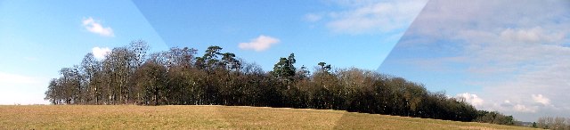
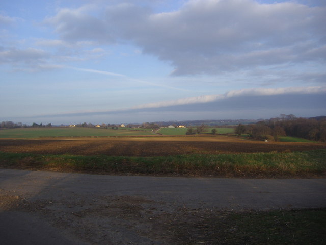
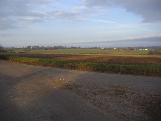
Blackditch Wood is a charming woodland located in Hertfordshire, England. Spanning over an area of approximately 100 acres, this ancient forest is known for its diverse flora and fauna, offering visitors a tranquil and picturesque escape from the hustle and bustle of everyday life.
The wood is predominantly made up of mature broadleaf trees such as oak, beech, and birch, creating a dense canopy that provides shade and shelter to numerous woodland species. The forest floor is covered with a rich carpet of bluebells, wood sorrel, and wild garlic during the spring season, adding bursts of vibrant colors to the landscape.
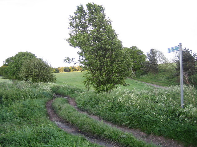
A network of well-maintained footpaths and trails crisscrosses through the wood, allowing visitors to explore its hidden corners and discover its natural beauty. The peaceful atmosphere invites walkers, hikers, and nature enthusiasts to immerse themselves in the serenity of the surroundings.
Blackditch Wood is home to a variety of wildlife, including deer, foxes, badgers, and a wide array of bird species. Birdwatchers will be delighted to spot species such as woodpeckers, nuthatches, and treecreepers, among others. Additionally, the wood provides a habitat for a diverse range of insects, butterflies, and small mammals.
The wood is managed by the local conservation authority, which ensures the preservation of its natural habitats and the protection of its wildlife. Visitors are encouraged to respect the woodland by adhering to designated trails and refraining from disturbing the flora and fauna.
Overall, Blackditch Wood offers a wonderful opportunity to connect with nature, making it a popular destination for both locals and tourists seeking a peaceful retreat in the heart of Hertfordshire.
If you have any feedback on the listing, please let us know in the comments section below.
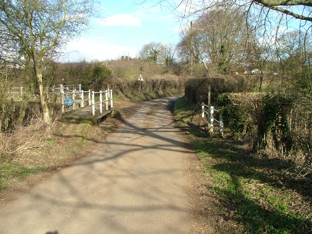
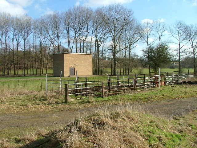
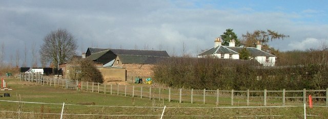
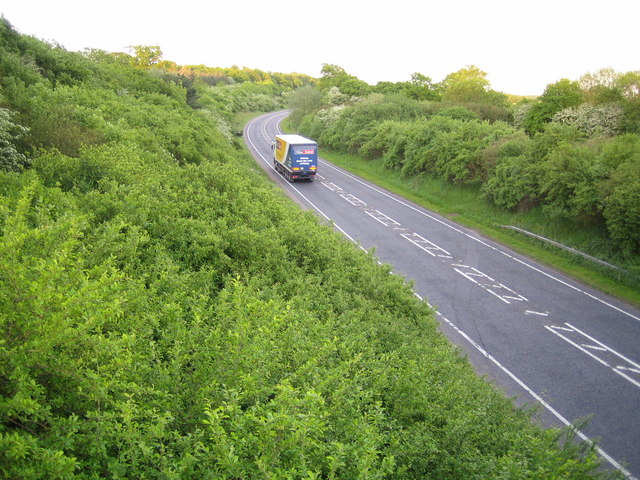
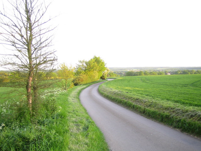
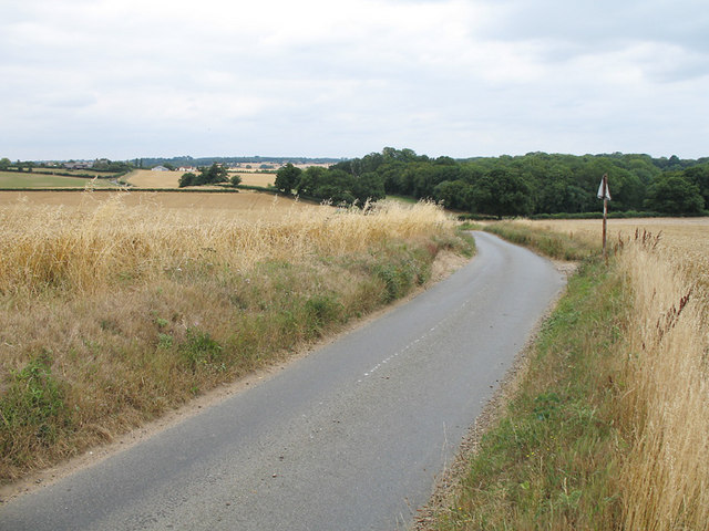
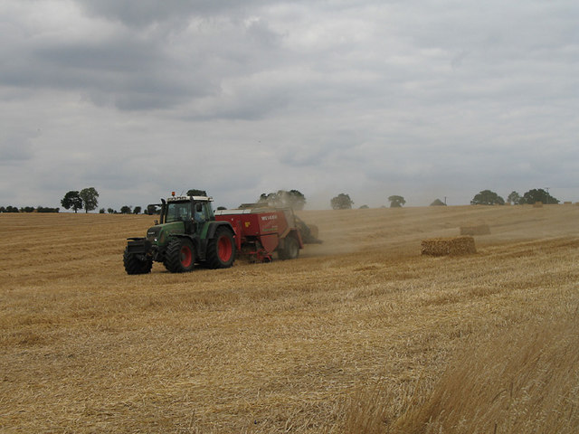
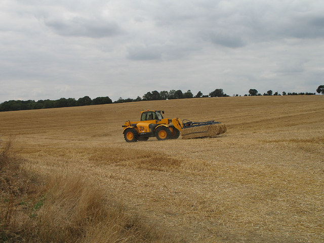
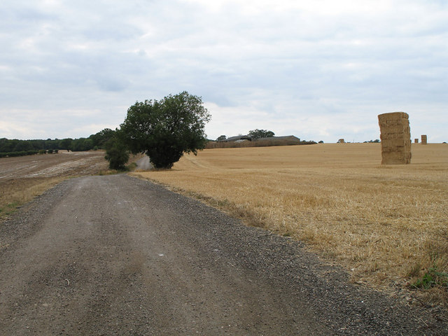
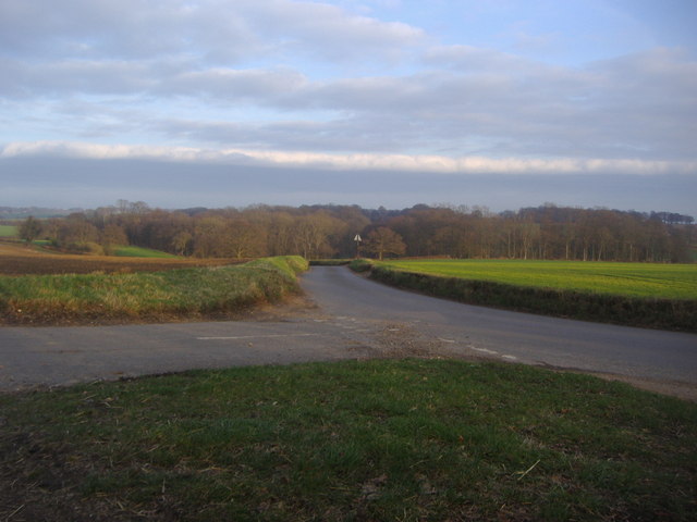
Blackditch Wood Images
Images are sourced within 2km of 51.864738/-0.11340227 or Grid Reference TL3020. Thanks to Geograph Open Source API. All images are credited.


Blackditch Wood is located at Grid Ref: TL3020 (Lat: 51.864738, Lng: -0.11340227)
Administrative County: Hertfordshire
District: East Hertfordshire
Police Authority: Hertfordshire
What 3 Words
///ended.enable.detail. Near Watton at Stone, Hertfordshire
Nearby Locations
Related Wikis
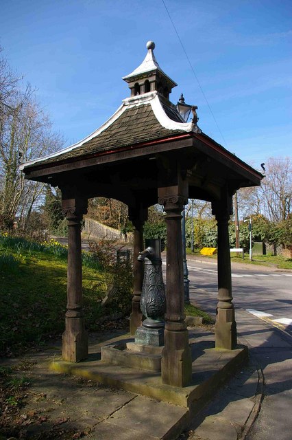
Watton-at-Stone
Watton-at-Stone is a village and civil parish in Hertfordshire, England, and is midway between the towns of Stevenage and Hertford in the valley of the...
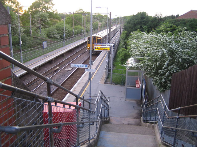
Watton-at-Stone railway station
Watton-at-Stone railway station serves the village of Watton-at-Stone in Hertfordshire, England. It is 23 miles 72 chains (23.90 miles, 38.46 km) down...

Heath Mount School
Heath Mount School is a Church of England co-educational independent prep school near Watton-at-Stone, Hertfordshire, England. It admits pupils aged 3...

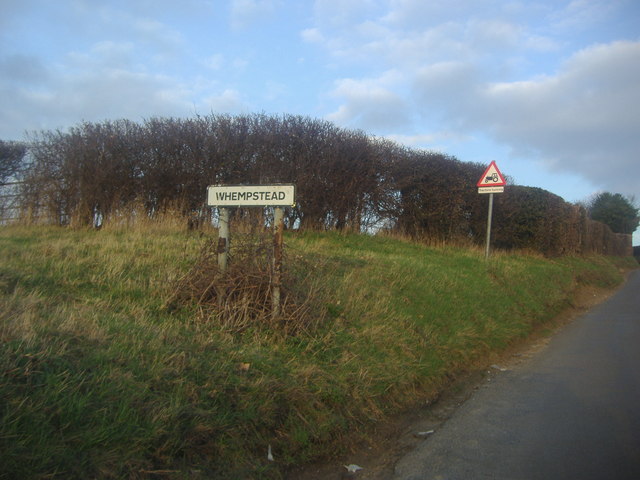
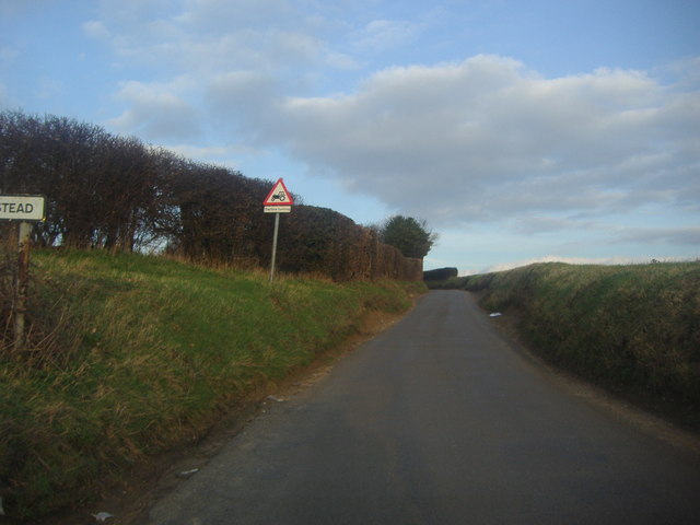
Whempstead
Whempstead is a hamlet in the parish of Watton-at-Stone, situated north of Hertford and to the south-east of Stevenage in Hertfordshire, it is close to...
Woodhall Park
Woodhall Park is a Grade I listed country house near Watton-at-Stone, Hertfordshire, England. The 18th century neo-classical building is set in a walled...

A602 road
The A602 is a road linking Hitchin in Hertfordshire, England, with A10 at Ware in Hertfordshire, via Stevenage. The course of the road has changed significantly...

Aston Bury
Aston Bury is a manor house near Aston, Hertfordshire, England. It is Grade I listed building.It was built in the mid 17th century, possibly by the Boteler...

Sacombe
Sacombe is a village and civil parish in the East Hertfordshire district, of Hertfordshire, England. At the 2001 census it had a population of 165. Sacombe...
Nearby Amenities
Located within 500m of 51.864738,-0.11340227Have you been to Blackditch Wood?
Leave your review of Blackditch Wood below (or comments, questions and feedback).