Arbury Wood
Wood, Forest in Hertfordshire East Hertfordshire
England
Arbury Wood
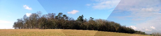
Arbury Wood is a picturesque woodland located in Hertfordshire, England. Covering an area of approximately 100 acres, it is nestled in the heart of the county, just a short drive away from the bustling town of Stevenage. The wood is part of the larger Arbury Estate, which has a rich history dating back centuries.
The woodland boasts an impressive variety of trees, including oak, beech, and silver birch, creating a diverse and vibrant ecosystem. The dense canopy provides a haven for numerous bird species, making it a popular destination for birdwatchers. In addition, the forest floor is carpeted with a plethora of wildflowers during the spring and summer months, attracting a wide array of insects and small mammals.
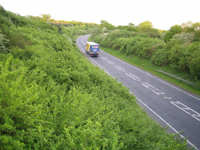
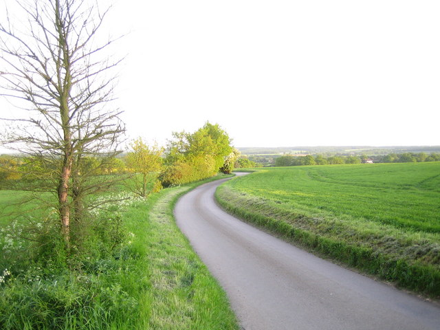
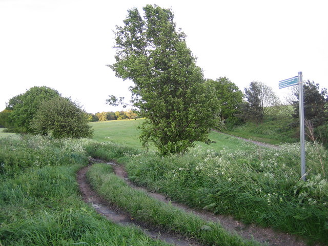
Visitors to Arbury Wood can enjoy a network of well-maintained walking trails, allowing them to explore the natural beauty of the area. The paths wind through the woodland, revealing hidden ponds and streams, adding to the tranquility and charm of the surroundings. The wood also offers a number of picnic spots, inviting visitors to relax and soak in the peaceful atmosphere.
Arbury Wood is a cherished local spot for outdoor enthusiasts, offering opportunities for walking, jogging, and wildlife observation. The woodland is managed by the local council, ensuring the conservation of its natural beauty for future generations to enjoy. Its accessibility, combined with its beauty and diverse flora and fauna, make Arbury Wood a treasured gem in Hertfordshire.
If you have any feedback on the listing, please let us know in the comments section below.
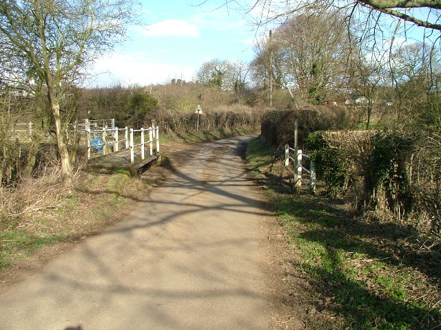
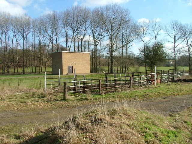
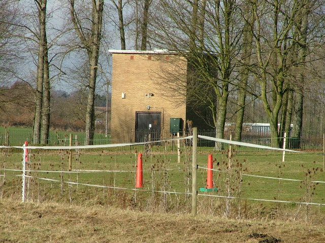
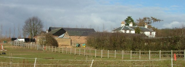
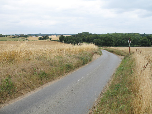
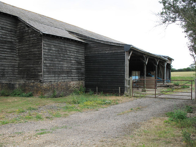
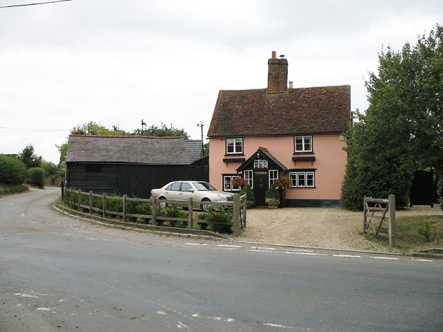
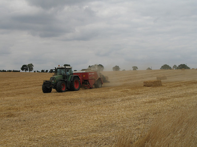
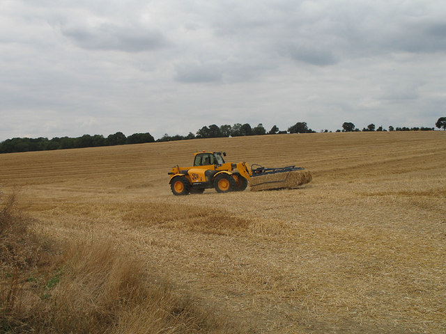
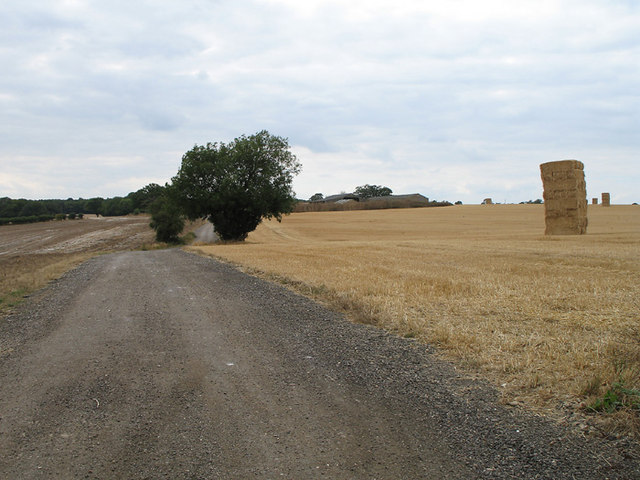
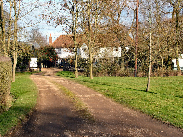
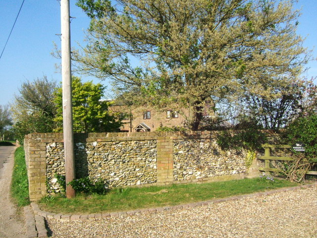
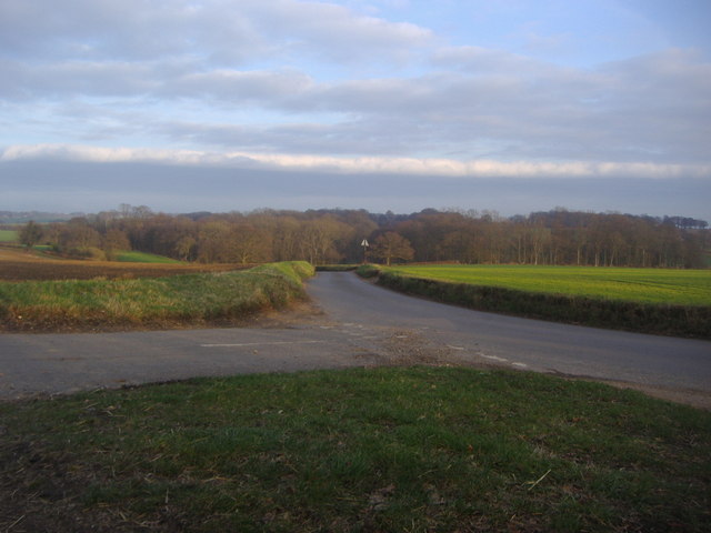
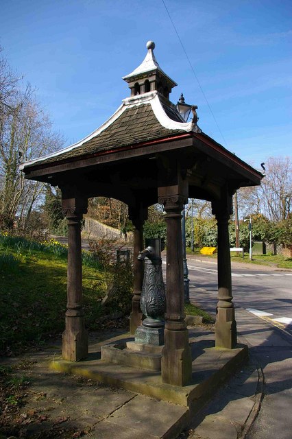
Arbury Wood Images
Images are sourced within 2km of 51.869654/-0.1104076 or Grid Reference TL3020. Thanks to Geograph Open Source API. All images are credited.

Arbury Wood is located at Grid Ref: TL3020 (Lat: 51.869654, Lng: -0.1104076)
Administrative County: Hertfordshire
District: East Hertfordshire
Police Authority: Hertfordshire
What 3 Words
///thigh.figure.loved. Near Watton at Stone, Hertfordshire
Nearby Locations
Related Wikis
Watton-at-Stone
Watton-at-Stone is a village and civil parish in Hertfordshire, England, and is midway between the towns of Stevenage and Hertford in the valley of the...
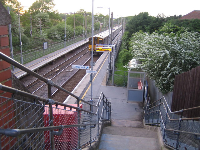
Watton-at-Stone railway station
Watton-at-Stone railway station serves the village of Watton-at-Stone in Hertfordshire, England. It is 23 miles 72 chains (23.90 miles, 38.46 km) down...

Whempstead
Whempstead is a hamlet in the parish of Watton-at-Stone, situated north of Hertford and to the south-east of Stevenage in Hertfordshire, it is close to...

Heath Mount School
Heath Mount School is a Church of England co-educational independent prep school near Watton-at-Stone, Hertfordshire, England. It admits pupils aged 3...
Woodhall Park
Woodhall Park is a Grade I listed country house near Watton-at-Stone, Hertfordshire, England. The 18th century neo-classical building is set in a walled...

Aston Bury
Aston Bury is a manor house near Aston, Hertfordshire, England. It is Grade I listed building.It was built in the mid 17th century, possibly by the Boteler...

A602 road
The A602 is a road linking Hitchin in Hertfordshire, England, with A10 at Ware in Hertfordshire, via Stevenage. The course of the road has changed significantly...

Benington, Hertfordshire
Benington is a village and civil parish in the East Hertfordshire district of Hertfordshire, England, about four miles east of Stevenage and 35 miles north...
Nearby Amenities
Located within 500m of 51.869654,-0.1104076Have you been to Arbury Wood?
Leave your review of Arbury Wood below (or comments, questions and feedback).