Gilrags Wood

Wood, Forest in Cambridgeshire South Cambridgeshire

England

Gilrags Wood

Top Farm, Croydon, Cambs View of the square from the SE to the NW corners, from the B1042 road towards Top Farm; the ridge is the Lower Chalk escarpment capped by Chalky Boulder Clay.
Top Farm, Croydon, Cambs Credit: Rodney Burton

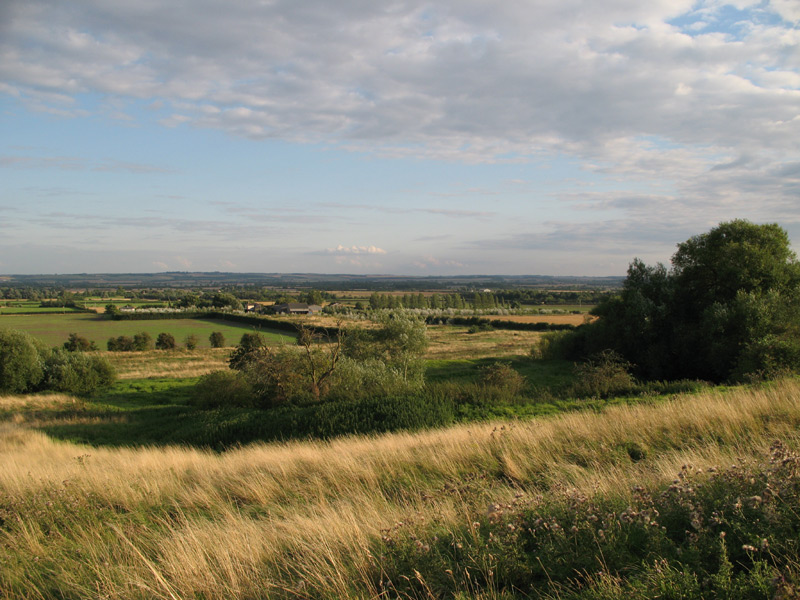
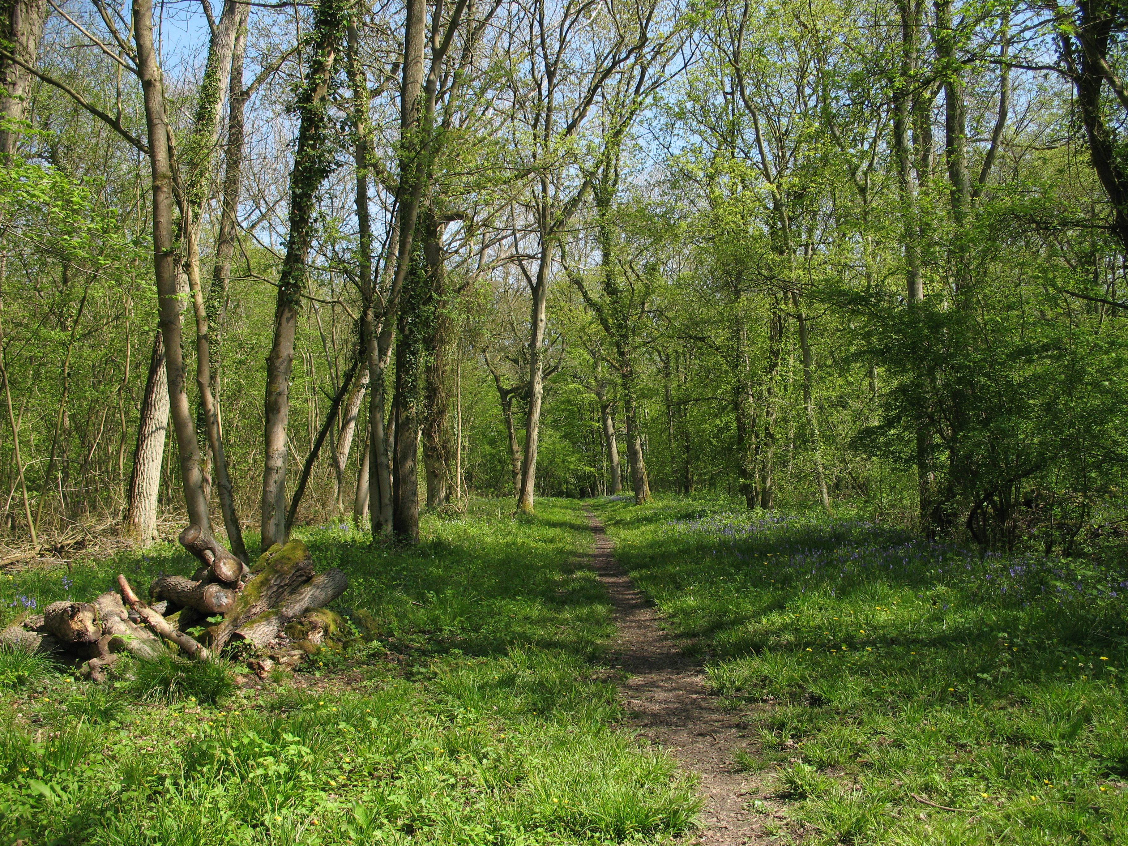
Gilrags Wood is a beautiful woodland located in the county of Cambridgeshire, England. Covering an area of approximately 50 acres, this enchanting forest is a haven for nature lovers and outdoor enthusiasts alike.

The wood boasts a diverse range of trees, including oak, ash, beech, and birch, creating a picturesque landscape that changes with the seasons. The dense vegetation provides a habitat for a variety of wildlife, including deer, foxes, badgers, and an impressive array of bird species. Birdwatchers can spot woodpeckers, owls, and a variety of songbirds within the wood's canopy.

Gilrags Wood is crisscrossed by a network of footpaths and trails, allowing visitors to explore its natural wonders at their own pace. These well-maintained paths meander through the wood, providing opportunities for peaceful walks, picnics, and recreational activities such as jogging or cycling.

The wood is a designated Site of Special Scientific Interest (SSSI) due to its ecological importance. It is home to several rare and protected species of flora and fauna, making it a vital conservation area. The management of the wood is carefully carried out to preserve its natural balance and ensure the long-term survival of these unique species.

Gilrags Wood offers a tranquil escape from the bustling city life, providing a peaceful retreat for those seeking solitude and communion with nature. Its proximity to nearby villages and towns makes it easily accessible for both locals and visitors, who can immerse themselves in the beauty of this Cambridgeshire gem.

If you have any feedback on the listing, please let us know in the comments section below.
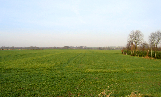
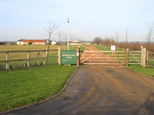
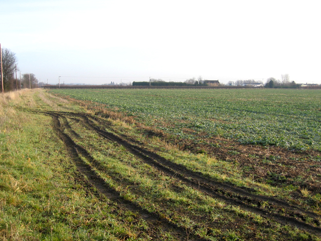
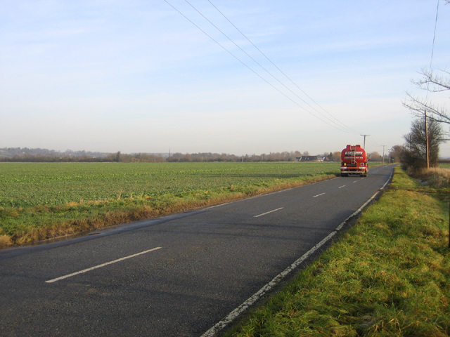
Gilrags Wood Images

Images are sourced within 2km of 52.11257/-0.1031616 or Grid Reference TL2947. Thanks to Geograph Open Source API. All images are credited.

Top Farm, Croydon, Cambs View of the square from the SE to the NW corners, from the B1042 road towards Top Farm; the ridge is the Lower Chalk escarpment capped by Chalky Boulder Clay.
Top Farm, Croydon, Cambs
View of the square from the SE to the NW corners, from the B1042 road towards Top Farm; the ridge is the Lower Chalk escarpment capped by Chalky Boulder Clay.
Cam valley, Guilden Morden, Cambs view NW from Fleck's Lane across acres of winter wheat towards Tadlow in the distance.
Cam valley, Guilden Morden, Cambs
view NW from Fleck's Lane across acres of winter wheat towards Tadlow in the distance.
Watching you, watching me – hi-tech farm entrance.
Watching you, watching me
– hi-tech farm entrance.
B1042 Lower Road, Tadlow, Cambs view E from the junction with the High Street; once a bumpy road on shrink-swell clay soil but cured by road re-laying, though the warning sign remains.
B1042 Lower Road, Tadlow, Cambs
view E from the junction with the High Street; once a bumpy road on shrink-swell clay soil but cured by road re-laying, though the warning sign remains.
Downing House, Lower Road, Croydon, Cambs Formerly the Downing Arms but generally known as 'The Scratching Cat', this public house is now a private residence. It held an almost continuous licence from 1827 until closing in August 1995, apart from a period during 1970–71, when it changed its status from that of a tied house to become a freehouse.
Downing House, Lower Road, Croydon, Cambs
Formerly the Downing Arms but generally known as 'The Scratching Cat', this public house is now a private residence. It held an almost continuous licence from 1827 until closing in August 1995, apart from a period during 1970–71, when it changed its status from that of a tied house to become a freehouse.
Young sycamore beside Lower Road, Croydon, Cambs Rape stubble extends towards the River Cam in the distance.
Young sycamore beside Lower Road, Croydon, Cambs
Rape stubble extends towards the River Cam in the distance.
Bridleway towards the site of Clapton village.
Driveway to Bridge Farm
Ditch near Top Farm, Croydon, Cambridgeshire The photographer's shadow can just be seen at the bottom.
Ditch near Top Farm, Croydon, Cambridgeshire
The photographer's shadow can just be seen at the bottom.
Bridleway to Guilden Morden At the end of the main street, a public bridleway leads to Guilden Morden, 1¾ miles away.
Bridleway to Guilden Morden
At the end of the main street, a public bridleway leads to Guilden Morden, 1¾ miles away.
The old turnpike Toll Bar cottage, Croydon, Cambs – on the B1042 at the Shingay-cum-Wendy junction.
The old turnpike Toll Bar cottage, Croydon, Cambs
– on the B1042 at the Shingay-cum-Wendy junction.
Clopton deserted medieval village, Cambs deserted during the early 16th century now only earthwork traces of the village layout exist terraced into the hillside –  <span class="nowrap"><a title="http://www.cambridgeshire.gov.uk/leisure/archaeology/outreach/sites/site_southcambs.htm" rel="nofollow ugc noopener" href="http://www.cambridgeshire.gov.uk/leisure/archaeology/outreach/sites/site_southcambs.htm">Link</a><img style="margin-left:2px;" alt="External link" title="External link - shift click to open in new window" src="https://s1.geograph.org.uk/img/external.png" width="10" height="10"/></span>
Clopton deserted medieval village, Cambs
deserted during the early 16th century now only earthwork traces of the village layout exist terraced into the hillside – LinkExternal link
Farmland view, Wendy, Cambs beside the road to Shingay looking SW along the Cam valley.
Farmland view, Wendy, Cambs
beside the road to Shingay looking SW along the Cam valley.
View NW across the Cam valley, Shingay, Cambs
Shingay village, Cambs from across the fields to the W.
Shingay village, Cambs
from across the fields to the W.
The road to Wendy, Cambs view NE along the Cam valley.
The road to Wendy, Cambs
view NE along the Cam valley.
Panorama of Clopton medieval village from the north Well worth the 1/3 mile walk from the parking place to visit and spend a while.  <span class="nowrap"><a title="http://www.cambridgeshire.gov.uk/leisure/archaeology/outreach/sites/site_southcambs.htm" rel="nofollow ugc noopener" href="http://www.cambridgeshire.gov.uk/leisure/archaeology/outreach/sites/site_southcambs.htm">Link</a><img style="margin-left:2px;" alt="External link" title="External link - shift click to open in new window" src="https://s1.geograph.org.uk/img/external.png" width="10" height="10"/></span>
Panorama of Clopton medieval village from the north
Well worth the 1/3 mile walk from the parking place to visit and spend a while. LinkExternal link
Croydon Hill
Croydon Hill
Show me another place!

Gilrags Wood is located at Grid Ref: TL2947 (Lat: 52.11257, Lng: -0.1031616)

Administrative County: Cambridgeshire

District: South Cambridgeshire

Police Authority: Cambridgeshire

What 3 Words

///jetted.ethic.noon. Near Bassingbourn, Cambridgeshire

Related Wikis

Shingay Preceptory

Shingay Preceptory was a Knights Hospitaller priory at Shingay in Cambridgeshire, England. It was established in 1144. The moated site is a scheduled ancient...

Shingay

Shingay is a hamlet and former civil parish, now in the parish of Shingay cum Wendy, in the South Cambridgeshire district, in the county of Cambridgeshire...

Shingay cum Wendy

Shingay cum Wendy is a civil parish in the English county of Cambridgeshire, around 5 miles (8 km) north west of Royston. Forming part of the district...

Clopton, Cambridgeshire

Clopton is a deserted medieval village (DMV), about 1 mile (1.6 km) south west of the village of Croydon, Cambridgeshire, that once stood on a prominent...

Tadlow

Tadlow is a small village and civil parish in South Cambridgeshire, England on the River Cam (or Rhee). It is 20 kilometres (12 mi) south-west of Cambridge...

Wendy, Cambridgeshire

Wendy is a hamlet and former civil parish, now in the parish of Shingay cum Wendy, in the South Cambridgeshire district, in the county of Cambridgeshire...

Croydon, Cambridgeshire

Croydon is a small village and civil parish in South Cambridgeshire, England. It is 10 miles (16 km) south-west of Cambridge and immediately west of the...

Buff Wood

Buff Wood is a 15.8-hectare (39-acre) biological Site of Special Scientific Interest in Hatley in Cambridgeshire. It is managed by the Wildlife Trust for...

Nearby Amenities

Located within 500m of 52.11257,-0.1031616
Power: pole
Lat/Long: 52.113203/-0.1103895
Power: pole
Lat/Long: 52.1135094/-0.108694
Power: pole
Lat/Long: 52.1137943/-0.1070256
Power: pole
Lat/Long: 52.1140364/-0.1054511
Power: pole
Lat/Long: 52.1142776/-0.1040568
Power: pole
Lat/Long: 52.1153179/-0.0979277
Power: pole
Lat/Long: 52.1145124/-0.1026349
Power: pole
Lat/Long: 52.1147743/-0.1010872
Power: pole
Lat/Long: 52.1150641/-0.0995316
The data included in this document is from www.openstreetmap.org. The data is made available under ODbL.

Have you been to Gilrags Wood?

Leave your review of Gilrags Wood below (or comments, questions and feedback).