Banks Wood
Wood, Forest in Sussex Mid Sussex
England
Banks Wood
Banks Wood, located in Sussex, England, is a picturesque forest that covers an area of approximately 100 acres. It is a part of the High Weald Area of Outstanding Natural Beauty, known for its stunning landscapes and rich biodiversity. The wood is situated near the village of Crowborough and is easily accessible to visitors.
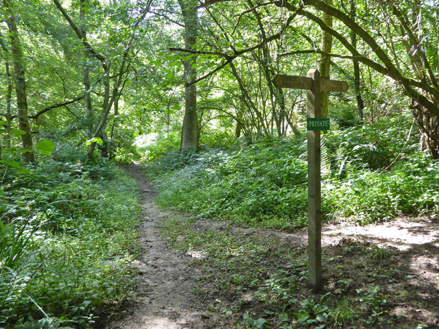
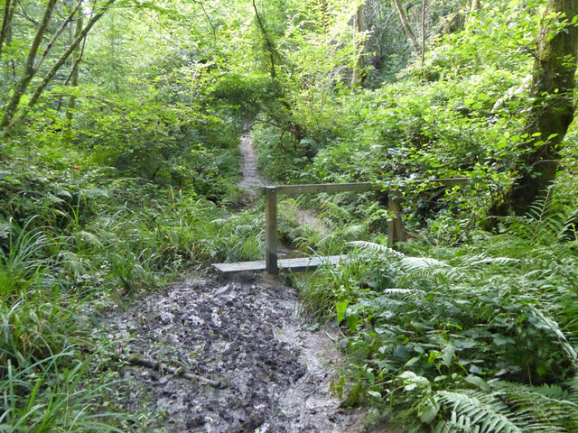
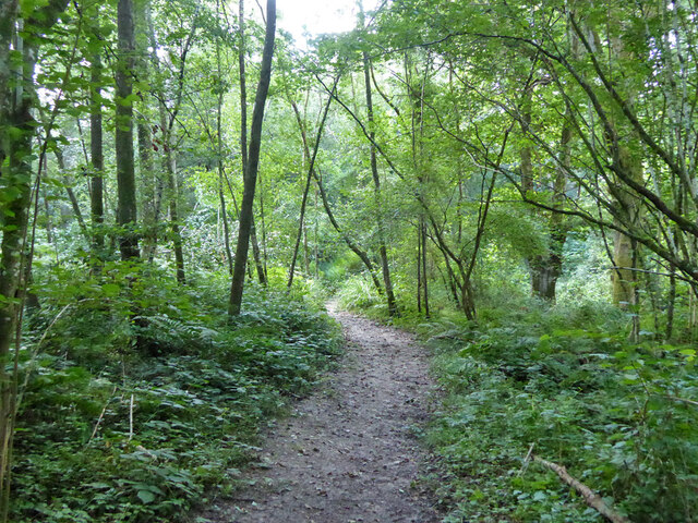
Banks Wood is predominantly composed of oak and beech trees, which create a dense canopy that filters sunlight and provides a cool and tranquil atmosphere. The forest floor is covered with a thick layer of leaf litter, creating a soft carpet underfoot and providing a habitat for a variety of small animals and insects.
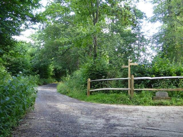
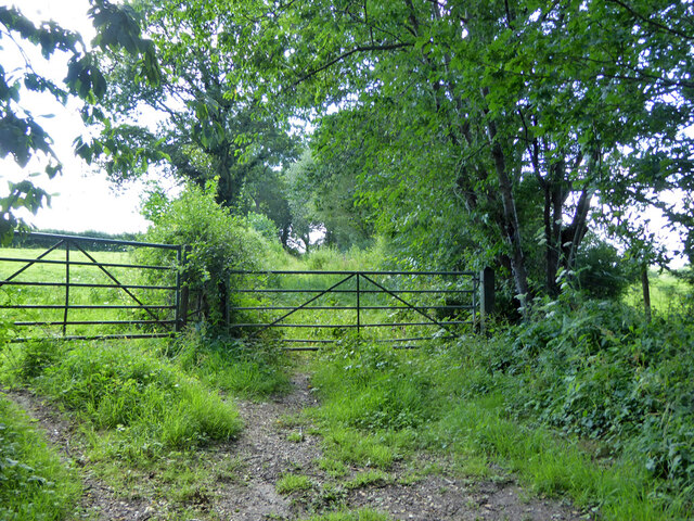
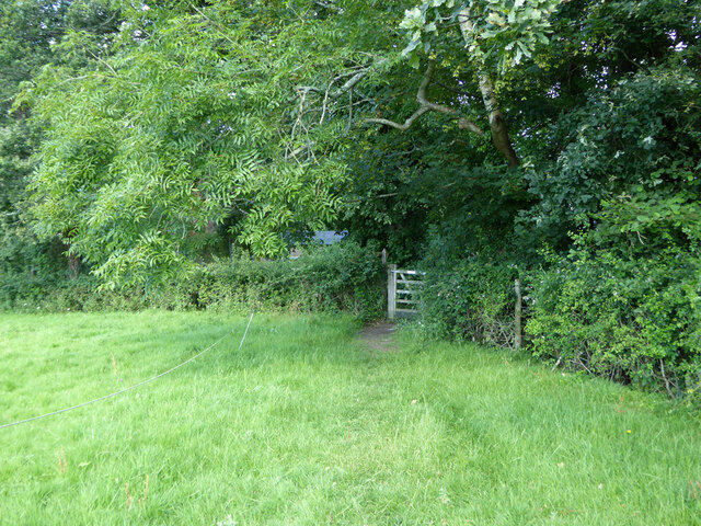
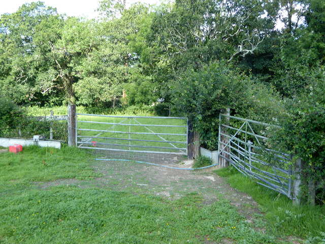
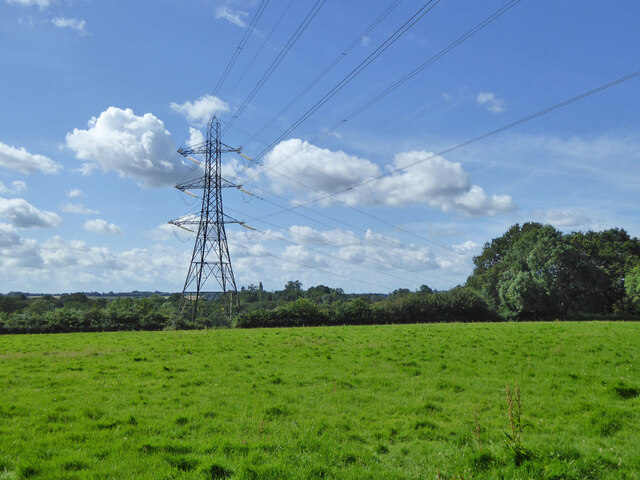
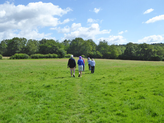
The wood is crisscrossed with a network of well-maintained footpaths, allowing visitors to explore the area at their own pace. It is a popular destination for walkers, joggers, and nature enthusiasts who come to enjoy the peaceful surroundings and observe the diverse wildlife.
Wildflowers bloom in abundance during the spring and summer months, adding bursts of color to the greenery. Bluebells, primroses, and foxgloves are amongst the many species that can be found here. Birdwatchers are also drawn to Banks Wood, as it is home to a wide range of avian species, including woodpeckers, nuthatches, and tawny owls.
The wood is well-maintained by local authorities, ensuring that it remains a haven of tranquility and natural beauty. Visitors to Banks Wood can expect a peaceful and immersive experience in the heart of Sussex's stunning countryside.
If you have any feedback on the listing, please let us know in the comments section below.
Banks Wood Images
Images are sourced within 2km of 51.057766/-0.15322562 or Grid Reference TQ2930. Thanks to Geograph Open Source API. All images are credited.


Banks Wood is located at Grid Ref: TQ2930 (Lat: 51.057766, Lng: -0.15322562)
Administrative County: West Sussex
District: Mid Sussex
Police Authority: Sussex
What 3 Words
///reminder.triangle.swoop. Near Balcombe, West Sussex
Nearby Locations
Related Wikis

Brantridge Park
Brantridge Park, Balcombe, West Sussex, England is a 19th-century country house, formerly one of the lesser royal residences. It is a Grade II listed building...
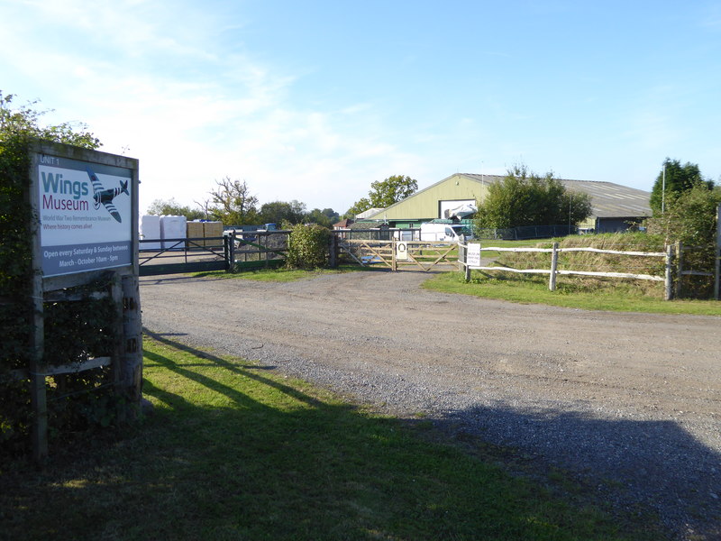
Wings Museum
The Wings Museum is an aviation museum located in Sussex, United Kingdom. It is housed in a 12,000 square feet (1,100 m2) hangar-like former farm building...

Balcombe railway station
Balcombe railway station is on the Brighton Main Line in England, serving the village of Balcombe, West Sussex. It is 33 miles 64 chains (54.4 km) down...
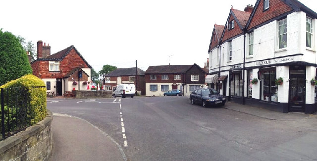
Balcombe
Balcombe is a village and civil parish in the Mid Sussex District of West Sussex, England. It lies 31 miles (50 km) south of London, 16 miles (26 km) north...
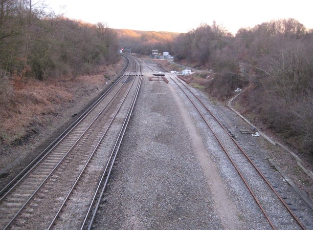
Balcombe tunnel
Balcombe tunnel is a railway tunnel on the Brighton Main Line through the Sussex Weald between Three Bridges and Balcombe. It is 1,034 metres (1,131 yards...
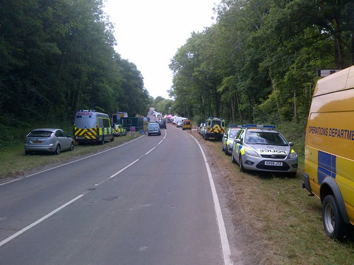
Balcombe drilling protest
The Balcombe drilling protest occurred when test drilling and possible fracking for petroleum were proposed in 2012 near Balcombe, a village in West Sussex...

Tyes Place
Tyes Place is a listed historic manor house in Staplefield, West Sussex, England. It was once a farm, then in the first half of the 20th century it was...

Cow Wood and Harry's Wood
Cow Wood and Harry's Wood is a 75.5-hectare (187-acre) biological Site of Special Scientific Interest east of Handcross in West Sussex. it is in the High...
Nearby Amenities
Located within 500m of 51.057766,-0.15322562Have you been to Banks Wood?
Leave your review of Banks Wood below (or comments, questions and feedback).