Ashen Wood
Wood, Forest in Sussex Mid Sussex
England
Ashen Wood
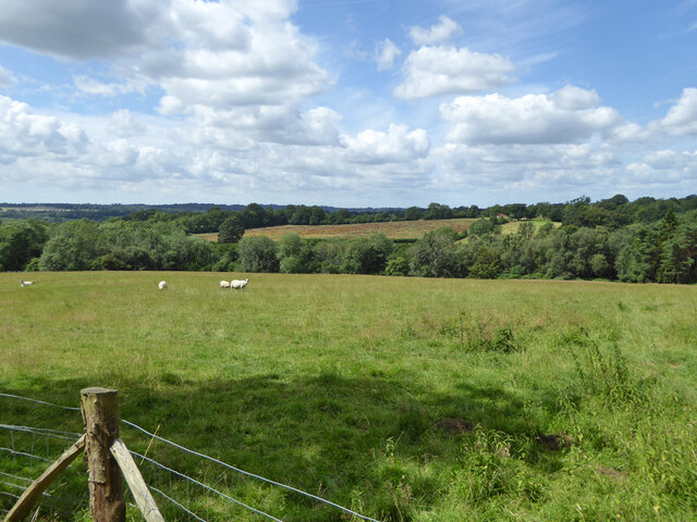
Ashen Wood, located in Sussex, England, is a picturesque forest that spans over a vast area of land. Known for its dense vegetation, towering trees, and tranquil ambiance, this woodland is a popular destination for nature enthusiasts and hikers seeking a peaceful escape from city life.
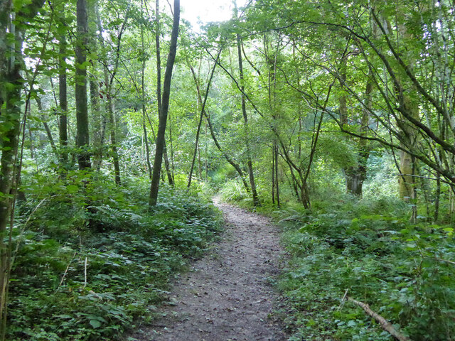
The forest is primarily composed of a variety of deciduous trees, including oak, beech, and ash, which give the wood its name. These trees create a lush canopy that filters sunlight, creating a cool and shaded atmosphere below. The forest floor is covered in a thick carpet of moss, ferns, and wildflowers, adding to the enchanting beauty of the woodland.
Ashen Wood is also home to a diverse range of wildlife. Visitors may catch glimpses of deer, foxes, rabbits, and various species of birds, including woodpeckers and owls. The forest provides a natural habitat for these creatures, offering them food and shelter.
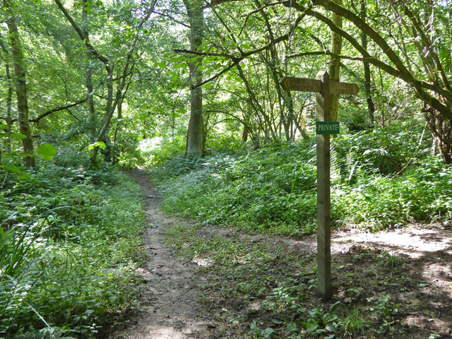
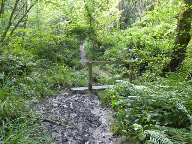
The forest is crisscrossed by a network of walking paths and trails, making it easily accessible to visitors. These trails lead adventurers through the heart of the wood, providing opportunities to explore its hidden corners and discover its hidden wonders. Along the way, hikers may stumble upon babbling brooks, small ponds, and even ancient ruins, adding a sense of mystery and history to their journey.
Ashen Wood is a true gem of Sussex, offering a serene and enchanting experience for those who venture into its depths.
If you have any feedback on the listing, please let us know in the comments section below.
Ashen Wood Images
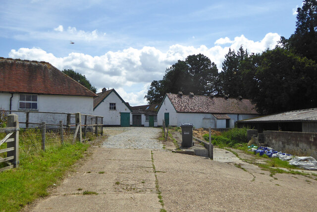
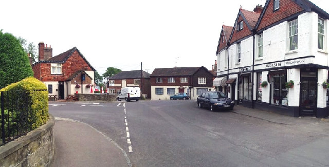
Images are sourced within 2km of 51.058107/-0.1486456 or Grid Reference TQ2930. Thanks to Geograph Open Source API. All images are credited.


Ashen Wood is located at Grid Ref: TQ2930 (Lat: 51.058107, Lng: -0.1486456)
Administrative County: West Sussex
District: Mid Sussex
Police Authority: Sussex
What 3 Words
///wades.moment.illogical. Near Balcombe, West Sussex
Nearby Locations
Related Wikis

Balcombe railway station
Balcombe railway station is on the Brighton Main Line in England, serving the village of Balcombe, West Sussex. It is 33 miles 64 chains (54.4 km) down...
Balcombe
Balcombe is a village and civil parish in the Mid Sussex District of West Sussex, England. It lies 31 miles (50 km) south of London, 16 miles (26 km) north...

Brantridge Park
Brantridge Park, Balcombe, West Sussex, England is a 19th-century country house, formerly one of the lesser royal residences. It is a Grade II listed building...
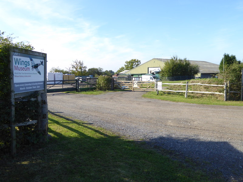
Wings Museum
The Wings Museum is an aviation museum located in Sussex, United Kingdom. It is housed in a 12,000 square feet (1,100 m2) hangar-like former farm building...
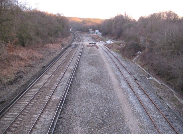
Balcombe tunnel
Balcombe tunnel is a railway tunnel on the Brighton Main Line through the Sussex Weald between Three Bridges and Balcombe. It is 1,034 metres (1,131 yards...
Balcombe drilling protest
The Balcombe drilling protest occurred when test drilling and possible fracking for petroleum were proposed in 2012 near Balcombe, a village in West Sussex...

Tyes Place
Tyes Place is a listed historic manor house in Staplefield, West Sussex, England. It was once a farm, then in the first half of the 20th century it was...

Worth Forest
Worth Forest is a 43.8-hectare (108-acre) biological Site of Special Scientific Interest south of Crawley in West Sussex. It is in the High Weald Area...
Nearby Amenities
Located within 500m of 51.058107,-0.1486456Have you been to Ashen Wood?
Leave your review of Ashen Wood below (or comments, questions and feedback).