Rushypit Wood

Wood, Forest in Sussex Mid Sussex

England

Rushypit Wood

Sussex Way, Burgess Hill Built in the late 1980s to connect London Road with the old junction of West Street, Gatehouse Lane and Royal George Road and thus all the new estates that have sprung up in this part of the town. During the 90s the northern section was made part of the new bypass.
Sussex Way, Burgess Hill Credit: Simon Carey

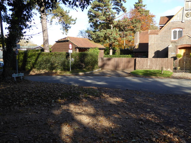
Rushypit Wood is a picturesque woodland situated in the county of Sussex, England. Covering an area of approximately 50 acres, it is known for its rich biodiversity and stunning natural beauty. The wood is located near the village of Rushypit, which is nestled in the heart of the Sussex countryside.

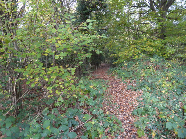
The wood is predominantly made up of tall, mature trees, including oak, beech, and birch. These trees provide a dense canopy that filters sunlight, creating a cool and tranquil atmosphere within the wood. The forest floor is carpeted with a variety of wildflowers and ferns, adding to the enchanting ambiance.

Rushypit Wood is home to a diverse range of wildlife, making it a haven for nature lovers and wildlife enthusiasts. Birdwatchers can spot a plethora of species, such as woodpeckers, owls, and various songbirds. The wood also provides habitat for mammals like foxes, badgers, and deer, which can occasionally be spotted by lucky visitors.

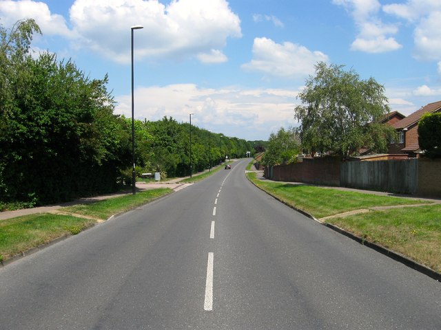
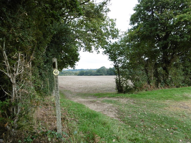
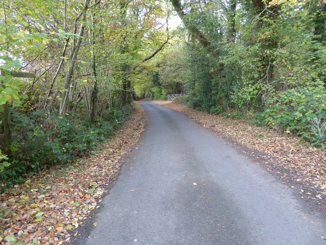
The wood is crisscrossed by a network of footpaths, allowing visitors to explore its beauty and immerse themselves in nature. The peacefulness of the wood makes it an ideal spot for leisurely walks, picnics, and photography.

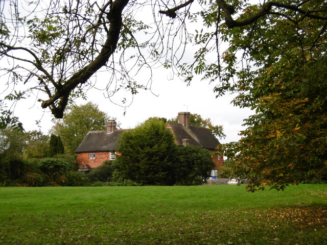
Rushypit Wood is also steeped in history, with traces of ancient human habitation found throughout the wood. Archaeological evidence suggests that the wood was utilized by early settlers, and there are remnants of old structures and pathways that were once part of their daily lives.

Overall, Rushypit Wood offers a serene escape from the hustle and bustle of modern life, providing a sanctuary for both wildlife and humans alike.

If you have any feedback on the listing, please let us know in the comments section below.

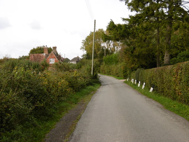
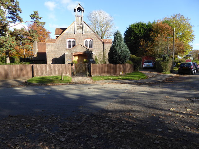
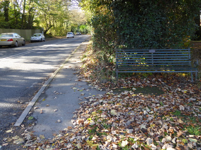
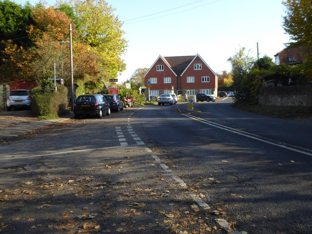
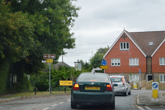
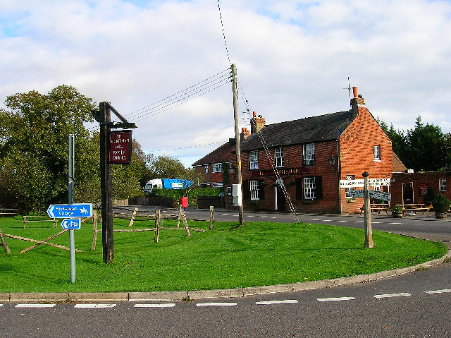
Rushypit Wood Images

Images are sourced within 2km of 50.979926/-0.15637278 or Grid Reference TQ2921. Thanks to Geograph Open Source API. All images are credited.

Sussex Way, Burgess Hill Built in the late 1980s to connect London Road with the old junction of West Street, Gatehouse Lane and Royal George Road and thus all the new estates that have sprung up in this part of the town. During the 90s the northern section was made part of the new bypass.
Sussex Way, Burgess Hill
Built in the late 1980s to connect London Road with the old junction of West Street, Gatehouse Lane and Royal George Road and thus all the new estates that have sprung up in this part of the town. During the 90s the northern section was made part of the new bypass.
The village sign at Ansty Some relatively recent maps spell Ansty with an 'e' on the end.
The village sign at Ansty
Some relatively recent maps spell Ansty with an 'e' on the end.
House to the east of Ansty This fine house is seen from a footpath leading east from Ansty to Furnace Wood.
House to the east of Ansty
This fine house is seen from a footpath leading east from Ansty to Furnace Wood.
The footpath turns left here It then turns right again just beyond the hedge on the left before heading to Furnace Wood in the distance.
The footpath turns left here
It then turns right again just beyond the hedge on the left before heading to Furnace Wood in the distance.
Deak's Lane This is just north of Ansty before countryside is reached.
Deak's Lane
This is just north of Ansty before countryside is reached.
Leigh Mill A derelict Water Mill, the remains of which have now been cleared away.
Leigh Mill
A derelict Water Mill, the remains of which have now been cleared away.
Leigh Mill In a state of collapse, now dismantled and cleared away.
Leigh Mill
In a state of collapse, now dismantled and cleared away.
"St John's" on Deak's Lane See <a title="https://www.geograph.org.uk/photo/4195839" href="https://www.geograph.org.uk/photo/4195839">Link</a> from 2014 for more information.
"St John's" on Deak's Lane
See Link from 2014 for more information.
Looking westwards on Bolney Road There is a commemorative bench in the foreground.
Looking westwards on Bolney Road
There is a commemorative bench in the foreground.
Houses at the mini roundabout in Ansty The road is the A272.  See <a title="https://www.geograph.org.uk/photo/4297403" href="https://www.geograph.org.uk/photo/4297403">Link</a> for information on the history of this site.  Both houses sport a green cross.
Houses at the mini roundabout in Ansty
The road is the A272. See Link for information on the history of this site. Both houses sport a green cross.
The southern end of Deak's Lane
Looking north on Bishopstone Lane from bridleway junction
Pink's Lane This bridleway connects Bishopstone Lane and Bolney Road.
Pink's Lane
This bridleway connects Bishopstone Lane and Bolney Road.
Ansty Pressure Reducing Station See also <a title="https://www.geograph.org.uk/photo/1784219" href="https://www.geograph.org.uk/photo/1784219">Link</a> from 2010.
Ansty Pressure Reducing Station
See also Link from 2010.
Pink's Corner on Bishopstone Road
A272, Ansty The A272 is a very rural A road, which follows an east to west route from near Heathfield to Winchester, passing through the Sussex countryside. It runs 86 miles from Sutton Scotney to Five Ashes <a href="https://www.geograph.org.uk/photo/6669405">TQ5523 : A267, A272 junction</a>.
<span class="nowrap"><a title="http://www.sabre-roads.org.uk/wiki/index.php?title=A272" rel="nofollow ugc noopener" href="http://www.sabre-roads.org.uk/wiki/index.php?title=A272">Link</a><img style="margin-left:2px;" alt="External link" title="External link - shift click to open in new window" src="https://s1.geograph.org.uk/img/external.png" width="10" height="10"/></span> 
Wikipedia: <span class="nowrap"><a title="http://en.wikipedia.org/wiki/A272_road" rel="nofollow ugc noopener" href="http://en.wikipedia.org/wiki/A272_road">Link</a><img style="margin-left:2px;" alt="External link" title="External link - shift click to open in new window" src="https://s1.geograph.org.uk/img/external.png" width="10" height="10"/></span>
A272, Ansty
The A272 is a very rural A road, which follows an east to west route from near Heathfield to Winchester, passing through the Sussex countryside. It runs 86 miles from Sutton Scotney to Five Ashes TQ5523 : A267, A272 junction. LinkExternal link Wikipedia: LinkExternal link
Drive to Southern Water premises at Goddard Green Shame about the rubbish beneath the notice concerning protection of the environment.
Drive to Southern Water premises at Goddard Green
Shame about the rubbish beneath the notice concerning protection of the environment.
Looking north on Cuckfield Road from drive
Show me another place!

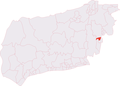
Rushypit Wood is located at Grid Ref: TQ2921 (Lat: 50.979926, Lng: -0.15637278)

Administrative County: West Sussex

District: Mid Sussex

Police Authority: Sussex

What 3 Words

///cling.kinds.models. Near Burgess Hill, West Sussex

Nearby Locations

Rushypit Wood

Related Wikis

St Paul's Catholic College

St Paul's Catholic College is a mixed-sex Roman Catholic secondary school and sixth form located in Burgess Hill, West Sussex, England. == History == The...
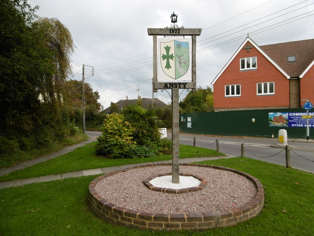
Ansty, West Sussex

Ansty is a village in the Mid Sussex district of West Sussex, England. It lies on the A272 road 1.4 miles (2.2 km) southwest of Cuckfield. It is in the...

The Dene Hospital

The Dene Hospital is a private hospital in Gatehouse Lane, Goddards Green, West Sussex, England. It is managed by the Priory Group. == History == The original...

Goddards Green, West Sussex

Goddards Green (Goddards' Green on Ordnance Survey maps) is a hamlet in the Mid Sussex District of West Sussex, England. It is in the civil parish of Hurstpierpoint...

Burgess Hill Town (electoral division)

Burgess Hill Town is an electoral division of West Sussex in the United Kingdom, and returns one member to sit on West Sussex County Council. == Extent... ==

Burgess Hill RFC

Burgess Hill Rugby Football Club or BHRFC, known as the Sussex All Blacks, is a rugby union club in Sussex, England. The team currently fields a 1st XV...

Abbotsford, West Sussex

Abbotsford is a settlement in West Sussex, England. Although once of a distinct identity, the name is now rarely used to describe the area and it would...

Bedelands Farm Nature Reserve

Bedelands Farm Nature Reserve is a 35.2-hectare (87-acre) Local Nature Reserve on the northern outskirts of Burgess Hill in West Sussex. It is owned and...

Nearby Amenities

Located within 500m of 50.979926,-0.15637278
Power: tower
Lat/Long: 50.9814041/-0.1617662
Power: tower
Lat/Long: 50.9809646/-0.1565378
Power: tower
Lat/Long: 50.980501/-0.1513527
The data included in this document is from www.openstreetmap.org. The data is made available under ODbL.

Have you been to Rushypit Wood?

Leave your review of Rushypit Wood below (or comments, questions and feedback).