Newer Copse
Wood, Forest in Sussex Mid Sussex
England
Newer Copse
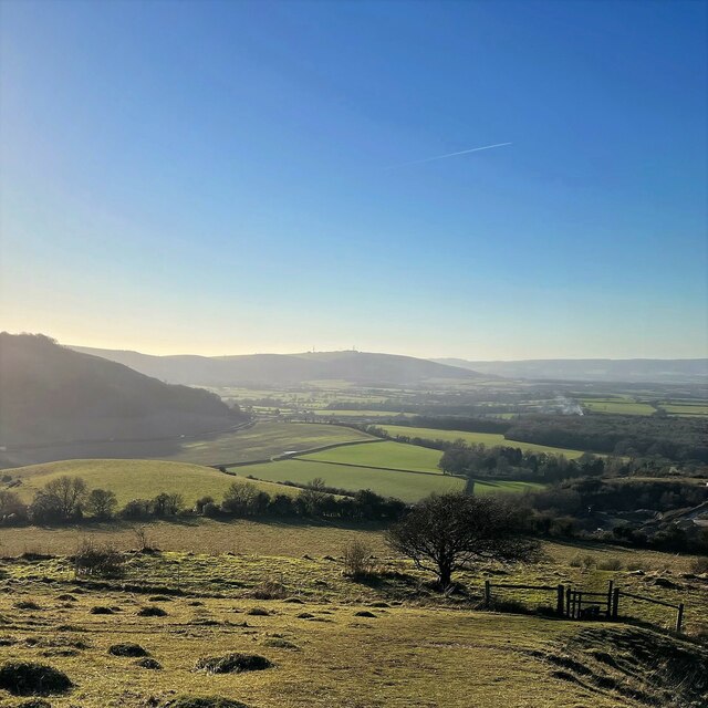
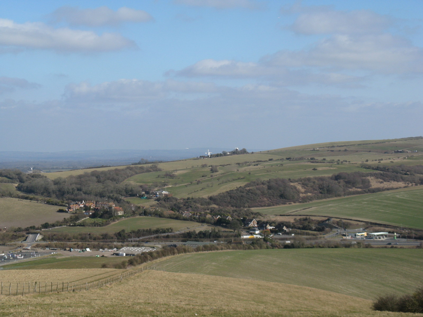
Newer Copse is a picturesque woodland located in the county of Sussex, England. Situated in the heart of the South Downs National Park, this serene forest covers an area of approximately 50 acres and is a popular destination for nature enthusiasts, hikers, and wildlife lovers.
The woodland is characterized by its diverse range of tree species, including oak, beech, and birch, which create a dense and verdant canopy overhead. The forest floor is adorned with a vibrant carpet of wildflowers such as bluebells, primroses, and wood anemones during the spring season, making it a truly enchanting sight.
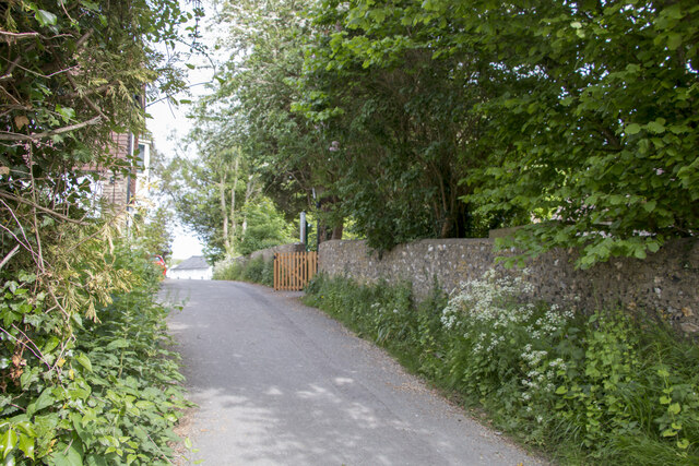
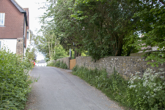
Newer Copse offers a network of well-maintained trails that wind through the woodland, allowing visitors to explore its natural beauty at their own pace. These paths provide an opportunity to spot a variety of wildlife, including deer, foxes, badgers, and a wide array of bird species, making it a haven for birdwatchers.
The forest also boasts a small stream that meanders through its heart, adding to the tranquil ambiance of the surroundings. Its gentle babbling sound and crystal-clear water provide a serene backdrop for picnickers and those seeking a moment of peace and relaxation.
Newer Copse is easily accessible, with a car park nearby and a visitor center providing information about the forest's ecology and history. Whether one is seeking a leisurely stroll, a family outing, or a chance to reconnect with nature, Newer Copse is a place that offers both beauty and tranquility for all who visit.
If you have any feedback on the listing, please let us know in the comments section below.
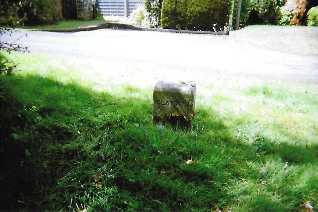
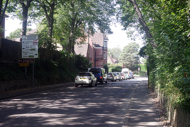
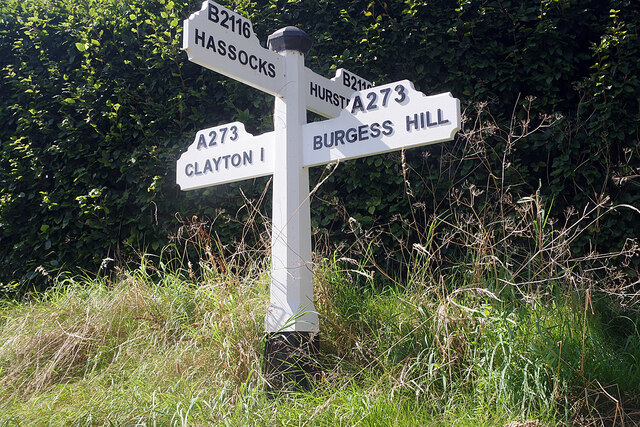
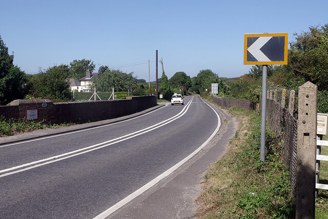
Newer Copse Images
Images are sourced within 2km of 50.90967/-0.15920685 or Grid Reference TQ2913. Thanks to Geograph Open Source API. All images are credited.
Newer Copse is located at Grid Ref: TQ2913 (Lat: 50.90967, Lng: -0.15920685)
Administrative County: West Sussex
District: Mid Sussex
Police Authority: Sussex
What 3 Words
///letter.cured.elects. Near Hassocks, West Sussex
Nearby Locations
Related Wikis

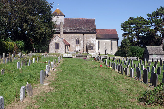
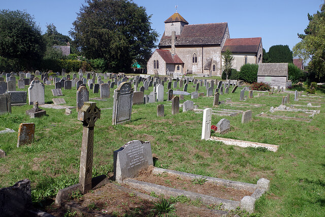
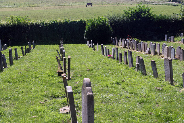
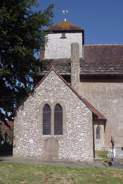
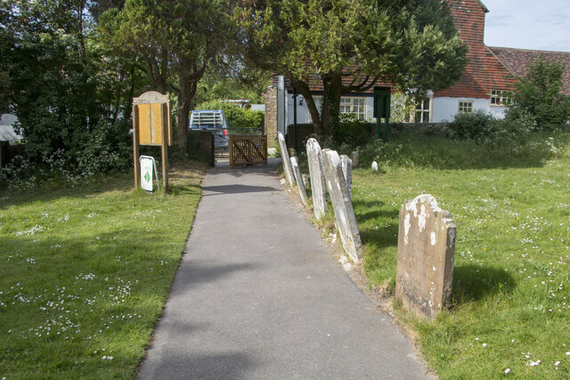
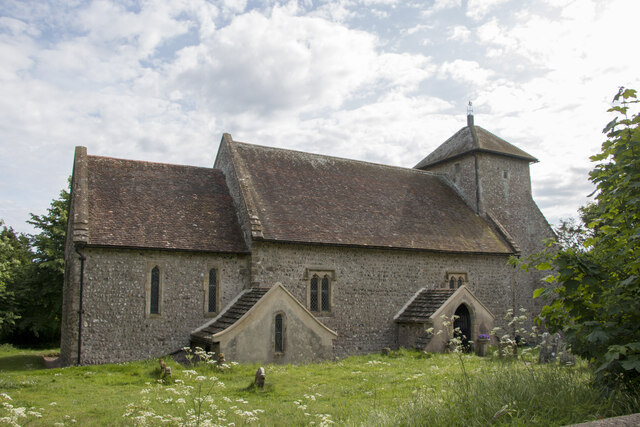
St John the Baptist's Church, Clayton
St John the Baptist's Church is the Church of England parish church of the village of Clayton in Mid Sussex District, one of seven local government districts...
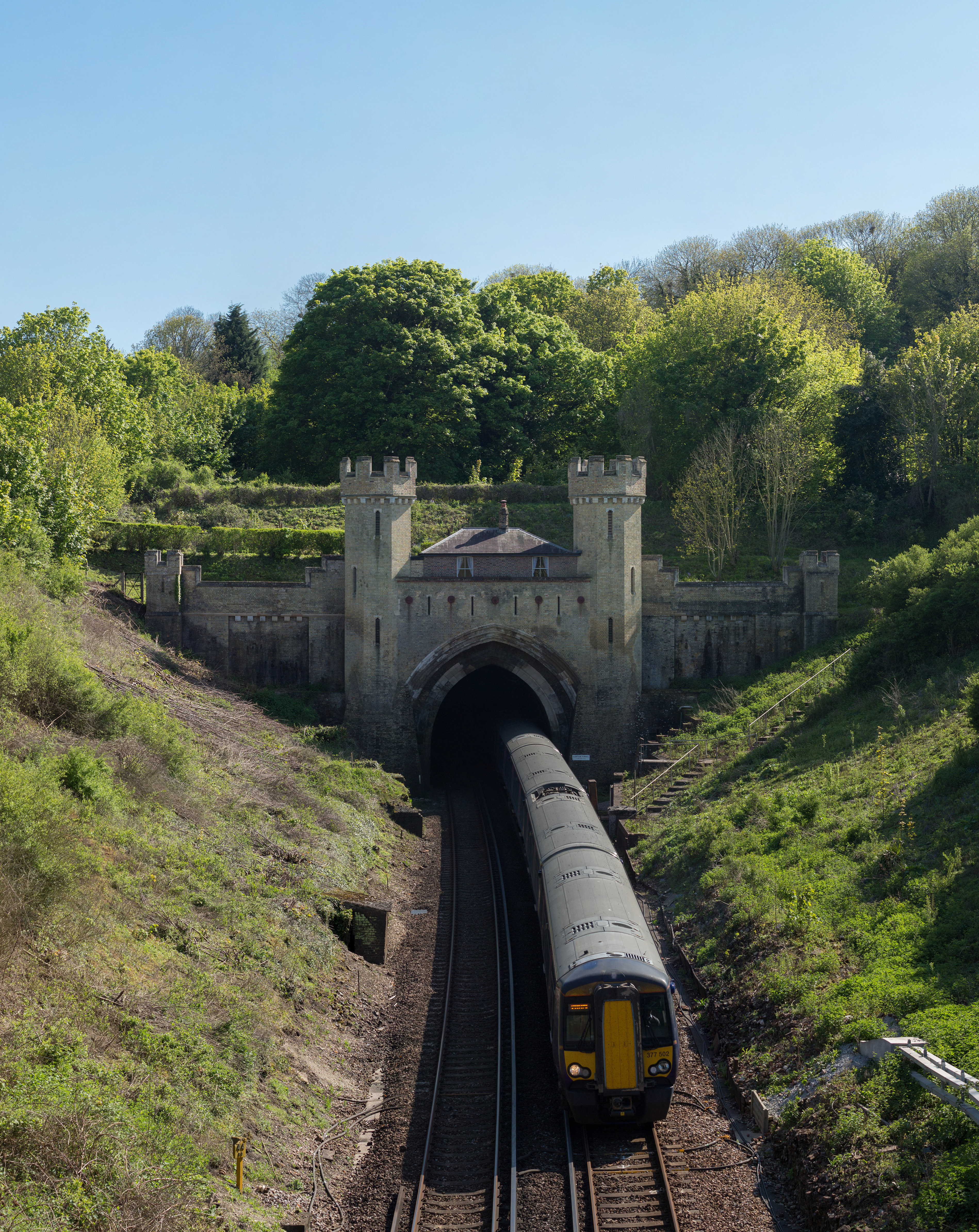
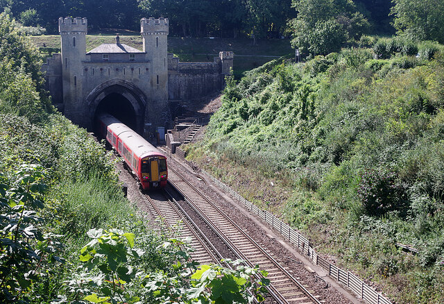
Clayton Tunnel
Clayton Tunnel is a railway tunnel located near the villages of Clayton and Pyecombe in West Sussex, between Hassocks and Preston Park railway stations...

Clayton Tunnel rail crash
The Clayton Tunnel rail crash occurred on Sunday 25 August 1861, five miles (8 km) from Brighton on the south coast of England. At the time it was the...

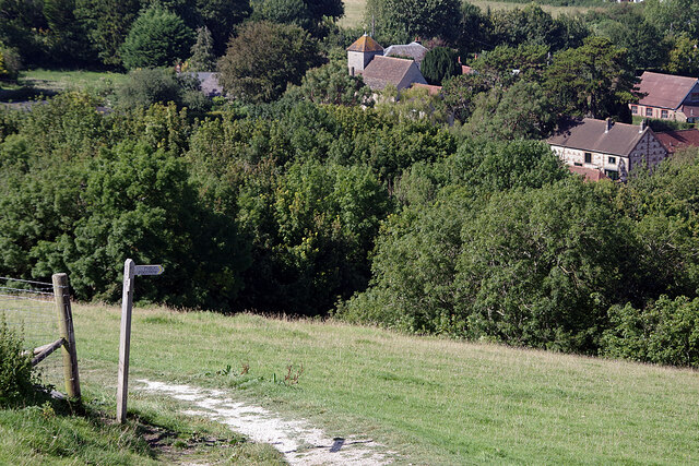
Clayton, West Sussex
Clayton is a small village and former civil parish, now in the parish of Hassocks, in the Mid Sussex district, in the county of West Sussex, England. It...

Clayton Windmills
The Clayton Windmills, known locally as Jack and Jill, stand on the South Downs above the village of Clayton, West Sussex, England. They comprise a post...
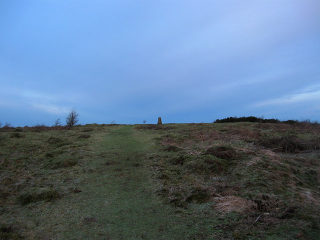
Wolstonbury Hill
Wolstonbury Hill is a 58.9-hectare (146-acre) biological Site of Special Scientific Interest south-west of in West Sussex. It is owned by the National...
Pyecombe
Pyecombe is a village and civil parish in the Mid Sussex District of West Sussex, England. Pyecombe is located 7 miles (11 km) to the north of Brighton...
Hassocks F.C.
Hassocks Football Club is a football club based in Hassocks, near Brighton, West Sussex, England. The club is affiliated to the Sussex County Football...
Nearby Amenities
Located within 500m of 50.90967,-0.15920685Have you been to Newer Copse?
Leave your review of Newer Copse below (or comments, questions and feedback).