Enville

Settlement in Staffordshire South Staffordshire

England

Enville

Enville Hall Grade II listed 16C&17C hall built by the Grey family, Earls of Stamford and Warrington. The extensive estate comprises 6500acres at Enville.
Enville Hall Credit: John M

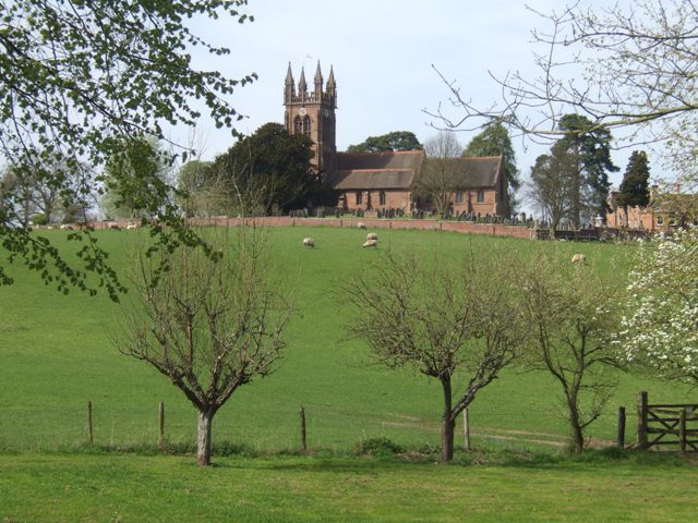
Enville is a small village located within the county of Staffordshire, England. Situated approximately 10 miles west of Wolverhampton, Enville is nestled in the picturesque countryside of the South Staffordshire district. The village is known for its unspoiled natural beauty and tranquil atmosphere.

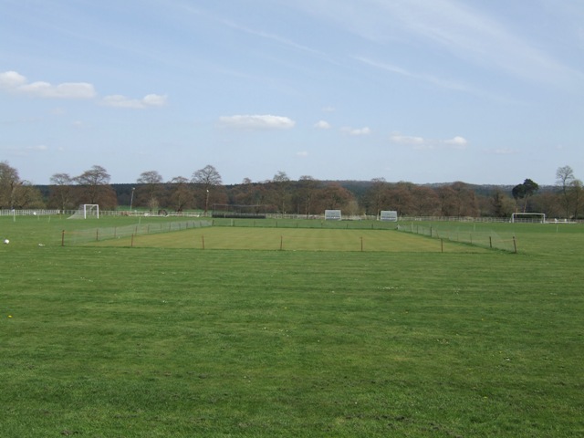
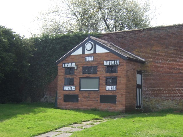
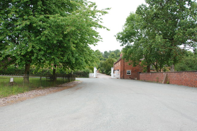
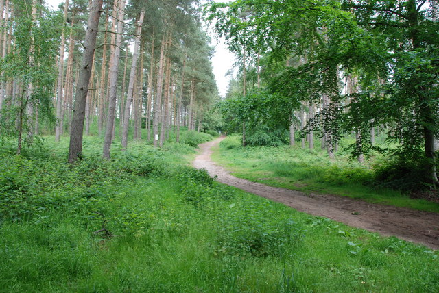
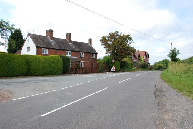
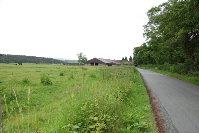
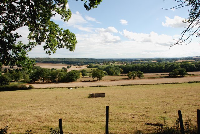
Enville is home to a population of around 500 residents, making it a tight-knit and close community. The village is characterized by its charming stone cottages, historic buildings, and well-tended gardens. It is also renowned for its scenic walks, with several footpaths and trails winding through the surrounding countryside.

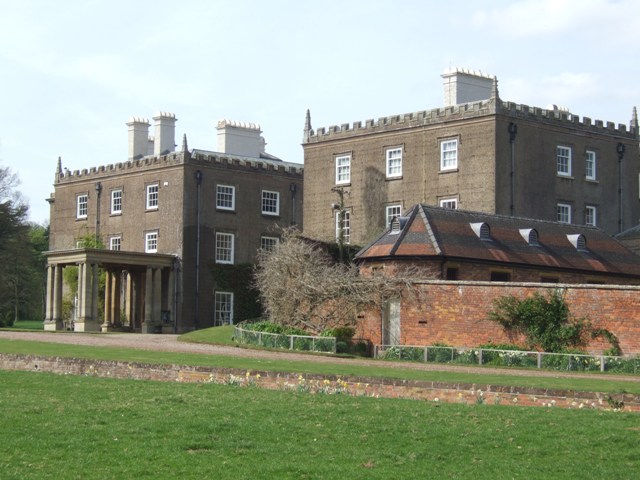
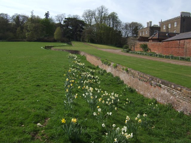
One of the standout features of Enville is Enville Hall, a Grade II listed country house that has been the seat of the Gresley family since the 16th century. The hall is set in extensive parkland and gardens, which are open to the public on select occasions. The village also boasts a beautiful 18-hole golf course, which attracts visitors from far and wide.

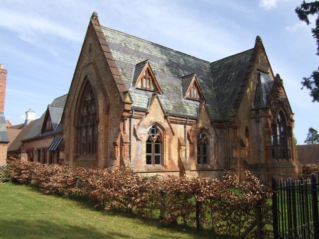
Enville is well-served by amenities, including a village hall, a primary school, and a traditional pub. Although it is a small village, Enville is conveniently located near larger towns and cities, such as Stourbridge and Dudley, which provide additional services and facilities.

Overall, Enville is a peaceful and idyllic village that offers residents and visitors a chance to escape the hustle and bustle of urban life. Its rich history, natural landscapes, and strong sense of community make it a truly special place to live or visit.

If you have any feedback on the listing, please let us know in the comments section below.
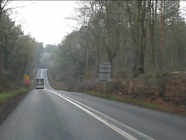
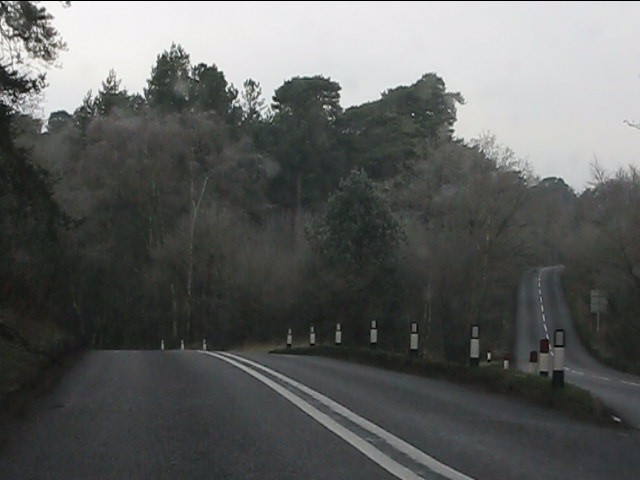
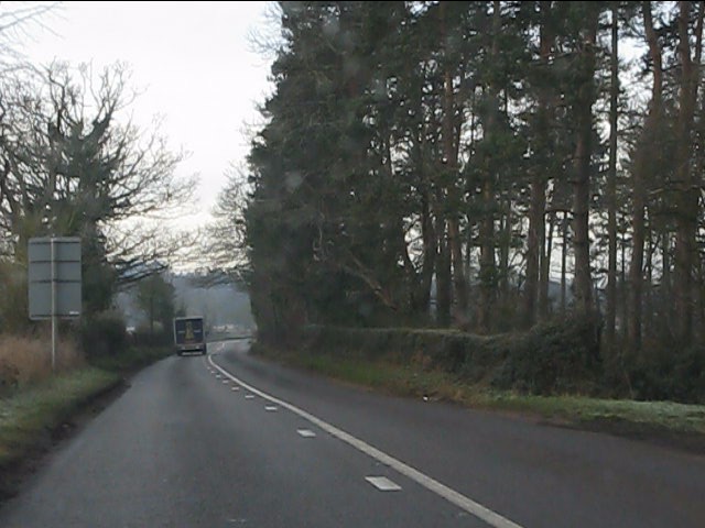
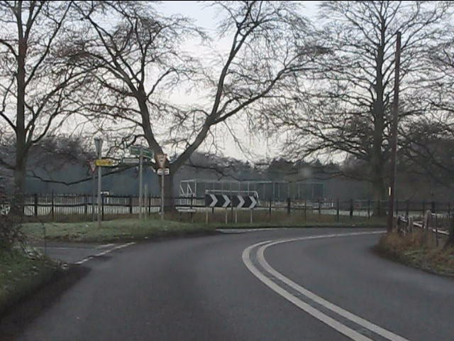
Enville Images

Images are sourced within 2km of 52.479822/-2.258042 or Grid Reference SO8286. Thanks to Geograph Open Source API. All images are credited.

Enville Hall Grade II listed 16C&17C hall built by the Grey family, Earls of Stamford and Warrington. The extensive estate comprises 6500acres at Enville.
Enville Hall
Grade II listed 16C&17C hall built by the Grey family, Earls of Stamford and Warrington. The extensive estate comprises 6500acres at Enville.
View to Enville Church Quintessential English village church near to Enville Hall with sheep grazing the fields. The church is largely Norman built on to an earlier Saxon foundation. The tower dates from the mid 1870s and is  a late commission by George Gilbert Scott the renowned architect of churches, cathedrals and St Pancras Station.
View to Enville Church
Quintessential English village church near to Enville Hall with sheep grazing the fields. The church is largely Norman built on to an earlier Saxon foundation. The tower dates from the mid 1870s and is a late commission by George Gilbert Scott the renowned architect of churches, cathedrals and St Pancras Station.
Former Enville School School in the estate village erected by the Countess of Stamford and Warrington in the 1860s.
Former Enville School
School in the estate village erected by the Countess of Stamford and Warrington in the 1860s.
Gateway at Enville Hall The gate in the brick wall surrounding the hall leads into the landscaped gardens.
Gateway at Enville Hall
The gate in the brick wall surrounding the hall leads into the landscaped gardens.
Enville Cricket Club In the grounds of Enville Hall.
Enville Cricket Club
In the grounds of Enville Hall.
Scoreboard at Enville Cricket Club Built onto the wall surrounding Enville Hall.
Scoreboard at Enville Cricket Club
Built onto the wall surrounding Enville Hall.
Ha-ha at Enville Hall The Ha-ha or sunken wall feature separates the house and gardens from the grazing in the landscaped parkland.
Ha-ha at Enville Hall
The Ha-ha or sunken wall feature separates the house and gardens from the grazing in the landscaped parkland.
Main Entrance To Enville Hall.
A Track Into The Million.
Cottages On Junction Of Chester Road & Hoo Lane.
Falcon Farm, Enville. Falcon Farm is part of the Enville Estate.
Falcon Farm, Enville.
Falcon Farm is part of the Enville Estate.
Public bridleway through Million Wood, near Enville The public bridleway which runs through the heart of this large wood, is the only route which the public can use. There are no other public rights of way, nor is it access land. Forestry operations are undertaken in the wood, so it is probably safest to stick to the correct route!
Public bridleway through Million Wood, near Enville
The public bridleway which runs through the heart of this large wood, is the only route which the public can use. There are no other public rights of way, nor is it access land. Forestry operations are undertaken in the wood, so it is probably safest to stick to the correct route!
Million Wood near Enville A typical scene in the wood, taken from the public bridleway. Although there appears to be a path here, there is no public right of way other than on the bridleway. The trees here are mainly pine. In April 2011, another part of the wood suffered a bad fire, which took some days to extinguish.
Million Wood near Enville
A typical scene in the wood, taken from the public bridleway. Although there appears to be a path here, there is no public right of way other than on the bridleway. The trees here are mainly pine. In April 2011, another part of the wood suffered a bad fire, which took some days to extinguish.
Grassland from the Sheepwalks  Lane From here there is a view across to Kinver Edge, and in the far distance Malvern Hills can just be seen.
Grassland from the Sheepwalks Lane
From here there is a view across to Kinver Edge, and in the far distance Malvern Hills can just be seen.
A458 near Broom Hill
Rollercoaster roads Chester Road leaves the A458 west of Stourton.
Rollercoaster roads
Chester Road leaves the A458 west of Stourton.
A458 near Enville Common
Lane junction south of Enville
Show me another place!

Enville is located at Grid Ref: SO8286 (Lat: 52.479822, Lng: -2.258042)

Administrative County: Staffordshire

District: South Staffordshire

Police Authority: Staffordshire

What 3 Words

///behave.secondly.convinced. Near Kinvere, Staffordshire

Related Wikis

West Midlands (region)

The West Midlands is one of nine official regions of England at the first level of International Territorial Level for statistical purposes. It covers...

Enville, Staffordshire

Enville is a village and civil parish in rural Staffordshire, England, on the A458 road between Stourbridge and Bridgnorth. Enville is in the South Staffordshire...

Enville Hall

Enville Hall is an English Tudor country house in the village of Enville, Staffordshire. It is a Grade II listed building.The house has a 16th and 17th...

Great Fountain, Enville

The Great Fountain, Enville, was a fountain created in the mid-19th century by the Earl of Stamford in the middle of a lake on his Enville Hall estate...

Highgate Common

Highgate Common is a Staffordshire Wildlife Trust reserve containing a mix of heathland and woodland. It is about 129 hectares or 320 acres in size. The...

Kinver Edge

Kinver Edge is a high heath and woodland escarpment just west of Kinver, about four miles west of Stourbridge, and four miles north of Kidderminster, and...

Kinver High School

Kinver High School (formerly Edgecliff High School) is a mixed secondary school and sixth form located in Kinver in the English county of Staffordshire...

Kinver Edge Hillfort

Kinver Edge Hillfort, is a univallate Iron Age hillfort with a massive rampart and outer ditch along the south-west and south-east sides, with natural...

Nearby Amenities

Located within 500m of 52.479822,-2.258042
Enville
Created By: Potlatch 0.5d
Is In: Staffordshire
Place: village
Wikidata: Q2798437
Lat/Long: 52.4792083/-2.256466
Blundies
Created By: Potlatch 0.10f
Place: hamlet
Lat/Long: 52.4814421/-2.2544291
Bus Stop
Blundies Lane
Bus: yes
Naptan AtcoCode: 3800C602200
Naptan Bearing: NW
Naptan CommonName: The Cat Inn PH
Naptan Indicator: Adj
Naptan Landmark: The Cat Inn PH
Naptan Street: Bridgnorth Rd
Naptan Verified: no
Public Transport: platform
Source: naptan_import
Lat/Long: 52.478989/-2.2586304
Bus Stop
Blundies Lane
Bus: yes
Naptan AtcoCode: 3800C602201
Naptan Bearing: SE
Naptan CommonName: Post Office
Naptan Indicator: Adj
Naptan Landmark: Post Office
Naptan Street: Bridgnorth Rd
Naptan Verified: no
Public Transport: platform
Source: naptan_import
Lat/Long: 52.4790976/-2.2585596
Bus Stop
Brown's Lake Road
Bus: yes
Naptan AtcoCode: 3800C605800
Naptan Bearing: SW
Naptan CommonName: Brown's Lake Road
Naptan Indicator: Adj
Naptan Landmark: Brown's Lake Road
Naptan Street: Blundies Lane
Naptan Verified: no
Public Transport: platform
Source: naptan_import
Lat/Long: 52.4826972/-2.2525263
Brown's Lake Road
Naptan AtcoCode: 3800C605801
Naptan Bearing: NE
Naptan BusStopType: CUS
Naptan CommonName: Brown's Lake Road
Naptan Indicator: Opp
Naptan Landmark: Brown's Lake Road
Naptan Street: Blundies Lane
Naptan Verified: no
Source: naptan_import
Lat/Long: 52.4827777/-2.2527182
Barrier: kissing_gate
Source: survey
Lat/Long: 52.4786173/-2.2608158
Power: substation
Source: survey
Lat/Long: 52.4794469/-2.258271
Post Office
Enville Post Office
Addr City: Stourbridge
Addr Housenumber: 9
Addr Postcode: DY7 5HA
Addr Street: Bridgnorth Road
Addr Village: Enville
Brand: Post Office
Brand Wikidata: Q1783168
Opening Hours: Mo-Fr 09:00-13:00,14:00-17:30; Sa 09:00-12:30
Ref Pol Id: 7606
Source: survey
Website: https://www.postoffice.co.uk/branch-finder/2112086/enville
Lat/Long: 52.4790899/-2.2584283
Historic: memorial
Lat/Long: 52.4777936/-2.2574394
Bench
Lat/Long: 52.4780592/-2.2575413
Telephone
Booth: K6
Covered: booth
Listed Status: Grade II
Operator: BT
Phone: +44 1384 872501
Lat/Long: 52.4790767/-2.2584891
Post Box
Post Box Type: pillar
Royal Cypher: EIIR
Royal Cypher Wikidata: Q33102113
Lat/Long: 52.4790694/-2.2584636
The data included in this document is from www.openstreetmap.org. The data is made available under ODbL.

Have you been to Enville?

Leave your review of Enville below (or comments, questions and feedback).