The Moors
Lake, Pool, Pond, Freshwater Marsh in Staffordshire South Staffordshire
England
The Moors
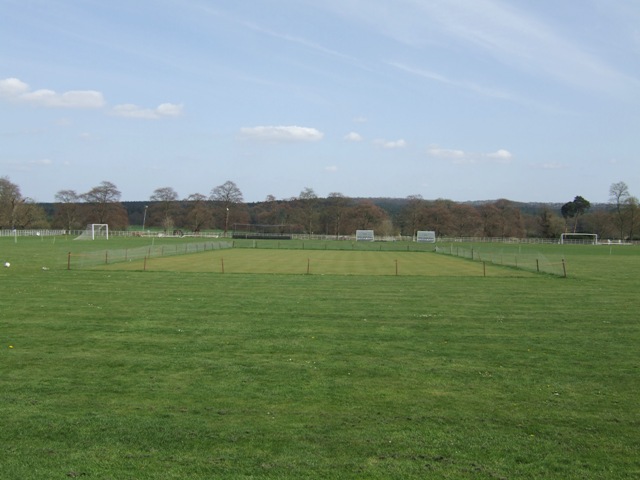
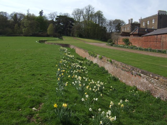
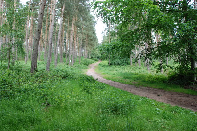
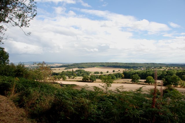
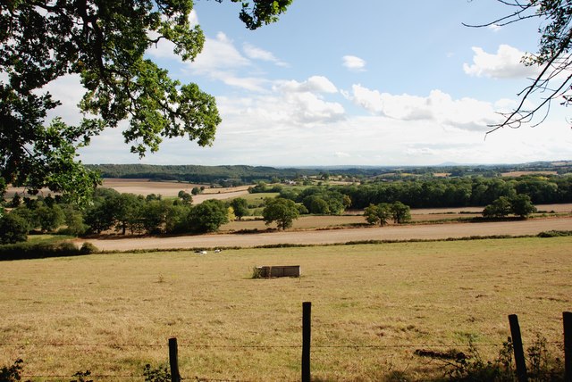
The Moors in Staffordshire is a picturesque area encompassing a variety of natural features, including lakes, pools, ponds, and freshwater marshes. Situated in the heart of the Staffordshire Moorlands, it spans a considerable expanse and offers a diverse ecosystem.
The centerpiece of The Moors is a beautiful lake, surrounded by lush greenery and diverse flora. The lake is a serene and tranquil spot, attracting visitors who seek relaxation and a connection with nature. Its crystal-clear waters reflect the surrounding landscape, creating a stunning visual spectacle.
Adjacent to the lake, there are several smaller pools and ponds, each with its own unique characteristics. These smaller bodies of water provide habitats for a wide range of aquatic plants and animals, including various species of fish, amphibians, and waterfowl.
The Moors is also home to a sprawling freshwater marsh, which serves as an important breeding ground for wetland birds. With its waterlogged soil and abundance of vegetation, the marsh provides an ideal environment for these avian species. Birdwatchers flock to The Moors to catch glimpses of rare and migratory birds, making it a popular destination for ornithology enthusiasts.
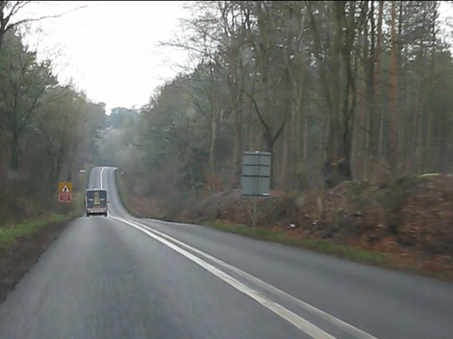
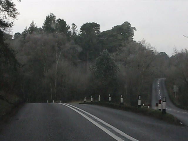
Visitors to The Moors can enjoy leisurely walks along well-maintained paths, allowing them to explore this natural paradise at their own pace. The area is teeming with wildlife, offering opportunities for nature photography and wildlife observation. It is a haven for those seeking solitude and a break from the bustle of daily life.
In summary, The Moors in Staffordshire is a scenic landscape comprising lakes, pools, ponds, and a freshwater marsh. Its diverse ecosystem and abundant wildlife make it a must-visit destination for nature enthusiasts and those seeking a peaceful retreat in the heart of nature.
If you have any feedback on the listing, please let us know in the comments section below.
The Moors Images
Images are sourced within 2km of 52.476833/-2.2611726 or Grid Reference SO8286. Thanks to Geograph Open Source API. All images are credited.


The Moors is located at Grid Ref: SO8286 (Lat: 52.476833, Lng: -2.2611726)
Administrative County: Staffordshire
District: South Staffordshire
Police Authority: Staffordshire
What 3 Words
///hops.lamenting.highbrow. Near Kinvere, Staffordshire
Nearby Locations
Related Wikis

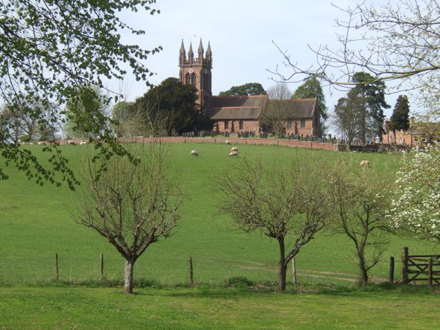
Enville, Staffordshire
Enville is a village and civil parish in rural Staffordshire, England, on the A458 road between Stourbridge and Bridgnorth. Enville is in the South Staffordshire...

Great Fountain, Enville
The Great Fountain, Enville, was a fountain created in the mid-19th century by the Earl of Stamford in the middle of a lake on his Enville Hall estate...

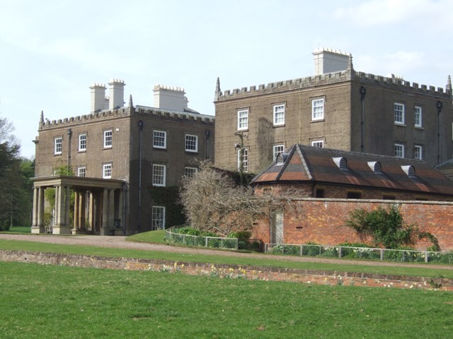
Enville Hall
Enville Hall is an English Tudor country house in the village of Enville, Staffordshire. It is a Grade II listed building.The house has a 16th and 17th...

West Midlands (region)
The West Midlands is one of nine official regions of England at the first level of International Territorial Level for statistical purposes. It covers...

Kinver Edge
Kinver Edge is a high heath and woodland escarpment just west of Kinver, about four miles west of Stourbridge, and four miles north of Kidderminster, and...

Kinver High School
Kinver High School (formerly Edgecliff High School) is a mixed secondary school and sixth form located in Kinver in the English county of Staffordshire...
Kinver Edge Hillfort
Kinver Edge Hillfort, is a univallate Iron Age hillfort with a massive rampart and outer ditch along the south-west and south-east sides, with natural...

Highgate Common
Highgate Common is a Staffordshire Wildlife Trust reserve containing a mix of heathland and woodland. It is about 129 hectares or 320 acres in size. The...
Nearby Amenities
Located within 500m of 52.476833,-2.2611726Have you been to The Moors?
Leave your review of The Moors below (or comments, questions and feedback).