Abergiâr

Settlement in Carmarthenshire

Wales

Abergiâr

A485 through Aber Giar Approaching Norwood Gardens entrance
A485 through Aber Giar Credit: John Firth

Abergiâr is a small village located in Carmarthenshire, a county in southwest Wales, United Kingdom. Situated in the beautiful Tywi Valley, the village is surrounded by picturesque countryside, making it an ideal destination for nature enthusiasts and those seeking tranquility.

The village is known for its rich history, dating back to Roman times. Numerous archaeological sites have been discovered in the area, including a Roman fort, indicating the village's significance during that period. Abergiâr is also renowned for its coal mining heritage, which played a crucial role in shaping the local economy and community during the 19th and 20th centuries.

Today, Abergiâr retains its charm and traditional character. The village is home to a tight-knit community that takes pride in its cultural heritage. Visitors can explore the historic buildings and landmarks, such as the village church and the old colliery buildings, which provide a glimpse into the area's past.

The natural beauty surrounding Abergiâr offers a range of outdoor activities. The nearby Brecon Beacons National Park is perfect for hiking, cycling, and wildlife spotting, while the River Tywi provides opportunities for fishing and canoeing.

Abergiâr is a peaceful and welcoming village, offering a sense of tranquility and a chance to connect with nature and history. Its idyllic location and rich heritage make it a must-visit destination for those seeking a true Welsh experience.

If you have any feedback on the listing, please let us know in the comments section below.
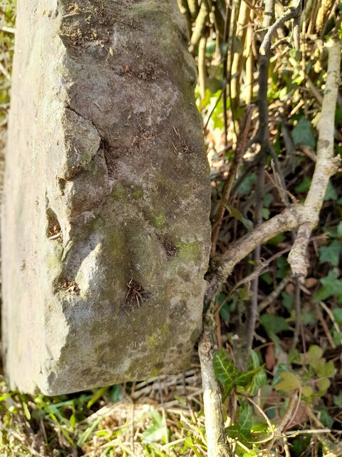
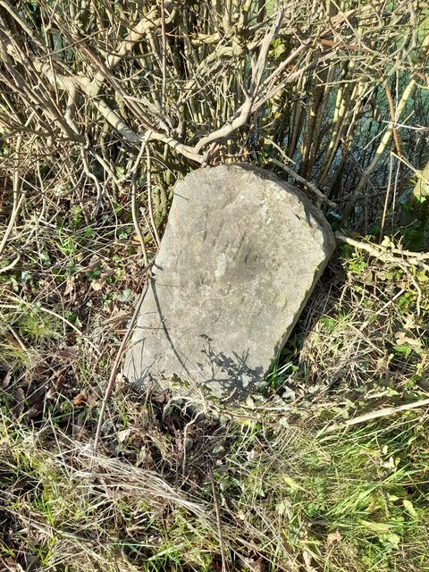
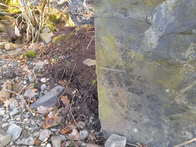
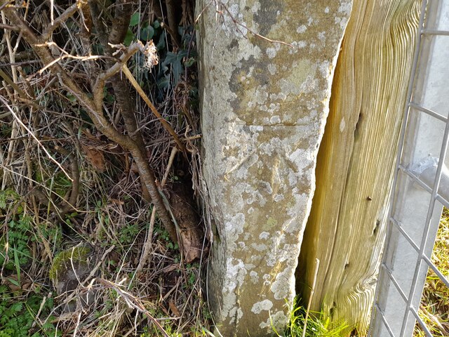
Abergiâr Images

Images are sourced within 2km of 52.045909/-4.184816 or Grid Reference SN5040. Thanks to Geograph Open Source API. All images are credited.

A485 through Aber Giar Approaching Norwood Gardens entrance
A485 through Aber Giar
Approaching Norwood Gardens entrance
Norwood Gardens entrance from A485
Ordnance Survey Pivot This OS pivot can be found on the milestone NW side of the road. It marks a point 176.311m above mean sea level. <a title="https://www.geograph.org.uk/photo/7400908" href="https://www.geograph.org.uk/photo/7400908">Link</a>
Ordnance Survey Pivot
This OS pivot can be found on the milestone NW side of the road. It marks a point 176.311m above mean sea level. Link
Milestone - Carmarthen 13 Badly leaning now. There is an Ordnance Survey pivot on the top of the stone. <a title="https://www.geograph.org.uk/photo/7400904" href="https://www.geograph.org.uk/photo/7400904">Link</a>
Milestone - Carmarthen 13
Badly leaning now. There is an Ordnance Survey pivot on the top of the stone. Link
Ordnance Survey Cut Mark This OS cut mark can be found on the roadside barn at Plasbach. It marks a point 168.589m above mean sea level.
Ordnance Survey Cut Mark
This OS cut mark can be found on the roadside barn at Plasbach. It marks a point 168.589m above mean sea level.
Ordnance Survey Cut Mark This OS cut mark can be found on the roadside barn at Ffynnon-ddrain. It marks a point 135.145m above mean sea level.
Ordnance Survey Cut Mark
This OS cut mark can be found on the roadside barn at Ffynnon-ddrain. It marks a point 135.145m above mean sea level.
Ordnance Survey Cut Mark This OS cut mark can be found on the gatepost north side of the road.
Ordnance Survey Cut Mark
This OS cut mark can be found on the gatepost north side of the road.
Ordnance Survey Cut Mark This OS cut mark can be found on the gatepost SE side of the road. It marks a point 110.341m above mean sea level.
Ordnance Survey Cut Mark
This OS cut mark can be found on the gatepost SE side of the road. It marks a point 110.341m above mean sea level.
Ordnance Survey Cut Mark This OS cut mark can be found on the SW abutment of the railway bridge. It marks a point 102.173m above mean sea level.
Ordnance Survey Cut Mark
This OS cut mark can be found on the SW abutment of the railway bridge. It marks a point 102.173m above mean sea level.
Castell Nonni An ancient motte.
Castell Nonni
An ancient motte.
Power lines
Power lines
Down the bridleway
Down the bridleway
Celtic Classics Classic car showroom.
Celtic Classics
Classic car showroom.
Field above Llanllwni On the slopes of Mynydd Llanllwni. Beyond, drizzle sweeps over the Teifi valley.
Field above Llanllwni
On the slopes of Mynydd Llanllwni. Beyond, drizzle sweeps over the Teifi valley.
The road to Llanllwni Common Climbing the lower slopes of Mynydd Llanllwni.
The road to Llanllwni Common
Climbing the lower slopes of Mynydd Llanllwni.
Old Milestone by the A485 in Llanllwni Milestone by the A485, in parish of Llanllwni (Carmarthenshire District), Llanllwni.

Inscription reads:-
Carmarthen
13
Lampeter
9 

Surveyed

Milestone Society National ID: CAM_CMLP13
Old Milestone by the A485 in Llanllwni
Milestone by the A485, in parish of Llanllwni (Carmarthenshire District), Llanllwni. Inscription reads:- Carmarthen 13 Lampeter 9 Surveyed Milestone Society National ID: CAM_CMLP13
Llwybr ar gomin / Path on a common Llwybr ar lethrau isaf Mynydd Llanllwni.

A path on the lower slopes of Mynydd Llanllwni (trans. St Llwni's parish mountain).
Llwybr ar gomin / Path on a common
Llwybr ar lethrau isaf Mynydd Llanllwni. A path on the lower slopes of Mynydd Llanllwni (trans. St Llwni's parish mountain).
Heol fynedfa / Access road Heol fynedfa a llwybr troed cyhoedus ar dir agored.

An access road and public footpath on open countryside.
Heol fynedfa / Access road
Heol fynedfa a llwybr troed cyhoedus ar dir agored. An access road and public footpath on open countryside.
Show me another place!

Abergiâr is located at Grid Ref: SN5040 (Lat: 52.045909, Lng: -4.184816)

Unitary Authority: Carmarthenshire

Police Authority: Dyfed Powys

Also known as: Aber-Giar

What 3 Words

///kindness.chess.removing. Near Pencader, Carmarthenshire

Nearby Locations

Abergiâr Aber-Giâr

Related Wikis

Aber-giar

Aber-giar (Welsh: Abergiâr) is a village in the community of Llanllwni in Carmarthenshire, Wales. == References ==

Llanllwni

Llanllwni is a village and community in Carmarthenshire, Wales, on the A485 road south-west of Llanybydder. To the south lies the mountain, Mynydd Llanllwni...

Highmead

Highmead is a small village in the community of Llanwenog, Ceredigion, Wales, which is 59.2 miles (95.3 km) from Cardiff and 177.7 miles (286 km) from...

Rhuddlan, Ceredigion

Rhuddlan, Ceredigion is a small village in the community of Llanwenog, Ceredigion, Wales. Rhuddlan is represented in the Senedd by Elin Jones (Plaid Cymru...

Nearby Amenities

Located within 500m of 52.045909,-4.184816
Aber-Giar
Place: hamlet
Wikidata: Q4666757
Wikipedia: en:Aber-giar
Lat/Long: 52.0466427/-4.1855867
Restaurant
Opening Hours: Tu-We 18:00-22:30; Th 12:00-14:00, 18:00-22:30; Fr-Sa 12:00-14:00, 18:00-23:00; Su 12:00-15:00
Operator: Belle Vue Inn
Outdoor Seating: yes
Phone: +44 1570 480495
Smoking: outside
Website: https://www.thebelle.co.uk/
Lat/Long: 52.0457153/-4.188539
Leisure: picnic_table
Lat/Long: 52.0455925/-4.1885931
Give Way
Direction: forward
Lat/Long: 52.0452025/-4.1895819
Bus Stop
Bus: yes
Public Transport: platform
Lat/Long: 52.0453874/-4.1893193
Bus Stop
Bus: yes
Public Transport: platform
Lat/Long: 52.0472565/-4.1842924
The data included in this document is from www.openstreetmap.org. The data is made available under ODbL.

Have you been to Abergiâr?

Leave your review of Abergiâr below (or comments, questions and feedback).