Hydehurst Furze

Wood, Forest in Surrey Crawley

England

Hydehurst Furze

Gatwick Beehive Original 1930s Circular Airport Terminal. The airport was re-built approximately 1/2 mile to the north in the 1950s. The "Beehive" is now used as offices
Gatwick Beehive Credit: Michael of Crawley

Hydehurst Furze is a picturesque woodland located in Surrey, England. Nestled amidst the rolling hills and lush greenery, this enchanting forest covers an area of approximately 150 acres. It is renowned for its natural beauty, diverse wildlife, and tranquil atmosphere.

The forest is predominantly composed of a mix of deciduous and evergreen trees, including oak, beech, and pine, creating a rich tapestry of colors throughout the year. A variety of plants and wildflowers add to the charm, making Hydehurst Furze a haven for nature enthusiasts and photographers.

The forest boasts a network of well-maintained walking trails, allowing visitors to explore its hidden gems. The trails wind through the woods, offering breathtaking views of the surrounding landscape and glimpses of wildlife along the way. Birdwatchers will be delighted by the numerous species that call this forest home, including woodpeckers, nightingales, and owls.

Hydehurst Furze also has several picnic areas, making it an ideal spot for families and friends to relax and enjoy a meal amidst nature's beauty. The peaceful ambiance and fresh air make it a popular destination for those seeking respite from the hustle and bustle of city life.

Visitors to Hydehurst Furze can also participate in educational programs and workshops organized by local conservation groups. These initiatives aim to raise awareness about the importance of preserving the forest's delicate ecosystem and promote sustainable practices.

Overall, Hydehurst Furze in Surrey is a haven of tranquility and natural splendor, offering a rejuvenating experience for all who venture into its enchanting embrace.

If you have any feedback on the listing, please let us know in the comments section below.

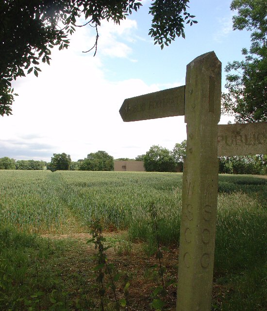
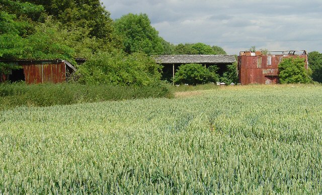
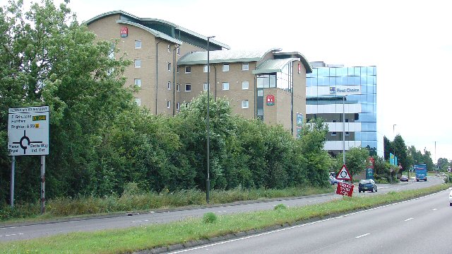
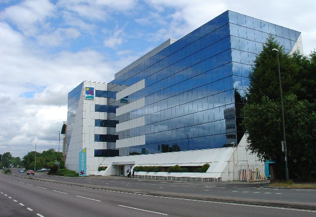
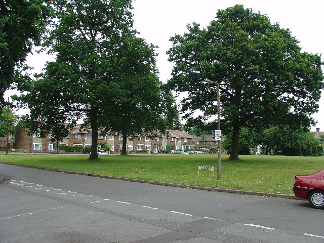
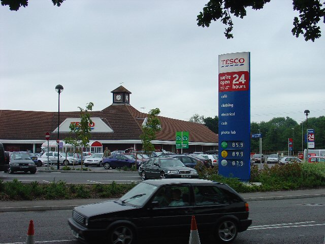
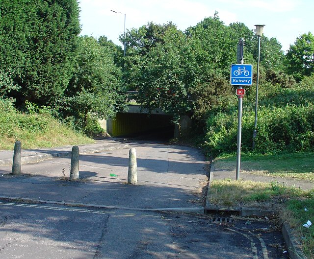
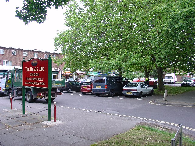
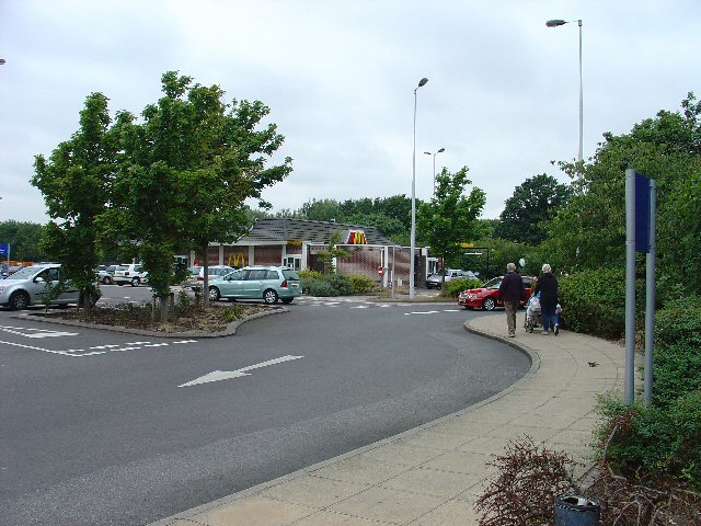
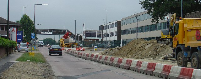
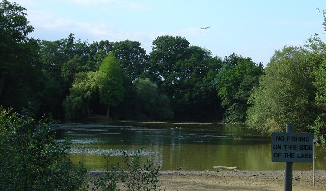
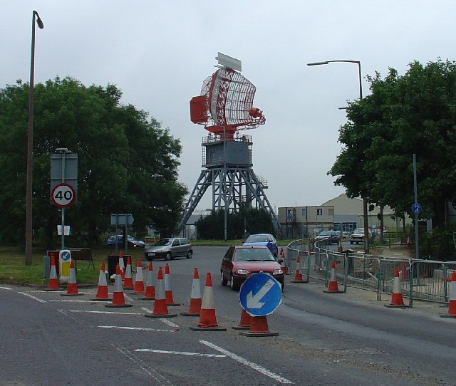
Hydehurst Furze Images

Images are sourced within 2km of 51.137503/-0.17468973 or Grid Reference TQ2739. Thanks to Geograph Open Source API. All images are credited.

Gatwick Beehive Original 1930s Circular Airport Terminal. The airport was re-built approximately 1/2 mile to the north in the 1950s. The "Beehive" is now used as offices
Gatwick Beehive
Original 1930s Circular Airport Terminal. The airport was re-built approximately 1/2 mile to the north in the 1950s. The "Beehive" is now used as offices
Manor Royal Industrial Estate, Crawley, West Sussex - Lunch Time Manor Royal Industrial Estate dominates Grid square TQ2738. The industries are varied and include various types of light to medium weight engineering, pharmaceuticals, administrative head offices, storage, etc. The view here shows one of the many snack bars that are found at strategic points round the estate. Most of the larger premises include on-site catering for employees, but there are many small companies who don't.
Manor Royal Industrial Estate, Crawley, West Sussex - Lunch Time
Manor Royal Industrial Estate dominates Grid square TQ2738. The industries are varied and include various types of light to medium weight engineering, pharmaceuticals, administrative head offices, storage, etc. The view here shows one of the many snack bars that are found at strategic points round the estate. Most of the larger premises include on-site catering for employees, but there are many small companies who don't.
County Oak Retail Park, Crawley, West Sussex The largest of several small retail parks in Crawley that are situated away from the town centre. Carpets, Furniture, Consumer electronics and electrical items, Office supplies, motoring and cycling spares, pet supplies, and a motor vehicle tyre and exhaust replacement service are all represented.
County Oak Retail Park, Crawley, West Sussex
The largest of several small retail parks in Crawley that are situated away from the town centre. Carpets, Furniture, Consumer electronics and electrical items, Office supplies, motoring and cycling spares, pet supplies, and a motor vehicle tyre and exhaust replacement service are all represented.
Astral Towers, County Oak, Crawley, West Sussex The centre of Manor Royal industrial estate contains most of the light and medium industrial premises. Various clusters of administrative offices form satellites surrounding the main estate. One such satellite is at County Oak, just across the A23 trunk road from the main estate. A typical office block is Astral Towers.
Astral Towers, County Oak, Crawley, West Sussex
The centre of Manor Royal industrial estate contains most of the light and medium industrial premises. Various clusters of administrative offices form satellites surrounding the main estate. One such satellite is at County Oak, just across the A23 trunk road from the main estate. A typical office block is Astral Towers.
Pasture between Manor Royal Industrial Estate and Gatwick Airport, Near Crawley, West Sussex "The Atrium" office block in the background is on the extreme fringe of the Manor Royal Industrial Estate. The view has been taken from a public bridleway across a field, looking south. Most of this grid square is comprised of fields such as this. There are currently (2005) plans being discussed for a second runway for Gatwick Airport. One of the options would have the proposed runway in this area.
Pasture between Manor Royal Industrial Estate and Gatwick Airport, Near Crawley, West Sussex
"The Atrium" office block in the background is on the extreme fringe of the Manor Royal Industrial Estate. The view has been taken from a public bridleway across a field, looking south. Most of this grid square is comprised of fields such as this. There are currently (2005) plans being discussed for a second runway for Gatwick Airport. One of the options would have the proposed runway in this area.
Public Footpath across fields between County Oak and Rowley Farm, Near Crawley, West Sussex. One of several long standing public rights of way in this area. This path has been in use since long before the creation of the Manor Royal Industrial Estate, immediately behind the photographer and Gatwick Airport (1.5km N of here). The path cuts diagonally SW-NE across the fields, which are growing wheat. This area is currently (2005) being suggested as a possible location for a second runway for Gatwick International Airport.
Public Footpath across fields between County Oak and Rowley Farm, Near Crawley, West Sussex.
One of several long standing public rights of way in this area. This path has been in use since long before the creation of the Manor Royal Industrial Estate, immediately behind the photographer and Gatwick Airport (1.5km N of here). The path cuts diagonally SW-NE across the fields, which are growing wheat. This area is currently (2005) being suggested as a possible location for a second runway for Gatwick International Airport.
Farm buildings near Manor Royal Industrial Estate, Crawley, West Sussex These metal clad farm buildings are in various states of dilapidation, with the central barn still intact. A row of bee hives are set in front of the barn. Wheat is growing in the field. Photo taken (looking N) from the public footpath between County Oak and Rowley Farm, just after emerging out of the Manor Royal Industrial Estate.
Farm buildings near Manor Royal Industrial Estate, Crawley, West Sussex
These metal clad farm buildings are in various states of dilapidation, with the central barn still intact. A row of bee hives are set in front of the barn. Wheat is growing in the field. Photo taken (looking N) from the public footpath between County Oak and Rowley Farm, just after emerging out of the Manor Royal Industrial Estate.
Ibis Hotel, County Oak, Crawley West Sussex. A typical airport hotel, approximately 1.5km (straight line) from Gatwick airport. On the extreme N fringe of the Manor Royal industrial estate.
Ibis Hotel, County Oak, Crawley West Sussex.
A typical airport hotel, approximately 1.5km (straight line) from Gatwick airport. On the extreme N fringe of the Manor Royal industrial estate.
First Choice Holidays plc HQ, County Oak, Crawley, West Sussex The administrative headquarters of First Choice Holidays plc, a holiday company. This office block is situated in the extreme SW corner of the grid square and is on the north western edge of the Manor Royal industrial estate. Most of the square is farmland, with the A23 trunk road sweeping through the W edge and a few hotels adjacent to the road.
First Choice Holidays plc HQ, County Oak, Crawley, West Sussex
The administrative headquarters of First Choice Holidays plc, a holiday company. This office block is situated in the extreme SW corner of the grid square and is on the north western edge of the Manor Royal industrial estate. Most of the square is farmland, with the A23 trunk road sweeping through the W edge and a few hotels adjacent to the road.
Open Space in Residential Area of Three Bridges, Crawley, West Sussex A grass covered square open space with a number of oak trees. This grid square has a high proportion of residential usage and holds approximately half of the housing in the Three Bridges neighbourhood of Crawley. Such open spaces are common throughout the various Crawley neighbourhoods.
Open Space in Residential Area of Three Bridges, Crawley, West Sussex
A grass covered square open space with a number of oak trees. This grid square has a high proportion of residential usage and holds approximately half of the housing in the Three Bridges neighbourhood of Crawley. Such open spaces are common throughout the various Crawley neighbourhoods.
Tesco Superstore, Hazelwick Avenue, Crawley, West Sussex One of three major supermarkets in Crawley, the others being Asda (Southgate) and Sainsbury's (West Green).
Tesco Superstore, Hazelwick Avenue, Crawley, West Sussex
One of three major supermarkets in Crawley, the others being Asda (Southgate) and Sainsbury's (West Green).
Cycle Subway (on National Cycle Network Route 20) between Manor Royal Industrial Estate and Northgate, Crawley, West Sussex National Cycle Network route 20 passes through Crawley. Here we see where the cycle path is routed under the main Crawley dual carriageway inner bypass. NCN 20 is a route from London to Brighton.
Cycle Subway (on National Cycle Network Route 20) between Manor Royal Industrial Estate and Northgate, Crawley, West Sussex
National Cycle Network route 20 passes through Crawley. Here we see where the cycle path is routed under the main Crawley dual carriageway inner bypass. NCN 20 is a route from London to Brighton.
Northgate Shopping Parade, Crawley, West Sussex Shopping parade at the heart of the residential area of Northgate, which occupies most of this grid square. As is common with most of the neighbourhood parades in Crawley, the Northgate one includes its own pub (The Black Dog)
Northgate Shopping Parade, Crawley, West Sussex
Shopping parade at the heart of the residential area of Northgate, which occupies most of this grid square. As is common with most of the neighbourhood parades in Crawley, the Northgate one includes its own pub (The Black Dog)
McDonald's Drive Through Fast Food Outlet, West Green, Crawley, West Sussex All for the convenience of the out of town shopper! On the same site as Sainsbury's Supermarket and the Homebase DIY store.
McDonald's Drive Through Fast Food Outlet, West Green, Crawley, West Sussex
All for the convenience of the out of town shopper! On the same site as Sainsbury's Supermarket and the Homebase DIY store.
Gatwick Road, Manor Royal Industrial Estate, Crawley, West Sussex The Manor Royal industrial estate is centred on TQ2738, but also spreads over about a third of this grid square. A feature here is the bridge over the main road linking two buildings belonging to the same organisation. The road building works are connected with the installation of the "Fastway" guided bus network throughout Crawley.
Gatwick Road, Manor Royal Industrial Estate, Crawley, West Sussex
The Manor Royal industrial estate is centred on TQ2738, but also spreads over about a third of this grid square. A feature here is the bridge over the main road linking two buildings belonging to the same organisation. The road building works are connected with the installation of the "Fastway" guided bus network throughout Crawley.
Milton Mount Lake, Pound Hill, Crawley, West Sussex Milton Mount Lake was once in the grounds of the Worth Park country estate. The estate was absorbed into the residential neighbourhood of Pound Hill and built upon. In the background, it is just possible to see an aircraft that has just taken off from Gatwick airport. The E end of the runway is 2km north of here. Aircraft taking off would not normally be seen from here, as they usually take off into the West (against the prevailing wind). The wind on this day was from the east.
Milton Mount Lake, Pound Hill, Crawley, West Sussex
Milton Mount Lake was once in the grounds of the Worth Park country estate. The estate was absorbed into the residential neighbourhood of Pound Hill and built upon. In the background, it is just possible to see an aircraft that has just taken off from Gatwick airport. The E end of the runway is 2km north of here. Aircraft taking off would not normally be seen from here, as they usually take off into the West (against the prevailing wind). The wind on this day was from the east.
Radar, Tinsley Green, Crawley, West Sussex A Radar adjacent to Gatwick airport.
Radar, Tinsley Green, Crawley, West Sussex
A Radar adjacent to Gatwick airport.
Manor Royal Industrial Estate - Back Streets Some of the smaller premises on the industrial estate have  not changed for many years. Here we see some typical examples of older units (1950s style). A characteristic common throughout the estate is the curvy roof with overhead skylights.
Manor Royal Industrial Estate - Back Streets
Some of the smaller premises on the industrial estate have not changed for many years. Here we see some typical examples of older units (1950s style). A characteristic common throughout the estate is the curvy roof with overhead skylights.
Show me another place!

Hydehurst Furze is located at Grid Ref: TQ2739 (Lat: 51.137503, Lng: -0.17468973)

Administrative County: West Sussex

District: Crawley

Police Authority: Sussex

What 3 Words

///period.grape.only. Near Langley Green, West Sussex

Related Wikis

Northgate, West Sussex

Northgate is one of the 14 residential neighbourhoods in Crawley, a town and borough in West Sussex, England. Crawley was planned and laid out as a New...
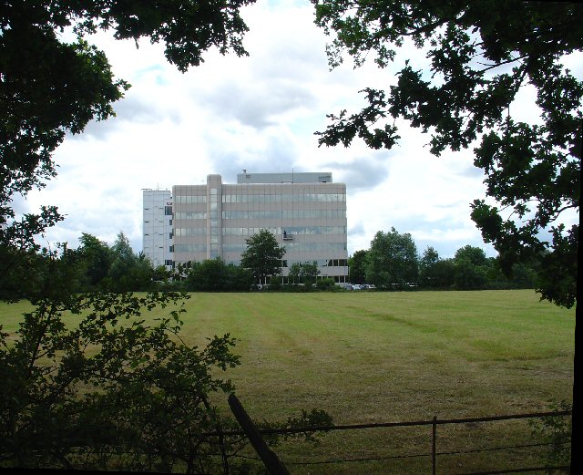
The Gatwick School

The Gatwick School is an all-through free school located on the Manor Royal estate, on the northern outskirts of Crawley, just south of the Gatwick Airport...

Northgate & Three Bridges (electoral division)

Northgate & Three Bridges is an electoral division of West Sussex in the United Kingdom, and returns one member to sit on West Sussex County Council....

Tinsley House Immigration Removal Centre

Tinsley House is a United Kingdom Immigration Removal Centre (IRC), where individuals are held while awaiting decisions on their asylum claim or considered...

Lowfield Heath

Lowfield Heath is a former village within the boundaries of the Borough of Crawley, West Sussex, England. Situated on the main London to Brighton road...

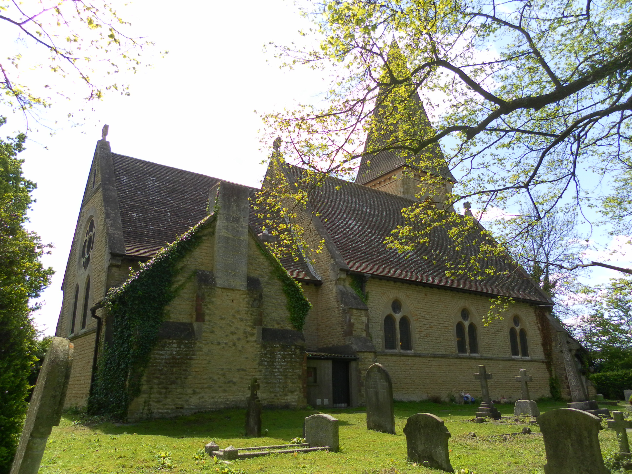
St Michael and All Angels Church, Lowfield Heath

St Michael and All Angels Church is a church in Lowfield Heath, a depopulated former village in the Borough of Crawley, West Sussex, England. Built by...

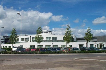
Beehive, Gatwick Airport

The Beehive is the original terminal building at Gatwick Airport, England. Opened in 1936, it became obsolete in the 1950s as the airport expanded. In...
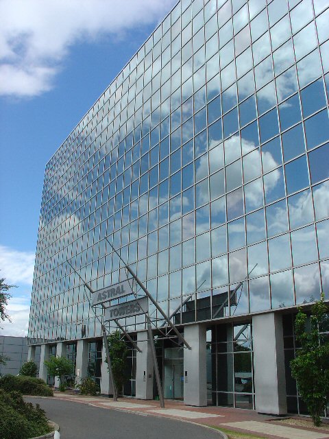
City Place Gatwick

City Place Gatwick is an office complex located on the property of London Gatwick Airport in Crawley, West Sussex, England. The complex includes four buildings...

Nearby Amenities

Located within 500m of 51.137503,-0.17468973
Crossing
Bicycle: yes
Crossing: traffic_signals
Crossing Ref: toucan
Kerb: lowered
Tactile Paving: yes
Traffic Signals: pedestrian_crossing
Lat/Long: 51.1350148/-0.1742137
Bus Stop
Fleming Way West
Bus: yes
Naptan AtcoCode: 4400CY0086
Naptan Bearing: E
Naptan CommonName: Fleming Way West
Naptan Indicator: opp Faraday Road
Naptan Landmark: Faraday Road
Naptan NaptanCode: wsxajpjp
Naptan PlusbusZoneRef: CRAWLEY
Naptan Street: Fleming Way
Naptan Verified: no
Public Transport: platform
Source: naptan_import
Lat/Long: 51.1348383/-0.1779487
Bus Stop
Fleming Way Central
Bus: yes
Naptan AtcoCode: 4400CY0146
Naptan Bearing: W
Naptan CommonName: Fleming Way Central
Naptan Indicator: opp. Jenner Road
Naptan Landmark: Jenner Road
Naptan NaptanCode: wsxajtmg
Naptan PlusbusZoneRef: CRAWLEY
Naptan Street: Fleming Way
Naptan Verified: no
Public Transport: platform
Source: naptan_import
Lat/Long: 51.1350699/-0.1732787
Bus Stop
Fleming Way West
Bus: yes
Naptan AtcoCode: 4400CY0424
Naptan Bearing: W
Naptan CommonName: Fleming Way West
Naptan Indicator: adj Faraday Road
Naptan Landmark: Faraday Road
Naptan NaptanCode: wsxgdptj
Naptan PlusbusZoneRef: CRAWLEY
Naptan Street: Fleming Way
Naptan Verified: no
Public Transport: platform
Source: naptan_import
Lat/Long: 51.1347247/-0.1780709
Access: no
Barrier: stile
Foot: yes
Lat/Long: 51.1372022/-0.1794889
BOC Gases
Not Brand Wikidata: Q790068
Shop: yes
Lat/Long: 51.1359417/-0.1709572
Crossing
Crossing: unmarked
Crossing Markings: no
Lat/Long: 51.1347821/-0.1791933
The Remnant Bar
Shop: trade
Trade: building_materials
Lat/Long: 51.135148/-0.1720698
Cromwell
Shop: trade
Trade: yes
Lat/Long: 51.1350422/-0.1720088
Barrier: lift_gate
Lat/Long: 51.1341894/-0.1783794
Barrier: lift_gate
Lat/Long: 51.1346358/-0.1774379
Barrier: bollard
Lat/Long: 51.1347155/-0.1762797
Post Box
Brand: Royal Mail
Brand Wikidata: Q638098
Brand Wikipedia: en:Royal Mail
Collection Times: Mo-Fr 18:00; Sa-Su off
Drive Through: no
Opening Hours: Mo-Fr 12:30-18:00
Operator: Royal Mail
Operator Wikidata: Q638098
Post Box Type: meter
Ref: RH10 150
Royal Cypher: no
Source: survey
Lat/Long: 51.1346454/-0.1790336
Washout Hydrant
Fire Hydrant
Emergency: fire_hydrant
Fire Hydrant Type: underground
Survey Date: 2018-11-11
Water Source: main
Lat/Long: 51.135324/-0.1727888
Crossing
Bicycle: yes
Crossing: uncontrolled
Lat/Long: 51.1348035/-0.1787073
Crossing
Bicycle: yes
Crossing: traffic_signals
Crossing Ref: toucan
Kerb: lowered
Lat/Long: 51.1345723/-0.1786614
Bus Stop
Fleming Way Central
Bus: yes
Naptan AtcoCode: 4400CY0089
Naptan Bearing: E
Naptan CommonName: Fleming Way Central
Naptan Indicator: adj Jenner Road
Naptan Landmark: Jenner Way
Naptan NaptanCode: wsxajpma
Naptan PlusbusZoneRef: CRAWLEY
Naptan Street: Fleming Way
Naptan Verified: no
Public Transport: platform
Source: naptan_import
Lat/Long: 51.1353071/-0.1726178
Crossing
Crossing: unmarked
Crossing Markings: no
Lat/Long: 51.1347873/-0.1801439
Crossing
Bicycle: yes
Crossing: traffic_signals
Crossing Ref: toucan
Kerb: lowered
Traffic Signals: pedestrian_crossing
Lat/Long: 51.1347111/-0.1788969
Crossing
Lat/Long: 51.1346219/-0.179462
Traffic Signals
Traffic Signals Direction: forward
Lat/Long: 51.1347508/-0.1784286
Traffic Signals
Lat/Long: 51.1348248/-0.1787096
Traffic Signals
Traffic Signals Direction: backward
Lat/Long: 51.1347083/-0.1789516
Traffic Signals
Traffic Signals Direction: backward
Lat/Long: 51.1345315/-0.1786546
Lexus Gatwick
Brand: Lexus
Brand Wikidata: Q35919
Brand Wikipedia: en:Lexus
Shop: car
Lat/Long: 51.1354343/-0.1806788
The data included in this document is from www.openstreetmap.org. The data is made available under ODbL.

Have you been to Hydehurst Furze?

Leave your review of Hydehurst Furze below (or comments, questions and feedback).