Canon's Wood
Wood, Forest in Hertfordshire East Hertfordshire
England
Canon's Wood
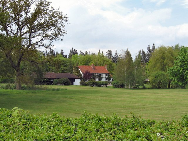
Canon's Wood is a beautiful forest located in Hertfordshire, England. It covers an area of approximately 500 acres and is a popular destination for nature lovers and outdoor enthusiasts. The wood is named after the Canon family, who were major landowners in the area during the 18th and 19th centuries.
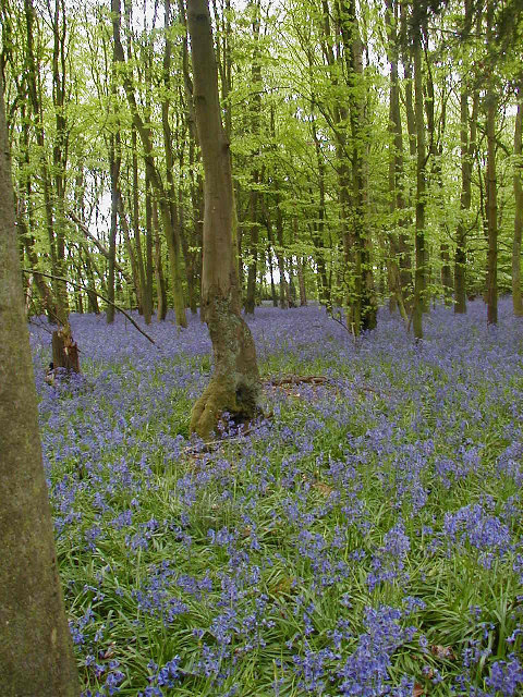
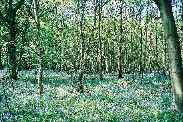
The woodland consists primarily of broad-leaved trees such as oak, beech, and birch, creating a diverse and vibrant ecosystem. It is home to a variety of wildlife, including deer, foxes, and numerous bird species. The wood is also known for its rich flora, with carpets of bluebells and other wildflowers adding to its natural beauty.
There are several walking trails that wind their way through Canon's Wood, allowing visitors to explore the enchanting surroundings. These paths offer peaceful and tranquil experiences, perfect for those seeking a break from the hustle and bustle of daily life. The wood also provides an excellent opportunity for nature photography, with its picturesque scenery and abundant wildlife.
Canon's Wood is easily accessible, with ample parking facilities available nearby. It is a popular destination for families, dog walkers, and nature enthusiasts alike, offering a peaceful and serene escape into nature. Whether visitors are interested in wildlife spotting, photography, or simply enjoying a leisurely walk, Canon's Wood is a delightful place to explore and immerse oneself in the beauty of the natural world.
If you have any feedback on the listing, please let us know in the comments section below.
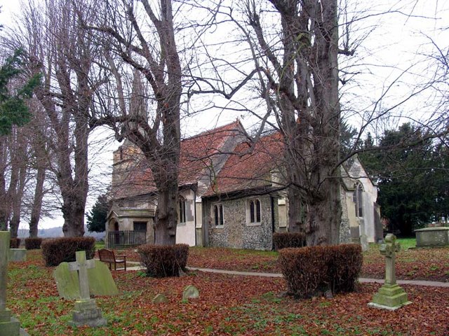
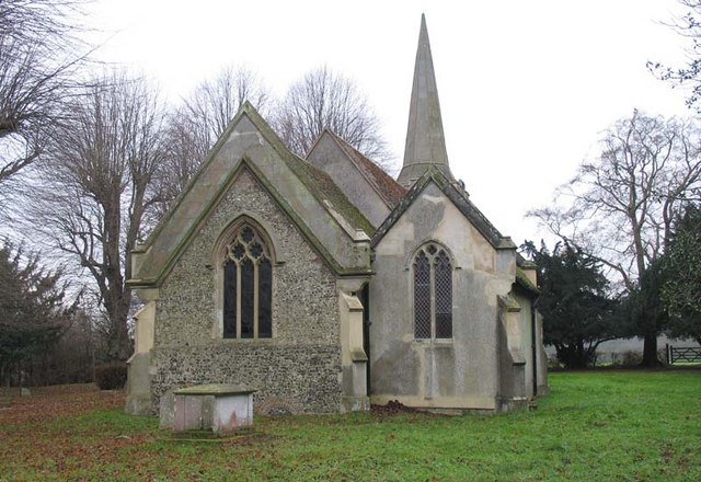
Canon's Wood Images
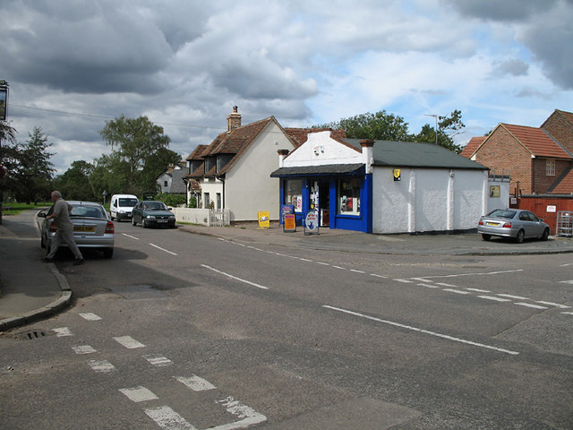
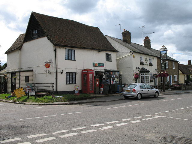
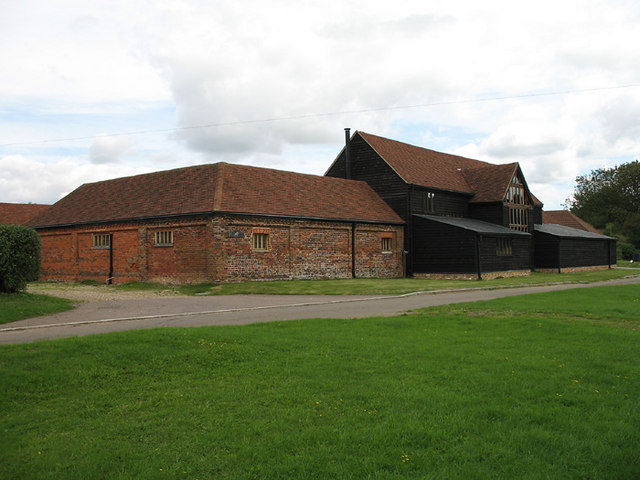
Images are sourced within 2km of 51.83492/-0.14674061 or Grid Reference TL2716. Thanks to Geograph Open Source API. All images are credited.


Canon's Wood is located at Grid Ref: TL2716 (Lat: 51.83492, Lng: -0.14674061)
Administrative County: Hertfordshire
District: East Hertfordshire
Police Authority: Hertfordshire
What 3 Words
///skin.train.winks. Near Datchworth, Hertfordshire
Nearby Locations
Related Wikis
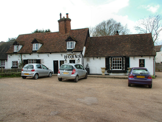
The Horns, Bull's Green
The Horns is a public house in Datchworth, Hertfordshire, England. It is situated on Bramfield Road in Bull's Green, a hamlet in the parish of Datchworth...

Tewin Orchard and Hopkyns Wood
Tewin Orchard and Hopkyns Wood is a 4.3-hectare (11-acre) nature reserve in Tewin in Hertfordshire. It is managed by the Herts and Middlesex Wildlife Trust...

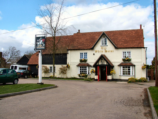
The White Horse, Burnham Green
The White Horse is a grade II listed public house in Whitehorse Lane, Burnham Green, in the parish of Datchworth in Hertfordshire. The building dates from...

Hopper's Hall
Hopper's Hall is a grade II listed house in Watton Road, Datchworth, Hertfordshire. It dates from around 1640 with minor additions and alterations since...

The Tilbury, Datchworth
The Tilbury is a public house and restaurant in Datchworth, Hertfordshire, England. It was formerly known as The Inn on the Green and The Three Horseshoes...

Bramfield, Hertfordshire
Bramfield is a village and civil parish in the East Hertfordshire district, in the county of Hertfordshire, England. Nearby settlements include Hertford...

Tewin
Tewin is an English village and civil parish in Hertfordshire, England between the towns of Welwyn Garden City, Stevenage, Welwyn (village) and the county...
Broadway Malyan
Broadway Malyan is a global architecture, urbanism and design practice. It was established in 1958 by architects Cyril Broadway and John Malyan. Among...
Nearby Amenities
Located within 500m of 51.83492,-0.14674061Have you been to Canon's Wood?
Leave your review of Canon's Wood below (or comments, questions and feedback).