Brickground Wood
Wood, Forest in Hertfordshire East Hertfordshire
England
Brickground Wood

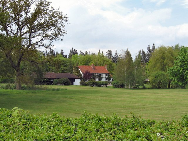
Brickground Wood is a picturesque woodland located in Hertfordshire, England. Covering an area of approximately 50 acres, it is a popular destination for nature enthusiasts and outdoor enthusiasts alike. The wood is situated in close proximity to the village of Brickground, hence its name.
The woodland is predominantly composed of native broadleaf trees, such as oak, ash, and beech. These trees create a dense canopy, providing shelter and an ideal habitat for a wide variety of wildlife. Visitors to Brickground Wood can expect to encounter a range of bird species, including woodpeckers, thrushes, and owls. Mammals such as foxes, badgers, and deer can also be spotted within the woodland.
The wood offers several walking trails, which wind their way through the ancient trees and provide visitors with the opportunity to immerse themselves in the tranquil surroundings. These paths are well-maintained and suitable for walkers of all abilities. Additionally, there are designated picnic areas and benches throughout, allowing visitors to rest and enjoy the natural beauty of the wood.
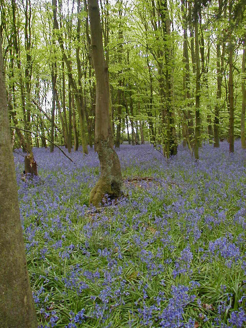
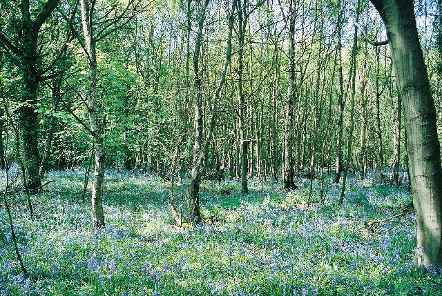
Brickground Wood is not only a haven for wildlife but also for wildflowers. In spring and summer, the forest floor becomes a colorful carpet of bluebells, daffodils, and primroses, creating a stunning sight. It is a popular location for photographers and artists seeking inspiration from nature's beauty.
Overall, Brickground Wood is a cherished natural treasure in Hertfordshire, offering a peaceful retreat for those seeking to escape the hustle and bustle of everyday life and immerse themselves in the wonders of the natural world.
If you have any feedback on the listing, please let us know in the comments section below.
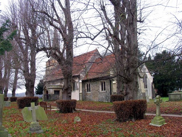
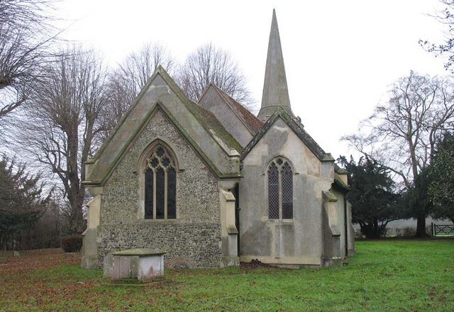
Brickground Wood Images
Images are sourced within 2km of 51.83338/-0.14543952 or Grid Reference TL2716. Thanks to Geograph Open Source API. All images are credited.


Brickground Wood is located at Grid Ref: TL2716 (Lat: 51.83338, Lng: -0.14543952)
Administrative County: Hertfordshire
District: East Hertfordshire
Police Authority: Hertfordshire
What 3 Words
///clock.safely.craft. Near Datchworth, Hertfordshire
Nearby Locations
Related Wikis
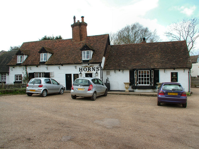
The Horns, Bull's Green
The Horns is a public house in Datchworth, Hertfordshire, England. It is situated on Bramfield Road in Bull's Green, a hamlet in the parish of Datchworth...

Tewin Orchard and Hopkyns Wood
Tewin Orchard and Hopkyns Wood is a 4.3-hectare (11-acre) nature reserve in Tewin in Hertfordshire. It is managed by the Herts and Middlesex Wildlife Trust...

Bramfield, Hertfordshire
Bramfield is a village and civil parish in the East Hertfordshire district, in the county of Hertfordshire, England. Nearby settlements include Hertford...

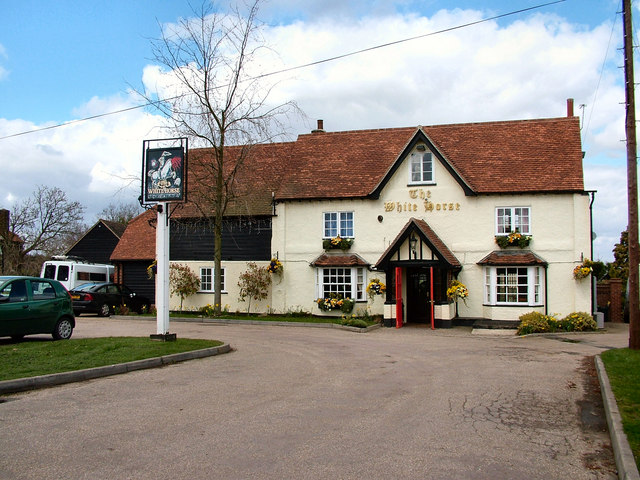
The White Horse, Burnham Green
The White Horse is a grade II listed public house in Whitehorse Lane, Burnham Green, in the parish of Datchworth in Hertfordshire. The building dates from...

Hopper's Hall
Hopper's Hall is a grade II listed house in Watton Road, Datchworth, Hertfordshire. It dates from around 1640 with minor additions and alterations since...

The Tilbury, Datchworth
The Tilbury is a public house and restaurant in Datchworth, Hertfordshire, England. It was formerly known as The Inn on the Green and The Three Horseshoes...

Tewin
Tewin is an English village and civil parish in Hertfordshire, England between the towns of Welwyn Garden City, Stevenage, Welwyn (village) and the county...
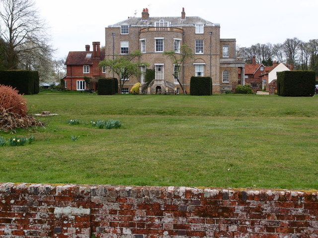
Marden Hill
Marden Hill is a Grade II* listed country house close to the village of Tewin, Hertfordshire.The house, originally Jacobean but substantially rebuilt in...
Nearby Amenities
Located within 500m of 51.83338,-0.14543952Have you been to Brickground Wood?
Leave your review of Brickground Wood below (or comments, questions and feedback).