Hale's Wood

Wood, Forest in Hertfordshire East Hertfordshire

England

Hale's Wood

Harwood Park Crematorium. I took this photograph just before attending a funeral here.  Note the blue sky.  Within 20 minutes the sky was black, it started thundering and hailing - just as the congregation started on "morning has broken".  Just like a scene from "The Exorsist or The Omen.
Harwood Park Crematorium. Credit: Robin Hall

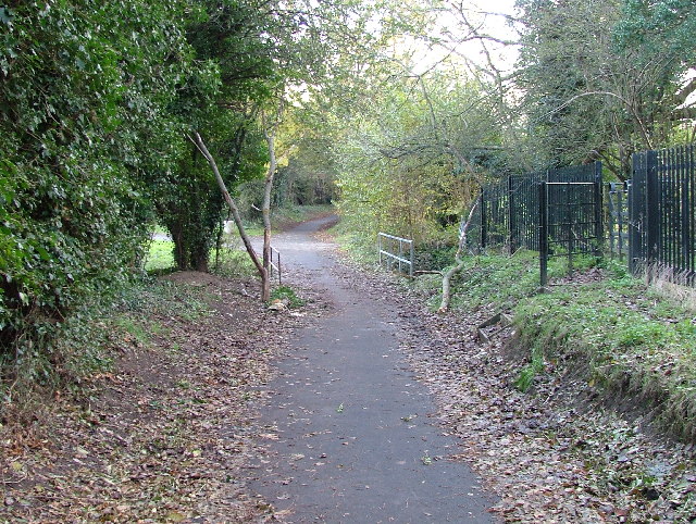
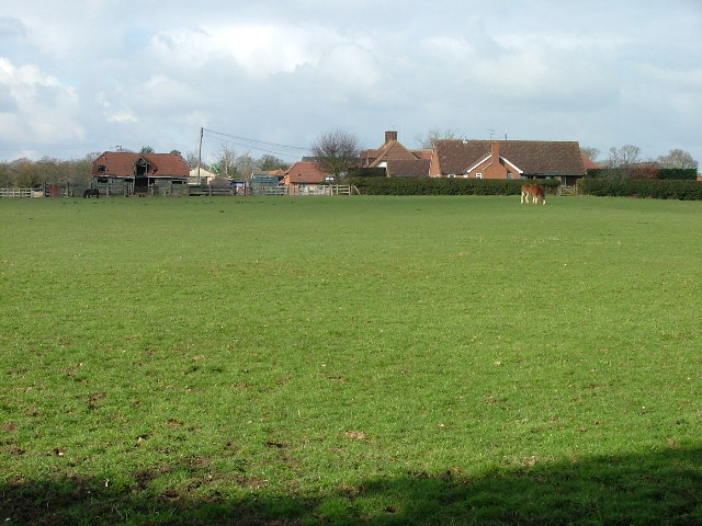
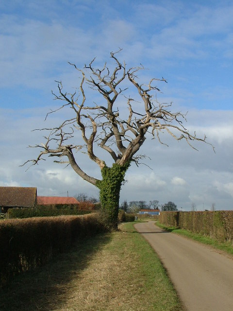
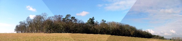
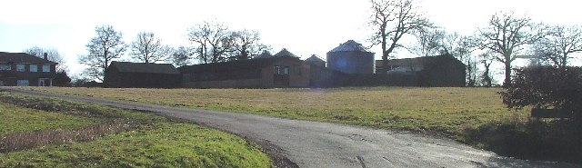
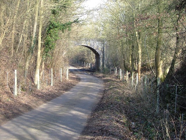
Hale's Wood is a picturesque woodland located in the county of Hertfordshire, England. This enchanting forest covers an area of approximately 50 acres and is nestled within the rural landscape, making it a popular destination for nature enthusiasts and outdoor enthusiasts alike.

The wood is home to a diverse array of tree species, including oak, beech, and silver birch, which create a stunning canopy that provides shade and shelter for the woodland floor. The forest floor is adorned with a rich tapestry of wildflowers, ferns, and mosses, adding to the wood's natural beauty.

Visitors to Hale's Wood can enjoy a variety of activities, including scenic walks along well-maintained trails that wind through the woodland. These trails offer breathtaking views of the surrounding countryside and provide an opportunity to observe the local wildlife, such as squirrels, birds, and even the occasional deer.

For those seeking a tranquil spot to relax, there are several designated picnic areas scattered throughout the wood, where visitors can unwind amidst the serene surroundings. Additionally, Hale's Wood is a favored spot for photographers, as it offers countless opportunities to capture the beauty of nature.

The wood is well-maintained by local authorities, ensuring that its natural habitat remains preserved. It is easily accessible to the public, with car parking facilities available nearby. Whether one is looking for a peaceful stroll, a family picnic, or a chance to immerse oneself in nature, Hale's Wood in Hertfordshire offers a delightful escape into the tranquility of the English countryside.

If you have any feedback on the listing, please let us know in the comments section below.
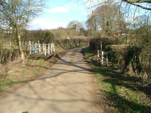
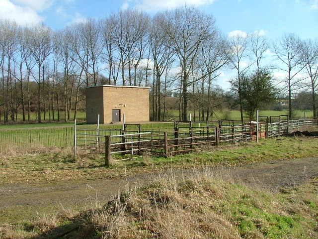
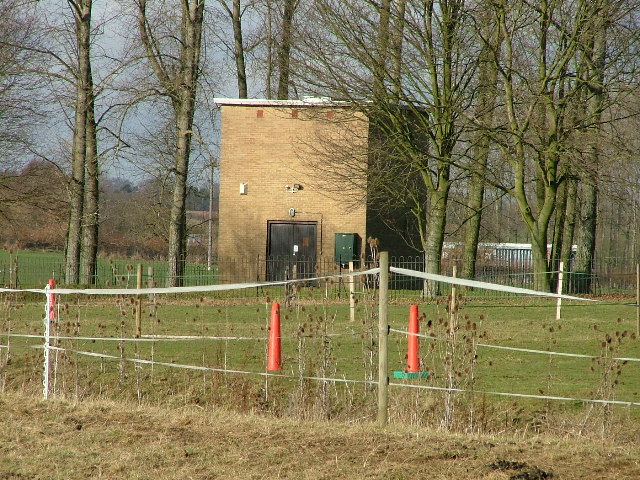
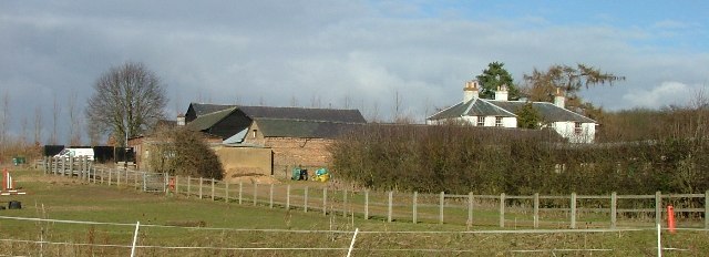
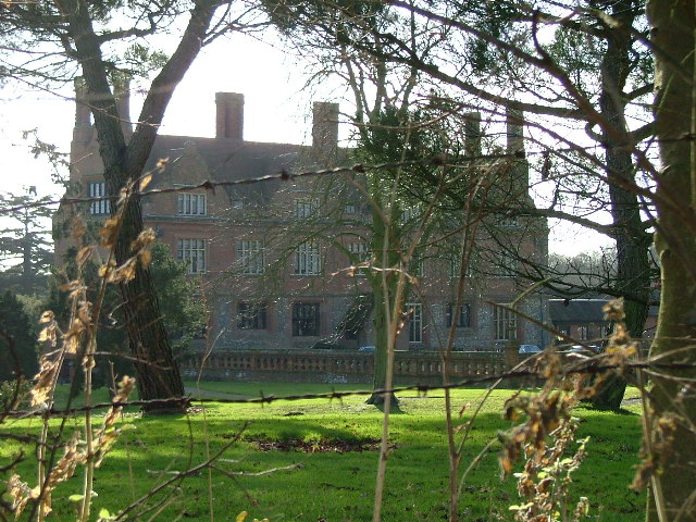
Hale's Wood Images

Images are sourced within 2km of 51.868413/-0.14489929 or Grid Reference TL2720. Thanks to Geograph Open Source API. All images are credited.

Harwood Park Crematorium. I took this photograph just before attending a funeral here.  Note the blue sky.  Within 20 minutes the sky was black, it started thundering and hailing - just as the congregation started on "morning has broken".  Just like a scene from "The Exorsist or The Omen.
Harwood Park Crematorium.
I took this photograph just before attending a funeral here. Note the blue sky. Within 20 minutes the sky was black, it started thundering and hailing - just as the congregation started on "morning has broken". Just like a scene from "The Exorsist or The Omen.
Footbridge over Stevenage Brook. This footpath runs parallel to and within 30 yards of the main Stevenage - Hertford Road.
Footbridge over Stevenage Brook.
This footpath runs parallel to and within 30 yards of the main Stevenage - Hertford Road.
Shops in Kenilworth Close. Supermarket, newsagent, Chinese takeaway and alternative therapist.
Shops in Kenilworth Close.
Supermarket, newsagent, Chinese takeaway and alternative therapist.
Footbridge and Ford over River Beane. "River" is a bit of a grand description for what is little more than a trickle at this point (although other images for this square and the one to the north suggest that it can get pretty wet down here).
Footbridge and Ford over River Beane.
"River" is a bit of a grand description for what is little more than a trickle at this point (although other images for this square and the one to the north suggest that it can get pretty wet down here).
Pumping house and cattle crush at Ford across River Beane. One of a pair of similar pumping houses on the River Beane.
Pumping house and cattle crush at Ford across River Beane.
One of a pair of similar pumping houses on the River Beane.
Pumping station on River Beane. For some reason this trickle known as the River (river?) Beane has a cluster of pumping stations near this spot.  The neighbour is Whitehall Pumping Station Number 1.  So this must be number 2 then.
Pumping station on River Beane.
For some reason this trickle known as the River (river?) Beane has a cluster of pumping stations near this spot. The neighbour is Whitehall Pumping Station Number 1. So this must be number 2 then.
White Hall Farm Taken on a lovely sunny day.  Other days are also available.
White Hall Farm
Taken on a lovely sunny day. Other days are also available.
Aston Bury. The best shot that I could manage without trespassing.
Aston Bury.
The best shot that I could manage without trespassing.
Astonbury Bury Farm Across the fields from Aston Bury.
Astonbury Bury Farm
Across the fields from Aston Bury.
Dead roadside tree.
Dead roadside tree.
Pallett's Wood. A stitched together panorama.  The sky didn't really look exactly like that.
Pallett's Wood.
A stitched together panorama. The sky didn't really look exactly like that.
Hazel Farm Photographed into the sun I'm afraid.
Hazel Farm
Photographed into the sun I'm afraid.
Raffin Lane passes under the Hertford loop of the Stevenage - London railway. Hale's Wood on the left.
Raffin Lane passes under the Hertford loop of the Stevenage - London railway.
Hale's Wood on the left.
Stevenage Brook near Oaks Cross farm
Oaks Cross Farm. The OS map doesn't show this track leading to the farm.  It is there though.
Oaks Cross Farm.
The OS map doesn't show this track leading to the farm. It is there though.
Pumping house near White Hall Farm. It really must get very wet down this stretch of the Beane.  This is one of four pumping stations within a few hundred yards of each other.
Pumping house near White Hall Farm.
It really must get very wet down this stretch of the Beane. This is one of four pumping stations within a few hundred yards of each other.
Watton at Stone: A602 Bypass Viewed looking from the Walkern Road overbridge.
Watton at Stone: A602 Bypass
Viewed looking from the Walkern Road overbridge.
Bragbury End: Bragbury Lane railway bridge This fine skewed bridge dates from the very end of the main railway building era and was built by the Great Northern Railway on their Enfield and Stevenage Loop Line. It is present on the Ordnance Survey map of 1923 but not on the edition of 1899, which gives some clue as to when the railway was built.
Bragbury End: Bragbury Lane railway bridge
This fine skewed bridge dates from the very end of the main railway building era and was built by the Great Northern Railway on their Enfield and Stevenage Loop Line. It is present on the Ordnance Survey map of 1923 but not on the edition of 1899, which gives some clue as to when the railway was built.
Show me another place!

Hale's Wood is located at Grid Ref: TL2720 (Lat: 51.868413, Lng: -0.14489929)

Administrative County: Hertfordshire

District: East Hertfordshire

Police Authority: Hertfordshire

What 3 Words

///frame.jars.frogs. Near Datchworth, Hertfordshire

Related Wikis

A602 road

The A602 is a road linking Hitchin in Hertfordshire, England, with A10 at Ware in Hertfordshire, via Stevenage. The course of the road has changed significantly...

Aston Bury

Aston Bury is a manor house near Aston, Hertfordshire, England. It is Grade I listed building.It was built in the mid 17th century, possibly by the Boteler...

Datchworth

Datchworth is a village and civil parish between the towns of Hertford, Stevenage and Welwyn Garden City in the county of Hertfordshire, England. Sited...

Bragbury End

Bragbury End is a hamlet in Hertfordshire, England, and the location of Stevenage F.C.'s training ground.

Watton-at-Stone railway station

Watton-at-Stone railway station serves the village of Watton-at-Stone in Hertfordshire, England. It is 23 miles 72 chains (23.90 miles, 38.46 km) down...

Stevenage (UK Parliament constituency)

Stevenage is a constituency in Hertfordshire represented in the House of Commons of the UK Parliament since 2010 by Stephen McPartland, a member of the...

Aston, Hertfordshire

Aston is a village and civil parish in the East Hertfordshire district of Hertfordshire, England. According to the 2001 census it had a population of...

Ridlins Mire

Ridlins Mire is a 1.6-hectare (4.0-acre) nature reserve managed by the Herts and Middlesex Wildlife Trust in Stevenage, Hertfordshire, England.This wetland...

Nearby Amenities

Located within 500m of 51.868413,-0.14489929
Hooks Cross
Created By: YahooApplet 1.0
Place: hamlet
Lat/Long: 51.8701166/-0.1441687
Bus Stop
The Three Horseshoes
Bench: no
Bin: no
Lit: yes
Naptan AtcoCode: 210021300020
Naptan Bearing: SE
Naptan CommonName: The Three Horseshoes
Naptan Crossing: opp Caravan Park
Naptan Indicator: opp
Naptan Landmark: opp Caravan Park
Naptan NaptanCode: hrtdwdtw
Naptan ShortCommonName: NA
Naptan Street: A602
Naptan Verified: no
Shelter: no
Source: naptan_import
Tactile Paving: no
Lat/Long: 51.8710267/-0.1472796
Oaks Cross Farm
Naptan AtcoCode: 210021300030
Naptan Bearing: SE
Naptan BusStopType: CUS
Naptan CommonName: Oaks Cross Farm
Naptan Crossing: opp Raffin Green Lane
Naptan Indicator: adj
Naptan Landmark: opp Raffin Green Lane
Naptan NaptanCode: hrtdwdwa
Naptan ShortCommonName: NA
Naptan Street: A602
Naptan Verified: no
Source: naptan_import
Lat/Long: 51.8688963/-0.1402692
Oaks Cross Farm
Naptan AtcoCode: 210021313060
Naptan Bearing: NW
Naptan BusStopType: CUS
Naptan CommonName: Oaks Cross Farm
Naptan Crossing: Raffin Green Lane
Naptan Indicator: opp
Naptan Landmark: Raffin Green Lane
Naptan NaptanCode: hrtdmtjg
Naptan ShortCommonName: NA
Naptan Street: A602
Naptan Verified: no
Source: naptan_import
Lat/Long: 51.8686075/-0.1402085
Bus Stop
The Three Horseshoes
Bus: yes
Naptan AtcoCode: 210021313080
Naptan Bearing: NW
Naptan BusStopType: CUS
Naptan CommonName: The Three Horseshoes PH
Naptan Crossing: Caravan Park
Naptan Indicator: o/s
Naptan Landmark: Caravan Park
Naptan NaptanCode: hrtdmtjm
Naptan PlusbusZoneRef: STEVNGE
Naptan ShortCommonName: NA
Naptan Street: A602
Naptan Verified: no
Public Transport: platform
Source: naptan_import
Lat/Long: 51.8705896/-0.146773
Pub
The Three Horseshoes
Lat/Long: 51.8703007/-0.1470304
Post Box
Hooks Cross
Collection Times: Mo-Fr 16:30; Sa 08:00
Post Box Type: lamp
Ref: SG14 47
Royal Cypher: EIIR
Royal Cypher Wikidata: Q33102113
Lat/Long: 51.8705789/-0.1468083
Material: wood
Power: pole
Lat/Long: 51.8684282/-0.1437012
Power: pole
Lat/Long: 51.8680087/-0.1421838
Power: pole
Lat/Long: 51.8705464/-0.1510156
Power: pole
Lat/Long: 51.867191/-0.139281
Power: pole
Lat/Long: 51.8700065/-0.1492963
Material: wood
Power: pole
Lat/Long: 51.8684316/-0.1439869
Power: pole
Lat/Long: 51.869433/-0.1472866
Power: pole
Lat/Long: 51.8675449/-0.1405584
Board Type: wildlife
Check Date: 2021-03-28
Information: board
Tourism: information
Lat/Long: 51.8706477/-0.1450047
Barrier: kissing_gate
Lat/Long: 51.8711208/-0.1473728
Booth: K6
Covered: booth
Disused Amenity: telephone
Man Made: telephone_box
Lat/Long: 51.869245/-0.1415348
Power: pole
Lat/Long: 51.8696226/-0.1480037
Power: pole
Lat/Long: 51.8692663/-0.1467344
Power: pole
Lat/Long: 51.8687226/-0.1449961
The data included in this document is from www.openstreetmap.org. The data is made available under ODbL.

Have you been to Hale's Wood?

Leave your review of Hale's Wood below (or comments, questions and feedback).