Cockayne Hatley Wood
Wood, Forest in Bedfordshire
England
Cockayne Hatley Wood
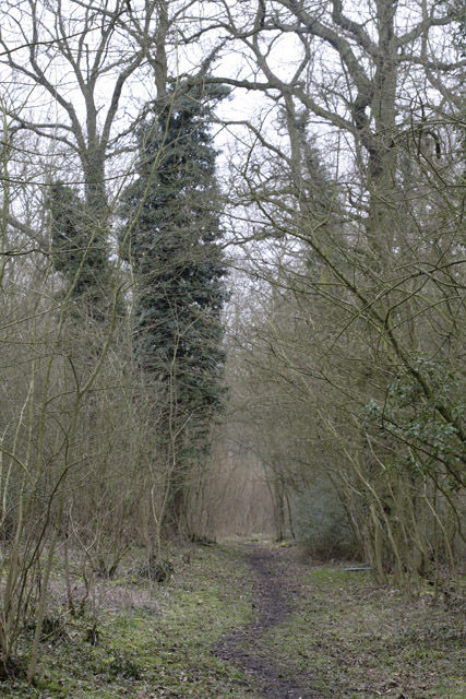
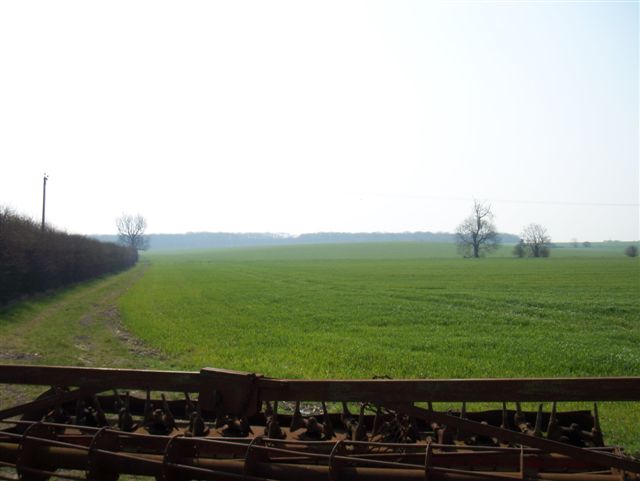
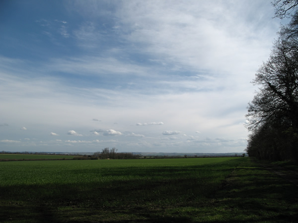
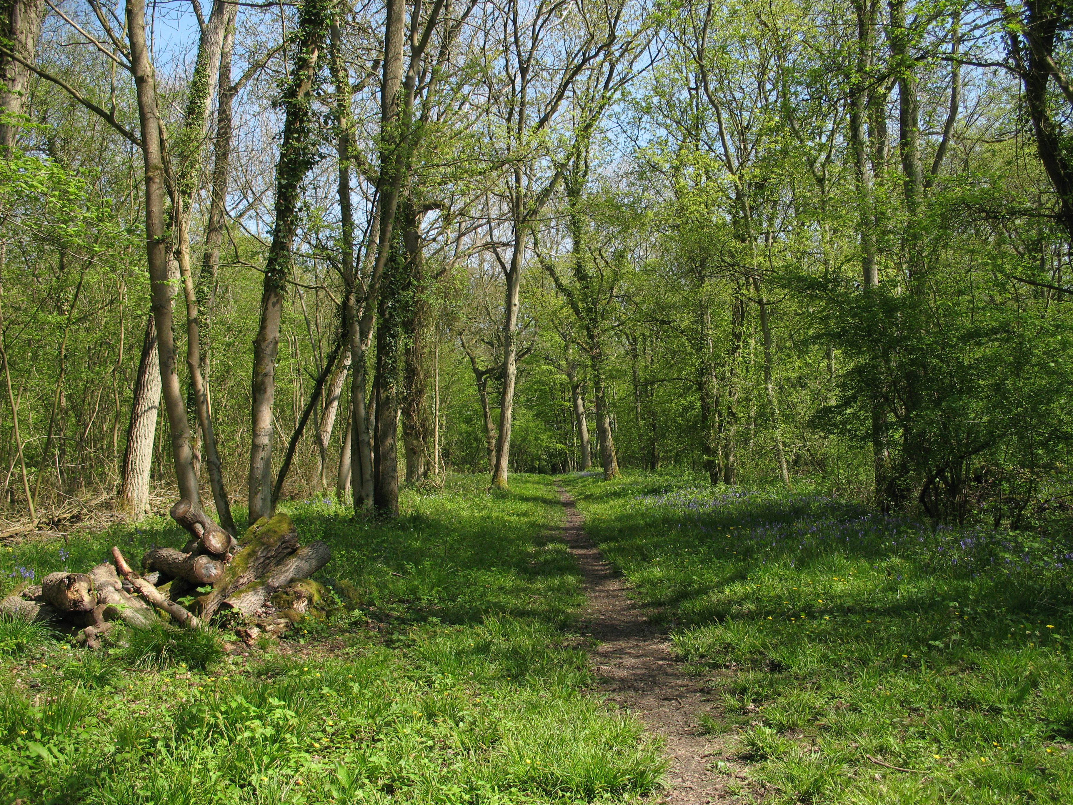
Cockayne Hatley Wood is a serene and picturesque woodland located in the county of Bedfordshire, England. Stretching over an area of approximately 100 acres, it is one of the region's most cherished natural treasures. The woodland is situated in the village of Cockayne Hatley, nestled between the towns of Biggleswade and Sandy.
The wood is primarily composed of a mixture of deciduous and coniferous trees, including oak, birch, beech, and pine, creating a diverse and enchanting landscape. The trees provide a sanctuary for a multitude of wildlife species, including deer, foxes, badgers, and numerous bird species, making it a popular spot for nature enthusiasts and birdwatchers.
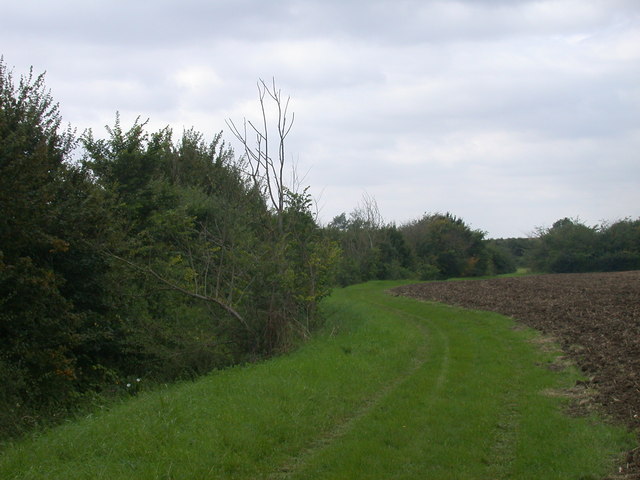
A network of well-maintained footpaths and trails wind their way through the wood, providing visitors with the opportunity to explore its beauty at their own pace. The paths are lined with wildflowers and undergrowth, creating a vibrant and colorful atmosphere during the spring and summer months.
Cockayne Hatley Wood is not only a place of natural beauty but also holds historical significance. It is believed to have been a hunting ground for the Hatley St. George Estate, with remnants of old hunting lodges and gamekeeper's cottages still visible today. The wood has also been designated as a Site of Special Scientific Interest (SSSI) due to its rich biodiversity and ecological importance.
Whether it be for a leisurely walk, a family picnic, or simply to escape the hustle and bustle of everyday life, Cockayne Hatley Wood offers a tranquil and idyllic setting for all who visit. Its natural charm and peaceful ambiance make it a true gem of Bedfordshire.
If you have any feedback on the listing, please let us know in the comments section below.
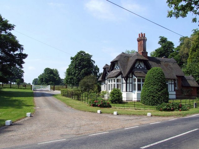
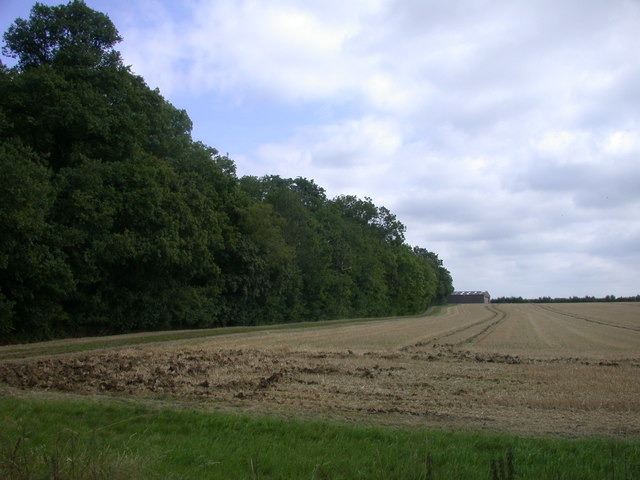
Cockayne Hatley Wood Images
Images are sourced within 2km of 52.139318/-0.15111182 or Grid Reference TL2650. Thanks to Geograph Open Source API. All images are credited.


Cockayne Hatley Wood is located at Grid Ref: TL2650 (Lat: 52.139318, Lng: -0.15111182)
Unitary Authority: Central Bedfordshire
Police Authority: Bedfordshire
What 3 Words
///gone.volume.shimmered. Near Gamlingay, Cambridgeshire
Nearby Locations
Related Wikis
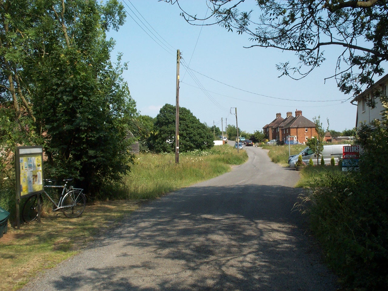
Cockayne Hatley
Cockayne Hatley is a village and former civil parish, now in the parish of Wrestlingworth and Cockayne Hatley, in the Central Bedfordshire district of...

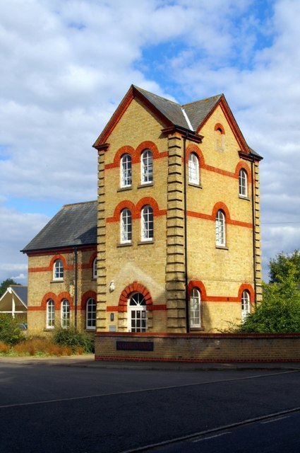
Potton Wood
Potton Wood covers an area of 85ha (211 acres) and is two miles east of the small town of Potton in the county of Bedfordshire, England. It is part of...
Hatley, Cambridgeshire
Hatley is a civil parish in South Cambridgeshire, England. It lies between the villages of Gamlingay and Croydon, 12 miles south-west of the city of Cambridge...
Buff Wood
Buff Wood is a 15.8-hectare (39-acre) biological Site of Special Scientific Interest in Hatley in Cambridgeshire. It is managed by the Wildlife Trust for...
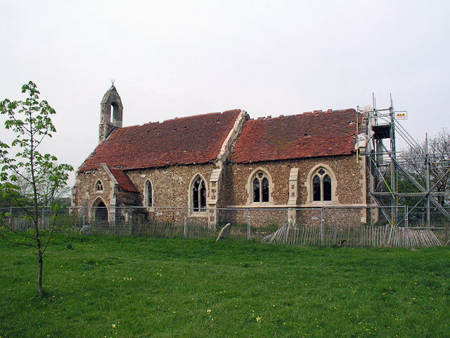
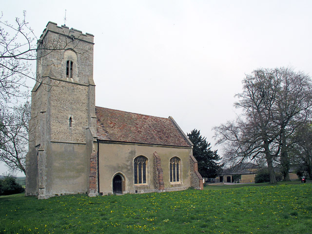
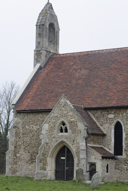
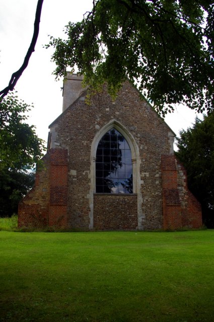
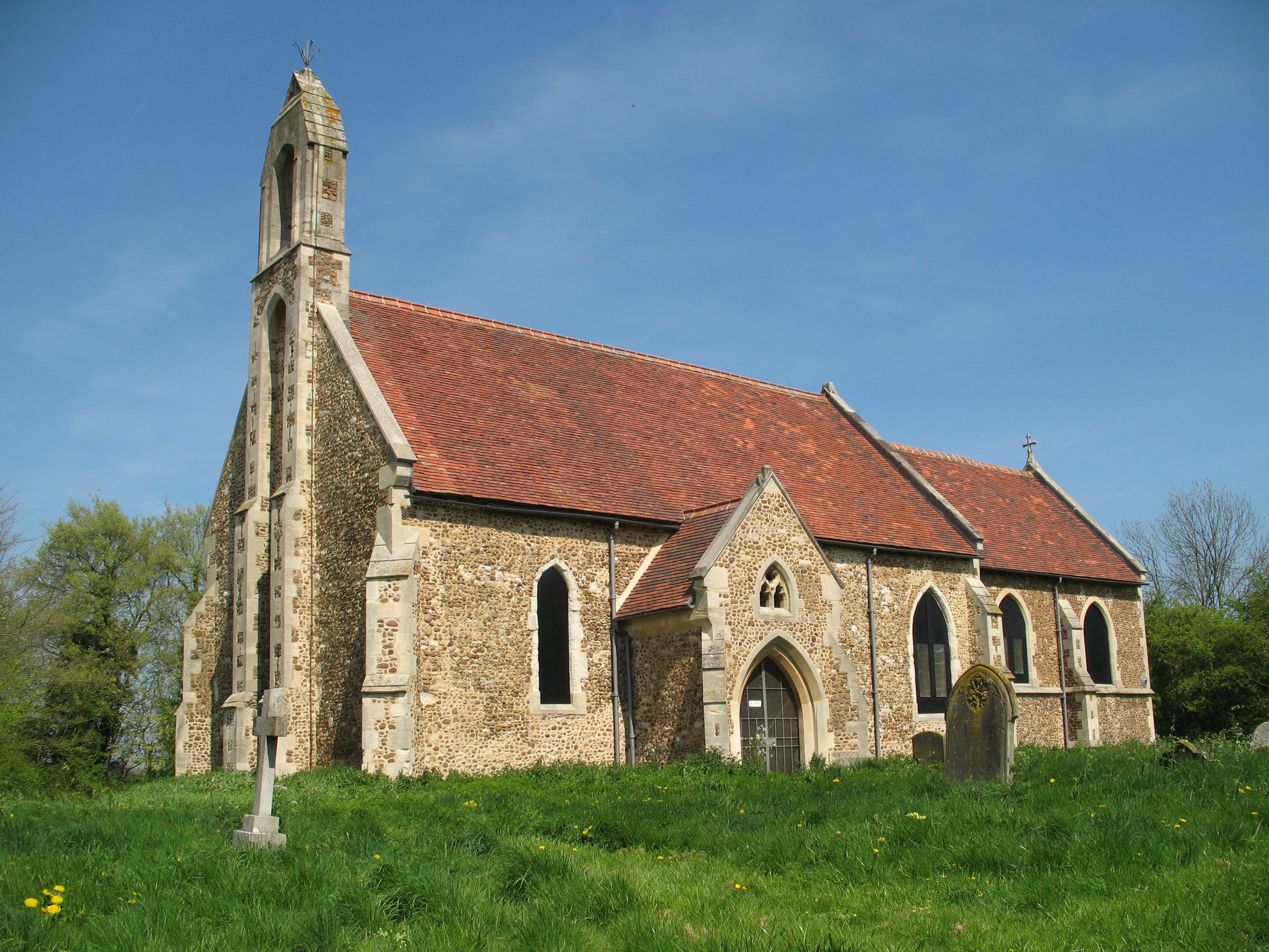
St Denis Church, East Hatley
St Denis' Church, East Hatley is a deconsecrated church in East Hatley in Cambridgeshire, England. It is a listed building, Grade 2*, and the building...

Wrestlingworth and Cockayne Hatley
Wrestlingworth and Cockayne Hatley is a civil parish in Bedfordshire, England. It was formed when the ancient parishes of Wrestlingworth and Cockayne Hatley...
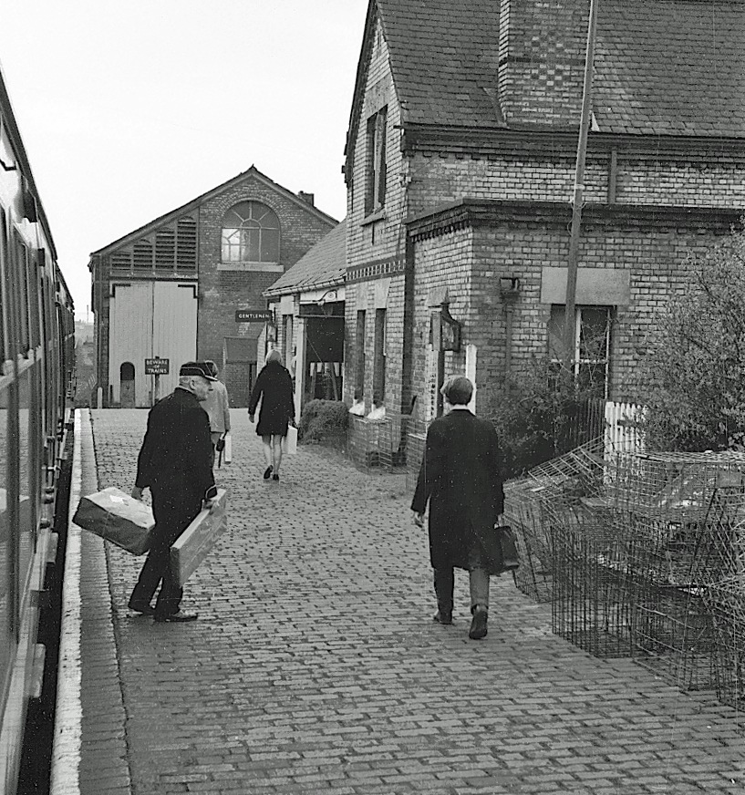
Gamlingay railway station
Gamlingay railway station was a railway station on the Varsity Line which served the small village of Gamlingay in Cambridgeshire, England. The station...
Gamlingay Village College
Gamlingay Village College was a middle school with academy status located in Gamlingay, Cambridgeshire, England. It was the only middle school in Cambridgeshire...
Nearby Amenities
Located within 500m of 52.139318,-0.15111182Have you been to Cockayne Hatley Wood?
Leave your review of Cockayne Hatley Wood below (or comments, questions and feedback).