Emmanuel Knoll Plantation

Wood, Forest in Huntingdonshire Huntingdonshire

England

Emmanuel Knoll Plantation

Ermine Street south of Godmanchester Here is a previous visit. <a title="https://www.geograph.org.uk/photo/6457995" href="https://www.geograph.org.uk/photo/6457995">Link</a>
Ermine Street south of Godmanchester Credit: David Howard

The requested URL returned error: 429 Too Many Requests

If you have any feedback on the listing, please let us know in the comments section below.

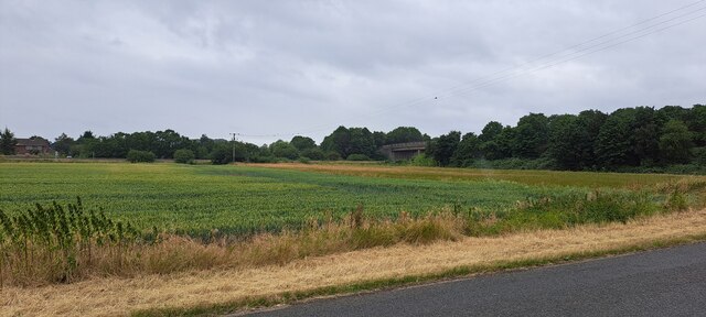
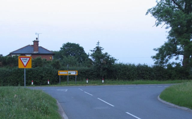
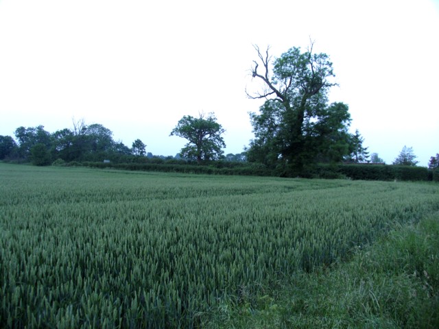
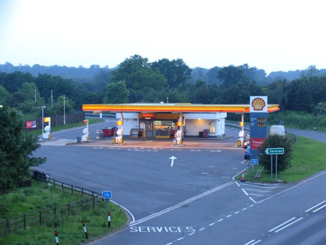
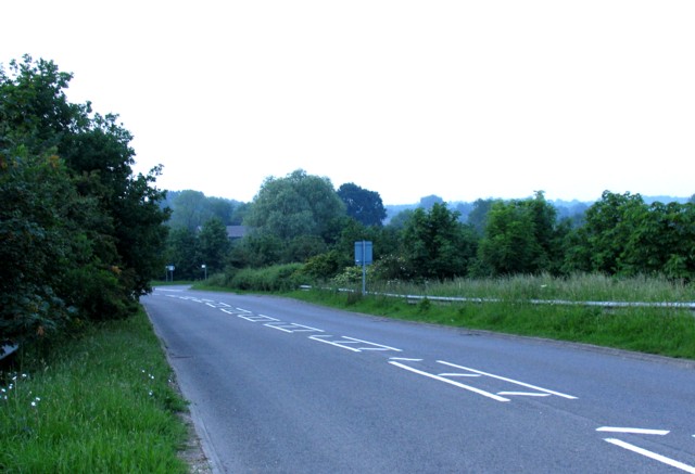
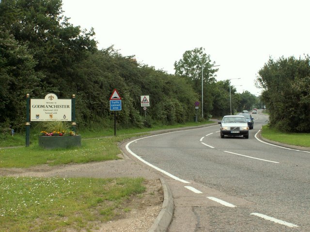
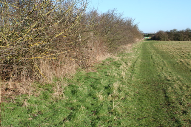
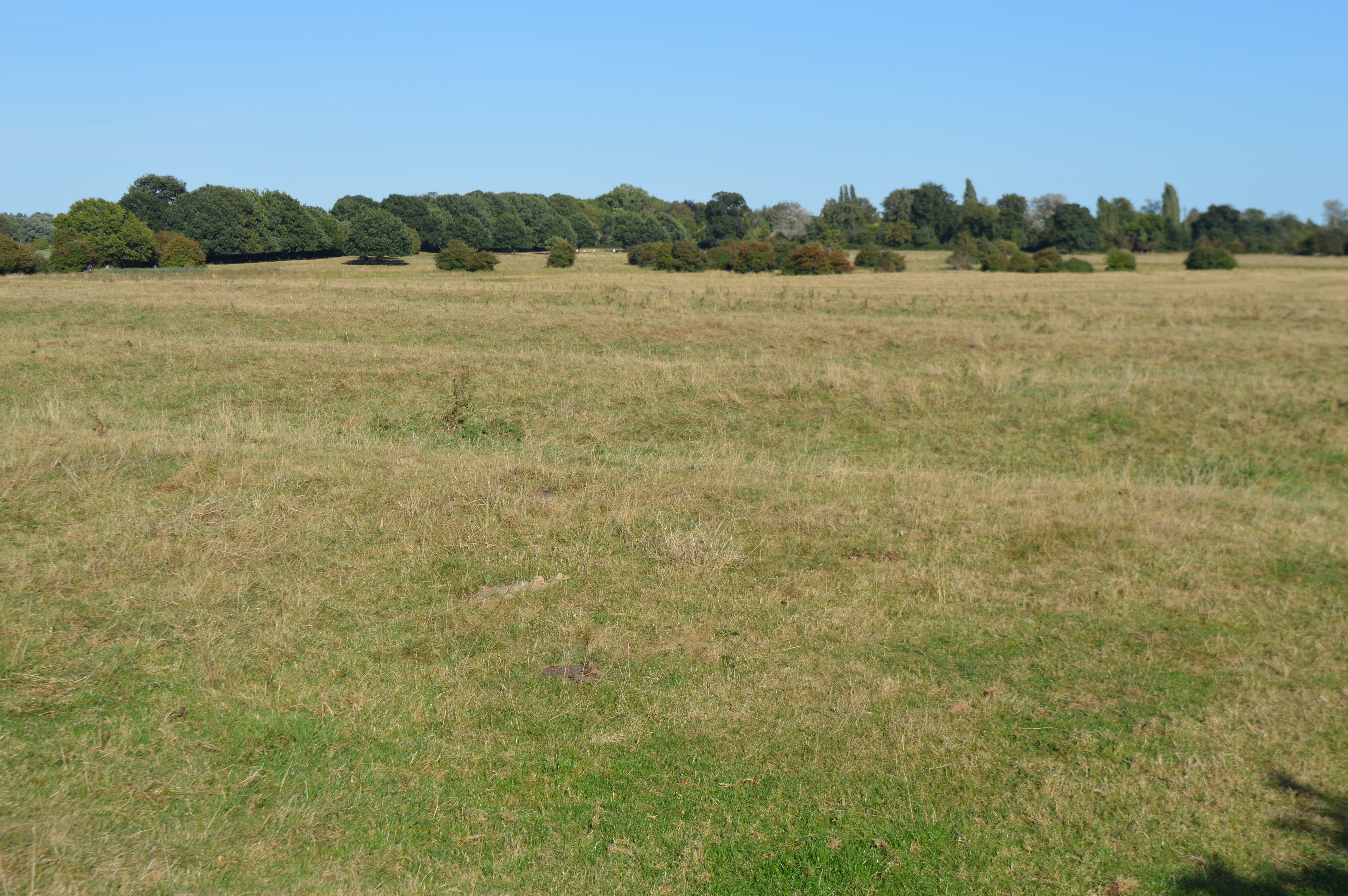
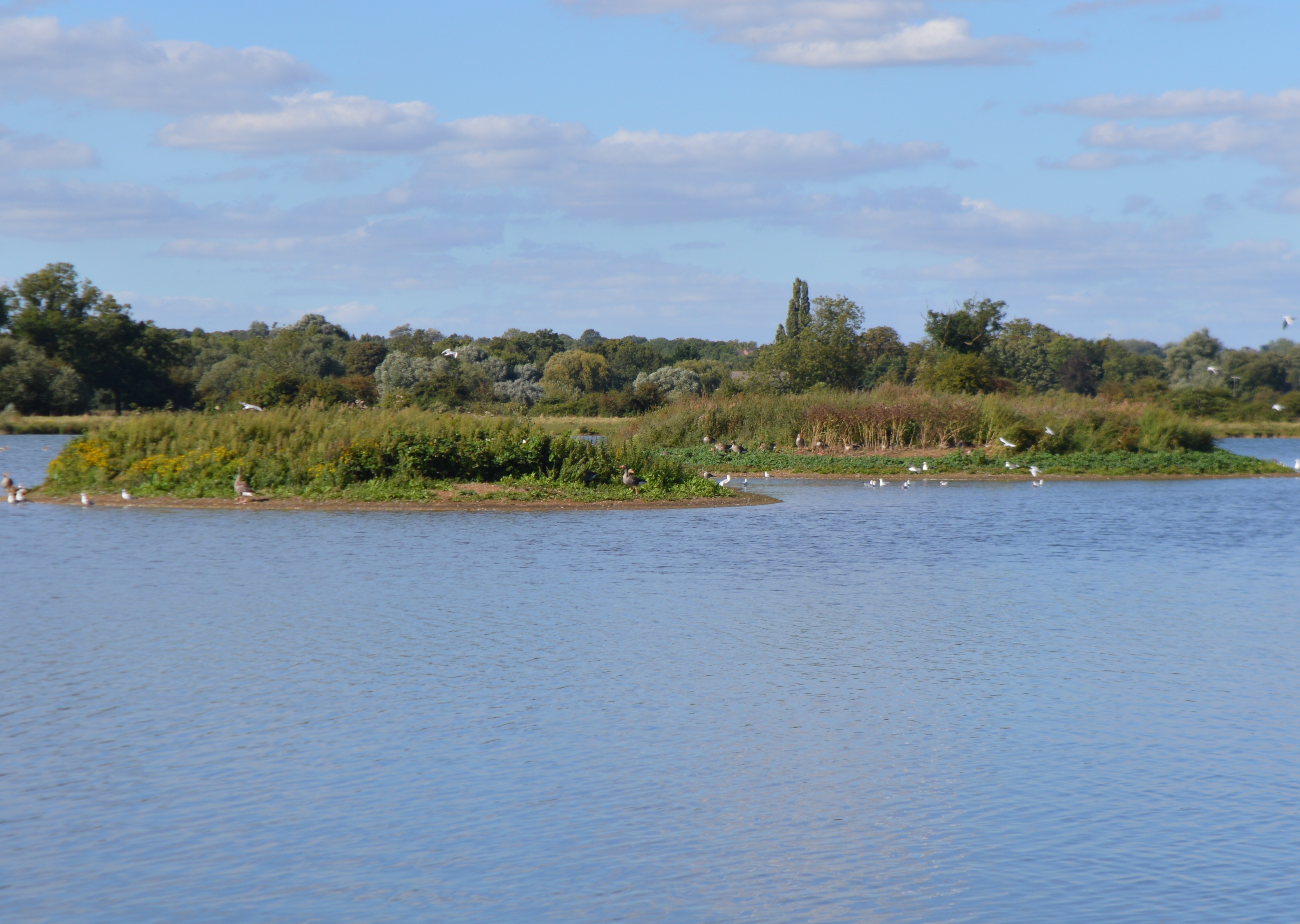
Emmanuel Knoll Plantation Images

Images are sourced within 2km of 52.31383/-0.14400894 or Grid Reference TL2670. Thanks to Geograph Open Source API. All images are credited.

Ermine Street south of Godmanchester Here is a previous visit. <a title="https://www.geograph.org.uk/photo/6457995" href="https://www.geograph.org.uk/photo/6457995">Link</a>
Ermine Street south of Godmanchester
Here is a previous visit. Link
View towards the A1307 south of Hemingford Abbots
Junction with New Road
Field alongside New Road
Services on the A14 near to Hemingford Abbots
Rideaway from the A14 overbridge
Moats' Way
Moats' Way
Moats' Way towards Littlebury Farm
Track to Moats' Way Equestrian The notice says "MOATS' WAY EQUESTRIAN FORMALLY BLACKLANDS BUSH FARM"
Track to Moats' Way Equestrian
The notice says "MOATS' WAY EQUESTRIAN FORMALLY BLACKLANDS BUSH FARM"
Wind Turbine and Mast at Wood Green Animal Shelter The turbine makes the Animal Shelter a prominent landmark on the A1198 (the old Ermine Street) south of Godmanchester.
Wind Turbine and Mast at Wood Green Animal Shelter
The turbine makes the Animal Shelter a prominent landmark on the A1198 (the old Ermine Street) south of Godmanchester.
Track to Debden Farm as seen from the A.1198
The southern end of Godmanchester This is the view as you arrive at Godmanchester from Royston. The straight section of road after the bend is the Roman road called Ermine Street.
The southern end of Godmanchester
This is the view as you arrive at Godmanchester from Royston. The straight section of road after the bend is the Roman road called Ermine Street.
Field boundary west of Moat's Way Farm Moat's Way Farm is a deserted farm and this bare field is less than a kilometre from the busy A14.
Field boundary west of Moat's Way Farm
Moat's Way Farm is a deserted farm and this bare field is less than a kilometre from the busy A14.
Field track west of Moat's Way Farm Just north and west of deserted Moat's Farm is a fairly flat track within a field. Due north is the busy A14 which hums in the background.
Field track west of Moat's Way Farm
Just north and west of deserted Moat's Farm is a fairly flat track within a field. Due north is the busy A14 which hums in the background.
Emmanuel Knoll Plantation This band of trees is seen through a field boundary west of Moat's Way Farm.
Emmanuel Knoll Plantation
This band of trees is seen through a field boundary west of Moat's Way Farm.
Field boundary west of Moat's Way Farm Facing north towards the A14, where a lorry can just be seen passing between the trees. This field is west of the deserted Moat's Way Farm.
Field boundary west of Moat's Way Farm
Facing north towards the A14, where a lorry can just be seen passing between the trees. This field is west of the deserted Moat's Way Farm.
Field track west of Moat's Way Farm This track faces east towards Moat's Way Farm, which can just be seen.
Field track west of Moat's Way Farm
This track faces east towards Moat's Way Farm, which can just be seen.
Track leading to Moat's Way Farm The gable end of a roof of the farm is indistinctly visible in the upper middle of this shot. The track seems rarely used and the farm is quite deserted, though the busy A14 is less than a kilometre away.
Track leading to Moat's Way Farm
The gable end of a roof of the farm is indistinctly visible in the upper middle of this shot. The track seems rarely used and the farm is quite deserted, though the busy A14 is less than a kilometre away.
Show me another place!

Emmanuel Knoll Plantation is located at Grid Ref: TL2670 (Lat: 52.31383, Lng: -0.14400894)

Administrative County: Cambridgeshire

District: Huntingdonshire

Police Authority: Cambridgeshire

What 3 Words

///pursue.onwards.curvy. Near Godmanchester, Cambridgeshire

Nearby Locations

Emmanuel Knoll Plantation

Related Wikis

Godmanchester Rovers F.C.

Godmanchester Rovers Football Club is a football club based in Godmanchester, Cambridgeshire, England. They are currently members of the United Counties...

Godmanchester Eastside Common

Godmanchester Eastside Common is a 29.7-hectare (73-acre) biological Site of Special Scientific Interest east of Godmanchester in Cambridgeshire. The site...

Godmanchester Nature Reserve

Godmanchester Nature Reserve is a 59-hectare nature reserve in Godmanchester in Cambridgeshire, England. It is managed by the Wildlife Trust for Bedfordshire...

Godmanchester

Godmanchester ( GOD-mən-ches-tər) is a town and civil parish in the Huntingdonshire district of Cambridgeshire, England. It is separated from Huntingdon...

Nearby Amenities

Located within 500m of 52.31383,-0.14400894
Motorway Junction
Godmanchester Interchange
Layer: 3
Old Ref: 24
Lat/Long: 52.3162255/-0.150033
Parking
Lat/Long: 52.3144276/-0.1419909
Power: pole
Lat/Long: 52.3161675/-0.1460035
Power: pole
Lat/Long: 52.3165134/-0.147704
Man Made: street_cabinet
Lat/Long: 52.3155789/-0.1477818
Colour: red and white
Marker: aerial
Utility: gas
Lat/Long: 52.3155333/-0.1476803
Colour: red and white
Marker: aerial
Utility: gas
Lat/Long: 52.3158504/-0.1474554
Traffic Sign: yes
Lat/Long: 52.3158084/-0.1475796
Emmanuel Knoll
Access: no
Archaeological Site: tumulus
Condition: extinct
End Date: 1914
Historic: archaeological_site
Period: roman
Source: Proc. Camb. Ant. Soc. Vol. LXIV (1973), pp. 15-23
Lat/Long: 52.3144855/-0.1440149
The data included in this document is from www.openstreetmap.org. The data is made available under ODbL.

Have you been to Emmanuel Knoll Plantation?

Leave your review of Emmanuel Knoll Plantation below (or comments, questions and feedback).