Emstrey

Settlement in Shropshire

England

Emstrey

Old Atcham Bridge Disused bridge over the River Severn that used to carry the A5 road.
Old Atcham Bridge Credit: Roy Hughes

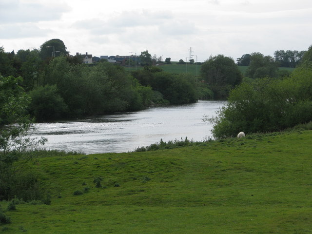
Emstrey is a small village located in the county of Shropshire, England. Situated just a few miles south of the town of Shrewsbury, Emstrey enjoys a picturesque setting amidst the rolling hills and lush green countryside of this rural county.

The village is known for its tranquil and idyllic atmosphere, attracting those seeking a peaceful escape from the bustling city life. Emstrey is characterized by its charming traditional cottages and well-maintained gardens, which add to its quintessential English village charm.

The surrounding area offers ample opportunities for outdoor activities, such as hiking, cycling, and horse riding, thanks to its proximity to the beautiful Shropshire Hills. Nature enthusiasts can explore the nearby Attingham Park, a National Trust property boasting stunning parklands, woodlands, and a grand Georgian mansion.

Emstrey benefits from its close proximity to Shrewsbury, a historic market town that offers a wide range of amenities, including shops, restaurants, and cultural attractions. Shrewsbury is also home to several notable landmarks, such as Shrewsbury Castle and the medieval Shrewsbury Abbey.

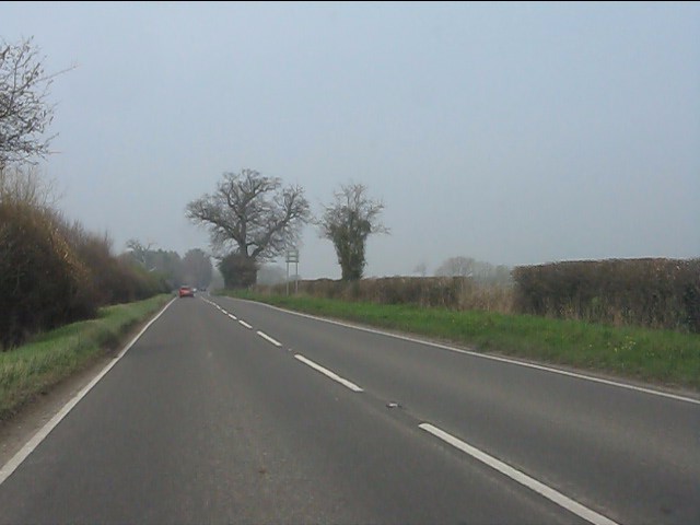
The village is well-connected by road and public transport, with regular bus services providing easy access to Shrewsbury and other surrounding towns. The nearby A5 road ensures convenient travel to other parts of Shropshire and the wider region.

In summary, Emstrey is a charming village in Shropshire, offering a peaceful and scenic retreat for residents and visitors alike, with its beautiful countryside, proximity to Shrewsbury, and access to outdoor activities making it an attractive destination.

If you have any feedback on the listing, please let us know in the comments section below.
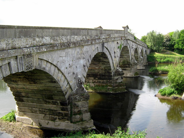
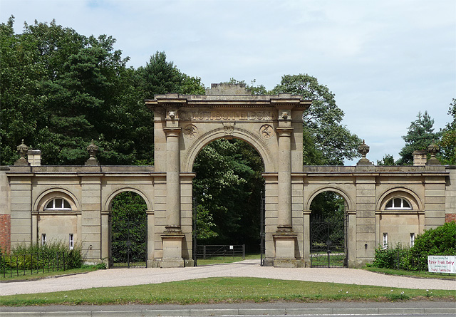
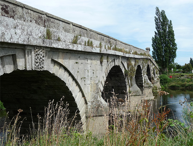
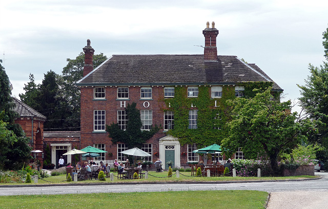
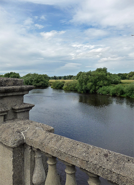
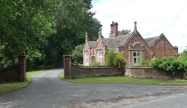
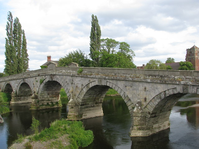
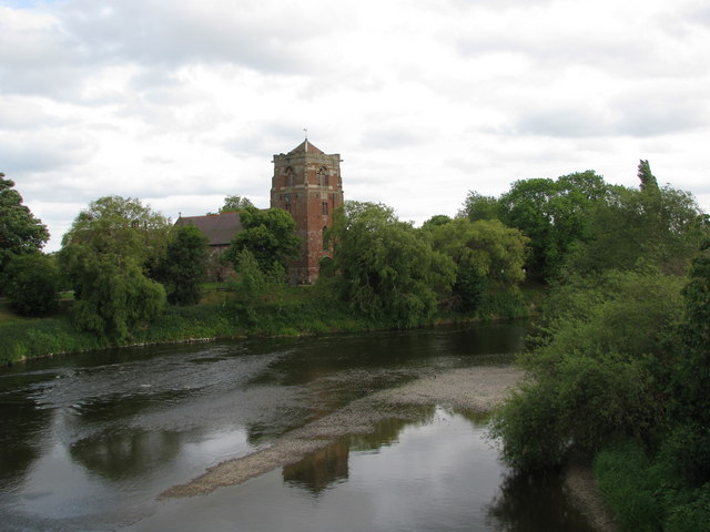
Emstrey Images

Images are sourced within 2km of 52.689903/-2.701695 or Grid Reference SJ5210. Thanks to Geograph Open Source API. All images are credited.

Old Atcham Bridge Disused bridge over the River Severn that used to carry the A5 road.
Old Atcham Bridge
Disused bridge over the River Severn that used to carry the A5 road.
Gateway, Atcham The grand entrance to Attingham Hall is surprisingly late, built only in 1862 to the designs of Charles Fowler (jr). It consists of five arches, the central, larger arch framed by Doric columns. Carved in the spandrels are a winged horse and a stag. A lodge lies behind each of the two outer arches. Grade II* listed.
Gateway, Atcham
The grand entrance to Attingham Hall is surprisingly late, built only in 1862 to the designs of Charles Fowler (jr). It consists of five arches, the central, larger arch framed by Doric columns. Carved in the spandrels are a winged horse and a stag. A lodge lies behind each of the two outer arches. Grade II* listed.
Atcham Bridge, Atcham Built in 1769-71 to the designs of John Gwynn, and, Pevsner notes, one of the most expensive mid-Georgian bridges in the county. It has seven arches, a central aedicule, and keystones with vermiculated rustication (as on the left) in Grinshill stone. Grade II* listed.
In 1929 it was superseded by a modern, concrete bridge over the Severn.
Atcham Bridge, Atcham
Built in 1769-71 to the designs of John Gwynn, and, Pevsner notes, one of the most expensive mid-Georgian bridges in the county. It has seven arches, a central aedicule, and keystones with vermiculated rustication (as on the left) in Grinshill stone. Grade II* listed. In 1929 it was superseded by a modern, concrete bridge over the Severn.
Hotel, Atcham A substantial Georgian building of seven bays and three storeys with a pedimented Doric doorcase. Lying on the London-Holyhead road, it was built c1775 as the Talbot Hotel, and is now the Mytton and Mermaid. Grade II listed.
Hotel, Atcham
A substantial Georgian building of seven bays and three storeys with a pedimented Doric doorcase. Lying on the London-Holyhead road, it was built c1775 as the Talbot Hotel, and is now the Mytton and Mermaid. Grade II listed.
River Severn, Atcham With part of the balustrade of the 1929 bridge in the foreground.
River Severn, Atcham
With part of the balustrade of the 1929 bridge in the foreground.
Lodge and gates near Atcham At the entrance to Longner Hall. Designed by Humphrey Repton, best known for his landscape design, in 1813. Gothic-Tudor, with dripmoulds, battlements and polygonal chimneystacks. The left gate pier has an ogee cap, the other seems to have gone astray. Grade II listed.
Lodge and gates near Atcham
At the entrance to Longner Hall. Designed by Humphrey Repton, best known for his landscape design, in 1813. Gothic-Tudor, with dripmoulds, battlements and polygonal chimneystacks. The left gate pier has an ogee cap, the other seems to have gone astray. Grade II listed.
The old bridge at Atcham
Atcham church from the Old Bridge
The River Severn above Atcham
Yewtree Cottage On the roadside between Betton Strange and Berrington
Yewtree Cottage
On the roadside between Betton Strange and Berrington
Atcham Church View The view from the lane near Atcham Bridge over the river Severn to the Shropshire Church of Saint Eata.
Atcham Church View
The view from the lane near Atcham Bridge over the river Severn to the Shropshire Church of Saint Eata.
Bridge View The view of the Old Bridge over the River Severn at Shropshire Village of Atcham next to the A5 road.
Bridge View
The view of the Old Bridge over the River Severn at Shropshire Village of Atcham next to the A5 road.
Bridge View The view of the A5 road bridge over the River Severn near the Shropshire Village of Atcham.
Bridge View
The view of the A5 road bridge over the River Severn near the Shropshire Village of Atcham.
Long straight on the A458
Layby on the A458
Layby on the A458
Steep climb to Fox Farm
A458 west of Fox Farm
Severn floods at Atcham Lane to Atcham closed because of floods after the snow of January 2013.
Severn floods at Atcham
Lane to Atcham closed because of floods after the snow of January 2013.
Show me another place!

Emstrey is located at Grid Ref: SJ5210 (Lat: 52.689903, Lng: -2.701695)

Unitary Authority: Shropshire

Police Authority: West Mercia

What 3 Words

///flops.fussed.initiates. Near Bayston Hill, Shropshire

Nearby Locations

Emstrey Rough Emstrey

Related Wikis

Emstrey

Emstrey is a dispersed hamlet on the outskirts of Shrewsbury, in the English county of Shropshire. The hamlet is located south-east of the town, on the...
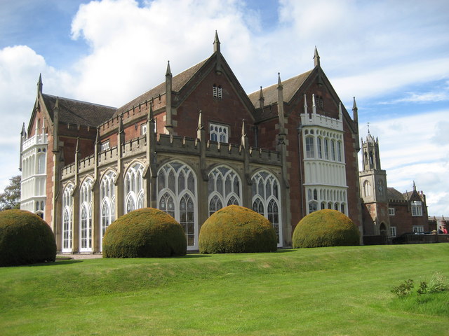
Longner Hall

Longner Hall is a Grade I listed country house in Longner, Shropshire, England, some 2 miles (3 km) south-east of Shrewsbury in the civil parish of Atcham...

Shrewsbury Business Park

The Shrewsbury Business Park is a commercial development on the outskirts of Shrewsbury, Shropshire (at Emstrey). Construction commenced in late 2001 on...

Berwick Tunnel

Berwick Tunnel is a canal tunnel located on the Shrewsbury Canal, Shropshire, England, UK. == History == The Shrewsbury Canal connected Shrewsbury to the...

Nearby Amenities

Located within 500m of 52.689903,-2.701695
Barrier: stile
Lat/Long: 52.690582/-2.7030633
Barrier: stile
Lat/Long: 52.6905352/-2.6999906
Barrier: stile
Lat/Long: 52.6917679/-2.6960808
Barrier: stile
Lat/Long: 52.6921855/-2.7069404
Barrier: stile
Lat/Long: 52.6910918/-2.7053121
Barrier: stile
Lat/Long: 52.6908506/-2.6989287
Post Box
Ref: SY5 233
Lat/Long: 52.6887328/-2.7023572
Crossing
Crossing: uncontrolled
Crossing Ref: zebra
Lat/Long: 52.6894702/-2.7071454
Power: pole
Lat/Long: 52.6868394/-2.6964971
Power: pole
Lat/Long: 52.6870458/-2.6969719
Power: pole
Lat/Long: 52.6875206/-2.6980448
Power: pole
Lat/Long: 52.6879937/-2.6991606
Power: pole
Lat/Long: 52.6884213/-2.7000859
Power: pole
Lat/Long: 52.6888017/-2.7009791
Power: pole
Lat/Long: 52.6891757/-2.7018857
Power: pole
Lat/Long: 52.689509/-2.7026233
Power: pole
Lat/Long: 52.6899414/-2.7036291
Power: pole
Lat/Long: 52.6903657/-2.7046832
Power: pole
Lat/Long: 52.6908364/-2.7057776
Power: pole
Lat/Long: 52.6912266/-2.7067177
Power: pole
Lat/Long: 52.6916192/-2.7076457
Power: pole
Lat/Long: 52.6918053/-2.7081004
Location Transition: yes
Power: pole
Lat/Long: 52.6870312/-2.7061504
Power: pole
Lat/Long: 52.6863451/-2.7052251
Crossing
Crossing: uncontrolled
Crossing Ref: zebra
Lat/Long: 52.6894976/-2.7073517
Leisure: hot_tub
Lat/Long: 52.6873889/-2.7077254
Leisure: hot_tub
Lat/Long: 52.6873599/-2.7077593
Leisure: hot_tub
Lat/Long: 52.6873556/-2.7076845
Bus Stop
Bus: yes
Public Transport: platform
Lat/Long: 52.691318/-2.7086383
The data included in this document is from www.openstreetmap.org. The data is made available under ODbL.

Have you been to Emstrey?

Leave your review of Emstrey below (or comments, questions and feedback).