Emsworth
Settlement in Hampshire Havant
England
Emsworth
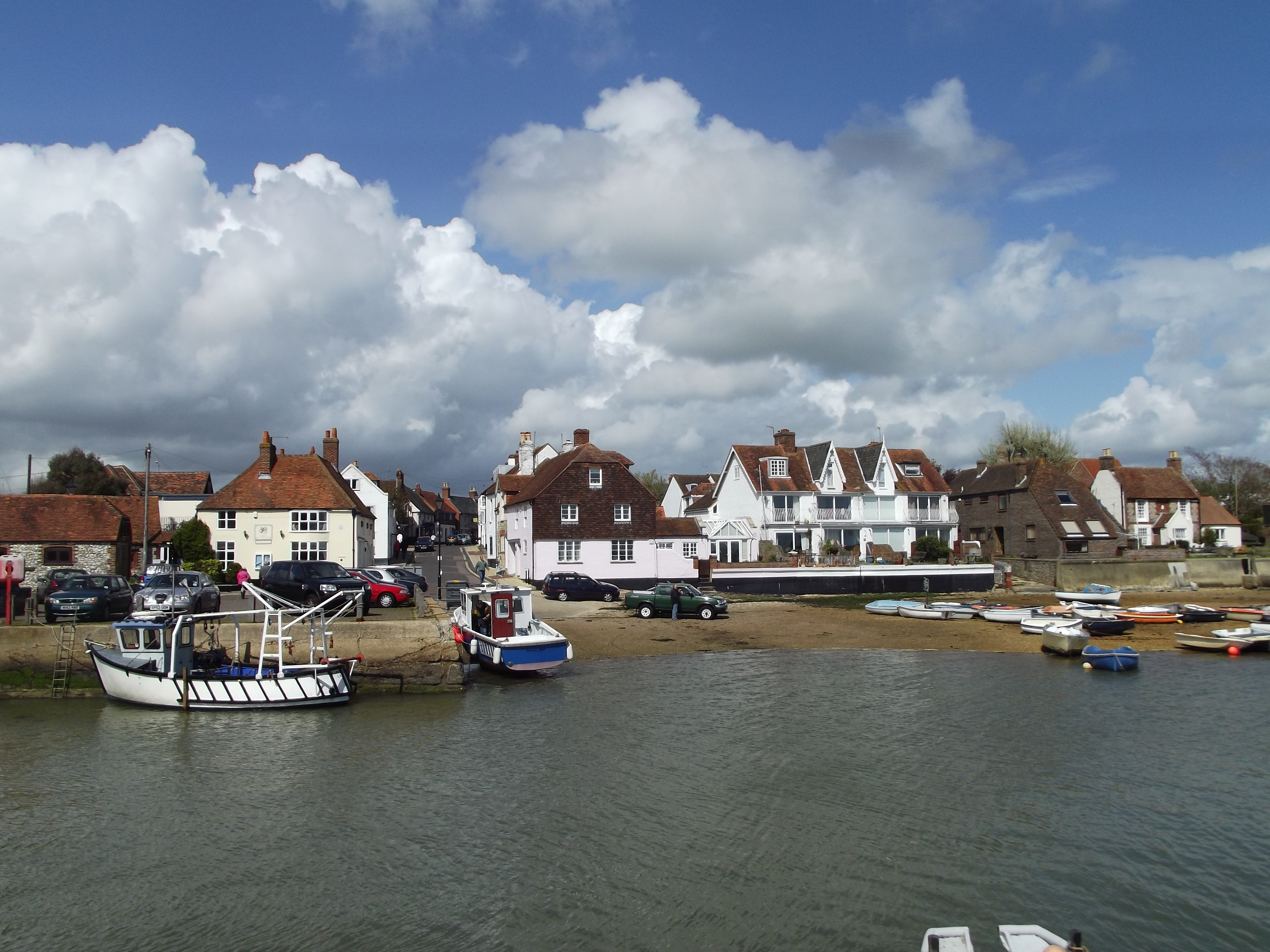
Emsworth is a picturesque town located in the county of Hampshire, England. Situated on the southern coast, it is nestled between Chichester Harbour to the west and Emsworth Channel to the east. With a population of around 10,000 residents, Emsworth exudes a charming and tranquil atmosphere that attracts both locals and visitors alike.
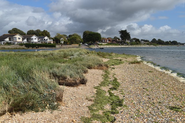
The town's history dates back to Roman times, and its maritime heritage is evident through its close proximity to the water. Emsworth is renowned for its sailing and boating community, with the marina and sailing clubs offering opportunities for water sports enthusiasts. Chichester Harbour, designated as an Area of Outstanding Natural Beauty, provides a stunning backdrop for leisurely walks and birdwatching.
Emsworth's town center is characterized by its quaint streets lined with independent shops, boutiques, and art galleries. The local market, held every Saturday, offers a range of fresh produce, artisanal goods, and crafts. The town also boasts a variety of pubs, cafes, and restaurants, serving both traditional British cuisine and international dishes.
For nature lovers, nearby attractions include Stansted Park and the South Downs National Park, where visitors can enjoy beautiful landscapes and outdoor activities such as hiking and cycling. The historic city of Chichester, with its cathedral and renowned Festival Theatre, is just a short drive away.
Overall, Emsworth is a hidden gem on the Hampshire coast, offering a delightful blend of natural beauty, maritime history, and a vibrant local community.
If you have any feedback on the listing, please let us know in the comments section below.
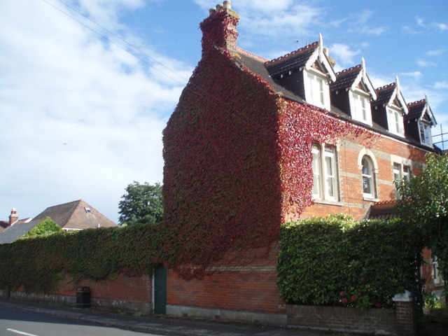
Emsworth Images
Images are sourced within 2km of 50.852276/-0.944451 or Grid Reference SU7406. Thanks to Geograph Open Source API. All images are credited.


Emsworth is located at Grid Ref: SU7406 (Lat: 50.852276, Lng: -0.944451)
Administrative County: Hampshire
District: Havant
Police Authority: Hampshire
What 3 Words
///lows.freed.tanks. Near Emsworth, Hampshire
Nearby Locations
Related Wikis
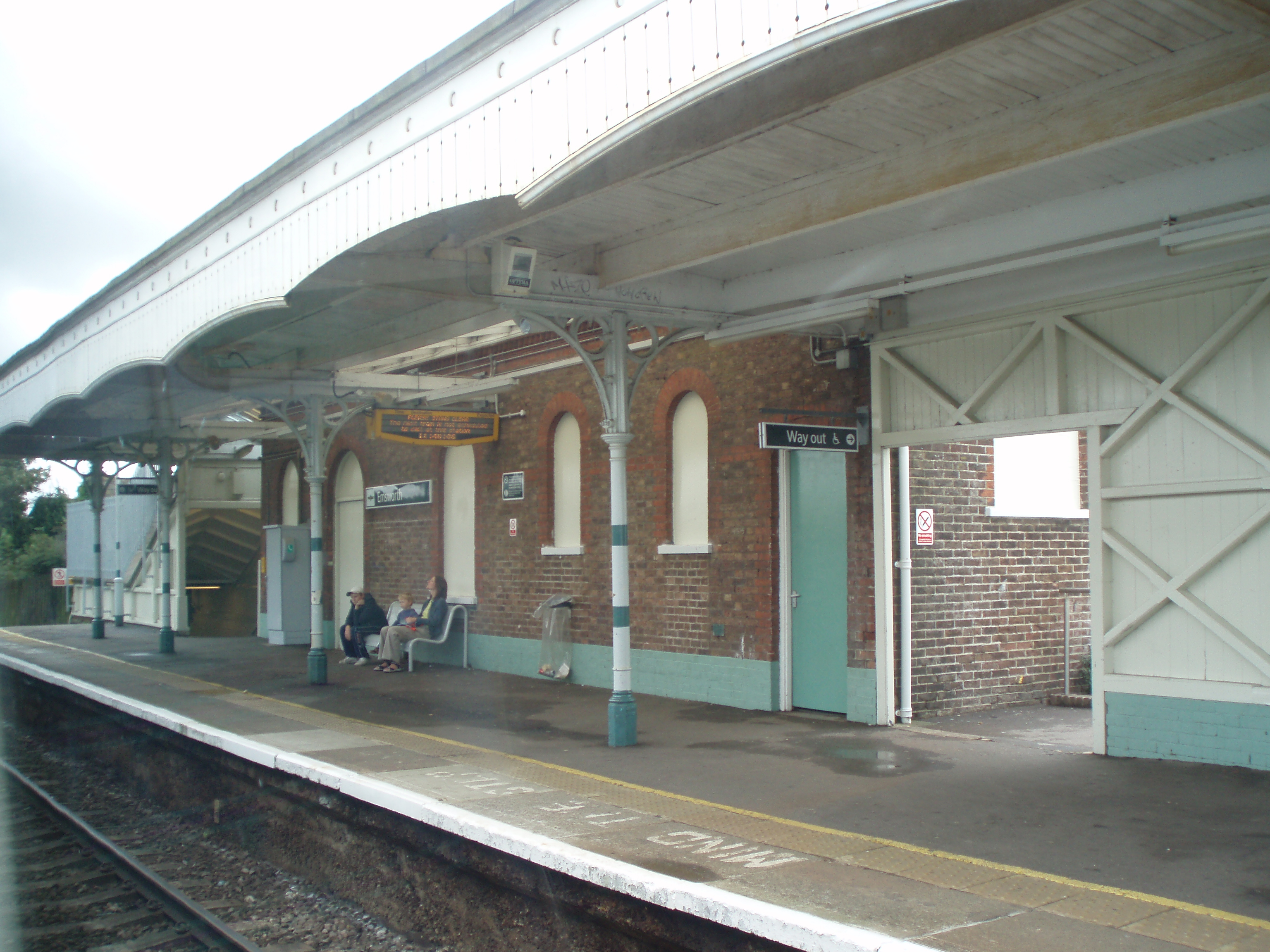
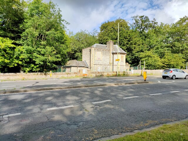
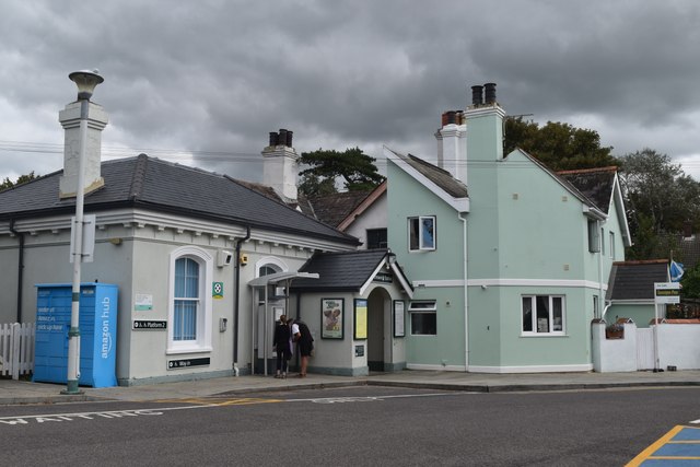
Emsworth railway station
Emsworth railway station serves the small town of Emsworth, on the Hampshire side of the border between Hampshire and West Sussex, in southern England...
Emsworth
Emsworth is a town in the Borough of Havant in the county of Hampshire, on the south coast of England near the border with West Sussex. It lies at the...
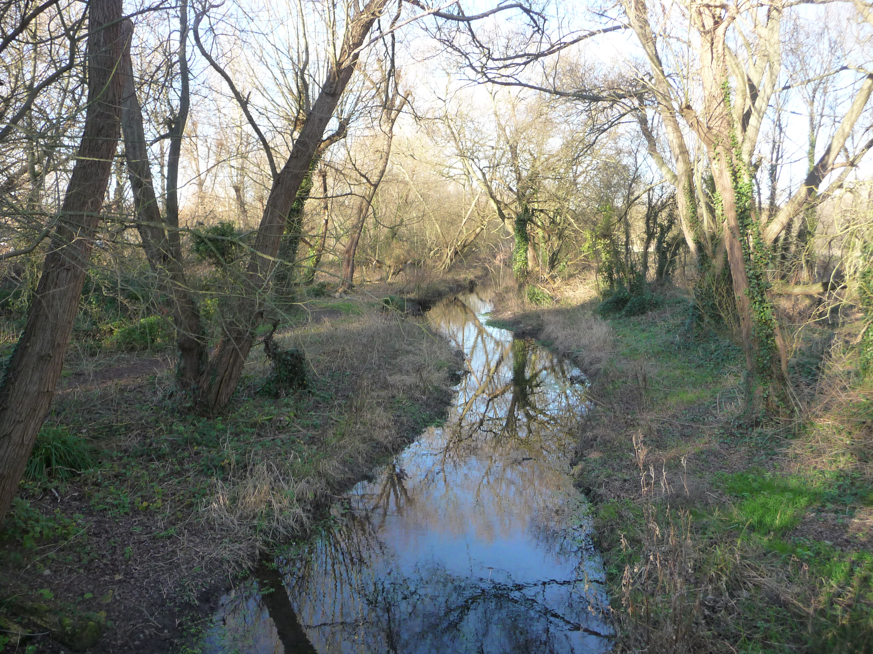
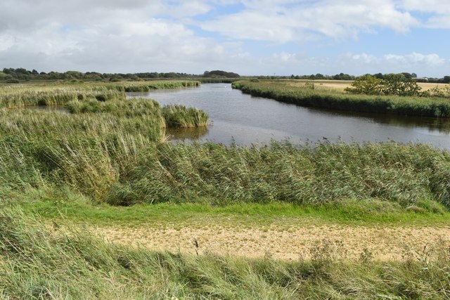
Brook Meadow (Emsworth)
Brook Meadow (Emsworth) is a 3.9-hectare (9.6-acre) Local Nature Reserve in Emsworth in Hampshire. It is owned by Havant Borough Council and managed by...
Denvilles
Denvilles is a locality within Havant to the north of Warblington railway station. In 1877 it consisted of a solitary farm but by 1897 there were several...
Nearby Amenities
Located within 500m of 50.852276,-0.944451Have you been to Emsworth?
Leave your review of Emsworth below (or comments, questions and feedback).