Sishes Wood

Wood, Forest in Hertfordshire Stevenage

England

Sishes Wood

Edge of Stevenage Taken from TL 237 268 looking towards Lister Hospital in the distance
Edge of Stevenage Credit: Paul Dixon

Sishes Wood is a charming forest located in the county of Hertfordshire, England. Spanning over a vast area, it is a popular destination for nature enthusiasts and hikers alike. The wood is situated near the village of Wood, adding to its allure and accessibility.

The forest boasts an impressive variety of trees, including oak, beech, and birch, which create a dense canopy that provides a cool and refreshing atmosphere during the summer months. The woodland floor is adorned with an array of vibrant wildflowers, adding a splash of color to the surroundings.

Traversing through Sishes Wood, visitors will encounter a network of well-maintained footpaths, allowing them to explore the forest at their own pace. The trails wind through the picturesque woodlands, offering breathtaking views and opportunities to spot local wildlife, such as deer, squirrels, and a diverse range of bird species.

For those seeking a more immersive experience, the wood provides designated camping areas where visitors can pitch tents and spend the night surrounded by nature's tranquility. Additionally, there are picnic spots and benches scattered throughout the forest, providing the perfect setting for a leisurely outdoor meal or a moment of relaxation.

Sishes Wood is not only a place of natural beauty but also holds historical significance. It is believed to have ancient origins, with remnants of Iron Age settlements and Roman roads discovered in the vicinity. This adds an element of intrigue to the forest, attracting history enthusiasts and archaeology aficionados.

Overall, Sishes Wood in Hertfordshire offers a delightful escape from the hustle and bustle of daily life, providing a serene and picturesque setting for individuals to reconnect with nature and immerse themselves in the region's rich history.

If you have any feedback on the listing, please let us know in the comments section below.
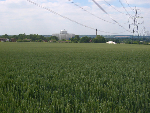
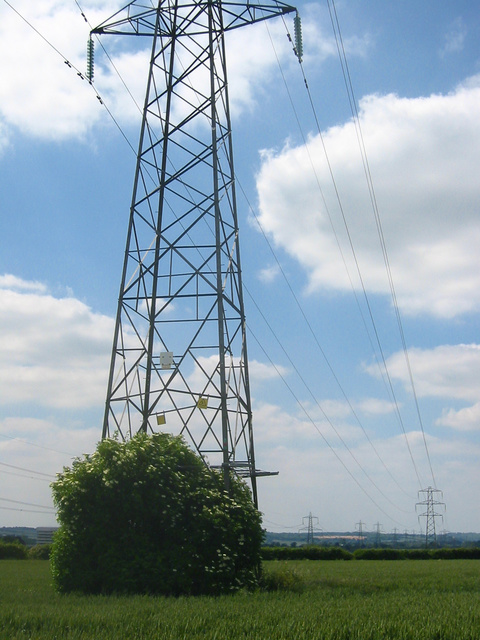
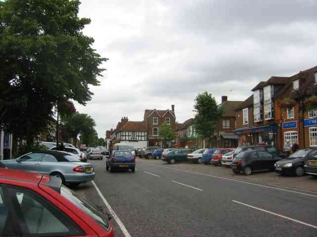
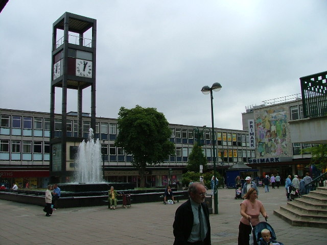
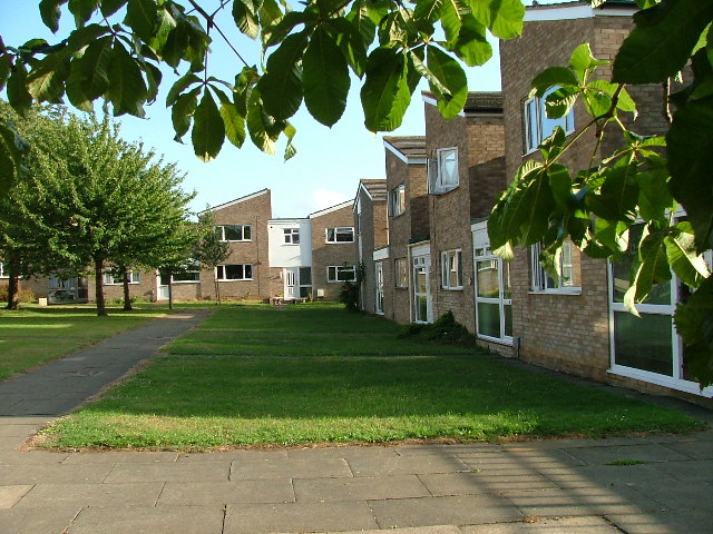
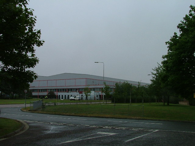
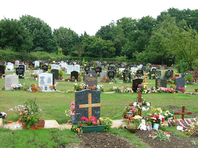
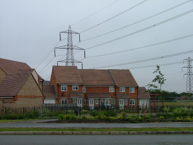
Sishes Wood Images

Images are sourced within 2km of 51.915246/-0.18195247 or Grid Reference TL2525. Thanks to Geograph Open Source API. All images are credited.

Edge of Stevenage Taken from TL 237 268 looking towards Lister Hospital in the distance
Edge of Stevenage
Taken from TL 237 268 looking towards Lister Hospital in the distance
Graveley Pylons Taken from TL 239 270 between Graveley and Stevenage, this line of pylons is running towards Hitchin, although the one in the foreground seems to morphing into a tree!
Graveley Pylons
Taken from TL 239 270 between Graveley and Stevenage, this line of pylons is running towards Hitchin, although the one in the foreground seems to morphing into a tree!
Stevenage  Old Town Old towns suffer from the motor car especially when nose in parking is the rule
Stevenage Old Town
Old towns suffer from the motor car especially when nose in parking is the rule
Stevenage Town Centre The clock tower features a memorial to Lewis Silkin, the Minister for Town and Country Planning.
Stevenage Town Centre
The clock tower features a memorial to Lewis Silkin, the Minister for Town and Country Planning.
Fairlands Valley Park This large lake is used by sailors and fishermen.  This photo is taken facing south.  To the rear there are two smaller lakes.  The park is very popular in the summer.
Fairlands Valley Park
This large lake is used by sailors and fishermen. This photo is taken facing south. To the rear there are two smaller lakes. The park is very popular in the summer.
Silam Rd. To the right are houses not untypical of Stevenage new town.  Looming over Silam Rd is one of a pair of high rise flats close to the town centre.
Silam Rd.
To the right are houses not untypical of Stevenage new town. Looming over Silam Rd is one of a pair of high rise flats close to the town centre.
Mildmay Road. These houses were built in a variety of styles.  These are not untypical but some of the architectural styles bring their own maintenance problems.
Mildmay Road.
These houses were built in a variety of styles. These are not untypical but some of the architectural styles bring their own maintenance problems.
Fortuna Close One of the more modern parts of Stevenage and with some more imaginative building - three storeys!
Fortuna Close
One of the more modern parts of Stevenage and with some more imaginative building - three storeys!
Hampson Park / Pin Green Water Tower. Although this water tower is right on the edge of this square I have used it because it dominates the locality.  The large flat construction on the left, behind the fence, is a covered reservoir.  The tower is now bristling with aerials of all sorts.
Hampson Park / Pin Green Water Tower.
Although this water tower is right on the edge of this square I have used it because it dominates the locality. The large flat construction on the left, behind the fence, is a covered reservoir. The tower is now bristling with aerials of all sorts.
Mastercare warehousing Although this photograph is actually taken (just) from neighbouring TL2526, this warehouse is typical of this industrial estate.  Not all are grey and red.  Some are grey and another colour!
Mastercare warehousing
Although this photograph is actually taken (just) from neighbouring TL2526, this warehouse is typical of this industrial estate. Not all are grey and red. Some are grey and another colour!
Weston Rd Cemetery Although Weston Rd Cemetery takes up a relatively small portion of this square, Stevenage has lots and lots of houses but only two cemeteries.
Weston Rd Cemetery
Although Weston Rd Cemetery takes up a relatively small portion of this square, Stevenage has lots and lots of houses but only two cemeteries.
Great Ashby Estate. This development started about three years ago and is still being built.  The empty space to the right will be built on sooner or later.  The pylons are of course part of the National Grid.  Why on earth are we building houses under these lines?
Great Ashby Estate.
This development started about three years ago and is still being built. The empty space to the right will be built on sooner or later. The pylons are of course part of the National Grid. Why on earth are we building houses under these lines?
Ferrier Rd This could be any road in this area.  Plans seem to have been bought as a job lot.
Ferrier Rd
This could be any road in this area. Plans seem to have been bought as a job lot.
Telford Avenue. On the edge of TL2525..  I wasn't going any further into this estate.  I always get lost even though it's not that big by local standards.  This estate, in common with others in the area suffers from the increase in car ownership.  Parking is awkward, the roads not wide and the layout is twisting.
Telford Avenue.
On the edge of TL2525.. I wasn't going any further into this estate. I always get lost even though it's not that big by local standards. This estate, in common with others in the area suffers from the increase in car ownership. Parking is awkward, the roads not wide and the layout is twisting.
Trig point at Lonsdale School I swear that tree was not there when I took the photo.

This Trig point is in the playing field of a special needs school caring for 75 children between the ages of 2 and 19 from London, Bedfordshire and Hertfordshire.
Trig point at Lonsdale School
I swear that tree was not there when I took the photo. This Trig point is in the playing field of a special needs school caring for 75 children between the ages of 2 and 19 from London, Bedfordshire and Hertfordshire.
Stevenage Swimming Pool The bus to the right is dropping children off for a drowning lesson.
Stevenage Swimming Pool
The bus to the right is dropping children off for a drowning lesson.
Religious Society of Friends meeting house Unprepossessing and in the shadow (almost literally) of the larger, church next door (St Andrew and St George)
Religious Society of Friends meeting house
Unprepossessing and in the shadow (almost literally) of the larger, church next door (St Andrew and St George)
Parish Church of St Andrew and St George - Stevenage. Below the church is Stevenage museum.
Parish Church of St Andrew and St George - Stevenage.
Below the church is Stevenage museum.
Show me another place!

Sishes Wood is located at Grid Ref: TL2525 (Lat: 51.915246, Lng: -0.18195247)

Administrative County: Hertfordshire

District: Stevenage

Police Authority: Hertfordshire

What 3 Words

///booth.woven.fuzzy. Near Stevenage, Hertfordshire

Related Wikis

The Nobel School

The Nobel School is a co-educational secondary school and sixth form located in Stevenage in the English county of Hertfordshire. == History == The Nobel...

St Nicholas' Church, Stevenage

St Nicholas' Church is an Anglican parish church in Stevenage, a town in Hertfordshire, England. It occupies a hilltop site above Old Stevenage. It is...

Rooks Nest House

Rooks Nest House is a house on Weston Road, Stevenage, Hertfordshire. It was the childhood home of the author E. M. Forster (1879–1970) who described it...

Marriotts School

Marriotts School is a secondary school in Stevenage, Hertfordshire, England. The school was rebuilt along with Lonsdale School (for special needs children...

Nearby Amenities

Located within 500m of 51.915246,-0.18195247
Mini Roundabout
Direction: clockwise
Lat/Long: 51.9178912/-0.1768834
Crossing
Crossing: unmarked
Crossing Island: no
Tactile Paving: no
Lat/Long: 51.9126064/-0.1785808
Mini Roundabout
Direction: clockwise
Lat/Long: 51.9127416/-0.1793985
Mini Roundabout
Direction: clockwise
Lat/Long: 51.9121289/-0.1795983
Crossing
Crossing: unmarked
Crossing Island: no
Kerb: lowered
Tactile Paving: no
Lat/Long: 51.9126033/-0.1782453
Theatre
The Lytton Theatre
Lat/Long: 51.9164889/-0.181721
Bus Stop
Webb Rise
Bench: yes
Bin: yes
Lit: yes
Naptan AtcoCode: 210021202080
Naptan Bearing: N
Naptan CommonName: Webb Rise
Naptan Crossing: Hampson Park
Naptan Indicator: N-bound
Naptan Landmark: Hampson Park
Naptan NaptanCode: hrtdwtjg
Naptan PlusbusZoneRef: STEVNGE
Naptan ShortCommonName: NA
Naptan Street: Meredith Road
Shelter: yes
Source: naptan_import
Tactile Paving: no
Lat/Long: 51.9128186/-0.183718
Bus Stop
Vardon Road
Bench: no
Bin: no
Lit: yes
Naptan AtcoCode: 210021202195
Naptan Bearing: S
Naptan CommonName: Vardon Road
Naptan Crossing: Vardon Road
Naptan Indicator: S-bound
Naptan Landmark: Vardon Road
Naptan NaptanCode: hrtdwtga
Naptan PlusbusZoneRef: STEVNGE
Naptan ShortCommonName: NA
Naptan Street: Wisden Road
Naptan Verified: no
Shelter: no
Source: naptan_import
Tactile Paving: no
Lat/Long: 51.9162712/-0.1889443
Bus Stop
Wisden Road
Bench: no
Bin: no
Lit: yes
Local Ref: NR
Naptan AtcoCode: 210021202200
Naptan Bearing: NE
Naptan CommonName: Wisden Road
Naptan Crossing: Wisden Road
Naptan Indicator: nr
Naptan Landmark: Wisden Road
Naptan NaptanCode: hrtdwtgd
Naptan PlusbusZoneRef: STEVNGE
Naptan ShortCommonName: NA
Naptan Street: Vardon Road
Naptan Verified: no
Shelter: no
Source: naptan_import
Tactile Paving: no
Lat/Long: 51.9164522/-0.184731
Bus Stop
Jessop Road
Bench: no
Bin: no
Check Date Shelter: 2021-01-23
Lit: yes
Naptan AtcoCode: 210021202220
Naptan Bearing: NE
Naptan CommonName: Jessop Road
Naptan Crossing: Jessop Road
Naptan Indicator: adj
Naptan Landmark: Jessop Road
Naptan NaptanCode: hrtdwpwt
Naptan PlusbusZoneRef: STEVNGE
Naptan ShortCommonName: NA
Naptan Street: Vardon Road
Shelter: no
Source: naptan_import
Tactile Paving: no
Lat/Long: 51.9168532/-0.1822093
Bus Stop
The Oval Centre
Bench: yes
Bin: yes
Check Date Shelter: 2021-01-23
Lit: yes
Naptan AtcoCode: 210021202240
Naptan Bearing: NE
Naptan CommonName: The Oval Centre
Naptan Crossing: Verity Way
Naptan Indicator: adj
Naptan Landmark: Verity Way
Naptan NaptanCode: hrtdwtag
Naptan PlusbusZoneRef: STEVNGE
Naptan ShortCommonName: NA
Naptan Street: Vardon Road
Shelter: yes
Source: naptan_import
Tactile Paving: yes
Lat/Long: 51.9184305/-0.1780901
Bus Stop
Chells Way
Bench: no
Bin: yes
Lit: yes
Naptan AtcoCode: 210021202360
Naptan Bearing: S
Naptan CommonName: Chells Way
Naptan Crossing: Moss Bury Education Centre
Naptan Indicator: S-bound
Naptan Landmark: Moss Bury Education Centre
Naptan NaptanCode: hrtdwpma
Naptan PlusbusZoneRef: STEVNGE
Naptan ShortCommonName: NA
Naptan Street: Fairlands Way
Shelter: no
Source: naptan_import
Tactile Paving: no
Lat/Long: 51.9133709/-0.1789765
Bus Stop
Chells Way
Bench: yes
Bin: no
Check Date Shelter: 2021-01-02
Lit: yes
Naptan AtcoCode: 210021202440
Naptan Bearing: N
Naptan CommonName: Chells Way
Naptan Crossing: Moss Bury JMI School
Naptan Indicator: opp
Naptan Landmark: Moss Bury JMI School
Naptan NaptanCode: hrtdwpmt
Naptan PlusbusZoneRef: STEVNGE
Naptan ShortCommonName: NA
Naptan Street: Fairlands Way
Shelter: yes
Source: naptan_import
Tactile Paving: no
Lat/Long: 51.9132544/-0.1792941
Bus Stop
The Oval Centre
Bench: yes
Bin: yes
Lit: yes
Naptan AtcoCode: 210021202500
Naptan Bearing: SW
Naptan CommonName: The Oval Centre
Naptan Crossing: Verity Way
Naptan Indicator: opp
Naptan Landmark: Verity Way
Naptan NaptanCode: hrtdwpgj
Naptan PlusbusZoneRef: STEVNGE
Naptan ShortCommonName: NA
Naptan Street: Vardon Road
Shelter: yes
Source: naptan_import
Tactile Paving: yes
Lat/Long: 51.9180992/-0.1782113
Bus Stop
Jessop Road
Bench: yes
Bin: yes
Check Date Shelter: 2021-01-23
Lit: yes
Naptan AtcoCode: 210021202520
Naptan Bearing: SW
Naptan CommonName: Jessop Road
Naptan Crossing: Meredith Road
Naptan Indicator: opp
Naptan Landmark: Meredith Road
Naptan NaptanCode: hrtdwpgt
Naptan PlusbusZoneRef: STEVNGE
Naptan ShortCommonName: NA
Naptan Street: Vardon Road
Shelter: yes
Source: naptan_import
Tactile Paving: yes
Lat/Long: 51.9166646/-0.1826224
Bus Stop
Wisden Road
Bench: yes
Bin: yes
Lit: yes
Naptan AtcoCode: 210021202540
Naptan Bearing: SW
Naptan CommonName: Wisden Road
Naptan Crossing: Water Tower
Naptan Indicator: opp
Naptan Landmark: Water Tower
Naptan NaptanCode: hrtdwpjd
Naptan PlusbusZoneRef: STEVNGE
Naptan ShortCommonName: NA
Naptan Street: Vardon Road
Naptan Verified: no
Shelter: yes
Source: naptan_import
Tactile Paving: yes
Lat/Long: 51.9162973/-0.185185
Bus Stop
Webb Rise
Bench: yes
Bin: yes
Lit: yes
Naptan AtcoCode: 210021202640
Naptan Bearing: S
Naptan CommonName: Webb Rise
Naptan Crossing: Webb Rise
Naptan Indicator: S-bound
Naptan Landmark: Webb Rise
Naptan NaptanCode: hrtdwpdg
Naptan PlusbusZoneRef: STEVNGE
Naptan ShortCommonName: NA
Naptan Street: Meredith Road
Shelter: yes
Source: naptan_import
Tactile Paving: no
Lat/Long: 51.912565/-0.1835974
Noexit: yes
Lat/Long: 51.9153499/-0.1784551
Noexit: yes
Lat/Long: 51.9151699/-0.1788928
Noexit: yes
Lat/Long: 51.9190262/-0.185201
Noexit: yes
Lat/Long: 51.9191324/-0.1851832
045
Ele: 141.678955
Wpt Description: RDL HOBBS CT
Wpt Symbol: Trail Head
Lat/Long: 51.9172867/-0.180718
044
Ele: 138.314331
Wpt Description: X TR
Wpt Symbol: Trail Head
Lat/Long: 51.9170296/-0.1816401
Crossing
Crossing: unmarked
Crossing Island: no
Kerb: lowered
Tactile Paving: yes
Lat/Long: 51.9176705/-0.1796827
Crossing
Crossing: unmarked
Crossing Island: no
Kerb: lowered
Tactile Paving: yes
Lat/Long: 51.9167535/-0.1830193
038
Ele: 140.237061
Wpt Description: JR
Wpt Symbol: Trail Head
Lat/Long: 51.917225/-0.1844501
Noexit: yes
Lat/Long: 51.9172731/-0.1833985
Noexit: yes
Lat/Long: 51.9190688/-0.1857308
Noexit: yes
Lat/Long: 51.9185726/-0.1857315
Noexit: yes
Lat/Long: 51.9109593/-0.1821155
Noexit: yes
Lat/Long: 51.9115049/-0.1820972
Oval DIY
FIXME: From memory, needs updating
Shop: doityourself
Lat/Long: 51.9183994/-0.1799424
Ladbrokes
Brand: Ladbrokes
Brand Wikidata: Q1799875
Brand Wikipedia: en:Ladbrokes Coral
Operator: Ladbrokes
Shop: bookmaker
Lat/Long: 51.9185718/-0.1797187
Gofit
FIXME: From memory, needs updating
Shop: nutrition_supplements
Lat/Long: 51.9185763/-0.1798149
Cafe
Daisy's Kitchen
Lat/Long: 51.918581/-0.179931
Oval Wine
Shop: alcohol
Lat/Long: 51.9185739/-0.1795713
Garden House Hospice
Shop: charity
Lat/Long: 51.9185729/-0.1794889
Hair Craft
Shop: hairdresser
Lat/Long: 51.918393/-0.1798214
Pharmacy
Oval Pharmacy
Addr City: Stevenage
Addr Housenumber: 8
Addr Postcode: SG1 5RB
Addr Street: The Oval
Dispensing: yes
Fhrs Id: 349568
Source Addr: FHRS Open Data
Lat/Long: 51.9184021/-0.1796838
Co-op Food
Addr City: Stevenage
Addr Housenumber: 14-18
Addr Postcode: SG1 5RB
Addr Street: The Oval
Brand: Co-op Food
Brand Wikidata: Q3277439
Fhrs Id: 349245
Operator: The Co-operative Group
Operator Wikidata: Q117202
Shop: supermarket
Website: https://www.coop.co.uk/store-finder/SG1-5RB/14-18-the-oval
Lat/Long: 51.9184017/-0.1793782
K. Jones & Son
Shop: butcher
Lat/Long: 51.9185762/-0.1793558
Martin's
Brand: Martin's
Brand Wikidata: Q116779207
Shop: newsagent
Lat/Long: 51.9185835/-0.1792244
Pin Green
Place: suburb
Lat/Long: 51.9155882/-0.1859285
Post Box
Collection Times: Mo-Fr 17:30; Sa 12:30
Ref: SG1 375
Royal Cypher: EIIR
Royal Cypher Wikidata: Q33102113
Lat/Long: 51.9185139/-0.1792753
Place Of Worship
Stevenage Muslim Community Centre and Mosque
Religion: muslim
Source: observation
Lat/Long: 51.9159649/-0.1817705
Fast Food
Jenn Che
Cuisine: chinese
Lat/Long: 51.9187582/-0.1790602
Shop: florist
Lat/Long: 51.9186752/-0.1790576
Rainbow Stores
Shop: convenience
Lat/Long: 51.91841/-0.1790858
The Times Club
Note: hall/bar/club of some sort
Lat/Long: 51.9184878/-0.1786299
Fast Food
Oval Fish and Chips
Cuisine: fish_and_chips
Lat/Long: 51.9185754/-0.1796411
Atm
Check Date: 2022-01-09
Operator: Cashzone
Lat/Long: 51.9185797/-0.179104
Access: yes
Leisure: playground
Lat/Long: 51.9191777/-0.1787739
Crossing
Crossing: unmarked
Crossing Island: no
Kerb: lowered
Tactile Paving: no
Lat/Long: 51.9153929/-0.1833665
Crossing
Crossing: unmarked
Crossing Island: no
Kerb: lowered
Tactile Paving: yes
Lat/Long: 51.9163183/-0.1860257
Source: GPS Survey;Bing
Lat/Long: 51.917205/-0.1823892
Noexit: yes
Lat/Long: 51.9179418/-0.1803819
Noexit: yes
Lat/Long: 51.9185426/-0.1804661
Fixme: incomplete
Lat/Long: 51.9177768/-0.1776767
Crossing
Crossing: unmarked
Crossing Island: no
Kerb: lowered
Tactile Paving: yes
Lat/Long: 51.9179721/-0.1784006
Noexit: yes
Lat/Long: 51.9175336/-0.178468
Noexit: yes
Lat/Long: 51.916756/-0.1772878
Noexit: yes
Lat/Long: 51.9162349/-0.1777036
Noexit: yes
Lat/Long: 51.9149841/-0.1799298
Post Box
Collection Times: Mo-Fr 09:00; Sa 07:00
Post Box Type: pillar
Ref: SG2 349
Royal Cypher: EIIR
Royal Cypher Wikidata: Q33102113
Lat/Long: 51.912575/-0.17661
Post Box
Collection Times: Mo-Fr 09:00; Sa 07:00
Post Box Type: pillar
Ref: SG1 361
Royal Cypher: EIIR
Royal Cypher Wikidata: Q33102113
Lat/Long: 51.915585/-0.179778
Post Box
Collection Times: Mo-Fr 17:30; Sa 12:15
Post Box Type: pillar
Ref: SG1 355
Lat/Long: 51.912216/-0.18316
Post Box
Collection Times: Mo-Fr 17:30; Sa 12:15
Post Box Type: pillar
Ref: SG1 366
Royal Cypher: EIIR
Royal Cypher Wikidata: Q33102113
Lat/Long: 51.9167524/-0.1846431
Crossing
Crossing: unmarked
Crossing Island: no
Tactile Paving: no
Lat/Long: 51.9119345/-0.1771848
Crossing
Crossing: unmarked
Crossing Island: no
Tactile Paving: no
Lat/Long: 51.912155/-0.1801228
Traffic Calming: island
Lat/Long: 51.9177785/-0.176844
Traffic Calming: island
Lat/Long: 51.9179776/-0.1769078
Kerb: raised
Lat/Long: 51.9116008/-0.1841773
Noexit: yes
Lat/Long: 51.9191645/-0.1834708
Noexit: yes
Lat/Long: 51.9172254/-0.1821639
Noexit: yes
Lat/Long: 51.9172367/-0.1829261
Noexit: yes
Lat/Long: 51.917758/-0.1828467
Noexit: yes
Lat/Long: 51.9177674/-0.1833629
Noexit: yes
Lat/Long: 51.9179485/-0.1810146
Noexit: yes
Lat/Long: 51.9182379/-0.1828718
Noexit: yes
Lat/Long: 51.9182502/-0.1832685
Noexit: yes
Lat/Long: 51.9183036/-0.1828701
Noexit: yes
Lat/Long: 51.9188241/-0.183317
Noexit: yes
Lat/Long: 51.918832/-0.1827981
Noexit: yes
Lat/Long: 51.91905/-0.1804921
Noexit: yes
Lat/Long: 51.9193313/-0.182774
Noexit: yes
Lat/Long: 51.9195531/-0.1804679
Crossing
Crossing: unmarked
Crossing Island: no
Kerb: lowered
Lat/Long: 51.9161172/-0.1871153
Noexit: yes
Lat/Long: 51.9165882/-0.1855451
Noexit: yes
Lat/Long: 51.9167937/-0.1886939
Noexit: yes
Lat/Long: 51.9170079/-0.1863145
Noexit: yes
Lat/Long: 51.9170107/-0.1857686
Noexit: yes
Lat/Long: 51.9175123/-0.1857829
Noexit: yes
Lat/Long: 51.9175188/-0.1863074
Community Centre
Community Centre
Addr City: Stevenage
Addr Housename: Community Centre
Addr Postcode: SG1 5QU
Addr Street: Webb Rise
Phone: +44 1438 354662
Lat/Long: 51.9134532/-0.1863403
Crossing
Crossing: unmarked
Crossing Island: no
Kerb: lowered
Tactile Paving: yes
Lat/Long: 51.9169122/-0.1810778
Man Made: mast
Lat/Long: 51.915691/-0.175371
Crossing
Crossing: unmarked
Crossing Island: no
Kerb: lowered
Tactile Paving: no
Lat/Long: 51.9167468/-0.1816863
Crossing
Crossing: unmarked
Crossing Island: no
Kerb: lowered
Tactile Paving: yes
Lat/Long: 51.9157488/-0.1888042
Access: no
Barrier: kissing_gate
Foot: yes
Lat/Long: 51.9124076/-0.183951
Waste Basket
Lat/Long: 51.9152336/-0.1758483
Waste Basket
Lat/Long: 51.9133768/-0.1789375
Waste Basket
Lat/Long: 51.9170601/-0.1762207
Waste Basket
Lat/Long: 51.9182512/-0.1776119
Waste Basket
Lat/Long: 51.9180833/-0.1782529
Waste Basket
Lat/Long: 51.9166539/-0.1826544
Waste Basket
Lat/Long: 51.9166572/-0.1838064
Waste Basket
Lat/Long: 51.9162924/-0.1852494
Waste Basket
Lat/Long: 51.9163553/-0.1859213
Bench
Backrest: yes
Lat/Long: 51.9158523/-0.1886237
Crossing
Crossing: unmarked
Crossing Island: no
Tactile Paving: yes
Lat/Long: 51.9124143/-0.1863639
Waste Basket
Lat/Long: 51.9122761/-0.1863706
Traffic Calming: island
Lat/Long: 51.9183229/-0.177196
Traffic Calming: island
Lat/Long: 51.9184189/-0.1770663
Bench
Backrest: yes
Colour: green
Material: metal
Lat/Long: 51.9110046/-0.1843295
Traffic Calming: island
Lat/Long: 51.9121375/-0.1797711
Traffic Calming: island
Lat/Long: 51.9120415/-0.1796175
Traffic Calming: island
Lat/Long: 51.9127171/-0.1792393
Traffic Calming: island
Lat/Long: 51.9128071/-0.1793755
Waste Basket
Lat/Long: 51.9151442/-0.1833344
Waste Basket
Lat/Long: 51.9128362/-0.1837152
Waste Basket
Lat/Long: 51.9125454/-0.1835764
Waste Basket
Lat/Long: 51.9139133/-0.1790723
Information: board
Tourism: information
Lat/Long: 51.9155144/-0.1868006
Bench
Lat/Long: 51.9142312/-0.1852247
Bench
Lat/Long: 51.9137445/-0.1876264
Noexit: yes
Lat/Long: 51.9163214/-0.1882455
Noexit: yes
Lat/Long: 51.9163305/-0.1888436
Noexit: yes
Lat/Long: 51.9184075/-0.1804604
Noexit: yes
Lat/Long: 51.9168119/-0.1756391
Noexit: yes
Lat/Long: 51.9165075/-0.1753977
Noexit: yes
Lat/Long: 51.9158366/-0.1786888
Noexit: yes
Lat/Long: 51.9162271/-0.1790629
Post Office
The Oval Post Office
Addr Postcode: SG1 5RA
Brand: Post Office
Brand Wikidata: Q1783168
Operator: Martin's
Ref Pol Id: 1738
Website: https://www.postoffice.co.uk/branch-finder/1141295/the-oval
Lat/Long: 51.9186176/-0.1792346
The data included in this document is from www.openstreetmap.org. The data is made available under ODbL.

Have you been to Sishes Wood?

Leave your review of Sishes Wood below (or comments, questions and feedback).