Creasy's Forest

Wood, Forest in Sussex Horsham

England

Creasy's Forest

Bewbush Barn Church An old barn conversion. The barn predates the surrounding housing by several decade. Money was raised by the local church community over several years with the church opening in the late 1990s, and making one of the more interesting parish churches around
Bewbush Barn Church Credit: Michael of Crawley

Creasy's Forest is a charming woodland located in the county of Sussex, England. Spanning over a vast area, this picturesque forest is a haven for nature enthusiasts and outdoor adventurers alike. The forest is named after the Creasy family, who were known to have owned the land in the past.

Nestled within the South Downs National Park, Creasy's Forest boasts an abundance of diverse flora and fauna, making it a true paradise for wildlife lovers. The woodland is predominantly composed of native tree species such as oak, beech, and birch, which create a lush and vibrant canopy above. The forest floor is adorned with a rich carpet of mosses, ferns, and wildflowers, adding to its natural beauty.

The forest is crisscrossed with a network of footpaths and hiking trails, allowing visitors to explore its hidden gems. These trails cater to different levels of difficulty, ensuring that there is something for everyone. Along these paths, one can discover hidden streams, peaceful meadows, and enchanting clearings that offer a tranquil escape from the hustle and bustle of everyday life.

Creasy's Forest is also home to a wide variety of wildlife. Birdwatchers can spot numerous species of birds, including woodpeckers, owls, and songbirds. The forest is also inhabited by mammals like deer, foxes, and squirrels, which can often be spotted going about their daily activities.

With its breathtaking natural beauty and serene atmosphere, Creasy's Forest is a cherished destination for nature lovers who seek solace in the great outdoors. Whether it's for a leisurely stroll, a picnic, or a more adventurous hike, this woodland offers a memorable experience for all who visit.

If you have any feedback on the listing, please let us know in the comments section below.

Creasy's Forest Images

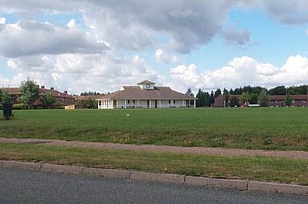
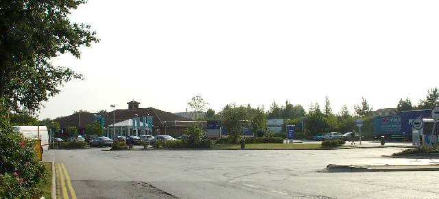
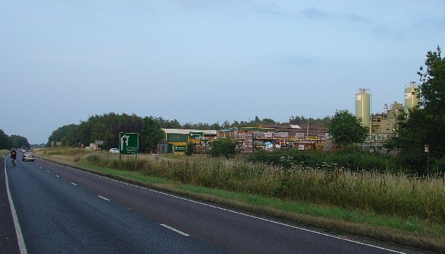
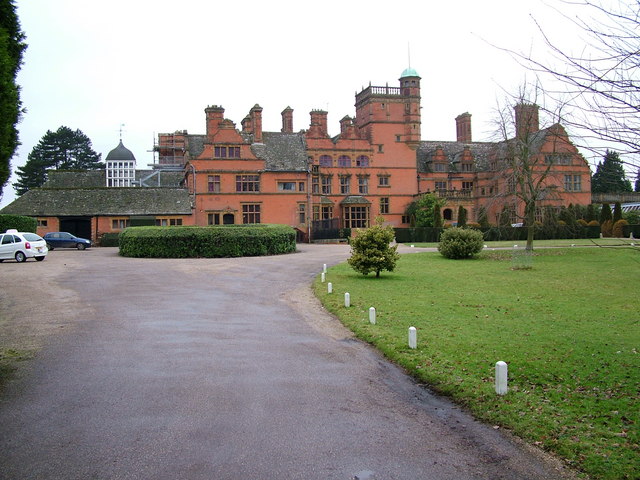
Images are sourced within 2km of 51.093482/-0.220766 or Grid Reference TQ2434. Thanks to Geograph Open Source API. All images are credited.

Bewbush Barn Church An old barn conversion. The barn predates the surrounding housing by several decade. Money was raised by the local church community over several years with the church opening in the late 1990s, and making one of the more interesting parish churches around
Bewbush Barn Church
An old barn conversion. The barn predates the surrounding housing by several decade. Money was raised by the local church community over several years with the church opening in the late 1990s, and making one of the more interesting parish churches around
Bewbush Leisure Centre Crawley's second leisure Centre, opened in 1984, demolished in 2009.
Bewbush Leisure Centre
Crawley's second leisure Centre, opened in 1984, demolished in 2009.
Bewbush Playing Fields Cricket Pavilion on the playing fields on the former plot of Gasson Wood.
Bewbush Playing Fields
Cricket Pavilion on the playing fields on the former plot of Gasson Wood.
Bewbush Water Gardens Council-owned water gardens, based around the western end of the Ifield Mill Pond
Bewbush Water Gardens
Council-owned water gardens, based around the western end of the Ifield Mill Pond
Broadfield Stadium Built by Crawley Council in the early 1990s to re-home Crawley Town Football Club. One of the best non-league stadia in the UK
Broadfield Stadium
Built by Crawley Council in the early 1990s to re-home Crawley Town Football Club. One of the best non-league stadia in the UK
Holy Trinity School Opened in the late 1960s, the main Church of England Secondary School in North Sussex
Holy Trinity School
Opened in the late 1960s, the main Church of England Secondary School in North Sussex
Broadfield Barton Local shopping parade for the neighbourhood of Broadfield in South-west Crawley
Broadfield Barton
Local shopping parade for the neighbourhood of Broadfield in South-west Crawley
Pease Pottage Services At the (current) end of the M23, Junction 11. Operated by Moto.
Pease Pottage Services
At the (current) end of the M23, Junction 11. Operated by Moto.
Pease Pottage Radar Station Taking advantage of this relatively high site (140m above sea level), 80m above Gatwick airport, this is an air traffic control radar. Painted white to blend into the sky.
Pease Pottage Radar Station
Taking advantage of this relatively high site (140m above sea level), 80m above Gatwick airport, this is an air traffic control radar. Painted white to blend into the sky.
Telecoms mast, South Lodge, Pease Pottage, West Sussex One of several facilities in the area taking advantage of the relatively high altitude (water tower, radar station, reservoir). Much of the mast is masked by trees (similar to the radar station location) from most angles.
Telecoms mast, South Lodge, Pease Pottage, West Sussex
One of several facilities in the area taking advantage of the relatively high altitude (water tower, radar station, reservoir). Much of the mast is masked by trees (similar to the radar station location) from most angles.
Holmbush Potteries Industrial Estate, Crawley. Conveniently situated off the main A264 road between Crawley and Horsham. Features a large builders merchants premises and several smaller trading and industrial units.
Holmbush Potteries Industrial Estate, Crawley.
Conveniently situated off the main A264 road between Crawley and Horsham. Features a large builders merchants premises and several smaller trading and industrial units.
Arable Fields between Pease Pottage and Colgate, West Sussex A typical corn field to the south of the minor road between Pease Pottage and Colgate. Viewed looking SE.
Arable Fields between Pease Pottage and Colgate, West Sussex
A typical corn field to the south of the minor road between Pease Pottage and Colgate. Viewed looking SE.
Bridleway through Holmbush Forest, near Colgate, West Sussex This bridleway runs through Holmbush forest from Colgate to the main road between Crawley and Horsham (A264).
Bridleway through Holmbush Forest, near Colgate, West Sussex
This bridleway runs through Holmbush forest from Colgate to the main road between Crawley and Horsham (A264).
Golf Course at Cottesmore Golf and Country Club This golf course spreads over much of this grid square and into TQ2533. This view is from a public footpath, looking east. The large radar scanner of the Pease Pottage Radar station can be seen above the trees in the distance.
Golf Course at Cottesmore Golf and Country Club
This golf course spreads over much of this grid square and into TQ2533. This view is from a public footpath, looking east. The large radar scanner of the Pease Pottage Radar station can be seen above the trees in the distance.
Cottesmore School, Buchan Hill, near Pease Pottage, West Sussex A full boarding co-educational prep school (the only one in the UK - according to their website <span class="nowrap"><a title="http://www.cottesmoreschool.com" rel="nofollow ugc noopener" href="http://www.cottesmoreschool.com">Link</a><img style="margin-left:2px;" alt="External link" title="External link - shift click to open in new window" src="https://s1.geograph.org.uk/img/external.png" width="10" height="10"/></span> ). A couple of sand traps of the Cottesmore Country Club golf course can also be seen.
Cottesmore School, Buchan Hill, near Pease Pottage, West Sussex
A full boarding co-educational prep school (the only one in the UK - according to their website LinkExternal link ). A couple of sand traps of the Cottesmore Country Club golf course can also be seen.
Bridleway through Cottesmore Country Club and School. The sign indicates a bend in the route of the bridleway that cuts through the country club and school grounds between Pease Pottage and the Broadfield neighbourhood of Crawley. At this point the public right of way is following the drive to the school. Behind the sign can be seen the flag of one of the golf greens.
Bridleway through Cottesmore Country Club and School.
The sign indicates a bend in the route of the bridleway that cuts through the country club and school grounds between Pease Pottage and the Broadfield neighbourhood of Crawley. At this point the public right of way is following the drive to the school. Behind the sign can be seen the flag of one of the golf greens.
Cottesmore Golf and Country Club - Golfer Taking a Swing The view is of a golfer on the fairway taking a swing at his ball.
Cottesmore Golf and Country Club - Golfer Taking a Swing
The view is of a golfer on the fairway taking a swing at his ball.
Bridleway crossing the Crawley - Horsham Railway line, Ifield West, Crawley, West Sussex A small level crossing to cater for bridleway traffic (pedestrians, horses, bicycles, but no motor vehicles). Access to the line via gates. Users are left to check that the line is clear for themselves. This bridleway from Ifield West ultimately ends up at Colgate (3km south) and is on the same route as the one shown for grid square TQ2333
Bridleway crossing the Crawley - Horsham Railway line, Ifield West, Crawley, West Sussex
A small level crossing to cater for bridleway traffic (pedestrians, horses, bicycles, but no motor vehicles). Access to the line via gates. Users are left to check that the line is clear for themselves. This bridleway from Ifield West ultimately ends up at Colgate (3km south) and is on the same route as the one shown for grid square TQ2333
Show me another place!

Creasy's Forest is located at Grid Ref: TQ2434 (Lat: 51.093482, Lng: -0.220766)

Administrative County: West Sussex

District: Horsham

Police Authority: Sussex

What 3 Words

///middle.bids.inner. Near Broadfield, West Sussex

Related Wikis

Buchan Hill Ponds

Buchan Hill Ponds is a 19.5-hectare (48-acre) biological Site of Special Scientific Interest on the south-west outskirts of Crawley in West Sussex. This...

Target Hill Park

Target Hill Park is a 9-hectare (22-acre) Local Nature Reserve in Crawley in West Sussex. It is owned by Crawley Borough Council and managed by the council...

Cottesmore School

Cottesmore is a boarding preparatory school in the United Kingdom, founded in 1894. == History == Cottesmore was founded by Geoffrey Davison Brown in 1894...

Horsham and Crawley (UK Parliament constituency)

Horsham and Crawley was a parliamentary constituency centred on the towns of Horsham and Crawley in West Sussex. It returned one Member of Parliament...

Nearby Amenities

Located within 500m of 51.093482,-0.220766
Toilets
Access: public
Check Date: 2023-08-17
Fee: no
Lat/Long: 51.0971549/-0.222442
Middle Covert
Place: locality
Lat/Long: 51.0929108/-0.2268137
Fixme: to continue
Lat/Long: 51.0932457/-0.22739
The data included in this document is from www.openstreetmap.org. The data is made available under ODbL.

Have you been to Creasy's Forest?

Leave your review of Creasy's Forest below (or comments, questions and feedback).