Douster Pond

Lake, Pool, Pond, Freshwater Marsh in Sussex Horsham

England

Douster Pond

Bewbush Barn Church An old barn conversion. The barn predates the surrounding housing by several decade. Money was raised by the local church community over several years with the church opening in the late 1990s, and making one of the more interesting parish churches around
Bewbush Barn Church Credit: Michael of Crawley

Douster Pond is a picturesque freshwater marsh located in Sussex, England. With a surface area of approximately 10 acres, it is considered a small but significant body of water in the region. The pond is situated within a natural reserve, surrounded by lush vegetation and diverse wildlife.

The water in Douster Pond is sourced from rainwater and underground springs, ensuring its freshness and clarity. The pond is relatively shallow, with an average depth of around 3 meters, making it an ideal habitat for various aquatic plants and animals.

The diverse plant life surrounding the pond includes reeds, rushes, and water lilies, which provide shelter and food for a wide range of species. The pond is also home to several species of fish, such as perch, pike, and carp, attracting anglers from the local community.

The marshy areas surrounding the pond are a haven for numerous bird species, including ducks, geese, herons, and swans. Birdwatchers often visit Douster Pond to observe and document the various migratory and resident species that frequent the area.

The serene atmosphere and natural beauty of Douster Pond make it a popular spot for nature enthusiasts, photographers, and families seeking a peaceful escape in the heart of Sussex. Visitors can enjoy leisurely walks along the pond's perimeter, observing the wildlife and taking in the tranquil surroundings.

Overall, Douster Pond is a cherished natural gem in Sussex, providing a sanctuary for a diverse range of flora and fauna and offering a serene escape from the hustle and bustle of modern life.

If you have any feedback on the listing, please let us know in the comments section below.

Douster Pond Images

Images are sourced within 2km of 51.094673/-0.22400497 or Grid Reference TQ2434. Thanks to Geograph Open Source API. All images are credited.

Bewbush Barn Church An old barn conversion. The barn predates the surrounding housing by several decade. Money was raised by the local church community over several years with the church opening in the late 1990s, and making one of the more interesting parish churches around
Bewbush Barn Church
An old barn conversion. The barn predates the surrounding housing by several decade. Money was raised by the local church community over several years with the church opening in the late 1990s, and making one of the more interesting parish churches around
Bewbush Leisure Centre Crawley's second leisure Centre, opened in 1984, demolished in 2009.
Bewbush Leisure Centre
Crawley's second leisure Centre, opened in 1984, demolished in 2009.
Bewbush Playing Fields Cricket Pavilion on the playing fields on the former plot of Gasson Wood.
Bewbush Playing Fields
Cricket Pavilion on the playing fields on the former plot of Gasson Wood.
Bewbush Water Gardens Council-owned water gardens, based around the western end of the Ifield Mill Pond
Bewbush Water Gardens
Council-owned water gardens, based around the western end of the Ifield Mill Pond
Holy Trinity School Opened in the late 1960s, the main Church of England Secondary School in North Sussex
Holy Trinity School
Opened in the late 1960s, the main Church of England Secondary School in North Sussex
Broadfield Barton Local shopping parade for the neighbourhood of Broadfield in South-west Crawley
Broadfield Barton
Local shopping parade for the neighbourhood of Broadfield in South-west Crawley
Pease Pottage Radar Station Taking advantage of this relatively high site (140m above sea level), 80m above Gatwick airport, this is an air traffic control radar. Painted white to blend into the sky.
Pease Pottage Radar Station
Taking advantage of this relatively high site (140m above sea level), 80m above Gatwick airport, this is an air traffic control radar. Painted white to blend into the sky.
Telecoms mast, South Lodge, Pease Pottage, West Sussex One of several facilities in the area taking advantage of the relatively high altitude (water tower, radar station, reservoir). Much of the mast is masked by trees (similar to the radar station location) from most angles.
Telecoms mast, South Lodge, Pease Pottage, West Sussex
One of several facilities in the area taking advantage of the relatively high altitude (water tower, radar station, reservoir). Much of the mast is masked by trees (similar to the radar station location) from most angles.
Holmbush Potteries Industrial Estate, Crawley. Conveniently situated off the main A264 road between Crawley and Horsham. Features a large builders merchants premises and several smaller trading and industrial units.
Holmbush Potteries Industrial Estate, Crawley.
Conveniently situated off the main A264 road between Crawley and Horsham. Features a large builders merchants premises and several smaller trading and industrial units.
Arable Fields between Pease Pottage and Colgate, West Sussex A typical corn field to the south of the minor road between Pease Pottage and Colgate. Viewed looking SE.
Arable Fields between Pease Pottage and Colgate, West Sussex
A typical corn field to the south of the minor road between Pease Pottage and Colgate. Viewed looking SE.
Bridleway through Holmbush Forest, near Colgate, West Sussex This bridleway runs through Holmbush forest from Colgate to the main road between Crawley and Horsham (A264).
Bridleway through Holmbush Forest, near Colgate, West Sussex
This bridleway runs through Holmbush forest from Colgate to the main road between Crawley and Horsham (A264).
Golf Course at Cottesmore Golf and Country Club This golf course spreads over much of this grid square and into TQ2533. This view is from a public footpath, looking east. The large radar scanner of the Pease Pottage Radar station can be seen above the trees in the distance.
Golf Course at Cottesmore Golf and Country Club
This golf course spreads over much of this grid square and into TQ2533. This view is from a public footpath, looking east. The large radar scanner of the Pease Pottage Radar station can be seen above the trees in the distance.
Cottesmore School, Buchan Hill, near Pease Pottage, West Sussex A full boarding co-educational prep school (the only one in the UK - according to their website <span class="nowrap"><a title="http://www.cottesmoreschool.com" rel="nofollow ugc noopener" href="http://www.cottesmoreschool.com">Link</a><img style="margin-left:2px;" alt="External link" title="External link - shift click to open in new window" src="https://s1.geograph.org.uk/img/external.png" width="10" height="10"/></span> ). A couple of sand traps of the Cottesmore Country Club golf course can also be seen.
Cottesmore School, Buchan Hill, near Pease Pottage, West Sussex
A full boarding co-educational prep school (the only one in the UK - according to their website LinkExternal link ). A couple of sand traps of the Cottesmore Country Club golf course can also be seen.
Bridleway through Cottesmore Country Club and School. The sign indicates a bend in the route of the bridleway that cuts through the country club and school grounds between Pease Pottage and the Broadfield neighbourhood of Crawley. At this point the public right of way is following the drive to the school. Behind the sign can be seen the flag of one of the golf greens.
Bridleway through Cottesmore Country Club and School.
The sign indicates a bend in the route of the bridleway that cuts through the country club and school grounds between Pease Pottage and the Broadfield neighbourhood of Crawley. At this point the public right of way is following the drive to the school. Behind the sign can be seen the flag of one of the golf greens.
Cottesmore Golf and Country Club - Golfer Taking a Swing The view is of a golfer on the fairway taking a swing at his ball.
Cottesmore Golf and Country Club - Golfer Taking a Swing
The view is of a golfer on the fairway taking a swing at his ball.
Bridleway crossing the Crawley - Horsham Railway line, Ifield West, Crawley, West Sussex A small level crossing to cater for bridleway traffic (pedestrians, horses, bicycles, but no motor vehicles). Access to the line via gates. Users are left to check that the line is clear for themselves. This bridleway from Ifield West ultimately ends up at Colgate (3km south) and is on the same route as the one shown for grid square TQ2333
Bridleway crossing the Crawley - Horsham Railway line, Ifield West, Crawley, West Sussex
A small level crossing to cater for bridleway traffic (pedestrians, horses, bicycles, but no motor vehicles). Access to the line via gates. Users are left to check that the line is clear for themselves. This bridleway from Ifield West ultimately ends up at Colgate (3km south) and is on the same route as the one shown for grid square TQ2333
Bridleway through trees from Ifield West (Crawley) to Carylls Lea Junction (Faygate). This bridleway has several different surfaces, starting from a wide earth track (here) through two parallel concrete strips (near Kilnwood End) and finishing with a fully metalled road (Kilnwood to Carylls Lea). At this point the bridleway passes through a long thin strip of woodland (mature deciduous trees), with fields on either side. The bridleway joins on to the one that crosses the railway line shown on one of the other photos.
Bridleway through trees from Ifield West (Crawley) to Carylls Lea Junction (Faygate).
This bridleway has several different surfaces, starting from a wide earth track (here) through two parallel concrete strips (near Kilnwood End) and finishing with a fully metalled road (Kilnwood to Carylls Lea). At this point the bridleway passes through a long thin strip of woodland (mature deciduous trees), with fields on either side. The bridleway joins on to the one that crosses the railway line shown on one of the other photos.
Tern Road, Ifield West, Crawley, West Sussex - 1980/90 housing. Ifield West was one of the later neighbourhoods to be built in Crawley, on its extreme western side. Of typically modern style the packing density of the houses appears to be greater than many of the original neighbourhoods.
Tern Road, Ifield West, Crawley, West Sussex - 1980/90 housing.
Ifield West was one of the later neighbourhoods to be built in Crawley, on its extreme western side. Of typically modern style the packing density of the houses appears to be greater than many of the original neighbourhoods.
Show me another place!

Douster Pond is located at Grid Ref: TQ2434 (Lat: 51.094673, Lng: -0.22400497)

Administrative County: West Sussex

District: Horsham

Police Authority: Sussex

What 3 Words

///dining.hangs.patio. Near Bewbush, West Sussex

Related Wikis

Buchan Hill Ponds

Buchan Hill Ponds is a 19.5-hectare (48-acre) biological Site of Special Scientific Interest on the south-west outskirts of Crawley in West Sussex. This...

Target Hill Park

Target Hill Park is a 9-hectare (22-acre) Local Nature Reserve in Crawley in West Sussex. It is owned by Crawley Borough Council and managed by the council...

Horsham and Crawley (UK Parliament constituency)

Horsham and Crawley was a parliamentary constituency centred on the towns of Horsham and Crawley in West Sussex. It returned one Member of Parliament...
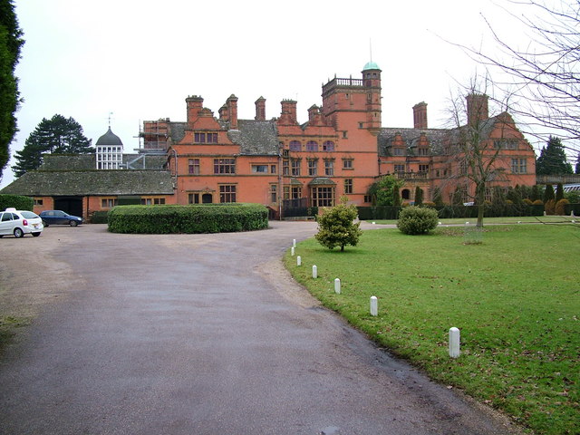
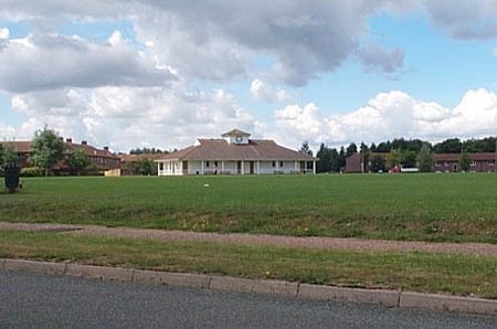
Cottesmore School

Cottesmore is a boarding preparatory school in the United Kingdom, founded in 1894. == History == Cottesmore was founded by Geoffrey Davison Brown in 1894...

Nearby Amenities

Located within 500m of 51.094673,-0.22400497
Toilets
Access: public
Check Date: 2023-08-17
Fee: no
Lat/Long: 51.0971549/-0.222442
Middle Covert
Place: locality
Lat/Long: 51.0929108/-0.2268137
Spruce Hill
Place: locality
Lat/Long: 51.0938137/-0.229968
Fixme: to continue
Lat/Long: 51.0932457/-0.22739
The data included in this document is from www.openstreetmap.org. The data is made available under ODbL.

Have you been to Douster Pond?

Leave your review of Douster Pond below (or comments, questions and feedback).