Furze Field
Wood, Forest in Sussex Horsham
England
Furze Field

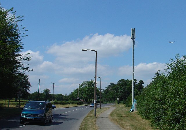
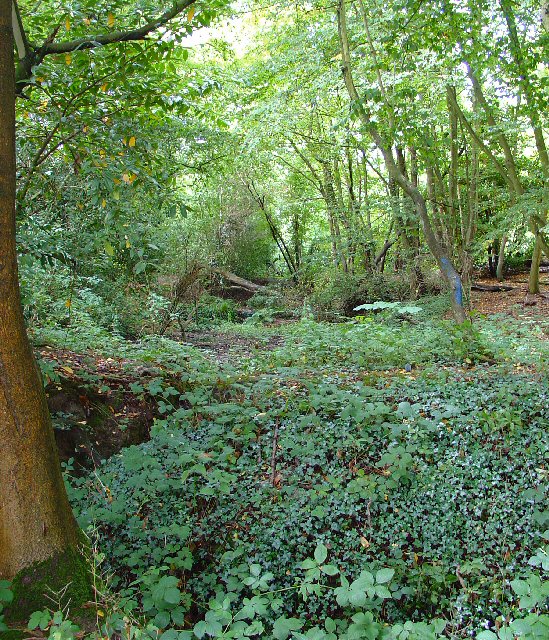
Furze Field, located in Sussex, England, is a picturesque woodland area renowned for its natural beauty and rich biodiversity. This ancient forest spans across approximately 500 acres and is part of the South Downs National Park, a protected area that encompasses stunning landscapes and diverse wildlife.
The woodland is predominantly composed of oak and beech trees, which provide a dense canopy and create a peaceful and serene atmosphere. The forest floor is adorned with an array of wildflowers, including bluebells, primroses, and foxgloves, painting a vibrant and colorful landscape during the spring and summer months.
Furze Field is home to a variety of wildlife, making it a popular destination for nature enthusiasts and wildlife photographers. Visitors may encounter deer, foxes, badgers, and a wide range of bird species, such as woodpeckers, owls, and warblers. The forest is also known for its population of rare and elusive creatures, including dormice and bats, making it an important habitat for conservation efforts.
The woodland offers several walking trails, allowing visitors to explore its hidden treasures at their own pace. These trails wind through the forest, offering breathtaking views of the surrounding countryside and providing opportunities for peaceful contemplation and relaxation.
Furze Field is a haven for those seeking solace in nature, offering a tranquil retreat away from the hustle and bustle of city life. Its natural beauty and diverse wildlife make it a truly remarkable destination for both locals and tourists alike.
If you have any feedback on the listing, please let us know in the comments section below.
Furze Field Images
Images are sourced within 2km of 51.138725/-0.21897011 or Grid Reference TQ2439. Thanks to Geograph Open Source API. All images are credited.


Furze Field is located at Grid Ref: TQ2439 (Lat: 51.138725, Lng: -0.21897011)
Administrative County: West Sussex
District: Horsham
Police Authority: Sussex
What 3 Words
///change.urgent.memo. Near Langley Green, West Sussex
Nearby Locations
Related Wikis
Ifield Friends Meeting House
The Ifield Friends Meeting House is a Friends meeting house (Quaker place of worship) in the Ifield neighbourhood of Crawley, a town and borough in West...
Gatwick Aviation Museum
The Gatwick Aviation Museum is located in the village of Charlwood, in Surrey, United Kingdom on the boundary of Gatwick Airport. == History == Originally...

St Margaret's Church, Ifield
St Margaret's Church is an Anglican church in the Ifield neighbourhood of Crawley, a town and borough in West Sussex, England. It is the ancient parish...

Langley Green & West Green (electoral division)
Langley Green & West Green is an electoral division of West Sussex in the United Kingdom, and returns one member to sit on West Sussex County Council....

Ifield, West Sussex
Ifield is a former village and now one of 14 neighbourhoods within the town of Crawley in West Sussex, England. Ifield is in the west of the town and...
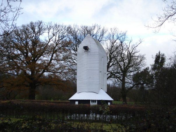
Lowfield Heath Windmill
Lowfield Heath Windmill is a grade II listed post mill at Charlwood, Surrey, England which has been restored to working order. == History == The Lowfield...

Manor Royal
Manor Royal is an industrial zone within the town of Crawley in West Sussex, England. Manor Royal is in the north of the town near to Gatwick Airport....
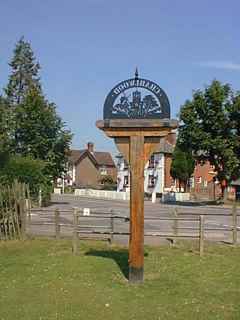
Charlwood
Charlwood is a village and civil parish in the Mole Valley district of Surrey, England. It is immediately northwest of London Gatwick Airport in West Sussex...
Nearby Amenities
Located within 500m of 51.138725,-0.21897011Have you been to Furze Field?
Leave your review of Furze Field below (or comments, questions and feedback).