Broad Plantation
Wood, Forest in Huntingdonshire Huntingdonshire
England
Broad Plantation
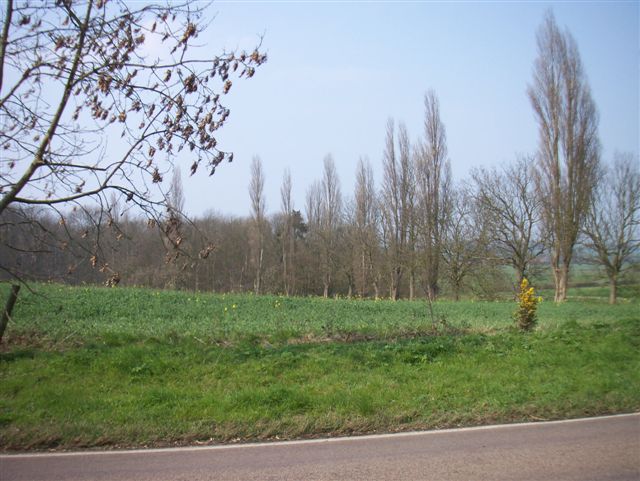
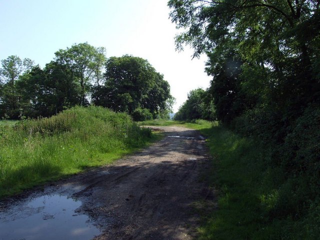
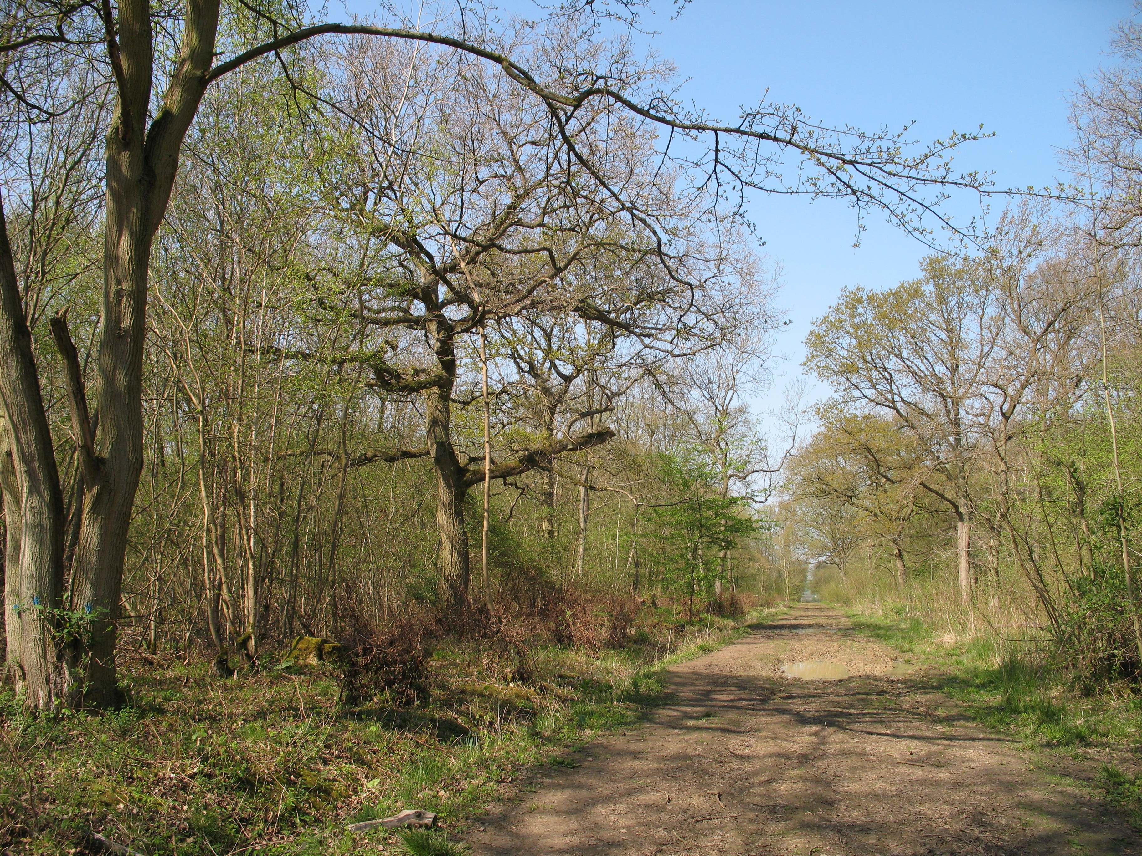
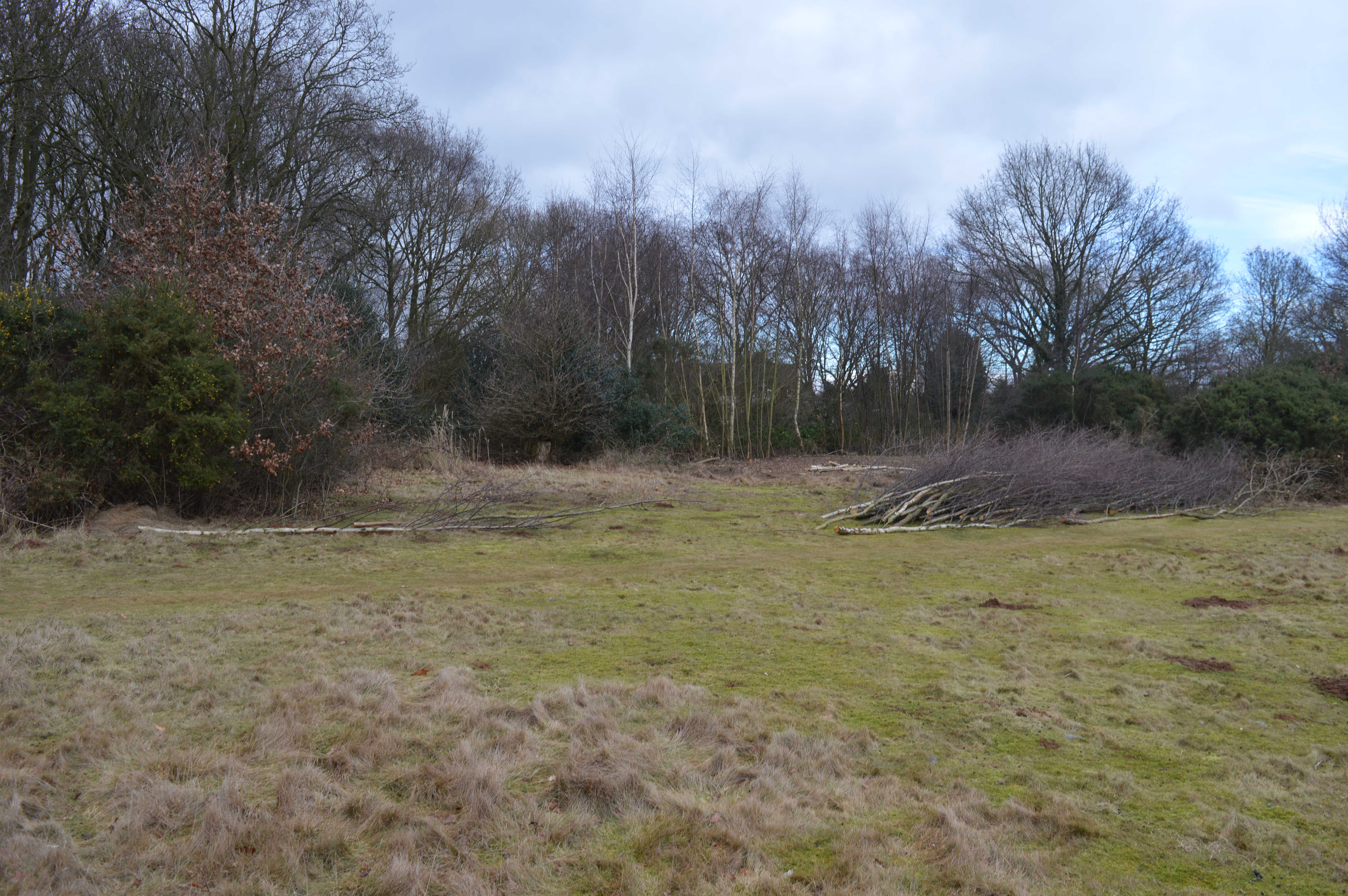
Broad Plantation is a picturesque woodland located in Huntingdonshire, a county in the eastern region of England. Covering an area of approximately 100 acres, this woodland is a popular destination for nature enthusiasts and outdoor adventurers.
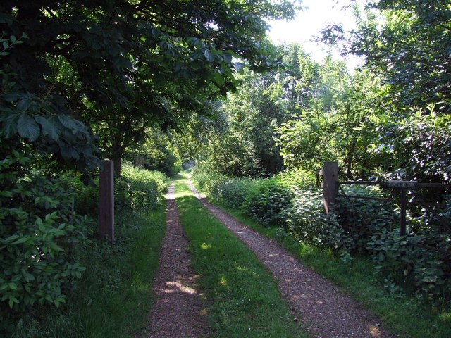
The plantation is characterized by an abundance of broadleaf trees, including oak, beech, and ash, which give the area its distinctive name. The dense canopy created by these trees provides a cool and shaded environment, making it an ideal spot for a leisurely stroll or a picnic on a hot summer day.
A network of well-maintained footpaths and trails weaves through the woodland, allowing visitors to explore its beauty at their own pace. These paths are suitable for walkers of all abilities, including families with young children and individuals with limited mobility. Along the way, visitors can expect to encounter a variety of flora and fauna, from wildflowers and ferns to squirrels and birds.
The diverse ecosystem of Broad Plantation also makes it a haven for wildlife. Birdwatchers will delight in the opportunity to spot species such as woodpeckers, warblers, and owls, while nature enthusiasts may come across deer, foxes, and rabbits during their visit.
To ensure the preservation of this natural gem, the plantation is managed by a local conservation organization. They work diligently to maintain the delicate balance of the woodland ecosystem, ensuring that future generations can continue to enjoy its beauty.
Whether seeking a peaceful escape from the hustle and bustle of everyday life or an opportunity to immerse oneself in nature's wonders, Broad Plantation offers a tranquil and enriching experience for all who visit.
If you have any feedback on the listing, please let us know in the comments section below.
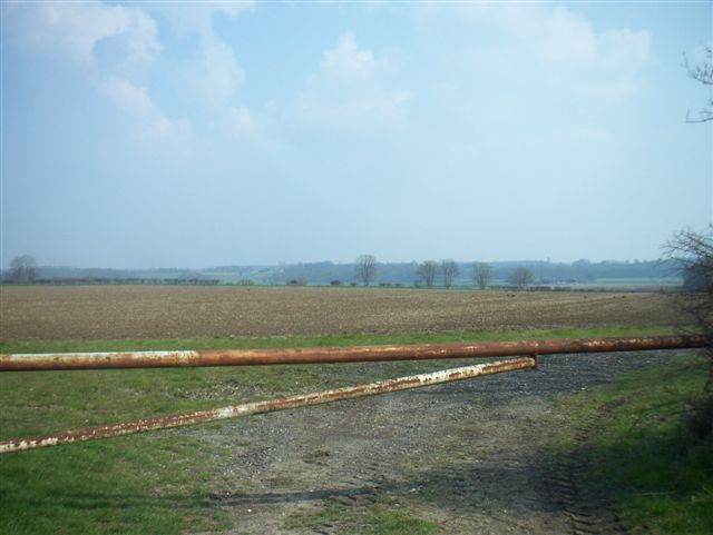
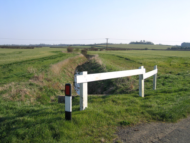
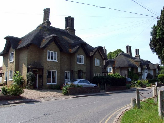
Broad Plantation Images
Images are sourced within 2km of 52.184956/-0.19326507 or Grid Reference TL2355. Thanks to Geograph Open Source API. All images are credited.

Broad Plantation is located at Grid Ref: TL2355 (Lat: 52.184956, Lng: -0.19326507)
Administrative County: Cambridgeshire
District: Huntingdonshire
Police Authority: Cambridgeshire
What 3 Words
///tripods.exhale.cracks. Near Gamlingay, Cambridgeshire
Nearby Locations
Related Wikis

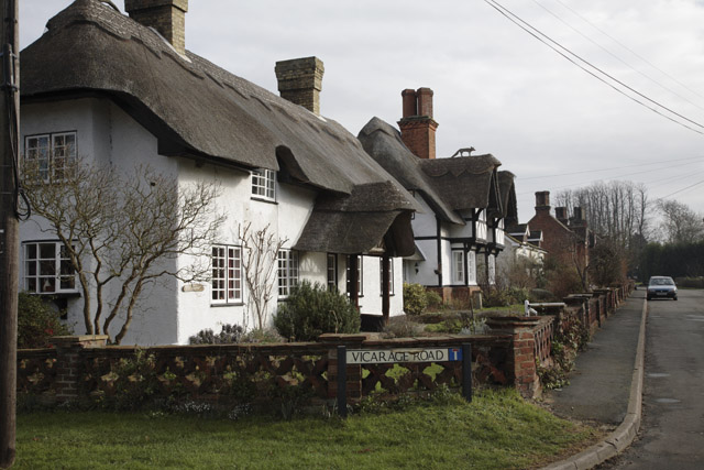
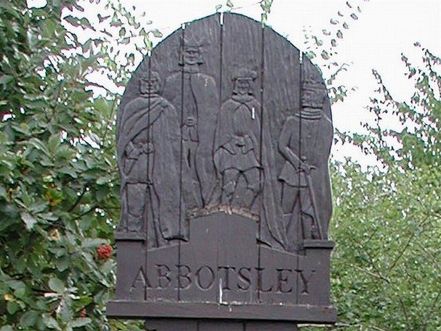
Abbotsley
Abbotsley is a village and civil parish within the Huntingdonshire district of Cambridgeshire, England. It is three miles from St Neots and 14 miles from...

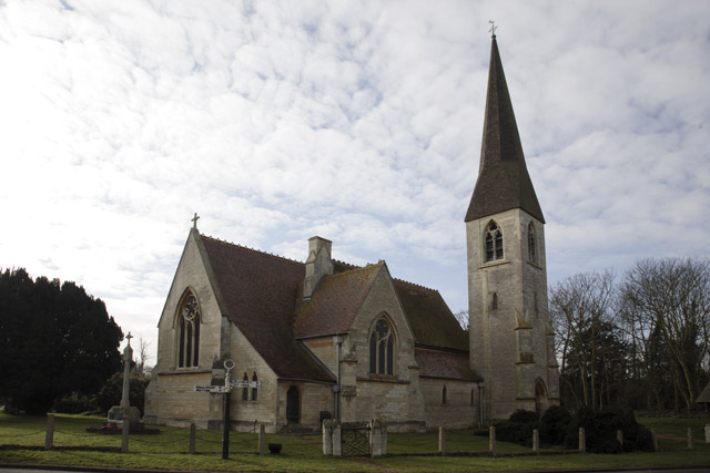
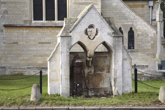
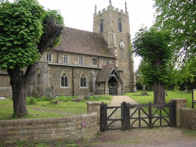
St Margaret's Church, Abbotsley
St Margaret's Church is a historic Anglican church in the village of Abbotsley, Cambridgeshire, England. It is recorded in the National Heritage List...

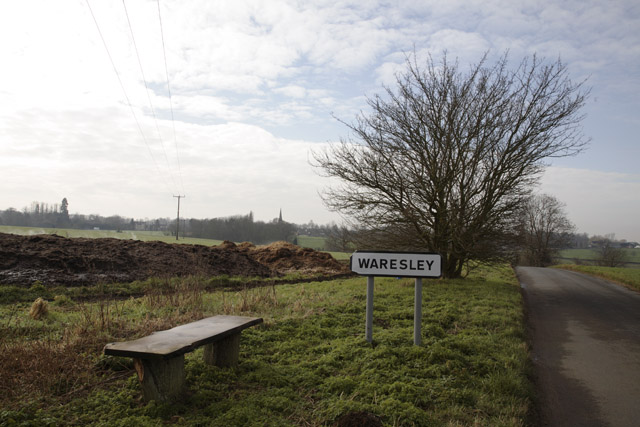
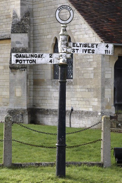
Waresley
Waresley is a village and former civil parish, now in the parish of Waresley-cum-Tetworth, in Cambridgeshire, England. Waresley lies approximately 11 miles...

Weaveley and Sand Woods
Weaveley and Sand Woods is a 62.0-hectare (153-acre) biological Site of Special Scientific Interest north of Gamlingay in Cambridgeshire.This site has...

Gamlingay Wood
Gamlingay Wood is a 48.4-hectare (120-acre) biological Site of Special Scientific Interest (SSSI) north of Gamlingay in Cambridgeshire. It is managed by...
Waresley and Gransden Woods
Waresley and Gransden Woods is a 50-hectare (120-acre) nature reserve between Waresley and Great Gransden in Cambridgeshire, England. It is managed by...
Gamlingay Cinques
Gamlingay Cinques is a 3.4-hectare (8.4-acre) nature reserve in Gamlingay in Cambridgeshire. It is managed by the Wildlife Trust for Bedfordshire, Cambridgeshire...

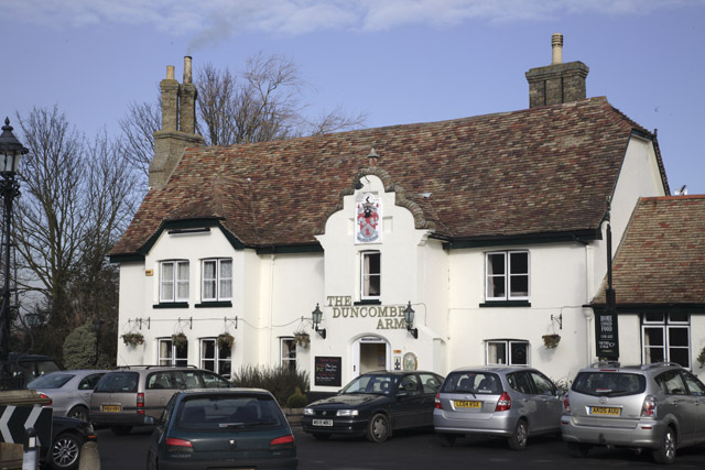
Gamlingay
Gamlingay is a village and civil parish in the South Cambridgeshire district of Cambridgeshire, England about 14 miles (23 km) west southwest of the county...
Nearby Amenities
Located within 500m of 52.184956,-0.19326507Have you been to Broad Plantation?
Leave your review of Broad Plantation below (or comments, questions and feedback).