Lily Hill Plantation
Wood, Forest in Huntingdonshire Huntingdonshire
England
Lily Hill Plantation
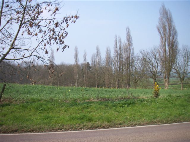
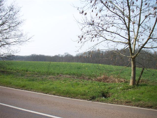
Lily Hill Plantation, located in Huntingdonshire, is a picturesque woodland area known for its natural beauty and historical significance. Covering a vast area of approximately 500 acres, the plantation is predominantly composed of dense woodlands, making it an ideal destination for nature enthusiasts and outdoor adventurers.
The plantation is home to a diverse range of flora and fauna, creating a thriving ecosystem. Visitors can expect to find towering oak trees, majestic beech trees, and an array of wildflowers, creating a vibrant and colorful landscape. The woodland floor is adorned with a carpet of ferns, moss, and bluebells during the springtime, creating a serene and enchanting atmosphere.
In addition to its natural beauty, Lily Hill Plantation holds historical importance. It was originally planted in the 19th century as a timber plantation, and remnants of this past can still be seen. The plantation provides a glimpse into the region's history and its reliance on timber for economic growth.
Visitors have the opportunity to explore the woodland through a network of well-maintained walking trails, allowing them to immerse themselves in the tranquility of nature. Birdwatchers will be delighted by the variety of avian species that inhabit the area, including woodpeckers, owls, and various songbirds.
Lily Hill Plantation offers a peaceful retreat from the hustle and bustle of city life, providing a sanctuary for both wildlife and humans alike. Its natural beauty and historical significance make it a must-visit destination for those seeking to connect with nature and explore the rich heritage of Huntingdonshire.
If you have any feedback on the listing, please let us know in the comments section below.
Lily Hill Plantation Images
Images are sourced within 2km of 52.181771/-0.19022004 or Grid Reference TL2355. Thanks to Geograph Open Source API. All images are credited.

Lily Hill Plantation is located at Grid Ref: TL2355 (Lat: 52.181771, Lng: -0.19022004)
Administrative County: Cambridgeshire
District: Huntingdonshire
Police Authority: Cambridgeshire
What 3 Words
///dented.ignites.walked. Near Gamlingay, Cambridgeshire
Nearby Locations
Related Wikis

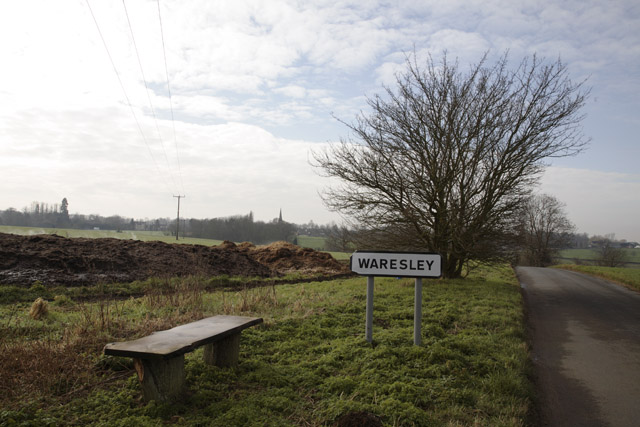
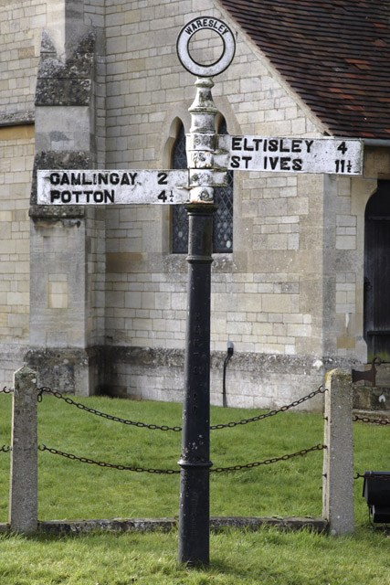
Waresley
Waresley is a village and former civil parish, now in the parish of Waresley-cum-Tetworth, in Cambridgeshire, England. Waresley lies approximately 11 miles...

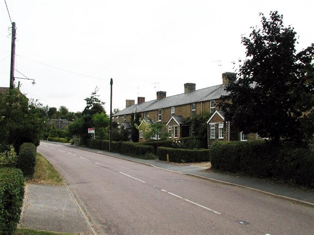
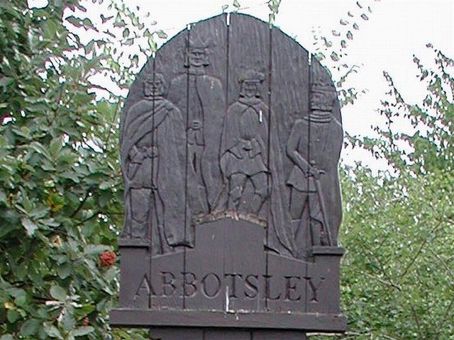
Abbotsley
Abbotsley is a village and civil parish within the Huntingdonshire district of Cambridgeshire, England. It is three miles from St Neots and 14 miles from...

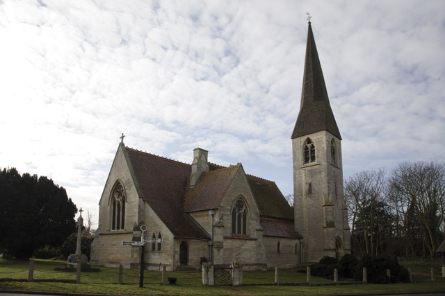
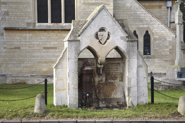
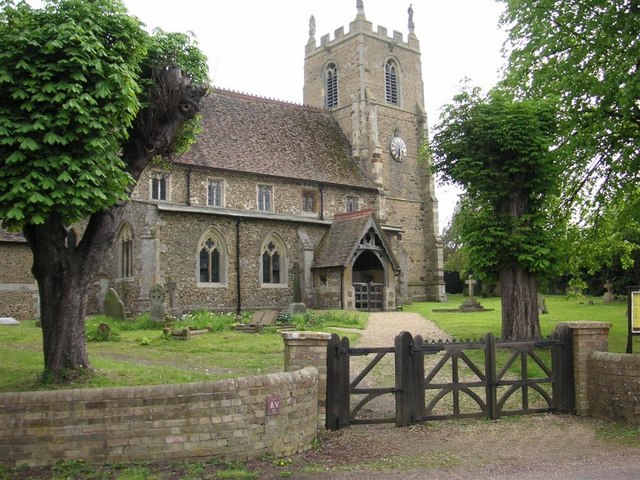
St Margaret's Church, Abbotsley
St Margaret's Church is a historic Anglican church in the village of Abbotsley, Cambridgeshire, England. It is recorded in the National Heritage List...

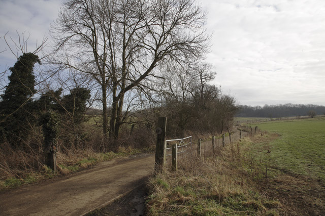
Weaveley and Sand Woods
Weaveley and Sand Woods is a 62.0-hectare (153-acre) biological Site of Special Scientific Interest north of Gamlingay in Cambridgeshire.This site has...
Nearby Amenities
Located within 500m of 52.181771,-0.19022004Have you been to Lily Hill Plantation?
Leave your review of Lily Hill Plantation below (or comments, questions and feedback).