Holmbush Forest

Wood, Forest in Sussex Horsham

England

Holmbush Forest

Bewbush Barn Church An old barn conversion. The barn predates the surrounding housing by several decade. Money was raised by the local church community over several years with the church opening in the late 1990s, and making one of the more interesting parish churches around
Bewbush Barn Church Credit: Michael of Crawley

Holmbush Forest is a picturesque woodland located in the county of Sussex, England. Spanning over an area of approximately 500 acres, it boasts a diverse range of flora and fauna, making it a popular destination for nature lovers and outdoor enthusiasts.

The forest is primarily composed of deciduous trees, with oak, beech, and ash being the dominant species. These trees create a dense canopy, providing shade and shelter for various wildlife species. The forest floor is adorned with a carpet of bluebells during spring, creating a stunning display of colors.

Holmbush Forest is home to numerous animal species, including deer, foxes, badgers, and a variety of bird species. The forest offers a tranquil environment for birdwatching, with bird feeders attracting various songbirds throughout the year.

The forest is crisscrossed by a network of well-maintained walking trails, allowing visitors to explore its natural beauty. These trails range from easy strolls to more challenging hikes, catering to individuals of all fitness levels. Along the way, visitors can discover hidden ponds, babbling brooks, and charming glades.

Holmbush Forest also offers recreational activities such as mountain biking and horseback riding. The forest has designated tracks and paths for these activities, ensuring a safe and enjoyable experience for participants.

Overall, Holmbush Forest is a gem in the Sussex countryside, offering a peaceful retreat for nature enthusiasts and providing a habitat for a diverse range of flora and fauna. Its beauty and tranquility make it a must-visit destination for those seeking a connection with nature.

If you have any feedback on the listing, please let us know in the comments section below.

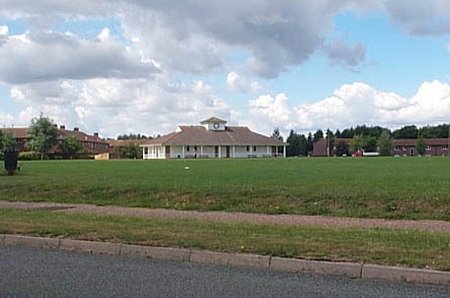
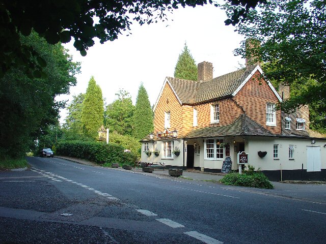
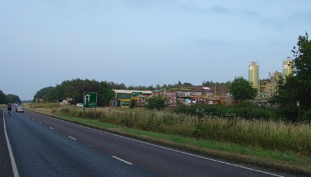
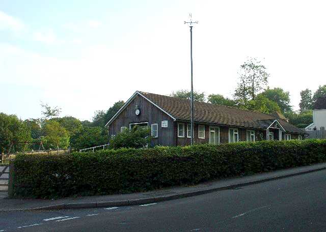
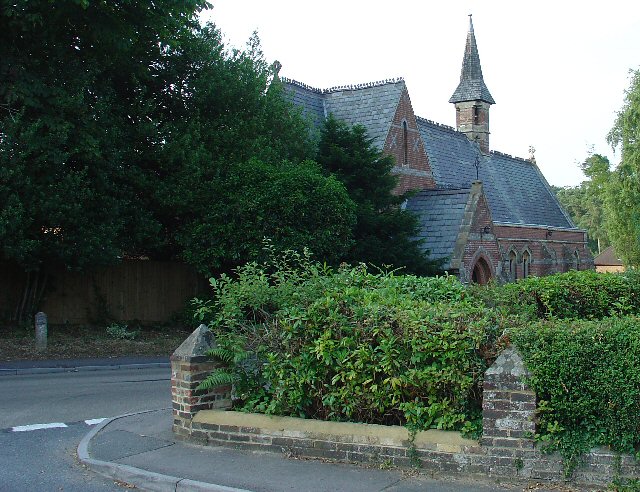
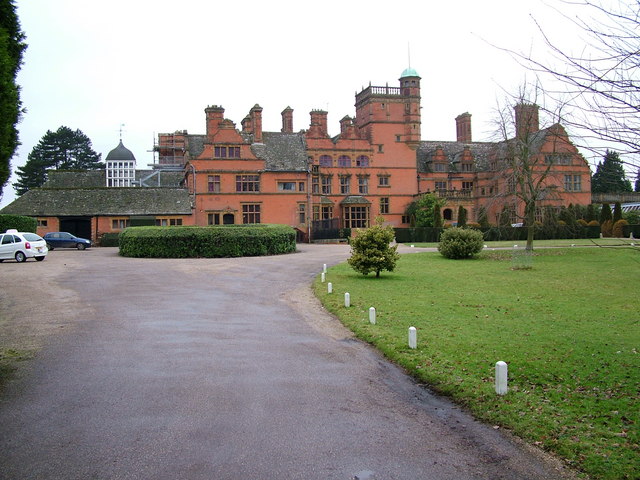
Holmbush Forest Images

Images are sourced within 2km of 51.087211/-0.23661356 or Grid Reference TQ2333. Thanks to Geograph Open Source API. All images are credited.

Bewbush Barn Church An old barn conversion. The barn predates the surrounding housing by several decade. Money was raised by the local church community over several years with the church opening in the late 1990s, and making one of the more interesting parish churches around
Bewbush Barn Church
An old barn conversion. The barn predates the surrounding housing by several decade. Money was raised by the local church community over several years with the church opening in the late 1990s, and making one of the more interesting parish churches around
Bewbush Leisure Centre Crawley's second leisure Centre, opened in 1984, demolished in 2009.
Bewbush Leisure Centre
Crawley's second leisure Centre, opened in 1984, demolished in 2009.
Bewbush Playing Fields Cricket Pavilion on the playing fields on the former plot of Gasson Wood.
Bewbush Playing Fields
Cricket Pavilion on the playing fields on the former plot of Gasson Wood.
The Dragon Public House, Colgate, West Sussex At one of the main crossroads of this small village. The pub is named after the dragon which was said to live in the nearby St. Leonards Forest.
The Dragon Public House, Colgate, West Sussex
At one of the main crossroads of this small village. The pub is named after the dragon which was said to live in the nearby St. Leonards Forest.
Water Tower, Beacon Hill, Colgate, West Sussex This concrete water tower is built near to the highest point on Beacon Hill (146m above sea level). Colgate is situated on top of a long ridge of wealdland that stretches E-W between Pease Pottage and the outskirts of Horsham. Water pressure in the area would be quite low without the use of a water tower.
Water Tower, Beacon Hill, Colgate, West Sussex
This concrete water tower is built near to the highest point on Beacon Hill (146m above sea level). Colgate is situated on top of a long ridge of wealdland that stretches E-W between Pease Pottage and the outskirts of Horsham. Water pressure in the area would be quite low without the use of a water tower.
Pease Pottage Radar Station Taking advantage of this relatively high site (140m above sea level), 80m above Gatwick airport, this is an air traffic control radar. Painted white to blend into the sky.
Pease Pottage Radar Station
Taking advantage of this relatively high site (140m above sea level), 80m above Gatwick airport, this is an air traffic control radar. Painted white to blend into the sky.
Telecoms mast, South Lodge, Pease Pottage, West Sussex One of several facilities in the area taking advantage of the relatively high altitude (water tower, radar station, reservoir). Much of the mast is masked by trees (similar to the radar station location) from most angles.
Telecoms mast, South Lodge, Pease Pottage, West Sussex
One of several facilities in the area taking advantage of the relatively high altitude (water tower, radar station, reservoir). Much of the mast is masked by trees (similar to the radar station location) from most angles.
Gate house to the Holmbush estate, off A264, between Crawley and Horsham The gatehouse to the original main drive up to the house on the Holmwood estate.
Gate house to the Holmbush estate, off A264, between Crawley and Horsham
The gatehouse to the original main drive up to the house on the Holmwood estate.
Holmbush Potteries Industrial Estate, Crawley. Conveniently situated off the main A264 road between Crawley and Horsham. Features a large builders merchants premises and several smaller trading and industrial units.
Holmbush Potteries Industrial Estate, Crawley.
Conveniently situated off the main A264 road between Crawley and Horsham. Features a large builders merchants premises and several smaller trading and industrial units.
Arable Fields between Pease Pottage and Colgate, West Sussex A typical corn field to the south of the minor road between Pease Pottage and Colgate. Viewed looking SE.
Arable Fields between Pease Pottage and Colgate, West Sussex
A typical corn field to the south of the minor road between Pease Pottage and Colgate. Viewed looking SE.
Bridle Road To Bucks Head Through St Leonards Forest, West Sussex The start of the main route through the forest from near The Dragon pub. This is a public bridleway.
Bridle Road To Bucks Head Through St Leonards Forest, West Sussex
The start of the main route through the forest from near The Dragon pub. This is a public bridleway.
Ancient Boundary? Earthwall Adjacent to Bridleway Between Beacon Hill and the St Leonards Forest Bridleway Earthwalls are often found in forested areas an can signify the presence of a very old boundary line. They often feature distinctive trees (e.g. pollards, or yews). Here we see an earthwall in a beech wood. The public right of way (bridleway) runs close to and parallel to the earthwall for some way.
Ancient Boundary? Earthwall Adjacent to Bridleway Between Beacon Hill and the St Leonards Forest Bridleway
Earthwalls are often found in forested areas an can signify the presence of a very old boundary line. They often feature distinctive trees (e.g. pollards, or yews). Here we see an earthwall in a beech wood. The public right of way (bridleway) runs close to and parallel to the earthwall for some way.
Colgate Village Hall, Colgate, West Sussex This village hall is the centre for a lot of village life and is appropriately in the centre of the village! This particular hall building replaced one that was bombed during the second world war.
Colgate Village Hall, Colgate, West Sussex
This village hall is the centre for a lot of village life and is appropriately in the centre of the village! This particular hall building replaced one that was bombed during the second world war.
St Saviours Church, Colgate, West Sussex Centrally located in the village: almost opposite one of the two main road junctions; and near to the village hall. Brick built with a slate roof.
St Saviours Church, Colgate, West Sussex
Centrally located in the village: almost opposite one of the two main road junctions; and near to the village hall. Brick built with a slate roof.
Bridleway through Holmbush Forest, near Colgate, West Sussex This bridleway runs through Holmbush forest from Colgate to the main road between Crawley and Horsham (A264).
Bridleway through Holmbush Forest, near Colgate, West Sussex
This bridleway runs through Holmbush forest from Colgate to the main road between Crawley and Horsham (A264).
Golf Course at Cottesmore Golf and Country Club This golf course spreads over much of this grid square and into TQ2533. This view is from a public footpath, looking east. The large radar scanner of the Pease Pottage Radar station can be seen above the trees in the distance.
Golf Course at Cottesmore Golf and Country Club
This golf course spreads over much of this grid square and into TQ2533. This view is from a public footpath, looking east. The large radar scanner of the Pease Pottage Radar station can be seen above the trees in the distance.
Cottesmore School, Buchan Hill, near Pease Pottage, West Sussex A full boarding co-educational prep school (the only one in the UK - according to their website <span class="nowrap"><a title="http://www.cottesmoreschool.com" rel="nofollow ugc noopener" href="http://www.cottesmoreschool.com">Link</a><img style="margin-left:2px;" alt="External link" title="External link - shift click to open in new window" src="https://s1.geograph.org.uk/img/external.png" width="10" height="10"/></span> ). A couple of sand traps of the Cottesmore Country Club golf course can also be seen.
Cottesmore School, Buchan Hill, near Pease Pottage, West Sussex
A full boarding co-educational prep school (the only one in the UK - according to their website LinkExternal link ). A couple of sand traps of the Cottesmore Country Club golf course can also be seen.
Bridleway through Cottesmore Country Club and School. The sign indicates a bend in the route of the bridleway that cuts through the country club and school grounds between Pease Pottage and the Broadfield neighbourhood of Crawley. At this point the public right of way is following the drive to the school. Behind the sign can be seen the flag of one of the golf greens.
Bridleway through Cottesmore Country Club and School.
The sign indicates a bend in the route of the bridleway that cuts through the country club and school grounds between Pease Pottage and the Broadfield neighbourhood of Crawley. At this point the public right of way is following the drive to the school. Behind the sign can be seen the flag of one of the golf greens.
Show me another place!

Holmbush Forest is located at Grid Ref: TQ2333 (Lat: 51.087211, Lng: -0.23661356)

Administrative County: West Sussex

District: Horsham

Police Authority: Sussex

What 3 Words

///lively.club.rental. Near Bewbush, West Sussex

Related Wikis

Horsham and Crawley (UK Parliament constituency)

Horsham and Crawley was a parliamentary constituency centred on the towns of Horsham and Crawley in West Sussex. It returned one Member of Parliament...

Colgate, West Sussex

Colgate is a small village and civil parish in the Horsham district of West Sussex, England, about four miles (6 km) north east of Horsham. A small village...

Buchan Hill Ponds

Buchan Hill Ponds is a 19.5-hectare (48-acre) biological Site of Special Scientific Interest on the south-west outskirts of Crawley in West Sussex.This...

Kilnwood Vale

Kilnwood Vale is part of the Horsham district of West Sussex, England. It borders the High Weald Area of Outstanding Natural Beauty along the A264 east...

Cottesmore School

Cottesmore is a boarding preparatory school in the United Kingdom, founded in 1894. == History == Cottesmore was founded by Geoffrey Davison Brown in 1894...

Target Hill Park

Target Hill Park is a 9-hectare (22-acre) Local Nature Reserve in Crawley in West Sussex. It is owned by Crawley Borough Council and managed by the council...

Faygate

Faygate is a village in the Horsham district of West Sussex, England. It lies on the A264 road 3.4 miles (5.4 km) south west of Crawley. It has a railway...

Kilnwood Vale railway station

Kilnwood Vale is a proposed railway station in Kilnwood Vale, Horsham, West Sussex which would serve the neighbourhoods of Kilnwood Vale and Bewbush. The...

Related Videos

Walks in Sussex: St Leonards Forest

A walk through St Leonards Forest in Horsham via Colgate, Buchan Country Park and Faygate. Includes history and dragons.

Buchan Country Park | Easter Sunday Walk

Easter Vlogs Continues On This one early morning I take Ace for a walk around Buchan Park . Come and join us and enjoy the ...

Nearby Amenities

Located within 500m of 51.087211,-0.23661356
Shepherdsfield Farm
Place: farm
Lat/Long: 51.0870812/-0.2315605
Forest Farm
Place: farm
Lat/Long: 51.0836119/-0.2394294
The data included in this document is from www.openstreetmap.org. The data is made available under ODbL.

Have you been to Holmbush Forest?

Leave your review of Holmbush Forest below (or comments, questions and feedback).