Elstree
Settlement in Middlesex / Hertfordshire Hertsmere
England
Elstree
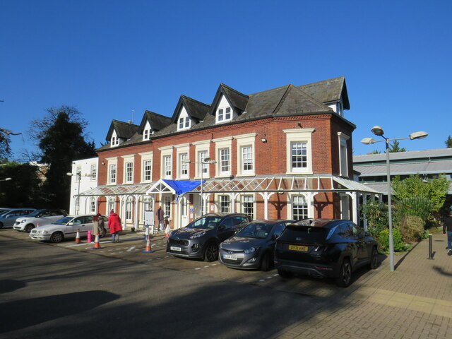
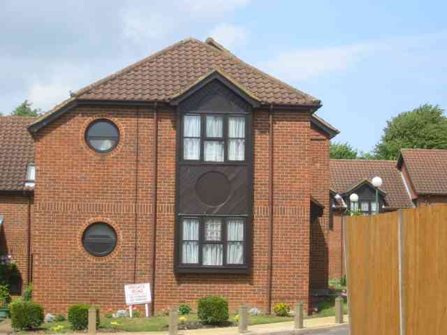
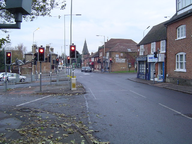
Elstree is a small town located in the county of Hertfordshire, England. Situated approximately 13 miles northwest of central London, Elstree falls within the boundaries of both Hertfordshire and the London Borough of Barnet. The town is part of the larger Elstree and Borehamwood area and is bordered by other nearby towns such as Borehamwood, Radlett, and Edgware.
Elstree has a rich history dating back to the medieval times when it was known as a rural settlement. Over the years, it has transformed into a vibrant suburban town with a mix of residential, commercial, and industrial areas. The town benefits from excellent transport links, including the nearby Elstree & Borehamwood railway station, which provides regular train services to London and other major cities.
One of Elstree's notable features is its strong association with the film and television industry. The renowned Elstree Studios, located in nearby Borehamwood, have been the production site for numerous famous films and TV shows, including Star Wars, Indiana Jones, and The Crown. This connection has made Elstree a hub for media professionals and has contributed to the town's reputation as a center for creativity and entertainment.
In terms of amenities, Elstree boasts a range of shops, restaurants, and recreational facilities, including parks and sports clubs. The town also benefits from being located in close proximity to several green spaces, such as Aldenham Country Park and Stanmore Country Park, providing residents with opportunities for outdoor activities and leisure.
Overall, Elstree offers a well-connected and vibrant living environment, combining its historical charm with modern amenities and a thriving entertainment industry.
If you have any feedback on the listing, please let us know in the comments section below.
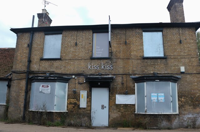
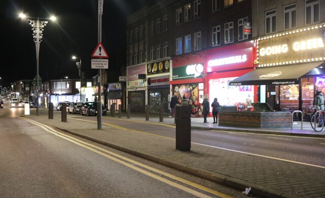
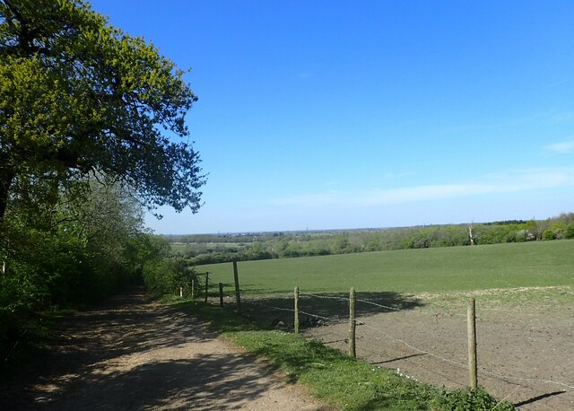
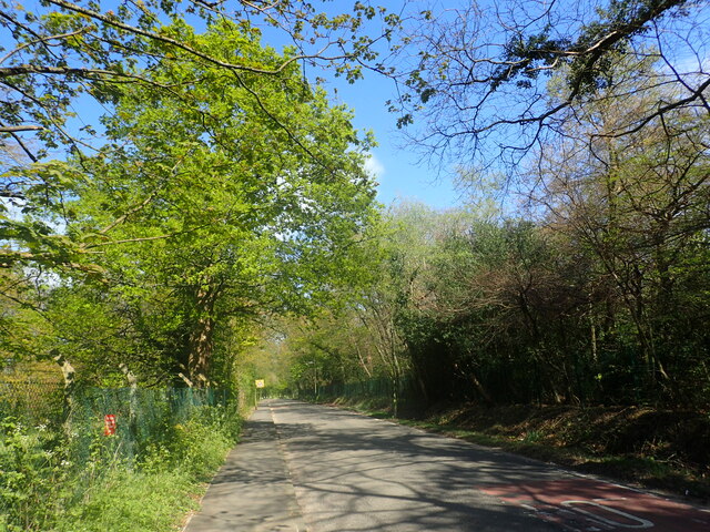
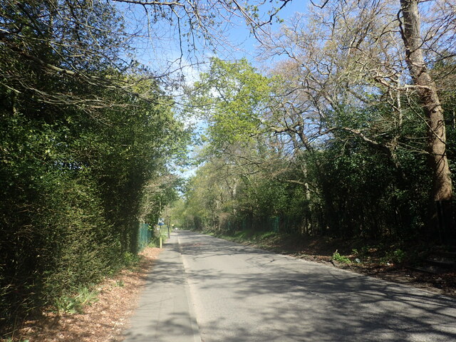
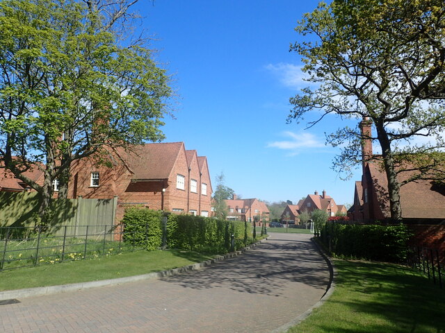
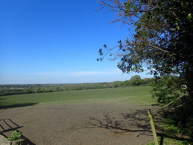
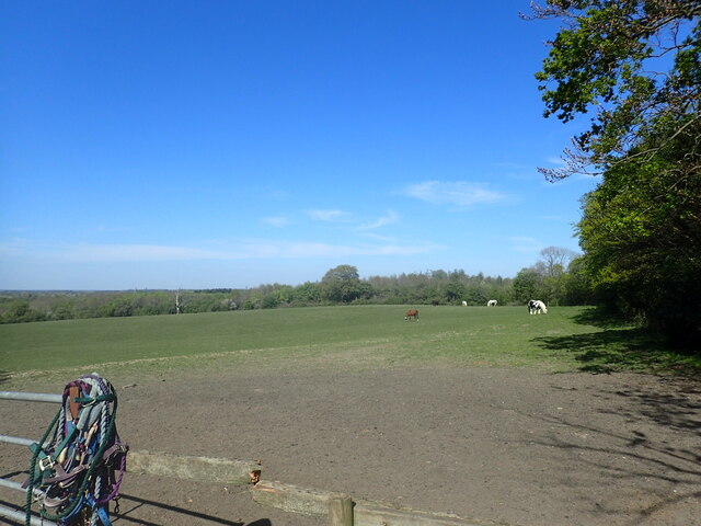
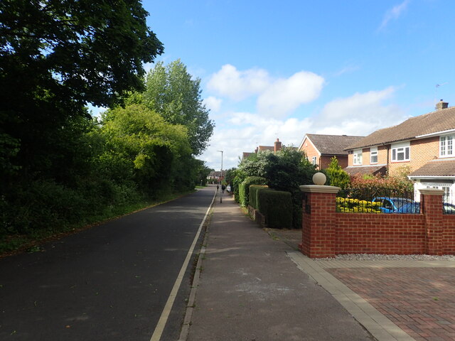
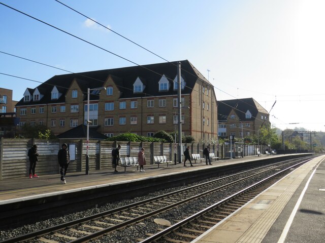
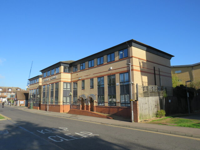
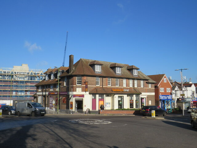
Elstree Images
Images are sourced within 2km of 51.643884/-0.298809 or Grid Reference TQ1795. Thanks to Geograph Open Source API. All images are credited.

Elstree is located at Grid Ref: TQ1795 (Lat: 51.643884, Lng: -0.298809)
Administrative County: Hertfordshire
District: Hertsmere
Police Authority: Hertfordshire
What 3 Words
///loudly.rubble.ears. Near Elstree, Hertfordshire
Nearby Locations
Related Wikis
Elstree
Elstree is a large village in the Hertsmere borough of Hertfordshire, England. It is about 15 miles (24 kilometres) northwest of central London on the...
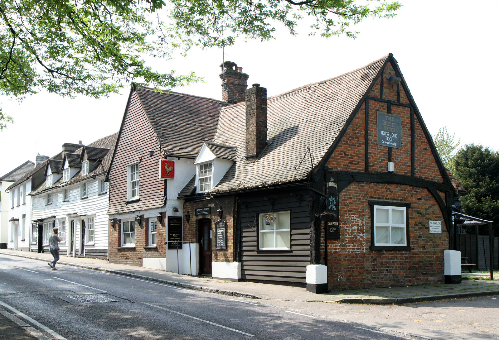
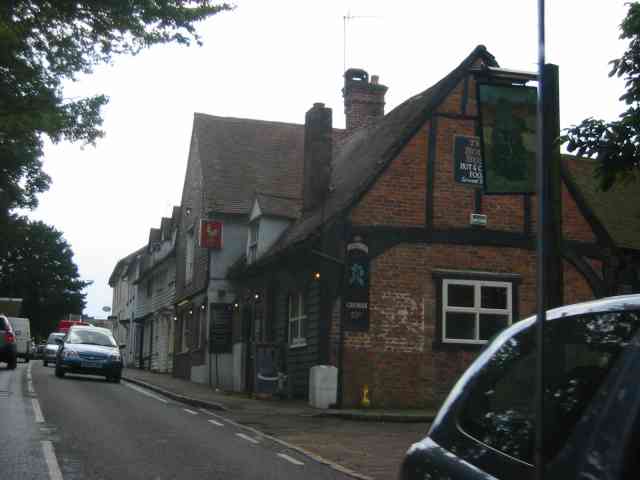
The Holly Bush, Elstree
The Holly Bush is a listed building, formerly a public house, on the High Street, Elstree, Hertfordshire, England. Elstree's High Street was formerly an...

The Leys, Elstree
The Leys in Barnet Lane, Elstree, Hertfordshire, is an architecturally notable house that is grade II* listed with Historic England. == References ==
Elstree South tube station
Elstree South (usually just Elstree on Underground maps) was a proposed London Underground station in Elstree, Hertfordshire. It was designed by Charles...
Aldenham Works
The Aldenham Works, or Aldenham Bus Overhaul Works, was the main London Transport bus overhaul works. It was located on the edge of the Hertfordshire village...
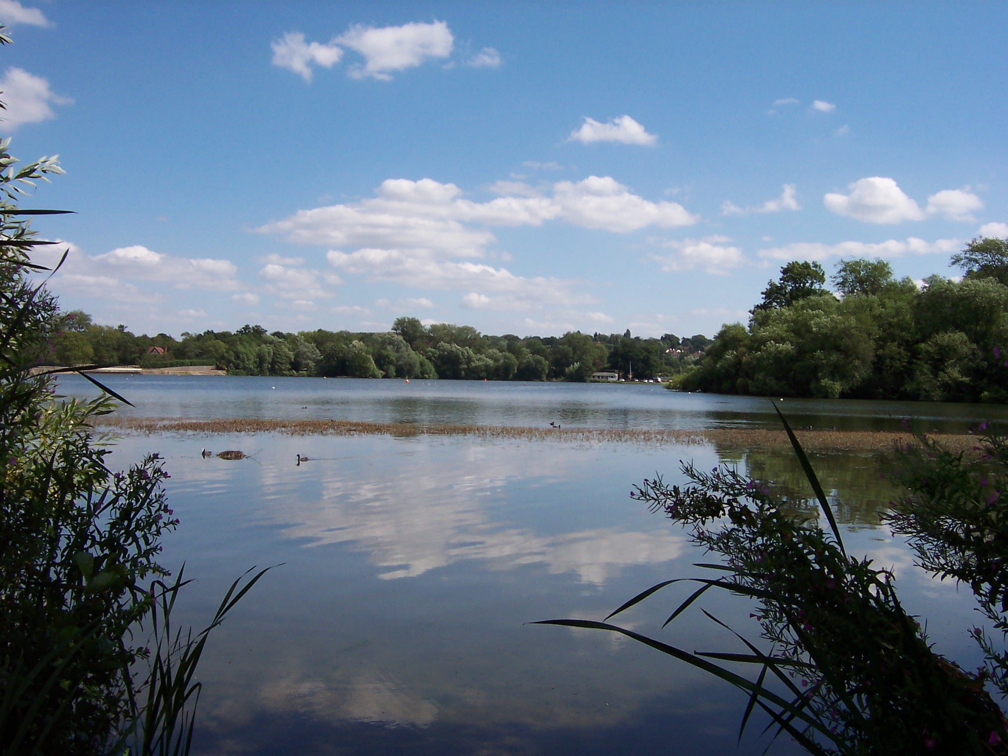
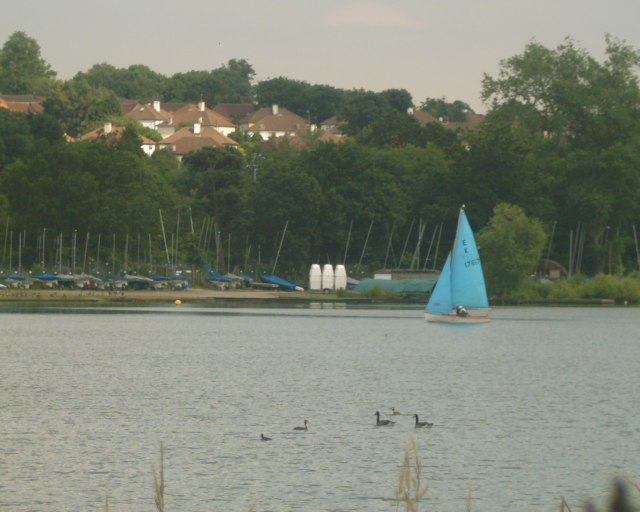
Aldenham Reservoir
Aldenham Reservoir is situated in the parish of Elstree and Borehamwood in Hertfordshire, England, about one mile (1.6 km) to the west of the village of...
New Elstree Studios
New Elstree Studios was a British film studio complex that was the main production centre for the Danziger Brothers from 1956 to 1962, and was one of several...
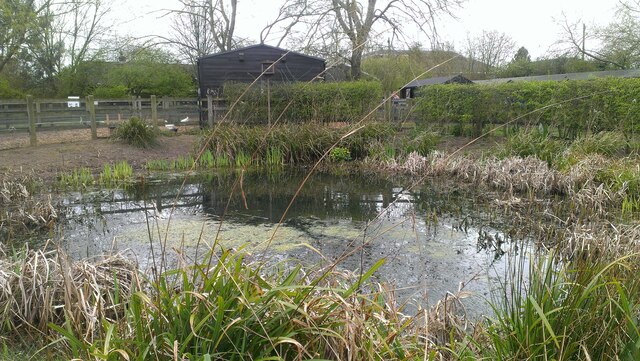
Aldenham Country Park
Aldenham Country Park is a 175-acre (0.71 km2) parkland and woodland, including Aldenham Reservoir. It is now part of the Watling Chase Community Forest...
Nearby Amenities
Located within 500m of 51.643884,-0.298809Have you been to Elstree?
Leave your review of Elstree below (or comments, questions and feedback).