Elstow

Settlement in Bedfordshire

England

Elstow

Lynton Grove at the junction of Ampthill Road
Lynton Grove at the junction of Ampthill Road Credit: David Howard

Elstow is a small village located in the county of Bedfordshire, England. Situated approximately three miles south of the town of Bedford, Elstow is known for its rich history and picturesque surroundings.

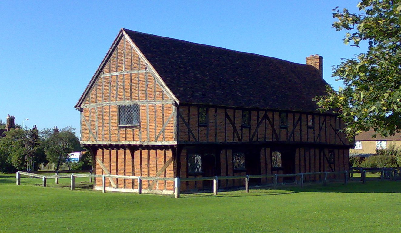
The village is primarily known for its connection to the famous English writer John Bunyan, who was born in Elstow in 1628. Bunyan's childhood home, the Elstow Moot Hall, still stands today and has been converted into a museum dedicated to his life and works. The museum attracts visitors from around the world who come to learn about Bunyan's influential contribution to literature.

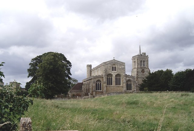
Elstow is also home to the St. Mary's Church, a notable landmark that dates back to the 11th century. The church features impressive architectural elements, including a striking tower and stunning stained glass windows. It holds regular services and is a significant part of the community's religious life.

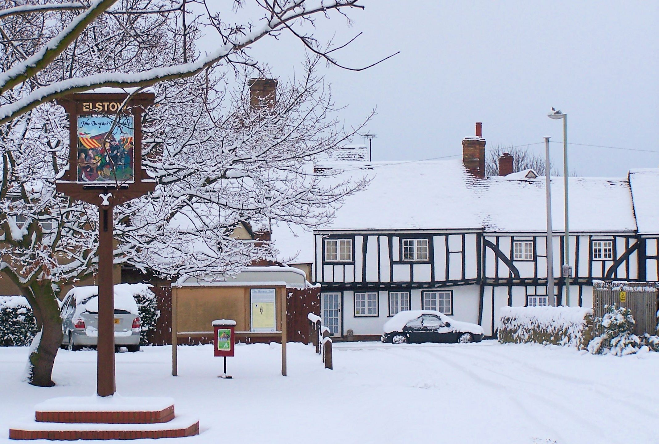
The village itself is characterized by charming thatched cottages, traditional English gardens, and tranquil green spaces. Elstow boasts a close-knit community, with various local events and activities organized throughout the year. The village also offers amenities such as a primary school, a village hall, and a pub, providing essential services to its residents.

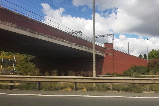
Elstow's location provides easy access to the nearby town of Bedford, where residents can find a wider range of amenities, including shops, restaurants, and leisure facilities. The village is well-connected by road, with the A6 passing nearby, making it accessible to those commuting to nearby towns and cities.

In summary, Elstow is a charming and historically significant village in Bedfordshire, offering a peaceful and picturesque setting for its residents and visitors alike.

If you have any feedback on the listing, please let us know in the comments section below.
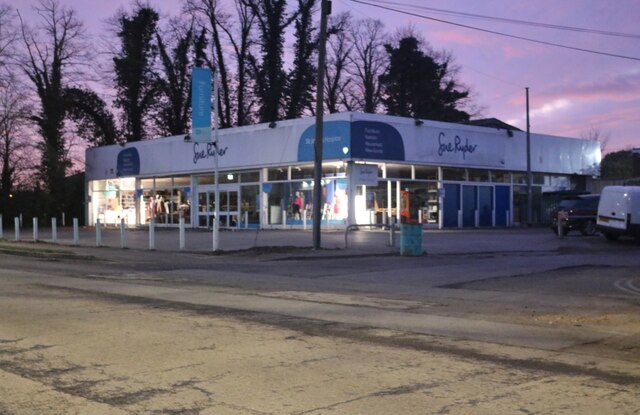
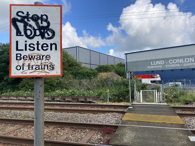
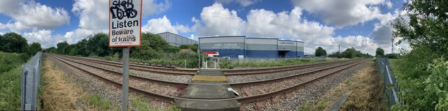
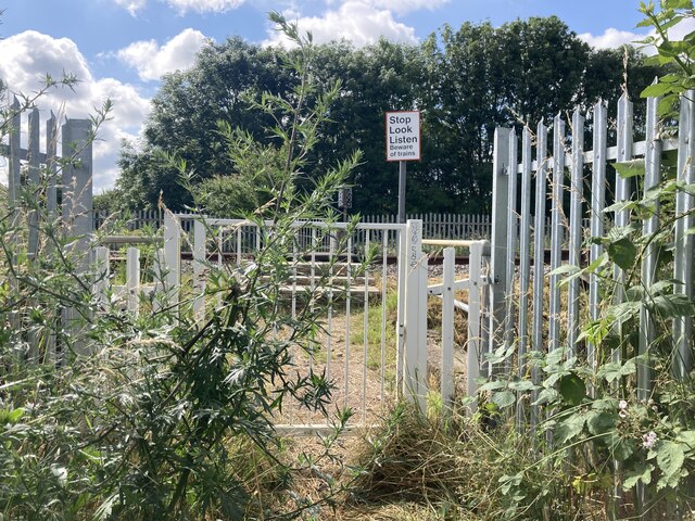
Elstow Images

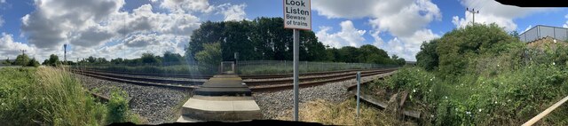
Images are sourced within 2km of 52.109516/-0.465802 or Grid Reference TL0546. Thanks to Geograph Open Source API. All images are credited.

Lynton Grove at the junction of Ampthill Road
Shops on Ampthill Road, Bedford
M&S Foodhall, and B&Q in the distance
Car dealership and car park
The Smiths Arms, Margetts Road, Kempston Public House on corner of Margetts Road and Duncombe Street, Kempston, Bedford. The building was first licensed as a beer house in 1856.
The Smiths Arms, Margetts Road, Kempston
Public House on corner of Margetts Road and Duncombe Street, Kempston, Bedford. The building was first licensed as a beer house in 1856.
Farrer Street, Kempston View along Farrer Street towards Bedford Road.
Farrer Street, Kempston
View along Farrer Street towards Bedford Road.
Sue Ryder shop on Ampthill Road, Bedford
Aldi on Ampthill Road, Bedford
Safestore on Ampthill Road, Bedford
Addison Close, Kempston
Elstow Road passes under a low railway bridge
A5151 at Bedford Audi
Woburn Road level crossing Woburn Road level crossing on the Marston Vale railway line, just south of Woburn Road industrial estate, Kempston, Bedfordshire.
Woburn Road level crossing
Woburn Road level crossing on the Marston Vale railway line, just south of Woburn Road industrial estate, Kempston, Bedfordshire.
Rail Bridge over the A421
Show me another place!

Elstow is located at Grid Ref: TL0546 (Lat: 52.109516, Lng: -0.465802)

Unitary Authority: Bedford

Police Authority: Bedfordshire

What 3 Words

///sheets.cheat.bench. Near Elstow, Bedfordshire

Nearby Locations

Elstow

Related Wikis

Elstow

Elstow is a village and civil parish in the Borough of Bedford, Bedfordshire, England, about 2 miles (3.2 km) south of Bedford town centre. == History... ==

Elstow Abbey

Elstow Abbey was a monastery for Benedictine nuns in Elstow, Bedfordshire, England. It was founded c.1075 by Judith, Countess of Huntingdon, a niece of...

Moot Hall, Elstow

The Moot Hall, also known as the Green House, is a medieval structure on The Green in Elstow, Bedfordshire, England. The structure, which currently operates...

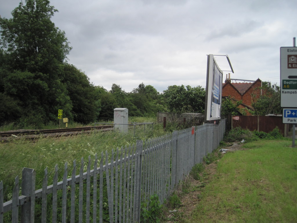
Kempston and Elstow Halt railway station

Kempston & Elstow Halt was a railway station on the Varsity Line which served the Bedfordshire town of Kempston in England. Opened in 1905, it was closed...

Nearby Amenities

Located within 500m of 52.109516,-0.465802
Source: bing
Traffic Calming: island
Lat/Long: 52.1115901/-0.4633974
Motorway Junction
Elstow Interchange
Lat/Long: 52.1089409/-0.4700643
Post Box
Brand: Royal Mail
Brand Wikidata: Q638098
Collection Times: Mo-Fr 09:00; Sa 07:00
Operator: Royal Mail
Operator Wikidata: Q638098
Post Box Type: pillar
Ref: MK42 148D
Royal Cypher: EIIR
Royal Cypher Wikidata: Q33102113
Source: survey
Survey Date: 2016-04-02
Lat/Long: 52.1127089/-0.4635151
Turning Circle
Lat/Long: 52.1088553/-0.4642763
Post Box
Brand: Royal Mail
Brand Wikidata: Q638098
Collection Times: Mo-Fr 17:00; Sa 10:30
Operator: Royal Mail
Operator Wikidata: Q638098
Post Box Type: lamp
Ref: MK42 259
Royal Cypher: EIIR
Royal Cypher Wikidata: Q33102113
Source: survey
Survey Date: 2016-04-02
Lat/Long: 52.1082863/-0.465081
The data included in this document is from www.openstreetmap.org. The data is made available under ODbL.

Have you been to Elstow?

Leave your review of Elstow below (or comments, questions and feedback).