Sheepfield Shaw

Wood, Forest in Sussex Horsham

England

Sheepfield Shaw

Scene near the south bank of the River Adur This path is often difficult to follow after heavy rain and flooding. There were no such difficulties today.
Scene near the south bank of the River Adur Credit: Ian Cunliffe

Sheepfield Shaw is a picturesque woodland area located in Sussex, England. Situated in the heart of the county, this idyllic woodland is known for its natural beauty and serene atmosphere. Spanning an area of approximately 200 acres, Sheepfield Shaw is home to a diverse range of flora and fauna, making it an ideal destination for nature enthusiasts and wildlife lovers.

The woodland is predominantly composed of tall, mature trees such as oak, beech, and birch, which provide a dense canopy of foliage, casting dappled sunlight on the forest floor. This creates a tranquil and enchanting ambiance, perfect for peaceful walks and picnics. Throughout the year, the woodland displays a stunning array of colors, from vibrant greens in the spring and summer, to warm hues of red, orange, and gold in the autumn.

Sheepfield Shaw is also home to a variety of wildlife. Visitors can spot numerous bird species, including woodpeckers, owls, and finches, as they flit through the treetops. Squirrels and rabbits are commonly seen scurrying through the underbrush, adding to the woodland's charm.

The forest is crisscrossed by a network of well-maintained footpaths, allowing visitors to explore the area at their own pace. These paths lead to hidden clearings, babbling brooks, and peaceful ponds, providing ample opportunities for relaxation and reflection.

Sheepfield Shaw is a popular destination for families, nature photographers, and outdoor enthusiasts alike. With its breathtaking scenery and abundance of wildlife, this woodland truly captures the essence of Sussex's natural beauty.

If you have any feedback on the listing, please let us know in the comments section below.

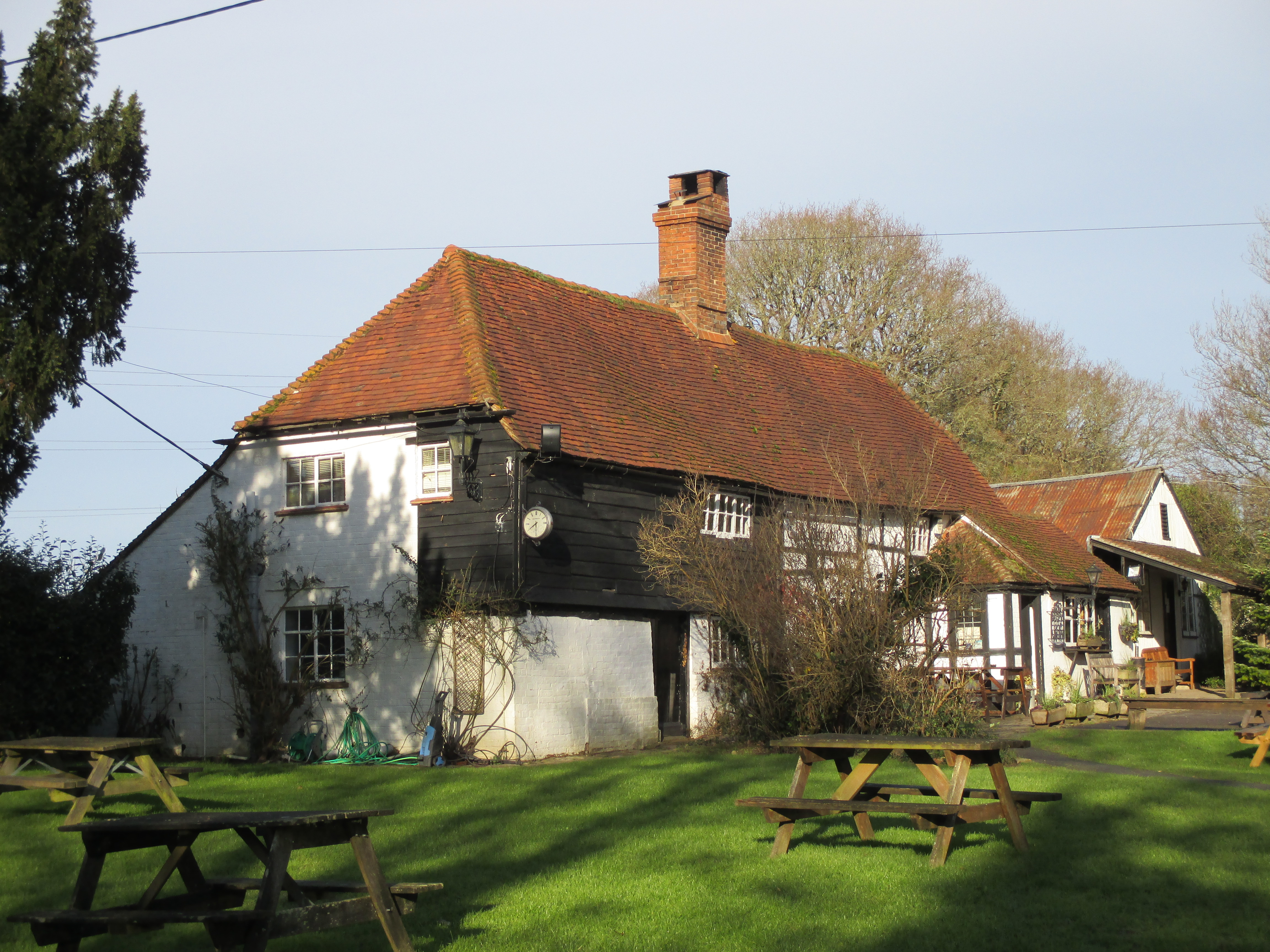
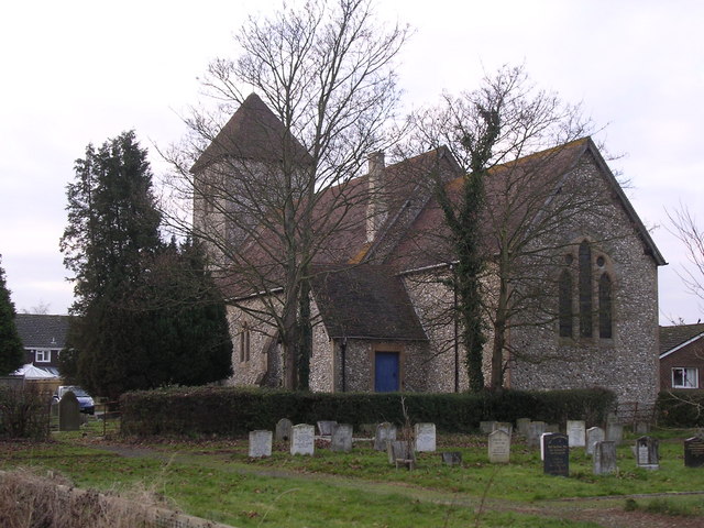
Sheepfield Shaw Images

Images are sourced within 2km of 50.967269/-0.2635621 or Grid Reference TQ2220. Thanks to Geograph Open Source API. All images are credited.

Scene near the south bank of the River Adur This path is often difficult to follow after heavy rain and flooding. There were no such difficulties today.
Scene near the south bank of the River Adur
This path is often difficult to follow after heavy rain and flooding. There were no such difficulties today.
Tree overhanging the river Adur
St Hugh's Charterhouse monastery This place has huge footprint on the OS map, yet I understand that only about 25 monks live here. The spire is visible from miles away on the Downs, yet you could easily drive down the nearby A281 without even spotting it.
St Hugh's Charterhouse monastery
This place has huge footprint on the OS map, yet I understand that only about 25 monks live here. The spire is visible from miles away on the Downs, yet you could easily drive down the nearby A281 without even spotting it.
Looking south on the A281 past footpath crossing See also <a title="https://www.geograph.org.uk/photo/3228295" href="https://www.geograph.org.uk/photo/3228295">Link</a>.
Looking south on the A281 past footpath crossing
See also Link.
Weatherfox on Dragons Lane
Looking west on Dragons Lane Dragons Lane is a public bridleway.
Looking west on Dragons Lane
Dragons Lane is a public bridleway.
Dragons Farm on Dragons Lane See also <a title="https://www.geograph.org.uk/photo/1502257" href="https://www.geograph.org.uk/photo/1502257">Link</a> from 2009.
Dragons Farm on Dragons Lane
See also Link from 2009.
Looking east on Dragons Lane from footpath junction
Footpath passes through corner of field near Crateman's Farm
Signpost at footpath change of direction
Stile on footpath
Stile on footpath
Footbridge on Cowfold Stream A view the other way is at <a title="https://www.geograph.org.uk/photo/252771" href="https://www.geograph.org.uk/photo/252771">Link</a>.
Footbridge on Cowfold Stream
A view the other way is at Link.
Dwelling on footpath See also <a title="https://www.geograph.org.uk/photo/244888" href="https://www.geograph.org.uk/photo/244888">Link</a> from 2006.
Dwelling on footpath
See also Link from 2006.
Garden with pond by footpath Is the cage on the island an aviary or merely ornamental?
Garden with pond by footpath
Is the cage on the island an aviary or merely ornamental?
Footpath through Park Farm
Paddock at Park Farm There is a pony resting in the corner.
Paddock at Park Farm
There is a pony resting in the corner.
Footpath leaves field by kissing gate
Kissing gate where footpath leaves driveway The kissing gate has replaced a stile since <a title="https://www.geograph.org.uk/photo/1901457" href="https://www.geograph.org.uk/photo/1901457">Link</a>.
Kissing gate where footpath leaves driveway
The kissing gate has replaced a stile since Link.
Show me another place!

Sheepfield Shaw is located at Grid Ref: TQ2220 (Lat: 50.967269, Lng: -0.2635621)

Administrative County: West Sussex

District: Horsham

Police Authority: Sussex

What 3 Words

///boards.offer.hardback. Near Cowfold, West Sussex

Related Wikis

St Hugh's Charterhouse

St Hugh's Charterhouse, Parkminster, is the only post-Reformation Carthusian monastery in the United Kingdom. It is located in the parish of Cowfold, West...

Wineham

Wineham is a hamlet mainly in the Shermanbury civil parish (and the same ecclesiastical parish) of the Horsham district of West Sussex, England. It is...

Shermanbury

Shermanbury is a village and civil parish in the Horsham District of West Sussex, England. It lies on the A281 road approximately 2 miles (3 km) north...

Henfield (electoral division)

Henfield is an electoral division of West Sussex in the United Kingdom and returns one member to sit on West Sussex County Council. The current County...

Cowfold

Cowfold is a village and civil parish between Billingshurst and Haywards Heath in the Horsham District of West Sussex, England. The village is at the intersection...

Littleworth, West Sussex

Littleworth is a hamlet in the Horsham District of West Sussex, England. It lies on the Partridge Green to Maplehurst road 2.9 miles (4.7 km) north of...

Dark Star Brewing Company

Dark Star is a brewery in Partridge Green, Sussex, England. == History == Dark Star Brewery was established in 1994, brewing in the cellar of the Evening...

St Michael and All Angels Church, Partridge Green

St Michael and All Angels Church is a late nineteenth-century church in the settlement of Partridge Green in the parish of West Grinstead in West Sussex...

Nearby Amenities

Located within 500m of 50.967269,-0.2635621
Power: pole
Lat/Long: 50.965085/-0.2697603
Power: pole
Lat/Long: 50.965051/-0.2696807
Power: pole
Lat/Long: 50.9657808/-0.2686556
Power: pole
Lat/Long: 50.9659005/-0.2686761
Power: pole
Lat/Long: 50.9669716/-0.267466
Power: pole
Lat/Long: 50.9669684/-0.2673273
Power: pole
Lat/Long: 50.9678276/-0.2663793
Power: pole
Lat/Long: 50.9677774/-0.2662945
Power: pole
Lat/Long: 50.9687288/-0.2651178
Power: pole
Lat/Long: 50.9688177/-0.2651846
Power: pole
Lat/Long: 50.9688744/-0.263733
Power: pole
Lat/Long: 50.9688032/-0.2637433
Power: pole
Lat/Long: 50.9690022/-0.2620913
Power: pole
Lat/Long: 50.9689423/-0.2620887
Power: pole
Lat/Long: 50.9691235/-0.2603057
Power: pole
Lat/Long: 50.9690556/-0.260298
Power: pole
Lat/Long: 50.9692756/-0.2585355
Power: pole
Lat/Long: 50.9691721/-0.2585869
The data included in this document is from www.openstreetmap.org. The data is made available under ODbL.

Have you been to Sheepfield Shaw?

Leave your review of Sheepfield Shaw below (or comments, questions and feedback).