Ash Copse
Wood, Forest in Sussex Horsham
England
Ash Copse
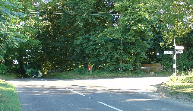
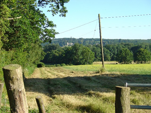
Ash Copse is a picturesque woodland area located in Sussex, England. Covering an area of approximately 30 acres, it is known for its dense population of ash trees, hence the name. The copse is situated in a tranquil and secluded location, offering a peaceful retreat for nature enthusiasts and hikers.
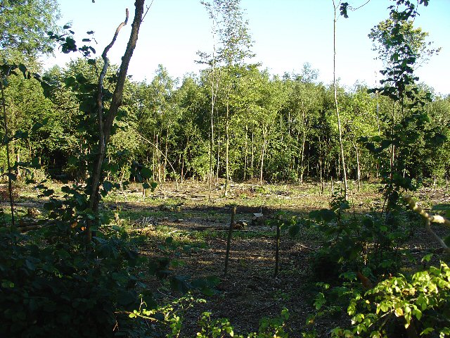
The woodland is characterized by its lush greenery and diverse flora and fauna. The towering ash trees dominate the landscape, creating a dense canopy that filters the sunlight and creates a cool and shaded environment below. The forest floor is covered with a rich carpet of mosses, ferns, and wildflowers, adding to the overall beauty of the copse.
Ash Copse is home to a variety of wildlife, including birds, mammals, and insects. Birdwatchers can spot species such as woodpeckers, thrushes, and owls, while lucky visitors might catch a glimpse of deer, foxes, or badgers. The copse also provides a habitat for a multitude of insects, including butterflies, beetles, and bees.
The woodland is crisscrossed by a network of well-maintained footpaths, allowing visitors to explore the copse at their own pace. There are also designated picnic areas and benches, providing opportunities to rest and enjoy the peaceful surroundings.
Ash Copse is open to the public year-round, and admission is free. It is managed by a local conservation organization, which ensures the preservation and protection of the woodland's natural ecosystem. The copse is a popular destination for nature lovers and families seeking a peaceful escape from the hustle and bustle of everyday life.
If you have any feedback on the listing, please let us know in the comments section below.
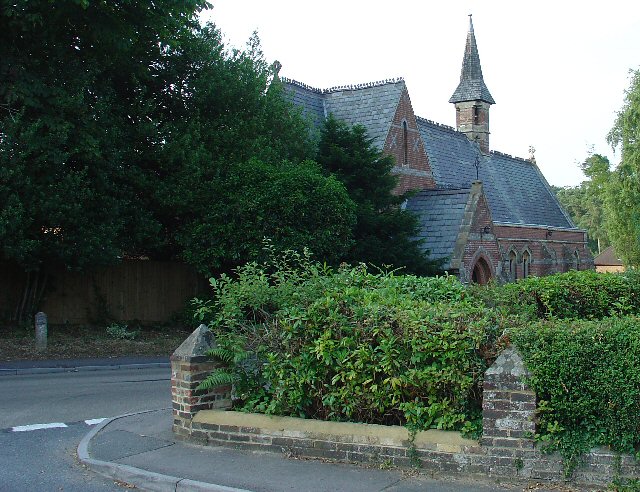
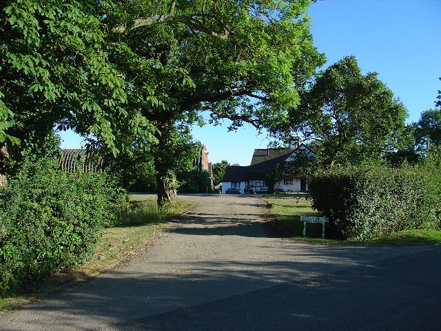
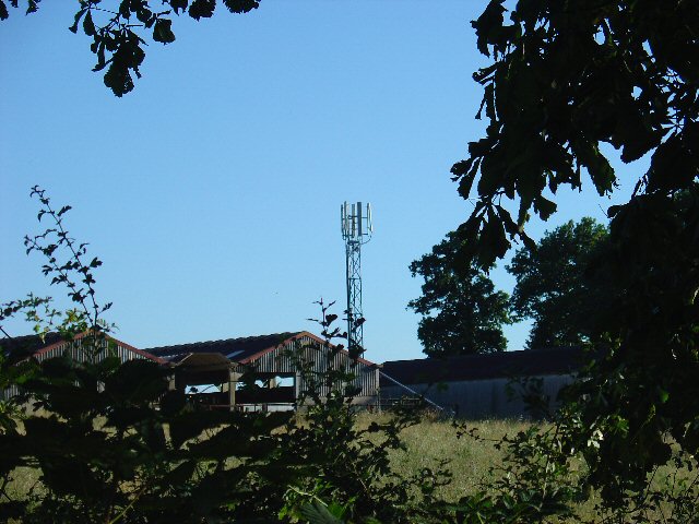
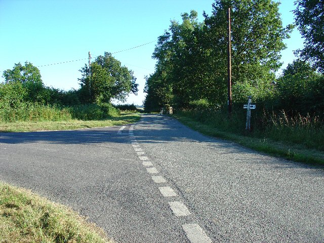
Ash Copse Images
Images are sourced within 2km of 51.094603/-0.25879676 or Grid Reference TQ2234. Thanks to Geograph Open Source API. All images are credited.


Ash Copse is located at Grid Ref: TQ2234 (Lat: 51.094603, Lng: -0.25879676)
Administrative County: West Sussex
District: Horsham
Police Authority: Sussex
What 3 Words
///agents.connects.amplifier. Near Bewbush, West Sussex
Nearby Locations
Related Wikis

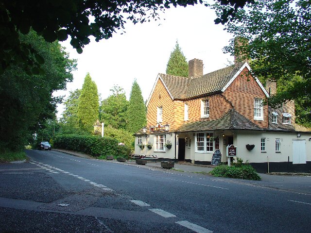
Faygate
Faygate is a village in the Horsham district of West Sussex, England. It lies on the A264 road 3.4 miles (5.4 km) south west of Crawley. It has a railway...

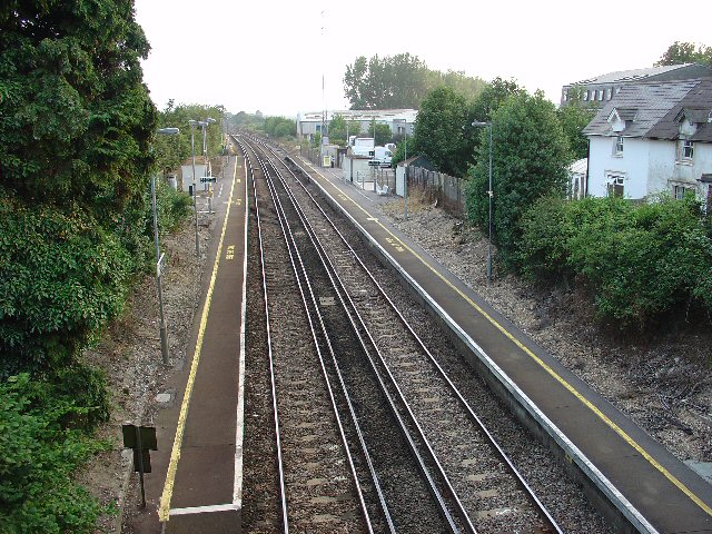
Faygate railway station
Faygate Station is located on the Arun Valley Line, between Littlehaven and Ifield, 34 miles 28 chains (55.3 km) down the line from London Bridge, measured...
Kilnwood Vale
Kilnwood Vale is a village in the Horsham district of West Sussex, England. It borders the High Weald Area of Outstanding Natural Beauty along the A264...

House Copse
House Copse is a 12.5-hectare (31-acre) biological Site of Special Scientific Interest west of Crawley in West Sussex.This ancient wood was formerly managed...

Colgate, West Sussex
Colgate is a small village and civil parish in the Horsham district of West Sussex, England, about four miles (6 km) north east of Horsham. A small village...
Horsham and Crawley (UK Parliament constituency)
Horsham and Crawley was a parliamentary constituency centred on the towns of Horsham and Crawley in West Sussex. It returned one Member of Parliament...
Kilnwood Vale railway station
Kilnwood Vale is a proposed railway station in Kilnwood Vale, Horsham, West Sussex which would serve the neighbourhoods of Kilnwood Vale and Bewbush. The...

Roffey Road Halt railway station
Roffey Road Halt is a now disused station on the Arun Valley Line in West Sussex, England and was the second station north from Horsham on the stretch...
Nearby Amenities
Located within 500m of 51.094603,-0.25879676Have you been to Ash Copse?
Leave your review of Ash Copse below (or comments, questions and feedback).