Jackson's Covert

Wood, Forest in Huntingdonshire Huntingdonshire

England

Jackson's Covert

Barn at Ladyseat Farm With a -2m spot height and close to the Holme Fen posts, this is potentially the lowest farm in the country.
Barn at Ladyseat Farm Credit: Hugh Venables

Jackson's Covert is a picturesque woodland area located in Huntingdonshire, England. Situated in close proximity to the village of Woodhurst, this enchanting forest is a popular destination for nature enthusiasts and outdoor adventurers alike.

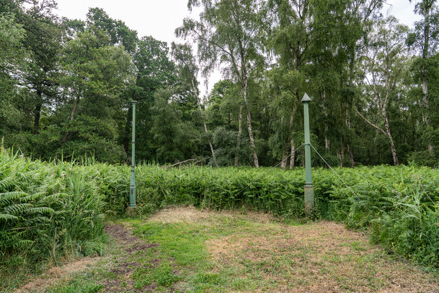
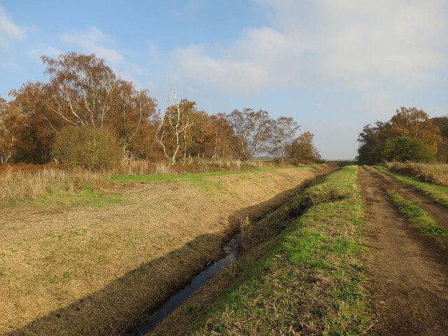
Covering an area of approximately 50 acres, Jackson's Covert boasts a diverse range of flora and fauna, making it an important ecological habitat. The forest is primarily composed of a mixture of deciduous and coniferous trees, including oak, beech, and pine, creating a vibrant and varied landscape throughout the seasons.

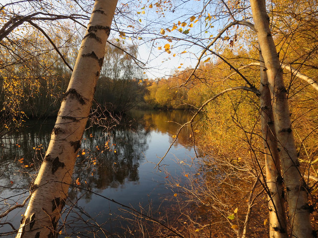
Walking through the woodland, visitors can enjoy a tranquil and peaceful ambiance, as the dense canopy provides shade and seclusion. The forest floor is carpeted with a rich layer of fallen leaves and moss, creating a soft and inviting path for exploration.

The forest is also home to a wide variety of wildlife, including deer, foxes, and a multitude of bird species. Birdwatchers can spot woodpeckers, thrushes, and owls among the branches, while lucky visitors may even catch a glimpse of a rare red kite soaring overhead.

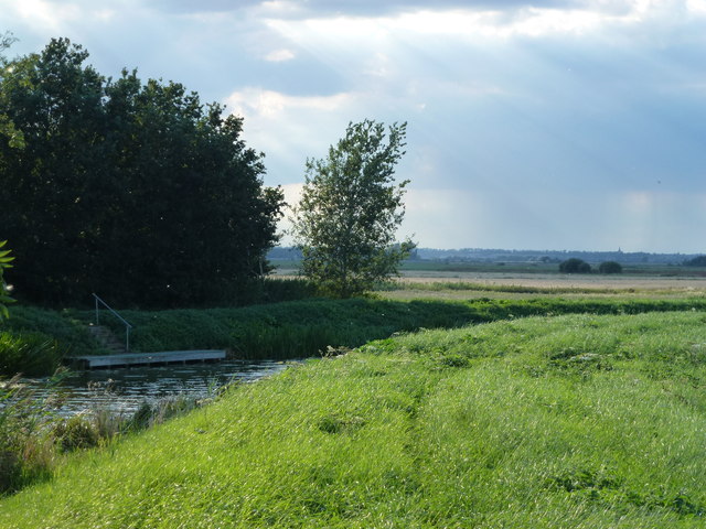
Jackson's Covert offers several well-marked walking trails, allowing visitors to explore the forest at their own pace. These paths wind through the trees, offering glimpses of peaceful clearings, babbling brooks, and hidden ponds. The forest is accessible year-round, making it an ideal destination for a leisurely stroll, a family picnic, or a peaceful retreat from the bustle of everyday life.

Overall, Jackson's Covert is a captivating woodland area that invites visitors to immerse themselves in the beauty and tranquility of nature. Its diverse ecosystem and idyllic setting make it a must-visit destination for anyone seeking solace and serenity amidst the charm of Huntingdonshire.

If you have any feedback on the listing, please let us know in the comments section below.

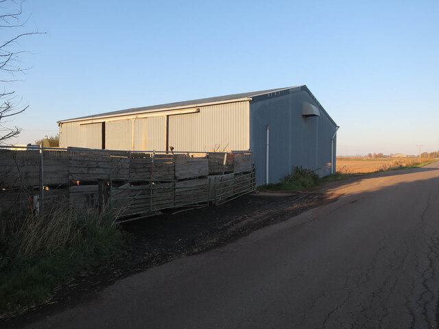
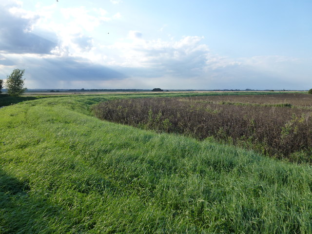
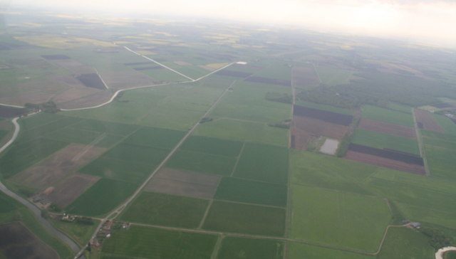
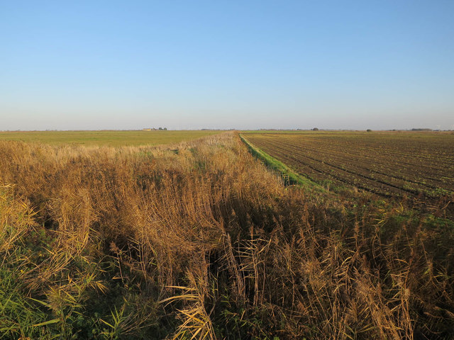
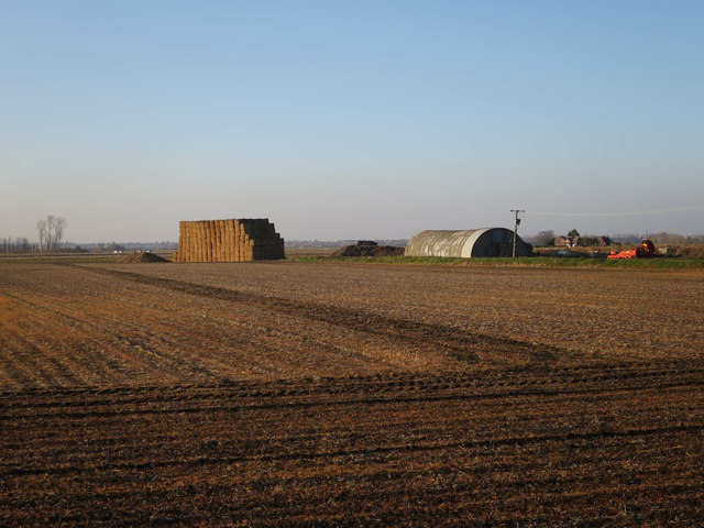
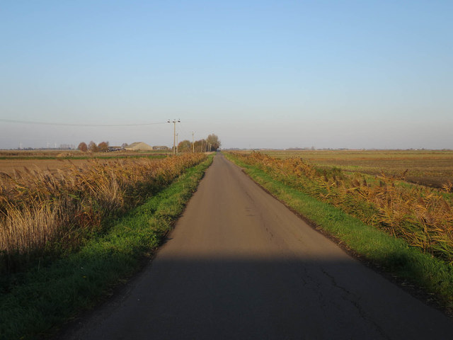
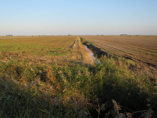
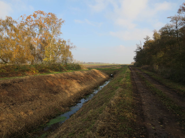
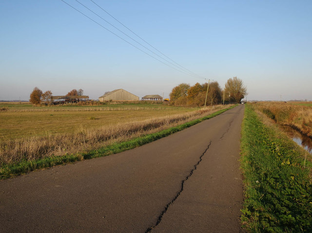
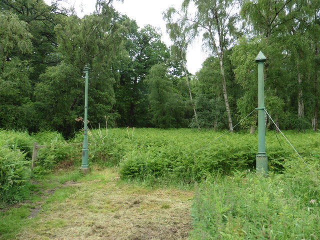
Jackson's Covert Images

Images are sourced within 2km of 52.480473/-0.20626027 or Grid Reference TL2188. Thanks to Geograph Open Source API. All images are credited.

Barn at Ladyseat Farm With a -2m spot height and close to the Holme Fen posts, this is potentially the lowest farm in the country.
Barn at Ladyseat Farm
With a -2m spot height and close to the Holme Fen posts, this is potentially the lowest farm in the country.
Holme Fen Posts Believed to be the lowest land point at nearly -3m below sea level . The posts were used to measure the shrinkage as the water was drained. The tops mark the height the land used to be in 1848. 

<span class="nowrap"><a title="https://www.greatfen.org.uk/about-great-fen/heritage/holme-fen-posts" rel="nofollow ugc noopener" href="https://www.greatfen.org.uk/about-great-fen/heritage/holme-fen-posts">Link</a><img style="margin-left:2px;" alt="External link" title="External link - shift click to open in new window" src="https://s1.geograph.org.uk/img/external.png" width="10" height="10"/></span>
Holme Fen Posts
Believed to be the lowest land point at nearly -3m below sea level . The posts were used to measure the shrinkage as the water was drained. The tops mark the height the land used to be in 1848. LinkExternal link
Bend in the river bank The River Nene (old course) makes a 90 degree turn near Old Decoy Farm to the west of Ramsey St Mary's
Bend in the river bank
The River Nene (old course) makes a 90 degree turn near Old Decoy Farm to the west of Ramsey St Mary's
Mooring at Old Decoy Farm A remote farm on The River Nene (Old course) west of Ramsey St Mary
Mooring at Old Decoy Farm
A remote farm on The River Nene (Old course) west of Ramsey St Mary
From Herne Fen to Holme Common; River Nene (Old Course): aerial 2016 B660 Holme Road runs up the centre, with the River Nene (Old Course) looping around the left of the shot. Stoke's Bridge bottom left.
From Herne Fen to Holme Common; River Nene (Old Course): aerial 2016
B660 Holme Road runs up the centre, with the River Nene (Old Course) looping around the left of the shot. Stoke's Bridge bottom left.
River Nene (Old Course), Holme Common: aerial 2016 River Nene (Old Course) running across the shot.
River Nene (Old Course), Holme Common: aerial 2016
River Nene (Old Course) running across the shot.
Cattle on Great Fen Great Fen is slowly being returned to its original fenland state. This was formerly arable land.
Cattle on Great Fen
Great Fen is slowly being returned to its original fenland state. This was formerly arable land.
New ditch by Holme Fen Part of the Great Fen works converting land around Holme Fen to grazing and wetland.
New ditch by Holme Fen
Part of the Great Fen works converting land around Holme Fen to grazing and wetland.
Path, New Decoy Farm Heading towards Holme Fen.
Path, New Decoy Farm
Heading towards Holme Fen.
Track to Holme Fen Holme Fen is a mostly birch woodland.
Track to Holme Fen
Holme Fen is a mostly birch woodland.
Pond in Jackson's Covert, Holme Fen
Ditch off New Long Drove
Nissen Hut off New Long Drove
New Long Drove
New Long Drove
Ditch near Ladyseat Farm
Ditch by Railway Covert
New Long Drove towards Tower Farm
Holme Fen Posts Mark the lowest point in the UK.
Holme Fen Posts
Mark the lowest point in the UK.
Show me another place!

Jackson's Covert is located at Grid Ref: TL2188 (Lat: 52.480473, Lng: -0.20626027)

Administrative County: Cambridgeshire

District: Huntingdonshire

Police Authority: Cambridgeshire

What 3 Words

///rent.reverses.another. Near Stilton, Cambridgeshire

Related Wikis

Holme Fen

Holme Fen is a 269.4-hectare (666-acre) biological Site of Special Scientific Interest near Holme in Cambridgeshire. It is also a National Nature Reserve...

Great Fen

The Great Fen is a habitat restoration project being undertaken on The Fens in the county of Cambridgeshire in England. It is one of the largest restoration...

The Fens

The Fens or Fenlands in eastern England are a naturally marshy region supporting a rich ecology and numerous species. Most of the fens were drained centuries...

Whittlesey Mere

Whittlesea Mere was an area of open water in the Fenland area of the county of Huntingdonshire (now Cambridgeshire), England. The mere occupied the land...

Nearby Amenities

Located within 500m of 52.480473,-0.20626027
Hunting Stand
Lat/Long: 52.4793272/-0.2091748
The data included in this document is from www.openstreetmap.org. The data is made available under ODbL.

Have you been to Jackson's Covert?

Leave your review of Jackson's Covert below (or comments, questions and feedback).