Cangsley Grove

Wood, Forest in Hertfordshire Welwyn Hatfield

England

Cangsley Grove

On the clockwise M25 one mile from junction 23
On the clockwise M25 one mile from junction 23 Credit: Rob Purvis

Cangsley Grove is a charming woodland area located in Hertfordshire, England. It is situated in the county's eastern region, near the town of Ware. This beautiful area is known for its dense forest and tranquil environment, making it a popular destination for nature enthusiasts and outdoor lovers.

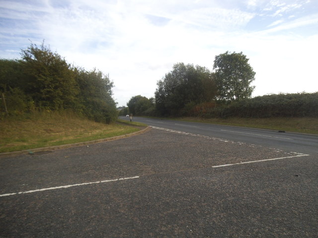
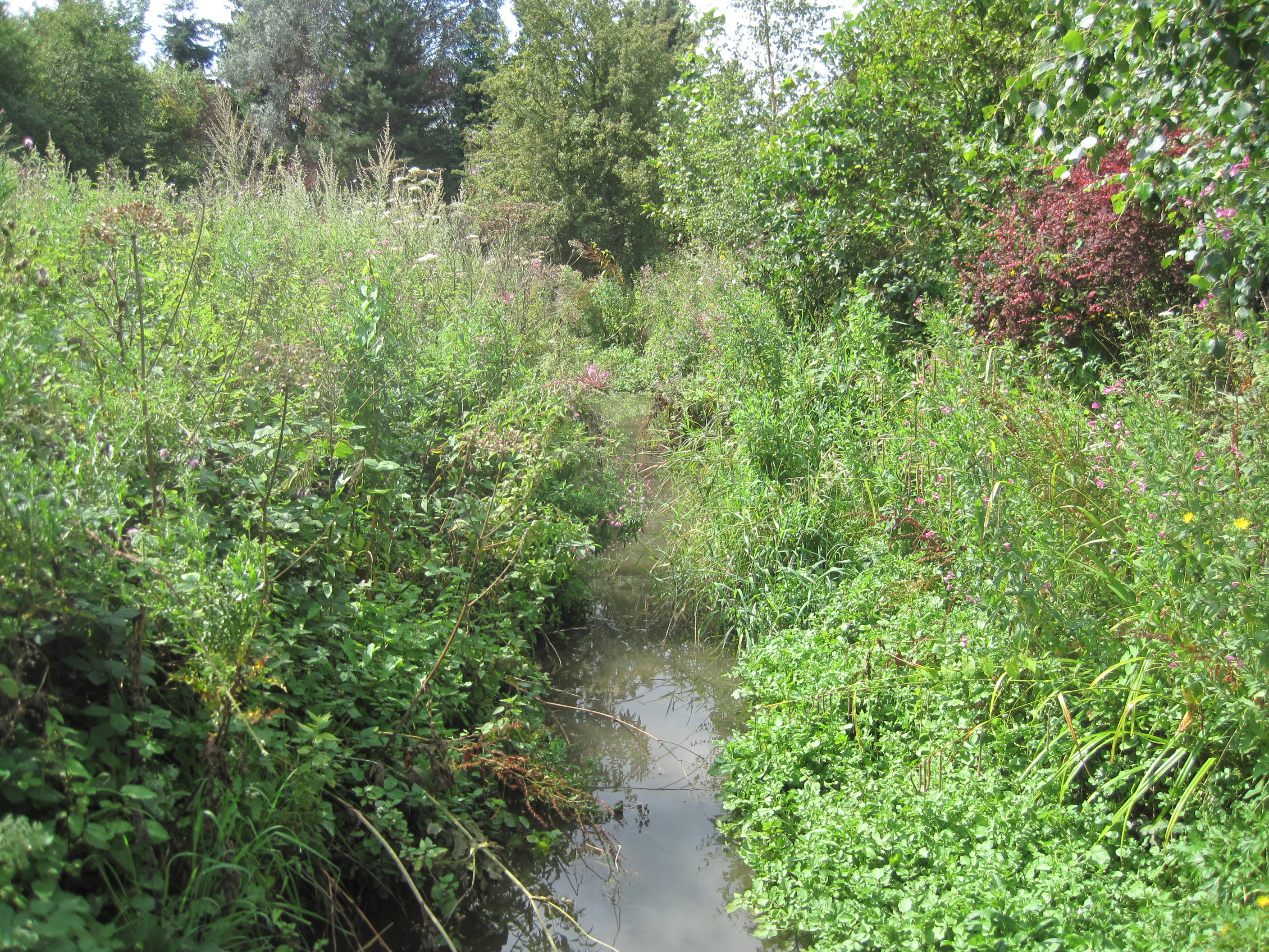
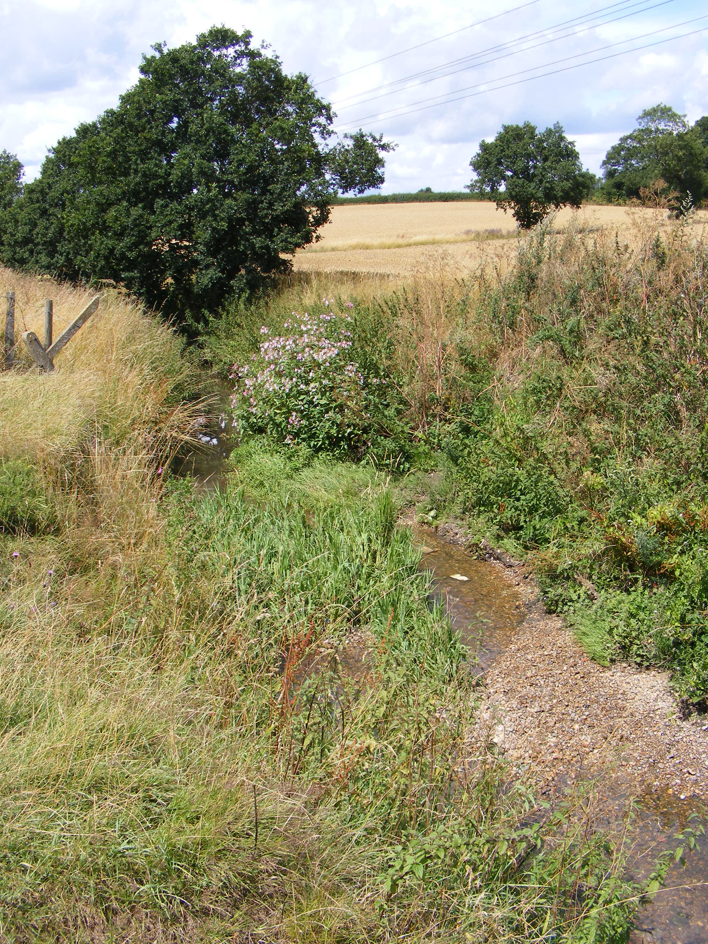
Covering an area of approximately 50 hectares, Cangsley Grove is a part of the larger Lea Valley Park, which stretches along the River Lea. The grove is predominantly composed of a mixture of broadleaf trees, including oak, beech, and birch, creating a picturesque and diverse woodland landscape.

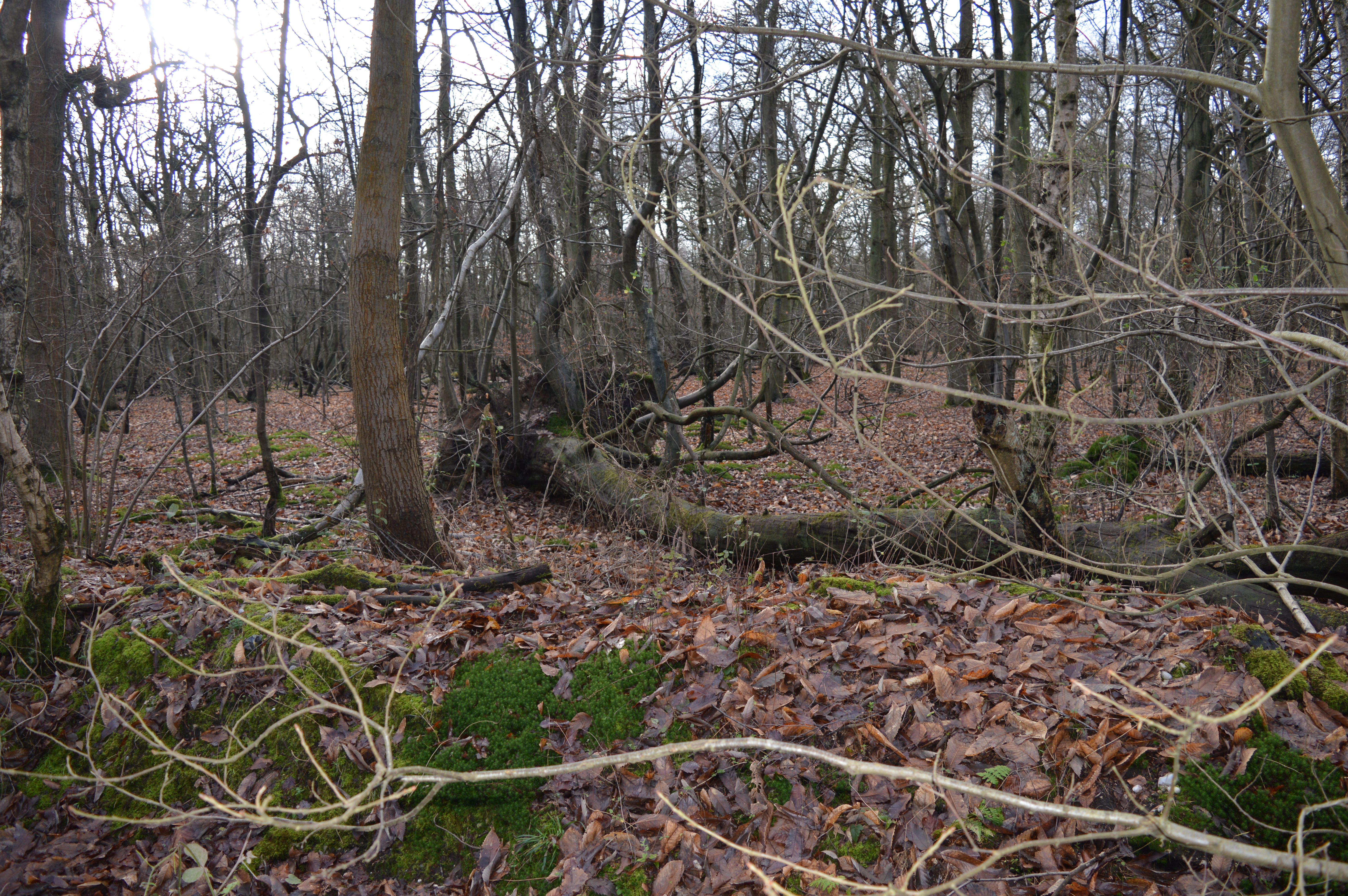
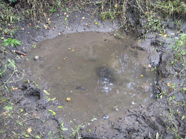
The forest floor of Cangsley Grove is covered in a thick carpet of moss, ferns, and wildflowers, providing a rich habitat for various species of flora and fauna. Visitors can expect to encounter a wide range of wildlife, such as deer, foxes, badgers, and a variety of bird species, including woodpeckers and owls.

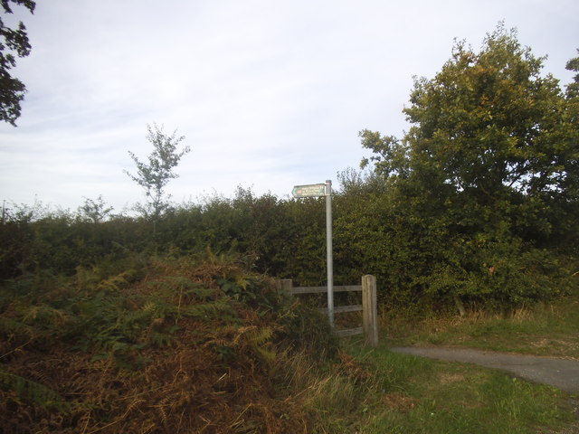
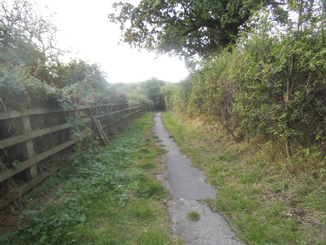
The grove offers several well-maintained walking trails, allowing visitors to explore the area at their own pace. These trails wind through the forest, providing stunning views of the surrounding woodlands and the nearby River Lea.

Cangsley Grove is not only a haven for nature lovers but also a popular spot for recreational activities. Visitors can enjoy picnicking, cycling, and horse riding in designated areas, making it an ideal destination for a day out with family and friends.

Overall, Cangsley Grove in Hertfordshire is a peaceful and idyllic woodland area, offering a wonderful escape from the hustle and bustle of daily life.

If you have any feedback on the listing, please let us know in the comments section below.

Cangsley Grove Images

Images are sourced within 2km of 51.716888/-0.23663483 or Grid Reference TL2103. Thanks to Geograph Open Source API. All images are credited.

On the clockwise M25 one mile from junction 23
Footbridge, A1(M) The A1 is the longest numbered road in the UK at 410 miles long. It connects London with Edinburgh, via the east of England. 
For much of its path it follows the Great North Road the old coaching route between London and Edinburgh. Several sections of the route are classified as motorway A1(M). The modern A1 bypasses the towns the Great North Road passed through and is dual carriageway for most of its route through England.
Footbridge, A1(M)
The A1 is the longest numbered road in the UK at 410 miles long. It connects London with Edinburgh, via the east of England. For much of its path it follows the Great North Road the old coaching route between London and Edinburgh. Several sections of the route are classified as motorway A1(M). The modern A1 bypasses the towns the Great North Road passed through and is dual carriageway for most of its route through England.
A1(M), north The A1 is the longest numbered road in the UK at 410 miles long. It connects London with Edinburgh, via the east of England. 
For much of its path it follows the Great North Road the old coaching route between London and Edinburgh. Several sections of the route are classified as motorway A1(M). The modern A1 bypasses the towns the Great North Road passed through and is dual carriageway for most of its route through England.
A1(M), north
The A1 is the longest numbered road in the UK at 410 miles long. It connects London with Edinburgh, via the east of England. For much of its path it follows the Great North Road the old coaching route between London and Edinburgh. Several sections of the route are classified as motorway A1(M). The modern A1 bypasses the towns the Great North Road passed through and is dual carriageway for most of its route through England.
A1(M), North Mymms The A1 is the longest numbered road in the UK at 410 miles long. It connects London with Edinburgh, via the east of England. 
For much of its path it follows the Great North Road the old coaching route between London and Edinburgh. Several sections of the route are classified as motorway A1(M). The modern A1 bypasses the towns the Great North Road passed through and is dual carriageway for most of its route through England.
A1(M), North Mymms
The A1 is the longest numbered road in the UK at 410 miles long. It connects London with Edinburgh, via the east of England. For much of its path it follows the Great North Road the old coaching route between London and Edinburgh. Several sections of the route are classified as motorway A1(M). The modern A1 bypasses the towns the Great North Road passed through and is dual carriageway for most of its route through England.
Footbridge, A1(M) The A1 is the longest numbered road in the UK at 410 miles long. It connects London with Edinburgh, via the east of England. 
For much of its path it follows the Great North Road the old coaching route between London and Edinburgh. Several sections of the route are classified as motorway A1(M). The modern A1 bypasses the towns the Great North Road passed through and is dual carriageway for most of its route through England.
Footbridge, A1(M)
The A1 is the longest numbered road in the UK at 410 miles long. It connects London with Edinburgh, via the east of England. For much of its path it follows the Great North Road the old coaching route between London and Edinburgh. Several sections of the route are classified as motorway A1(M). The modern A1 bypasses the towns the Great North Road passed through and is dual carriageway for most of its route through England.
RSPCA Southridge Animal Centre, Packhorse Lane, Potters Bar
Blackhorse Lane, South Mimms
Blackhorse Lane at the junction of St Albans Road
Path entrance on Blackhorse Lane, South Mimms
Path from Blackhorse Lane, South Mimms
The entrance to Woodhill Farm, South Mimms
Swanland Road, Water End
Tree on Swanland Road, Water End
Hawkshead Lane, Water End The sign and village name imply it's part of a floodplain.
Hawkshead Lane, Water End
The sign and village name imply it's part of a floodplain.
Swanland Road, Water End
Bradmore Lane, Water End
Show me another place!

Cangsley Grove is located at Grid Ref: TL2103 (Lat: 51.716888, Lng: -0.23663483)

Administrative County: Hertfordshire

District: Welwyn Hatfield

Police Authority: Hertfordshire

What 3 Words

///branch.drank.fend. Near Shenley, Hertfordshire

Related Wikis

North Mymms

North Mymms is a civil parish in the English county of Hertfordshire. At the 2011 Census the civil parish had a population of 8,921.The village itself...

Redwell Wood

Redwell Wood is a 52.8-hectare (130-acre) biological Site of Special Scientific Interest near South Mimms in Hertfordshire. The local planning authority...

Castle Lime Works Quarry

Castle Lime Works Quarry is a 1.6 hectares (4.0 acres) geological Site of Special Scientific Interest near South Mimms in Hertfordshire. The site was notified...

Water End Swallow Holes

Water End Swallow Holes is a biological site of Special Scientific Interest in Hertfordshire, south-east England. Located in Welham Green and under the...

Mimmshall Brook

Mimmshall Brook is a 9.8 kilometres (6.1 mi) long stream (brook) in Greater London and Hertfordshire, England. Rising from two sources—one in Hertsmere...

Potters Bar Brook

Potters Bar Brook is a 3.3 km (2.0 mi) long stream (brook) in Hertfordshire, England, that is a tributary to the Mimmshall Brook.Rising in the town of...

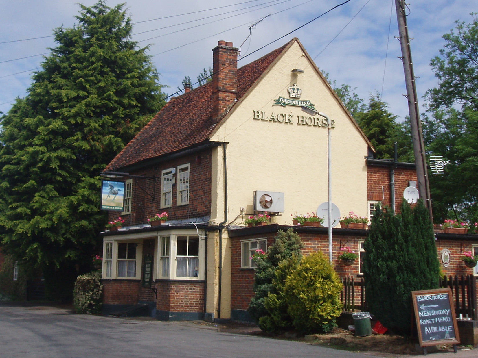
Black Horse, South Mimms

The Black Horse is a Grade II listed public house on Blackhorse Lane in South Mimms, Hertfordshire, England. == History == The pub can be dated to the...

Queen Mother Hospital for Animals

The Queen Mother Hospital for Animals (QMHA) is a teaching hospital located near Potters Bar, Hertfordshire. More than 100 veterinary nurses work alongside...

Nearby Amenities

Located within 500m of 51.716888,-0.23663483
Barrier: kissing_gate
Lat/Long: 51.7138182/-0.2400248
Barrier: kissing_gate
Lat/Long: 51.7138108/-0.2399171
Barrier: kissing_gate
Lat/Long: 51.714317/-0.2381907
Barrier: kissing_gate
Lat/Long: 51.714303/-0.2370518
The data included in this document is from www.openstreetmap.org. The data is made available under ODbL.

Have you been to Cangsley Grove?

Leave your review of Cangsley Grove below (or comments, questions and feedback).