Bobs Wood
Wood, Forest in Huntingdonshire Huntingdonshire
England
Bobs Wood
The requested URL returned error: 429 Too Many Requests
If you have any feedback on the listing, please let us know in the comments section below.
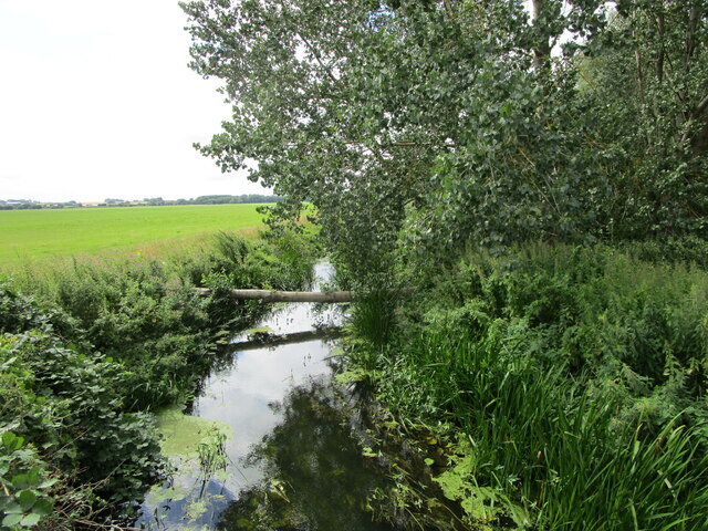
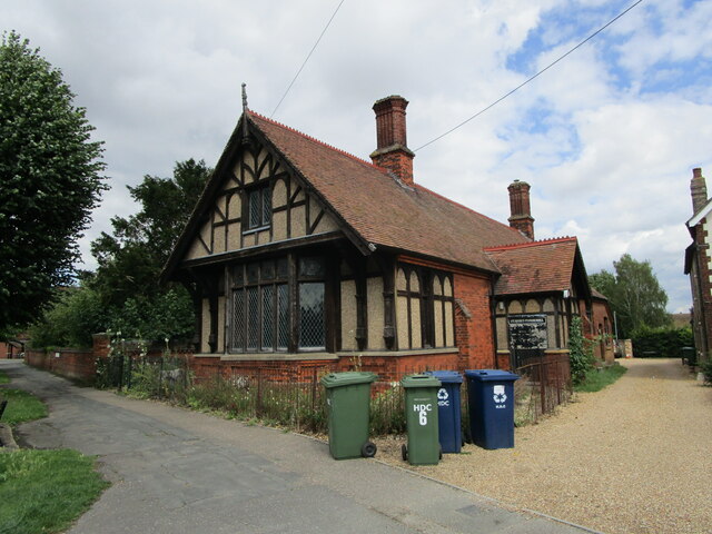
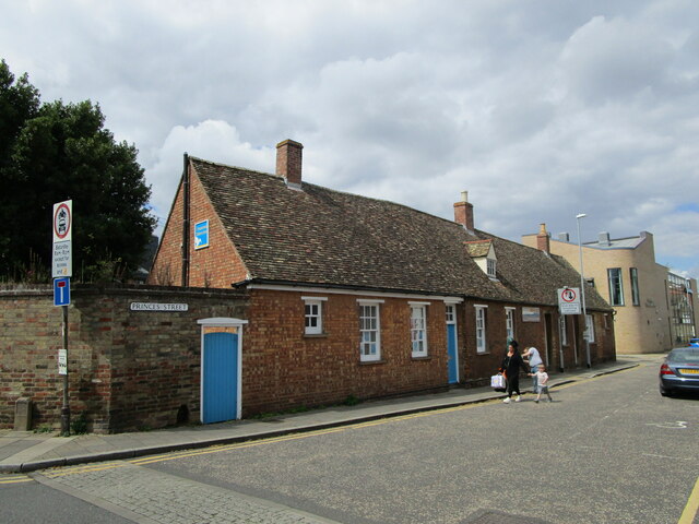
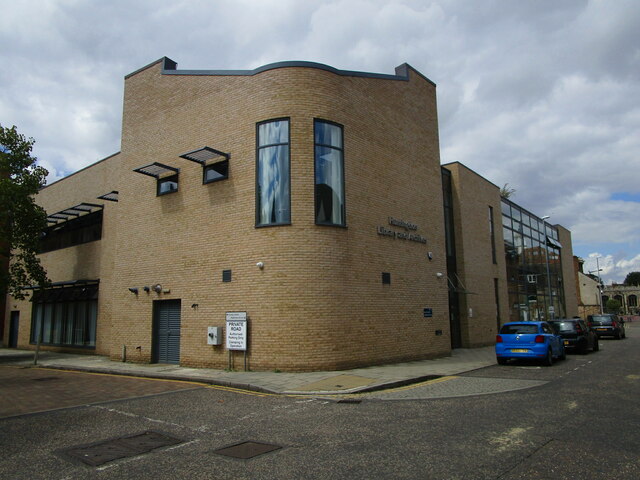
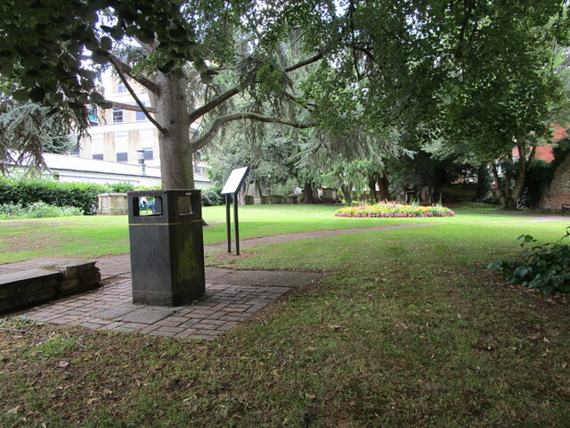
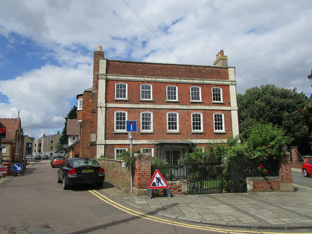
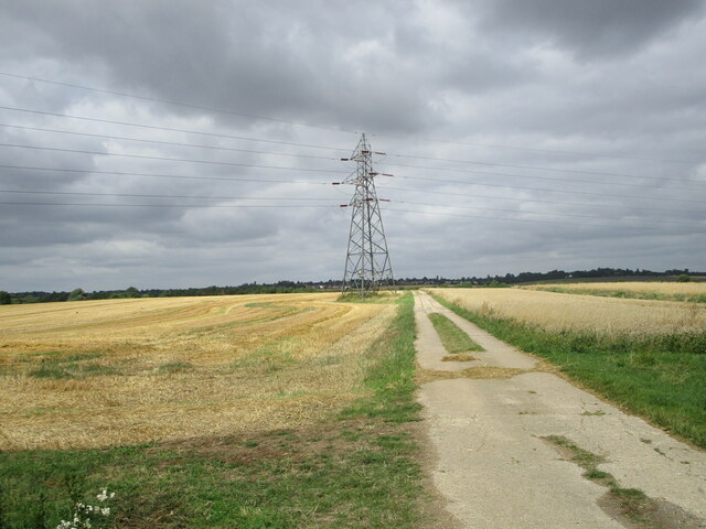
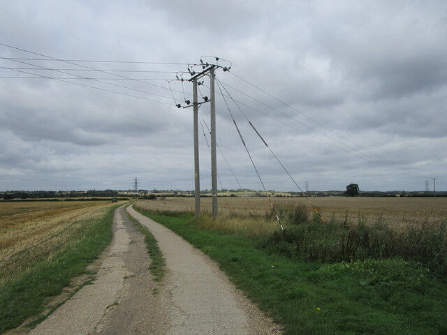
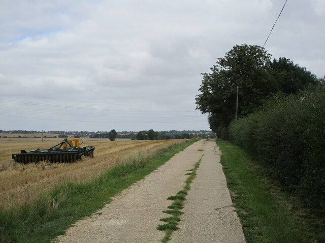
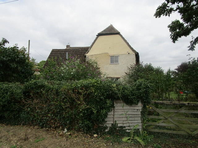
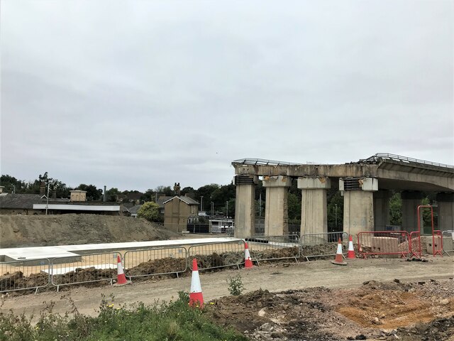
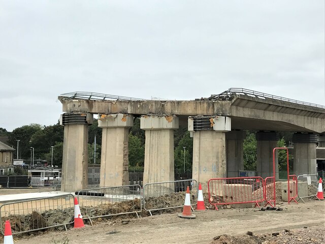
Bobs Wood Images
Images are sourced within 2km of 52.33188/-0.21248359 or Grid Reference TL2171. Thanks to Geograph Open Source API. All images are credited.
Bobs Wood is located at Grid Ref: TL2171 (Lat: 52.33188, Lng: -0.21248359)
Administrative County: Cambridgeshire
District: Huntingdonshire
Police Authority: Cambridgeshire
What 3 Words
///forks.dockers.round. Near Brampton, Cambridgeshire
Nearby Locations
Related Wikis

Hinchingbrooke Hospital
Hinchingbrooke Hospital is a small district general hospital in Hinchingbrooke near Huntingdon, Cambridgeshire. Opened in 1983, it serves the Huntingdonshire...
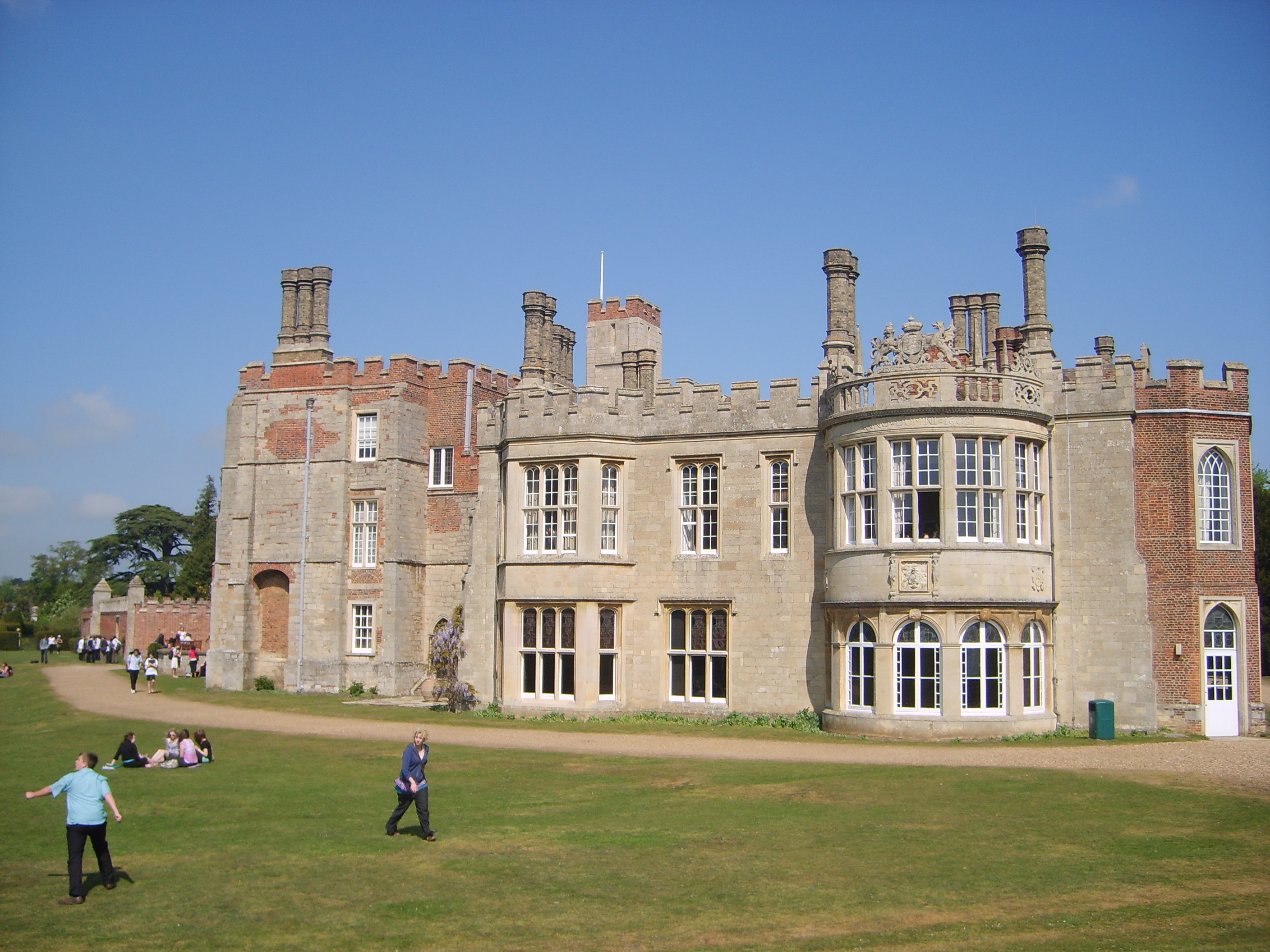
Hinchingbrooke House
Hinchingbrooke House is an English stately home in Huntingdon, Cambridgeshire, now part of Hinchingbrooke School. The house was built around an 11th-century...

Hinchingbrooke School
Hinchingbrooke School is a large secondary school situated on the outskirts of Huntingdon in Cambridgeshire, historically in Huntingdonshire. Originally...
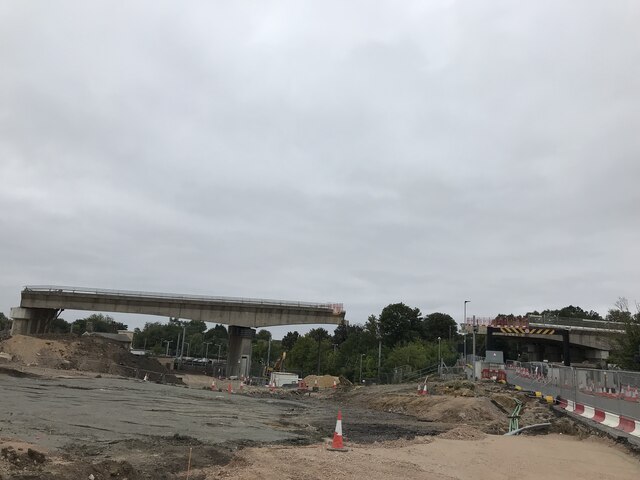
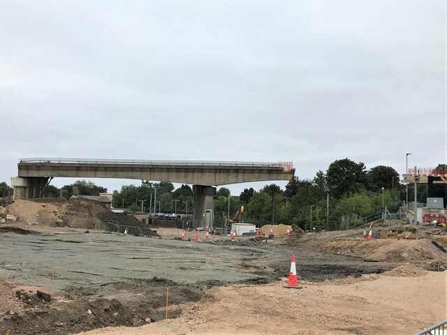
Spittals Interchange
Spittals Interchange is the roundabout on the junction between the A141 and A1307 north of Huntingdon, England. The junction is unusual in that pre 2020...
Nearby Amenities
Located within 500m of 52.33188,-0.21248359Have you been to Bobs Wood?
Leave your review of Bobs Wood below (or comments, questions and feedback).