Maud Hole Covert

Wood, Forest in Lincolnshire

England

Maud Hole Covert

Earthworks in field at Healing: aerial 2022
Earthworks in field at Healing: aerial 2022 Credit: Simon Tomson

The requested URL returned error: 429 Too Many Requests

If you have any feedback on the listing, please let us know in the comments section below.

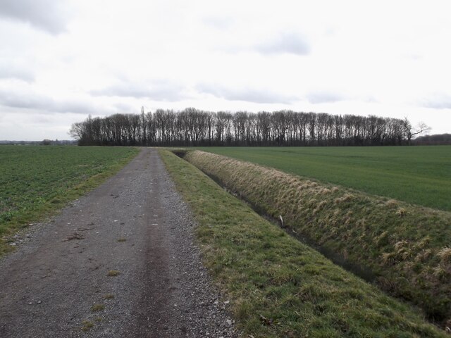
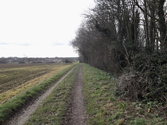
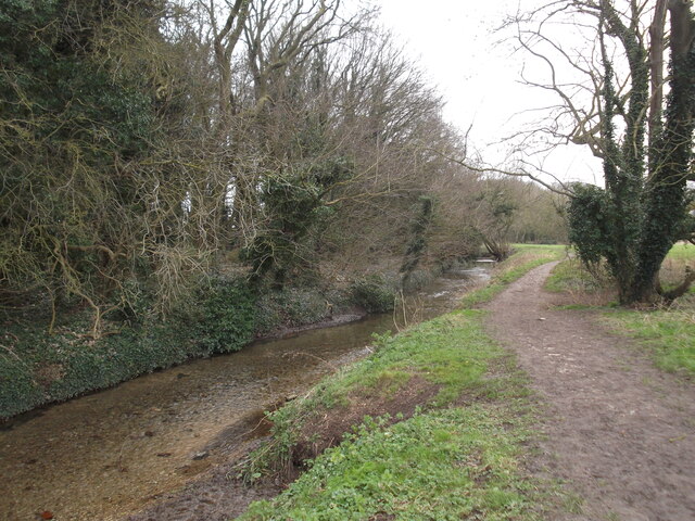
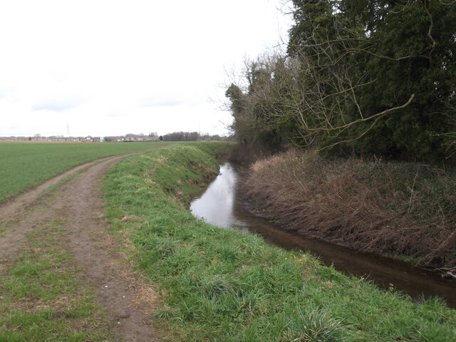
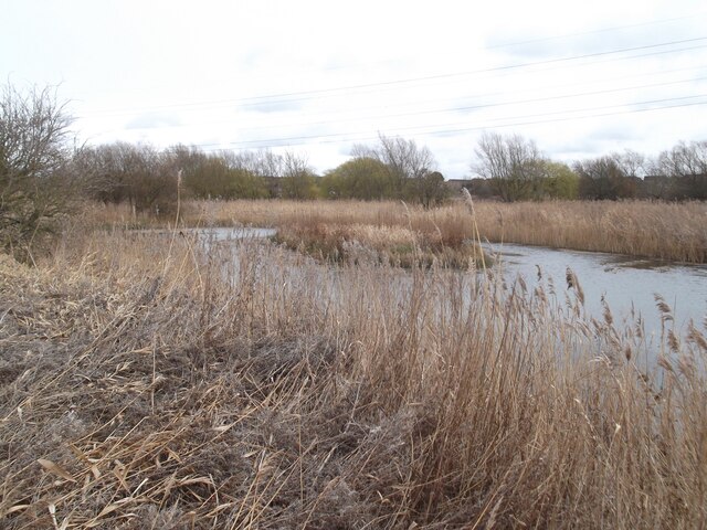
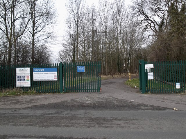
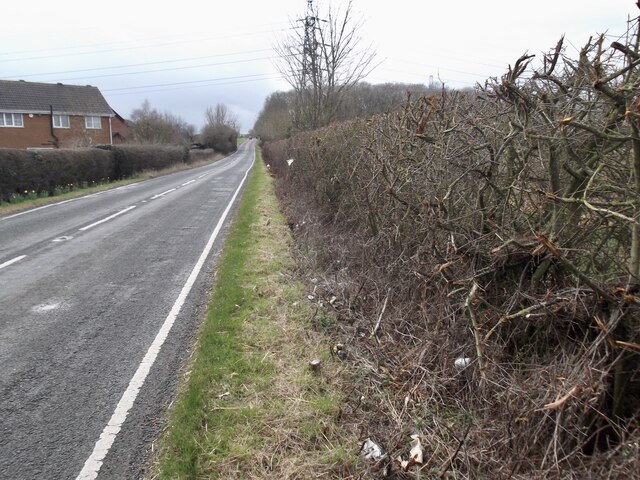
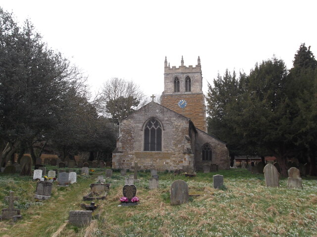
Maud Hole Covert Images

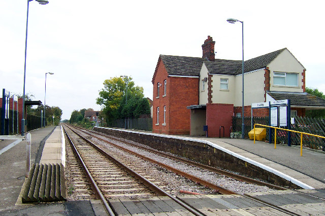
Images are sourced within 2km of 53.565548/-0.1608972 or Grid Reference TA2109. Thanks to Geograph Open Source API. All images are credited.

Earthworks in field at Healing: aerial 2022
Station Road in Healing
Footbridge and path near Great Coates
Footpath by the railway
Healing Station A Trans-Pennine train going west. A rarity at the present time given the state of the franchise.
Healing Station
A Trans-Pennine train going west. A rarity at the present time given the state of the franchise.
Footbridge and path near Healing
A small wood by the Aylesby path
Aylesby Lane
Aylesby Lane
Laceby Beck
Laceby Beck
Laceby Beck
Laceby Beck
Pond near Laceby Acres
Entrance to electricity sub-station
Road past Wybers Wood Recent savage cutting of the hedge has exposed a mass of rubbish.
Road past Wybers Wood
Recent savage cutting of the hedge has exposed a mass of rubbish.
St Nicholas Church, Great Coates
Healing Church Church of Ss. Peter & Paul, Healing, North East Lincolnshire.
Healing Church
Church of Ss. Peter & Paul, Healing, North East Lincolnshire.
Healing Station Picture taken from the level crossing looking approx. SE towards Grimsby.
Healing Station
Picture taken from the level crossing looking approx. SE towards Grimsby.
Healing Post Office Healing Post Office, Healing, North East Lincolnshire.
Healing Post Office
Healing Post Office, Healing, North East Lincolnshire.
Near Healing Station Picture taken from the level crossing at Healing Station looking North.
Near Healing Station
Picture taken from the level crossing at Healing Station looking North.
Show me another place!

Maud Hole Covert is located at Grid Ref: TA2109 (Lat: 53.565548, Lng: -0.1608972)

Unitary Authority: North East Lincolnshire

Police Authority: Humberside

What 3 Words

///worldwide.glows.fled. Near Great Coates, Lincolnshire

Nearby Locations

Maud Hole Covert

Related Wikis

Healing, Lincolnshire

Healing is a village and civil parish in North East Lincolnshire, England. It is situated between Stallingborough and Great Coates, and 3 miles (5 km)...

Healing School

Healing School, A Science Academy is a co-educational secondary school and specialist academy located on Low Road in the village of Healing, North East...

Great Coates

Great Coates is a village and civil parish in North East Lincolnshire, England. It is to the north-west and adjoins the Grimsby urban area, and is served...

Healing railway station

Healing railway station serves the village of Healing in North East Lincolnshire, England. It was opened on 1 April 1881 by the Manchester, Sheffield and...

Nearby Amenities

Located within 500m of 53.565548,-0.1608972
Normans Dene
Place: neighbourhood
Source: Bing
Lat/Long: 53.5700398/-0.1604575
The data included in this document is from www.openstreetmap.org. The data is made available under ODbL.

Have you been to Maud Hole Covert?

Leave your review of Maud Hole Covert below (or comments, questions and feedback).