Holme

Civil Parish in Huntingdonshire Huntingdonshire

England

Holme

Barn at Ladyseat Farm With a -2m spot height and close to the Holme Fen posts, this is potentially the lowest farm in the country.
Barn at Ladyseat Farm Credit: Hugh Venables

Holme is a civil parish located in the district of Huntingdonshire, in the county of Cambridgeshire, England. It is situated approximately 5 miles south-west of the town of Peterborough and lies on the north bank of the River Nene. The parish covers an area of around 4 square miles and is home to a population of approximately 1,500 residents.

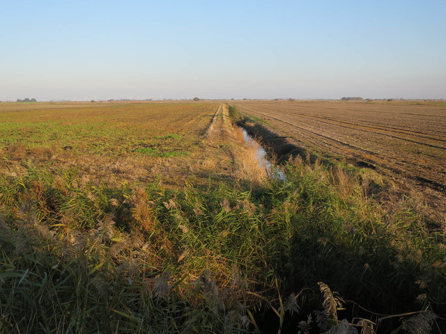
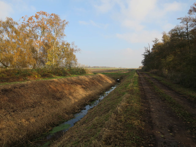
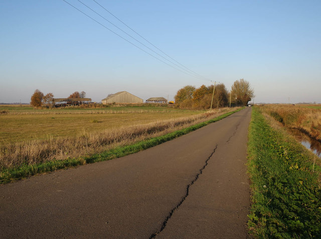
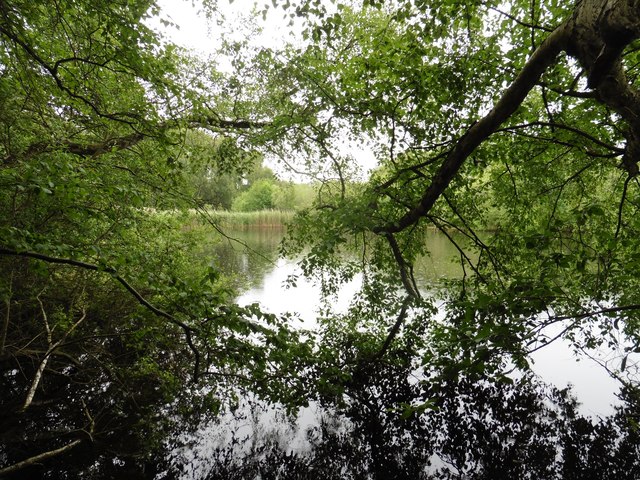
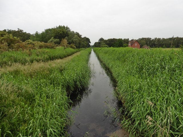
Holme is a rural village that enjoys a peaceful and picturesque setting. The landscape is characterized by gently rolling hills, open fields, and meandering waterways. The River Nene, which flows through the parish, provides opportunities for boating, fishing, and leisurely walks along its banks.

The village itself features a mix of traditional and modern architecture, with some buildings dating back to the 17th century. The Holy Trinity Church, a Grade II listed building, is a notable landmark in the area. The village also has a primary school, a village hall, and a local pub, which serves as a popular gathering place for residents.

Holme offers a range of amenities and services to its residents, including shops, a post office, and a medical center. The village has good transport links, with easy access to major roads and nearby railway stations.

Overall, Holme is a charming and close-knit community that provides a tranquil and idyllic countryside living experience. Its beautiful surroundings, coupled with its convenient location, make it an attractive place to reside for those seeking a rural lifestyle within easy reach of urban amenities.

If you have any feedback on the listing, please let us know in the comments section below.
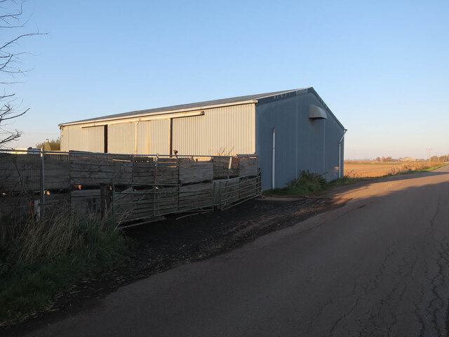
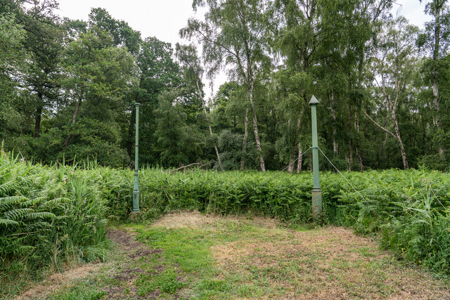
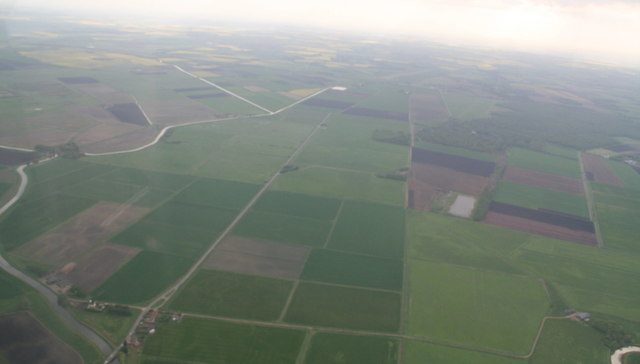
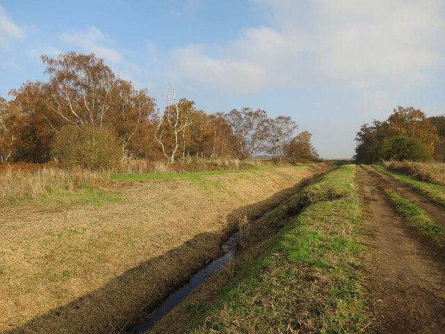
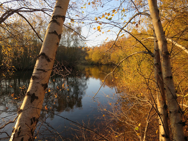
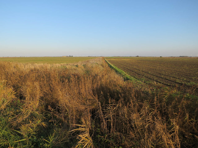
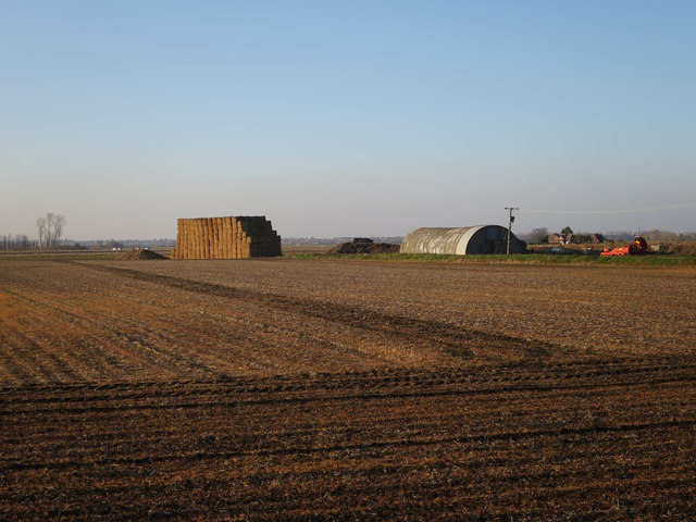
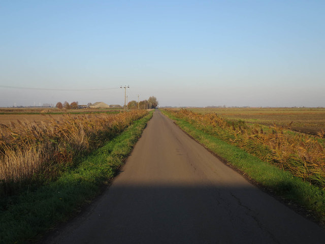
Holme Images

Images are sourced within 2km of 52.48381/-0.209118 or Grid Reference TL2188. Thanks to Geograph Open Source API. All images are credited.

Barn at Ladyseat Farm With a -2m spot height and close to the Holme Fen posts, this is potentially the lowest farm in the country.
Barn at Ladyseat Farm
With a -2m spot height and close to the Holme Fen posts, this is potentially the lowest farm in the country.
Holme Fen Posts Believed to be the lowest land point at nearly -3m below sea level . The posts were used to measure the shrinkage as the water was drained. The tops mark the height the land used to be in 1848. 

<span class="nowrap"><a title="https://www.greatfen.org.uk/about-great-fen/heritage/holme-fen-posts" rel="nofollow ugc noopener" href="https://www.greatfen.org.uk/about-great-fen/heritage/holme-fen-posts">Link</a><img style="margin-left:2px;" alt="External link" title="External link - shift click to open in new window" src="https://s1.geograph.org.uk/img/external.png" width="10" height="10"/></span>
Holme Fen Posts
Believed to be the lowest land point at nearly -3m below sea level . The posts were used to measure the shrinkage as the water was drained. The tops mark the height the land used to be in 1848. LinkExternal link
From Herne Fen to Holme Common; River Nene (Old Course): aerial 2016 B660 Holme Road runs up the centre, with the River Nene (Old Course) looping around the left of the shot. Stoke's Bridge bottom left.
From Herne Fen to Holme Common; River Nene (Old Course): aerial 2016
B660 Holme Road runs up the centre, with the River Nene (Old Course) looping around the left of the shot. Stoke's Bridge bottom left.
River Nene (Old Course), Holme Common: aerial 2016 River Nene (Old Course) running across the shot.
River Nene (Old Course), Holme Common: aerial 2016
River Nene (Old Course) running across the shot.
Cattle on Great Fen Great Fen is slowly being returned to its original fenland state. This was formerly arable land.
Cattle on Great Fen
Great Fen is slowly being returned to its original fenland state. This was formerly arable land.
New ditch by Holme Fen Part of the Great Fen works converting land around Holme Fen to grazing and wetland.
New ditch by Holme Fen
Part of the Great Fen works converting land around Holme Fen to grazing and wetland.
Path, New Decoy Farm Heading towards Holme Fen.
Path, New Decoy Farm
Heading towards Holme Fen.
Track to Holme Fen Holme Fen is a mostly birch woodland.
Track to Holme Fen
Holme Fen is a mostly birch woodland.
Pond in Jackson's Covert, Holme Fen
Ditch off New Long Drove
Nissen Hut off New Long Drove
New Long Drove
New Long Drove
Ditch near Ladyseat Farm
Ditch by Railway Covert
New Long Drove towards Tower Farm
Holme Fen Posts Mark the lowest point in the UK.
Holme Fen Posts
Mark the lowest point in the UK.
A glimpse of the water at Caldecote Fen
Holme Fen Edge Drain
Show me another place!

Holme is located at Grid Ref: TL2188 (Lat: 52.48381, Lng: -0.209118)

Administrative County: Cambridgeshire

District: Huntingdonshire

Police Authority: Cambridgeshire

What 3 Words

///match.greet.translate. Near Yaxley, Cambridgeshire

Related Wikis

Holme Fen

Holme Fen is a 269.4-hectare (666-acre) biological Site of Special Scientific Interest near Holme in Cambridgeshire. It is also a National Nature Reserve...

The Fens

The Fens or Fenlands in eastern England are a naturally marshy region supporting a rich ecology and numerous species. Most of the fens were drained centuries...

Whittlesey Mere

Whittlesea Mere was an area of open water in the Fenland area of the county of Huntingdonshire (now Cambridgeshire), England. The mere occupied the land...

Great Fen

The Great Fen is a habitat restoration project being undertaken on The Fens in the county of Cambridgeshire in England. It is one of the largest restoration...

Nearby Amenities

Located within 500m of 52.48381,-0.209118
Hunting Stand
Lat/Long: 52.4793272/-0.2091748
Parking
Fee: no
Park Ride: no
Parking: layby
Supervised: no
Lat/Long: 52.4817122/-0.2134612
Parking
Parking: layby
Surface: asphalt
Lat/Long: 52.4811077/-0.2138918
The data included in this document is from www.openstreetmap.org. The data is made available under ODbL.

Have you been to Holme?

Leave your review of Holme below (or comments, questions and feedback).