Broadlane Rough
Wood, Forest in Surrey Mole Valley
England
Broadlane Rough
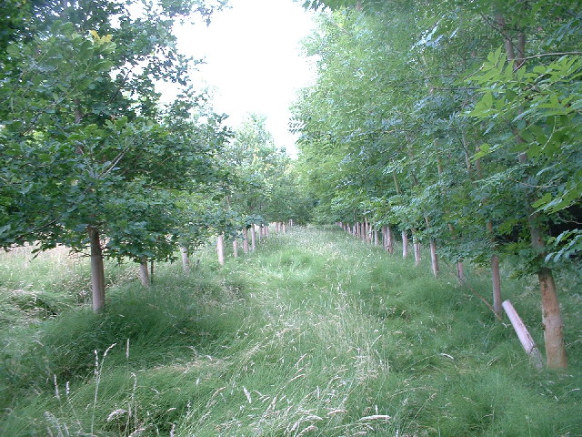
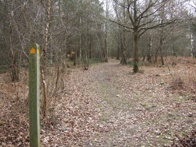
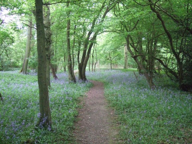
Broadlane Rough is a picturesque wooded area located in Surrey, England. Situated in the heart of the county, this forested landscape is a haven for nature enthusiasts and outdoor lovers. Spanning over a vast area, Broadlane Rough is known for its diverse flora and fauna, making it a popular destination for hikers, birdwatchers, and wildlife photographers.
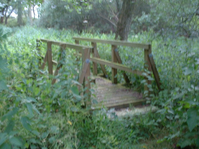
The woodland is predominantly composed of native tree species such as oak, beech, and birch, creating a dense and lush canopy. The forest floor is adorned with a rich carpet of ferns, bluebells, and other wildflowers, adding to the area's natural beauty. Walking trails wind their way through the forest, offering visitors an opportunity to immerse themselves in the peaceful surroundings and discover the hidden gems of Broadlane Rough.
The forest is home to a wide variety of wildlife, including deer, foxes, badgers, and numerous bird species. Birdwatchers can spot woodpeckers, owls, and various migratory birds that frequent the area. Additionally, the forest's tranquil ponds attract amphibians and insects, providing a habitat for frogs, dragonflies, and damselflies.
Broadlane Rough is well-maintained by local authorities, ensuring the preservation of its natural beauty. It is a designated nature reserve, which means that it is protected and managed to conserve its unique ecosystem. The forest also offers educational programs and guided walks to promote awareness about the importance of biodiversity and wildlife conservation.
Whether it is a leisurely stroll, a birdwatching expedition, or simply a desire to reconnect with nature, Broadlane Rough in Surrey is an ideal destination for those seeking tranquility and a glimpse into the wonders of the natural world.
If you have any feedback on the listing, please let us know in the comments section below.
Broadlane Rough Images
Images are sourced within 2km of 51.190296/-0.26543907 or Grid Reference TQ2144. Thanks to Geograph Open Source API. All images are credited.


Broadlane Rough is located at Grid Ref: TQ2144 (Lat: 51.190296, Lng: -0.26543907)
Administrative County: Surrey
District: Mole Valley
Police Authority: Surrey
What 3 Words
///priced.listed.move. Near Holmwood, Surrey
Nearby Locations
Related Wikis

Newdigate
Newdigate is a village and civil parish in the Mole Valley borough of Surrey lying in a relatively flat part of the Weald to the east of the A24 road between...
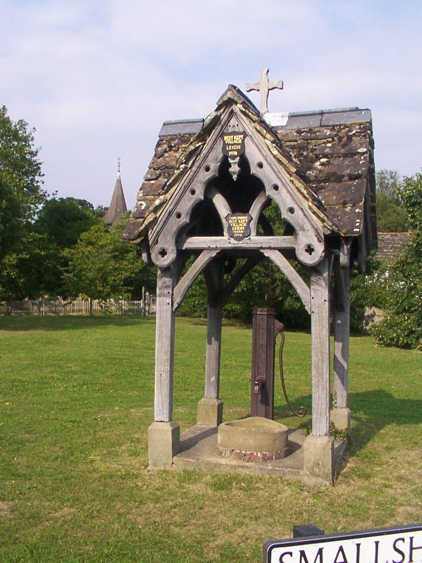
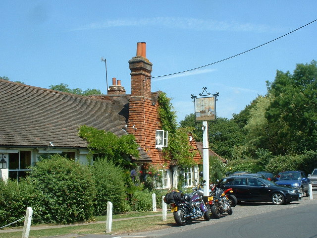
Leigh, Surrey
Leigh is a village and civil parish in Surrey, between Reigate, Dorking and Charlwood in the east of Mole Valley district. The village centre is suburban...

Newdigate Brickworks
Newdigate Brickworks is a 24-hectare (59-acre) nature reserve in Newdigate in Surrey. It is managed by the Surrey Wildlife Trust.The clay pits of this...

Wotton Hundred
The Hundred of Wotton, Wotton Hundred or Dorking Hundred was a hundred in Surrey, England. The hundred comprised a south-central portion of the county...
Moon Hall School
Moon Hall School, since 1952 an independent co-educational preparatory school at Leigh, near Reigate in Surrey, is currently, as of 2021, a special school...
Edolph's Copse
Edolph's Copse is a 27.6-hectare (68-acre) Local Nature Reserve west of Horley in Surrey. It is owned and managed by the Woodland Trust.The copse is mainly...

Holmwood railway station
Holmwood railway station serves the villages of Beare Green and South Holmwood in Surrey, England, on the Sutton and Mole Valley Lines between Dorking...

South Holmwood
South Holmwood () is a semi-rural village in Surrey, England. It can be considered cognate with its wider civil parish, which stretches to the east to...
Nearby Amenities
Located within 500m of 51.190296,-0.26543907Have you been to Broadlane Rough?
Leave your review of Broadlane Rough below (or comments, questions and feedback).