Furzefield Shaw

Wood, Forest in Sussex Horsham

England

Furzefield Shaw

Tree overhanging the river Adur
Tree overhanging the river Adur Credit: Ian Cunliffe

Furzefield Shaw is a charming wooded area located in Sussex, England. This forested area is known for its dense foliage, diverse wildlife, and serene atmosphere. The shaw is primarily composed of a mix of broadleaf trees such as oak, beech, and chestnut, which create a lush and green canopy overhead.

The forest floor is covered in a carpet of ferns, mosses, and wildflowers, adding to the natural beauty of the area. Visitors to Furzefield Shaw can enjoy peaceful walks along the well-maintained trails that wind through the woods, providing opportunities to observe the various plants and animals that call this forest home.

Birdwatchers may also be delighted by the numerous species of birds that inhabit the area, including woodpeckers, owls, and songbirds. The tranquil setting of Furzefield Shaw makes it a popular destination for nature lovers, hikers, and those seeking a peaceful retreat from the hustle and bustle of everyday life.

Overall, Furzefield Shaw is a picturesque and tranquil woodland that offers a glimpse into the natural beauty of the Sussex countryside.

If you have any feedback on the listing, please let us know in the comments section below.

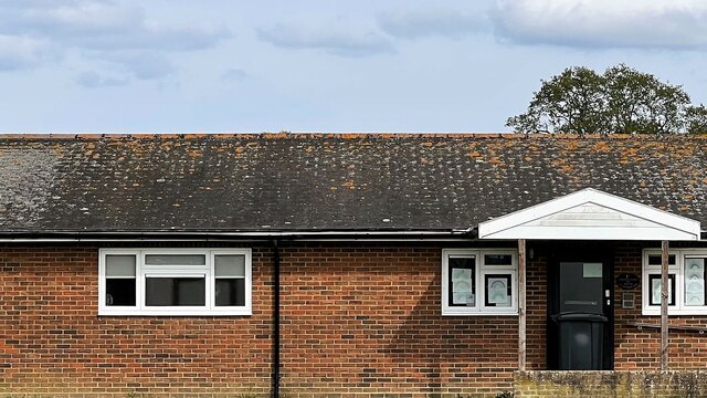
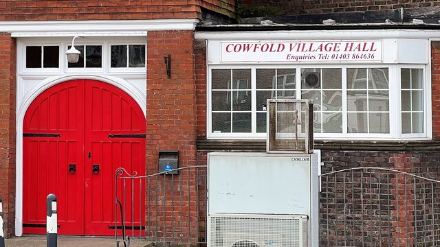
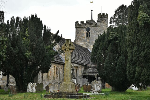
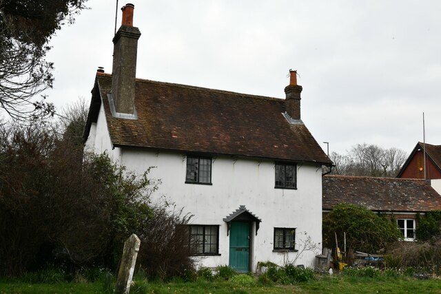
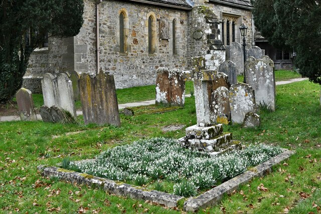
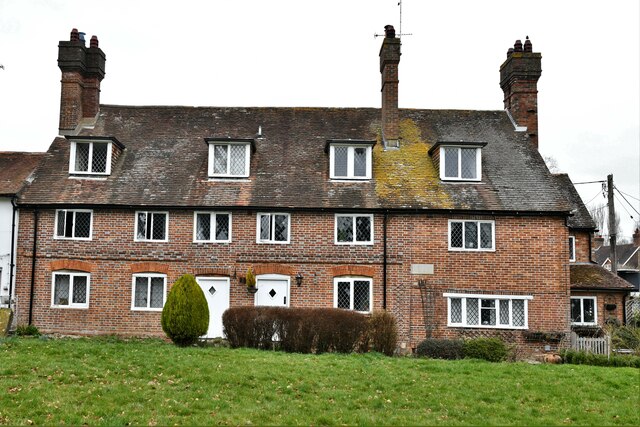
Furzefield Shaw Images

Images are sourced within 2km of 50.972489/-0.27350895 or Grid Reference TQ2120. Thanks to Geograph Open Source API. All images are credited.

Tree overhanging the river Adur
St Hugh's Charterhouse monastery This place has huge footprint on the OS map, yet I understand that only about 25 monks live here. The spire is visible from miles away on the Downs, yet you could easily drive down the nearby A281 without even spotting it.
St Hugh's Charterhouse monastery
This place has huge footprint on the OS map, yet I understand that only about 25 monks live here. The spire is visible from miles away on the Downs, yet you could easily drive down the nearby A281 without even spotting it.
Scout hut
Scout hut
Cowfold Village Hall
Oakfield Cottages
Oakfield Cottages
Cowfold, St. Peter's Church: North eastern aspect
Cowfold: The Olde House
Cowfold, St. Peter's Church: North east part of the churchyard
Cowfold: Margaret Cottages
Cowfold, St. Peter's Church: Stained glass window 1
Cowfold, St. Peter's Church: Stained glass window 1 (detail)
Cowfold, St. Peter's Church: Stained glass window 2
Cowfold, St. Peter's Church: Stained glass window 3, memorial insert
Cowfold, St. Peter's Church: Stained glass window 4
Cowfold, St. Peter's Church: The Peirce and Heald memorial
Cowfold, St. Peter's Church: The Bruere Otter memorial
Cowfold, St. Peter's Church: The Constable memorial
Cowfold, St. Peter's Church: The font
Show me another place!

Furzefield Shaw is located at Grid Ref: TQ2120 (Lat: 50.972489, Lng: -0.27350895)

Administrative County: West Sussex

District: Horsham

Police Authority: Sussex

What 3 Words

///shifters.upset.sliders. Near Cowfold, West Sussex

Nearby Locations

Furzefield Shaw

Related Wikis

St Hugh's Charterhouse

St Hugh's Charterhouse, Parkminster, is the only post-Reformation Carthusian monastery in the United Kingdom. It is located in the parish of Cowfold, West...

Shermanbury

Shermanbury is a village and civil parish in the Horsham District of West Sussex, England. It lies on the A281 road approximately 2 miles (3 km) north...

Henfield (electoral division)

Henfield is an electoral division of West Sussex in the United Kingdom and returns one member to sit on West Sussex County Council. The current County...

Cowfold

Cowfold is a village and civil parish between Billingshurst and Haywards Heath in the Horsham District of West Sussex, England. The village is at the intersection...

Nearby Amenities

Located within 500m of 50.972489,-0.27350895
Bus Stop
St Hugh's Monastary
Naptan AtcoCode: 4400HR0409
Naptan Bearing: N
Naptan CommonName: St Hugh's Monastary
Naptan Indicator: opp Monastery
Naptan Landmark: St Hugh's Monastary
Naptan NaptanCode: wsxawgtw
Naptan Street: A281
Naptan Verified: no
Public Transport: platform
Source: naptan_import
Lat/Long: 50.9723188/-0.2792232
Bus Stop
St Hugh's Monastary
Naptan AtcoCode: 4400HR0410
Naptan Bearing: N
Naptan BusStopType: CUS
Naptan CommonName: St Hugh's Monastary
Naptan Indicator: adj Monastery
Naptan Landmark: St Hugh's Monastary
Naptan NaptanCode: wsxawgwa
Naptan Street: A281
Naptan Verified: no
Public Transport: platform
Source: naptan_import
Lat/Long: 50.9723611/-0.2794419
Power: pole
Lat/Long: 50.9759382/-0.276221
Power: pole
Lat/Long: 50.9761599/-0.2770833
The data included in this document is from www.openstreetmap.org. The data is made available under ODbL.

Have you been to Furzefield Shaw?

Leave your review of Furzefield Shaw below (or comments, questions and feedback).