Greenslade Wood
Wood, Forest in Sussex Horsham
England
Greenslade Wood

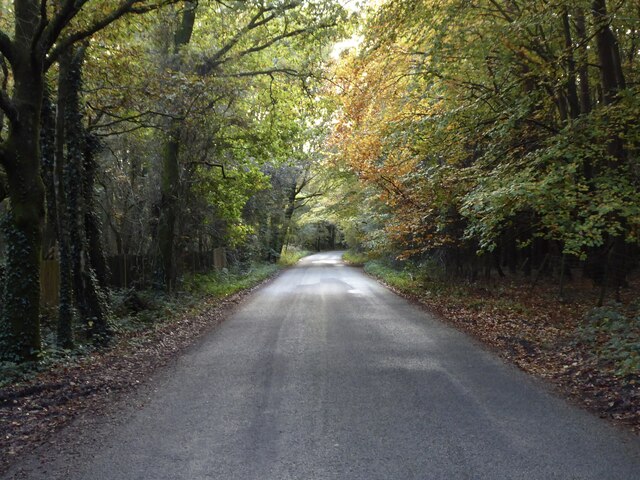
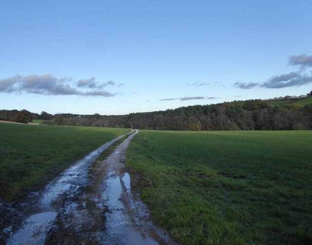
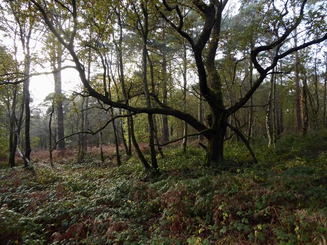
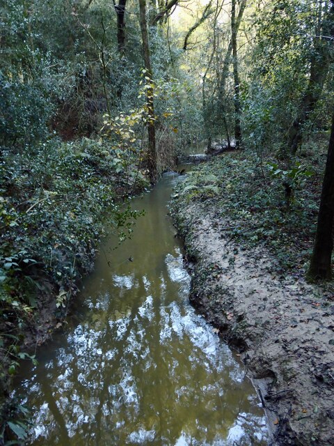
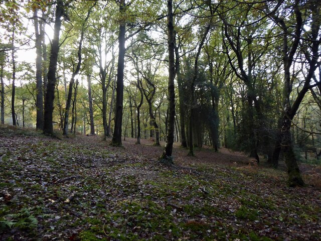
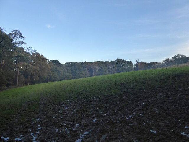
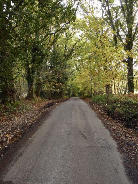
Greenslade Wood is a picturesque woodland located in the county of Sussex, England. Covering an area of approximately 100 acres, it is a well-preserved example of a mixed deciduous forest. The wood is situated on gently undulating terrain, with a variety of tree species that provide a vibrant and diverse ecosystem.
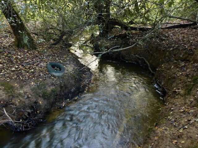
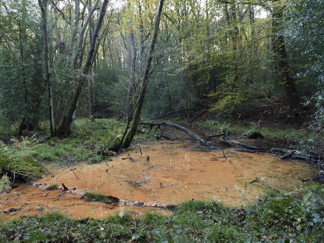
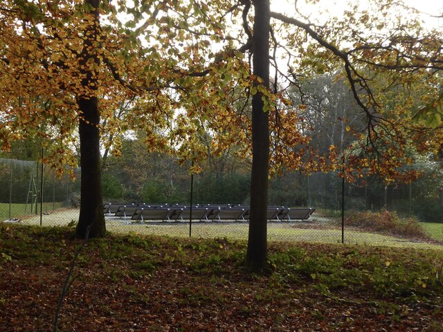
The dominant tree species in Greenslade Wood include oak, beech, and ash, which form a dense canopy and create a cool, shaded environment. These towering trees provide a habitat for a plethora of wildlife, including birds, small mammals, and insects. The forest floor is adorned with a rich carpet of bluebells in the spring, creating a stunning display of vibrant color.
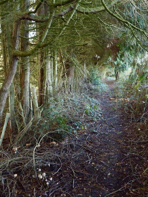
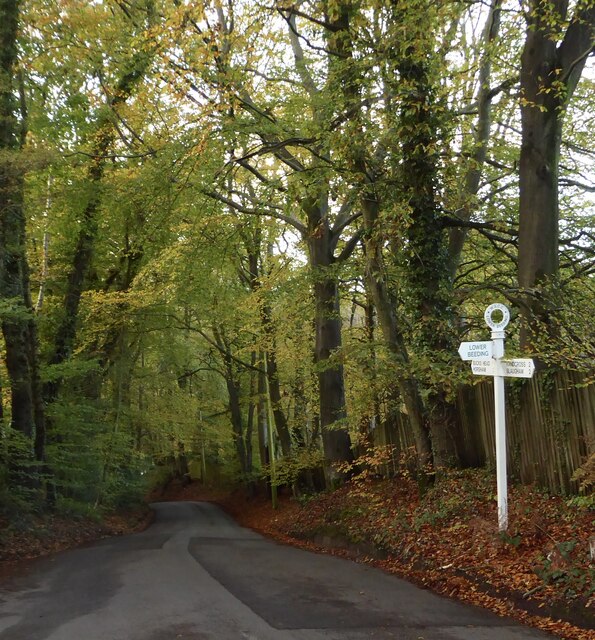
A network of footpaths and trails wind their way through the wood, offering visitors the opportunity to explore its natural beauty. These pathways are well-maintained and make for pleasant walks, allowing visitors to immerse themselves in the tranquil surroundings.
Greenslade Wood is also home to a variety of plant species, including ferns, mosses, and wildflowers. This diverse array of vegetation contributes to the overall biodiversity of the wood, providing food and shelter for its inhabitants.
Managed by a local conservation organization, Greenslade Wood is carefully protected to ensure its long-term preservation. This includes sustainable timber harvesting practices, tree planting initiatives, and regular monitoring of the woodland's health.
Overall, Greenslade Wood is a captivating and enchanting forest, offering visitors an opportunity to connect with nature and experience the beauty of Sussex's woodlands.
If you have any feedback on the listing, please let us know in the comments section below.
Greenslade Wood Images
Images are sourced within 2km of 51.057302/-0.27044197 or Grid Reference TQ2130. Thanks to Geograph Open Source API. All images are credited.

Greenslade Wood is located at Grid Ref: TQ2130 (Lat: 51.057302, Lng: -0.27044197)
Administrative County: West Sussex
District: Horsham
Police Authority: Sussex
What 3 Words
///protected.dabbing.onlookers. Near Horsham, West Sussex
Nearby Locations
Related Wikis

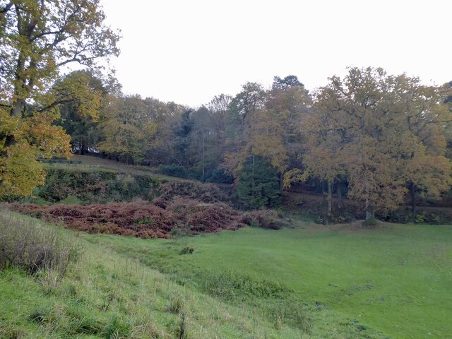
St Leonard's Forest SSSI
St Leonard's Forest SSSI is an 85.4-hectare (211-acre) biological Site of Special Scientific Interest east of Horsham in West Sussex. The SSSI is in two...

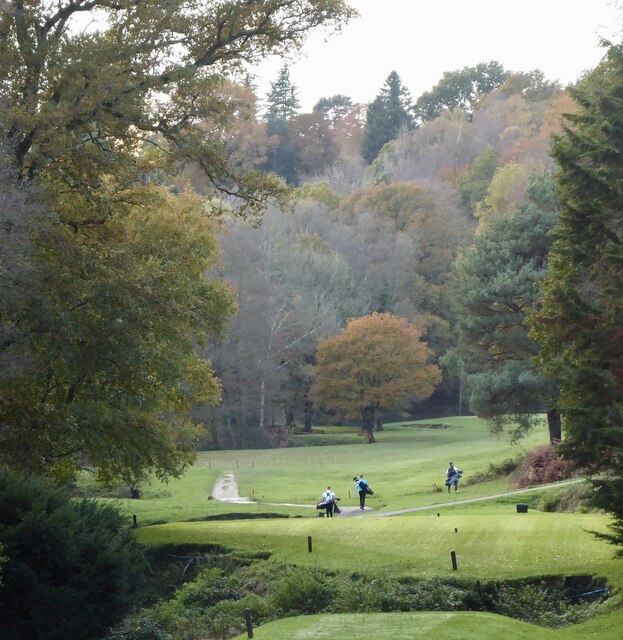
Mannings Heath Golf & Wine Estate
Mannings Heath Golf & Wine Estate is located in Mannings Heath, Horsham in the south of England. The 500 acre parkland site includes two golf courses and...

St Leonard's Forest
St Leonard's Forest is at the western end of the Wealden Forest Ridge which runs from Horsham to Tonbridge, and is part of the High Weald Area of Outstanding...

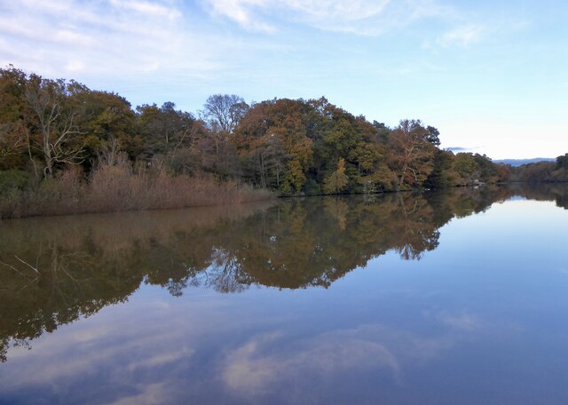
St Leonard's Park Ponds
St Leonard's Park Ponds is a 3.9-hectare (9.6-acre) biological Site of Special Scientific Interest east of Horsham in West Sussex.These ponds and adjacent...

Mannings Heath
Mannings Heath is a village in the civil parish of Nuthurst and the Horsham District of West Sussex, England. The village is on the A281 road, 2 miles...

Horsham Riverside (electoral division)
Horsham Riverside is an electoral division of West Sussex in the United Kingdom and returns one member to sit on West Sussex County Council. == Extent... ==

The Forest School, Horsham
The Forest School is a comprehensive secondary school in Horsham, West Sussex, England. It educates students between the ages of 11 and 16 and is a specialist...

Millais School
Millais School is a girls' secondary school for students aged 11–16 in Horsham, West Sussex, England. There is no sixth form. The number on roll is over...
Nearby Amenities
Located within 500m of 51.057302,-0.27044197Have you been to Greenslade Wood?
Leave your review of Greenslade Wood below (or comments, questions and feedback).